Cholesbury Bottom

Valley in Hertfordshire Dacorum

England

Cholesbury Bottom

Commemorative Stone Pillar at Cholesbury Common This stone pillar is on Cholesbury Common and has a fixed plaque with the 
 following wording:

    This stone was erected in 1897 to
    mark Queen Victoria's Diamond
    Jubilee. It stands on the boundary
    between Hawridge and Cholesbury.

    The plaque was added in 1999 to
    mark the end of the millennium.

 There is very faint wording at the foot of the stone pillar.
Commemorative Stone Pillar at Cholesbury Common Credit: David Hillas

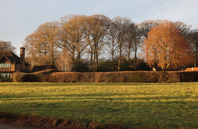
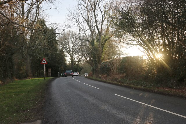
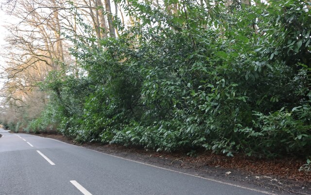
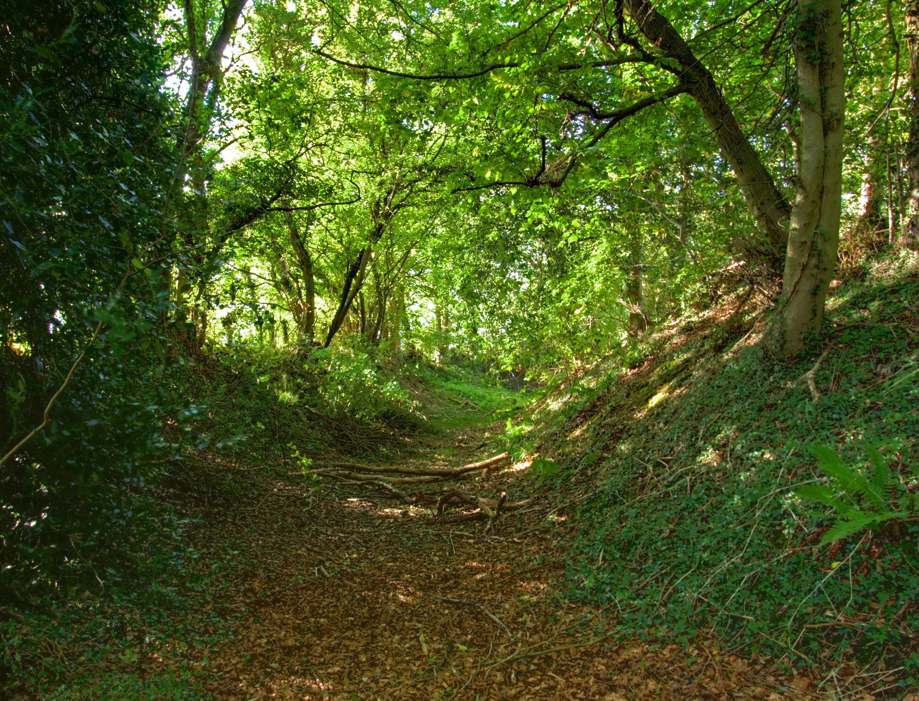
Cholesbury Bottom is a picturesque valley located in the county of Hertfordshire, England. Situated in the Chiltern Hills, it is a designated Area of Outstanding Natural Beauty. The valley is surrounded by rolling hills and offers panoramic views of the countryside, making it a popular destination for nature lovers and hikers.

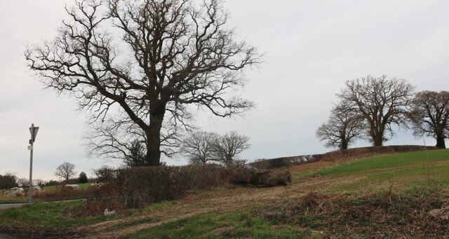
The valley is known for its diverse wildlife and rich flora, with a variety of habitats including woodlands, grasslands, and wetlands. It is home to several species of birds, butterflies, and wildflowers, making it a haven for nature enthusiasts and wildlife photographers.

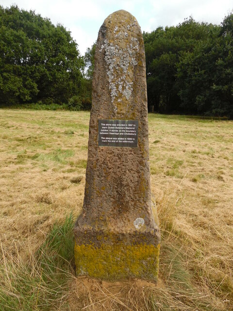
Cholesbury Bottom has a rich historical background, with evidence of human activity dating back to the Iron Age. The area is dotted with ancient earthworks, including hill forts and ditches, which are a testament to its past. The valley has also been an important agricultural area for centuries, with farming activities still visible today.

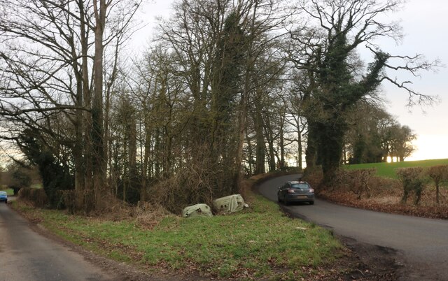
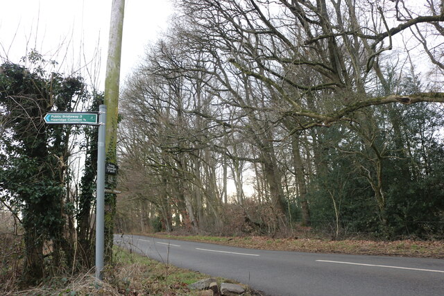
The valley offers a network of footpaths and trails, allowing visitors to explore the area and enjoy its natural beauty. The Chiltern Way, a long-distance walking route, passes through Cholesbury Bottom, offering stunning views and an opportunity to discover the valley's hidden gems.

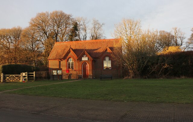
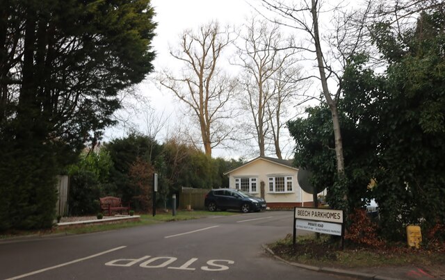
In addition to its natural beauty, Cholesbury Bottom is also home to a small village. The village has a charming, traditional atmosphere, with quaint cottages and a historic church. It offers a peaceful escape from the hustle and bustle of city life.

Overall, Cholesbury Bottom is a beautiful and tranquil valley, offering a unique blend of natural scenery, wildlife, and historical significance. It is a must-visit destination for those seeking a peaceful and immersive experience in the heart of the Hertfordshire countryside.

If you have any feedback on the listing, please let us know in the comments section below.

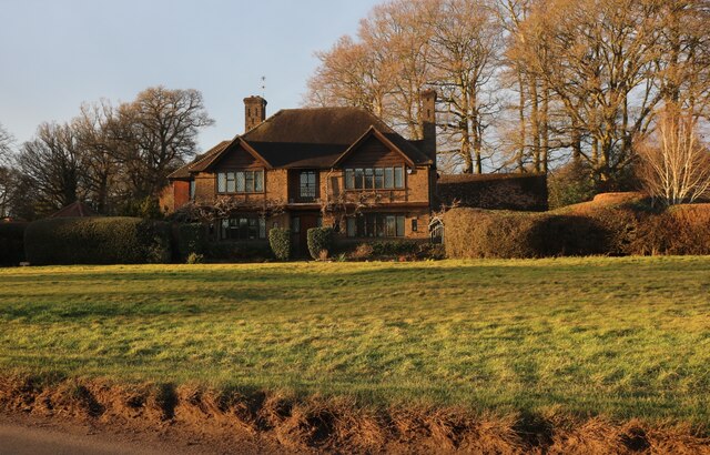
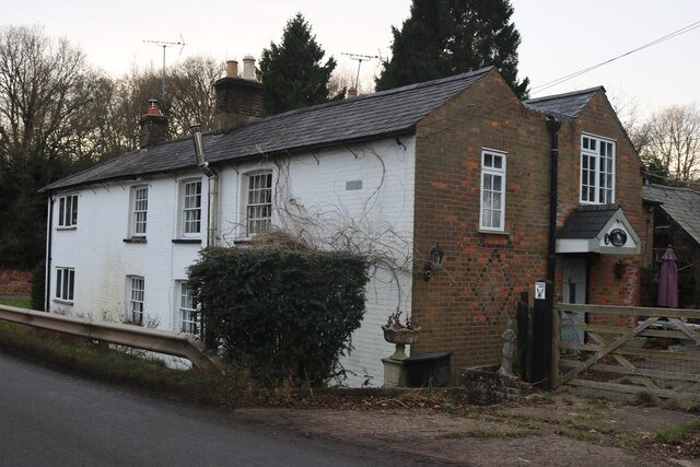
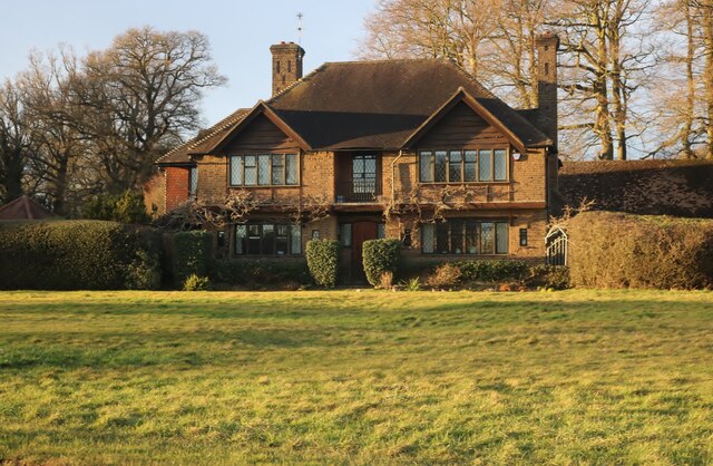
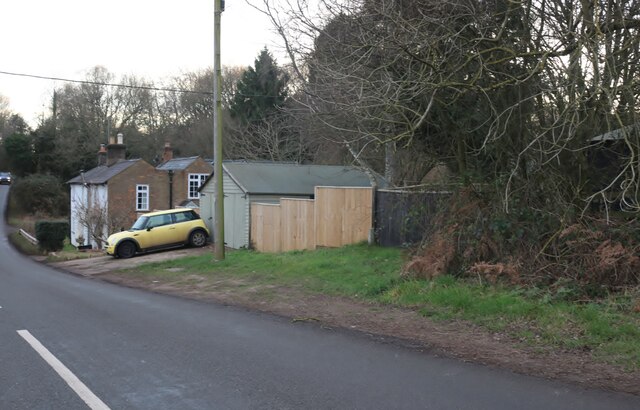
Cholesbury Bottom Images

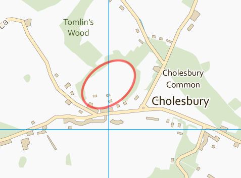
Images are sourced within 2km of 51.757991/-0.64783583 or Grid Reference SP9307. Thanks to Geograph Open Source API. All images are credited.

Commemorative Stone Pillar at Cholesbury Common This stone pillar is on Cholesbury Common and has a fixed plaque with the 
 following wording:

    This stone was erected in 1897 to
    mark Queen Victoria's Diamond
    Jubilee. It stands on the boundary
    between Hawridge and Cholesbury.

    The plaque was added in 1999 to
    mark the end of the millennium.

 There is very faint wording at the foot of the stone pillar.
Commemorative Stone Pillar at Cholesbury Common
This stone pillar is on Cholesbury Common and has a fixed plaque with the following wording: This stone was erected in 1897 to mark Queen Victoria's Diamond Jubilee. It stands on the boundary between Hawridge and Cholesbury. The plaque was added in 1999 to mark the end of the millennium. There is very faint wording at the foot of the stone pillar.
Chiltern Motors Garage, Buckland Common Situated in Cholesbury Lane HP23 6NQ, this garage was established in 2004 and carries out servicing and repairs on a wide variety of car makes and models. The two disused petrol pumps at the front of the garage each show the same price of 4/11d per quart. They must date back to the post-war era to be selling petrol at that price!
Chiltern Motors Garage, Buckland Common
Situated in Cholesbury Lane HP23 6NQ, this garage was established in 2004 and carries out servicing and repairs on a wide variety of car makes and models. The two disused petrol pumps at the front of the garage each show the same price of 4/11d per quart. They must date back to the post-war era to be selling petrol at that price!
Junction on Cock Grove, Heath End
Cholesbury Village Hall
Cholesbury Common
Cholesbury Common
House on Cholesbury Common
Old house on Cholesbury Road
House on Cholesbury Common
Cholesbury Road
Cholesbury Road
Cholesbury Road
Cholesbury Road
Cholesbury Road
Cholesbury Road
Beech Park, Cholesbury
Field by Chesham Road, Heath End
Chesham Road, Cholesbury
The entrance to Meadowview Caravan Park, Buckland Common
Buckland Common
Buckland Common
Bottom Lane, Buckland Common
House on Jenkins Lane, Buckland Common
Show me another place!

Cholesbury Bottom is located at Grid Ref: SP9307 (Lat: 51.757991, Lng: -0.64783583)

Administrative County: Hertfordshire

District: Dacorum

Police Authority: Hertfordshire

What 3 Words

///emeralds.tweeted.inhaler. Near Tring, Hertfordshire

Nearby Locations

Cholesbury Bottom

Related Wikis

Cholesbury-cum-St Leonards

Cholesbury-cum-St Leonards is a civil parish in the Chiltern district of the English county of Buckinghamshire. It lies in the Chiltern Hills just to the...

Cholesbury Camp

Cholesbury Camp is a large and well-preserved Iron Age hill fort on the northern edge of the village of Cholesbury in Buckinghamshire, England. It is roughly...

Cholesbury

Cholesbury (recorded as Chelwardisbyry in the 13th century) is a village and former civil parish, now in the parish of Cholesbury-cum-St. Leonards, in...
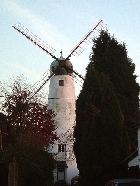
Hawridge Windmill

Hawridge Windmill which is also known as Cholesbury Windmill is a disused tower mill in Hawridge, Buckinghamshire. The mill was constructed on the site...

Buckland Common

Buckland Common is a hamlet in Buckinghamshire, England. It is located in the Chiltern Hills, 4 miles (6.4 km) east of Wendover and the same distance south...

Champneys

Champneys is an English country house and its associated estate near Tring, Hertfordshire. The mansion is run as a destination spa by a business using...

Hawridge

Hawridge ( HA-rij; recorded as Hoquerug in the 12th century) is a small village in the Chilterns in the county of Buckinghamshire, England and bordering...

Hawridge Court ringwork

Hawridge Court ringwork is a small, well-preserved medieval fortification located in Cholesbury-cum-St Leonards, in Buckinghamshire, England. Ringworks...

Nearby Amenities

Located within 500m of 51.757991,-0.64783583
Cholesbury
Is In: Buckinghamshire
Place: village
Source: npe
Wikidata: Q5104312
Lat/Long: 51.7550767/-0.6511221
Bus Stop
Kiln Road
Bus: yes
Local Ref: NR
Naptan AtcoCode: 210021422200
Naptan Bearing: NE
Naptan BusStopType: CUS
Naptan CommonName: Kiln Road
Naptan Crossing: Nursery
Naptan Indicator: nr
Naptan Landmark: Nursery
Naptan NaptanCode: hrtdgadg
Naptan ShortCommonName: NA
Naptan Street: Cholesbury Road
Naptan Verified: no
Public Transport: platform
Source: naptan_import
Lat/Long: 51.7603157/-0.6469787
Bus Stop
Kiln Road
Bus: yes
Naptan AtcoCode: 210021427300
Naptan Bearing: SW
Naptan BusStopType: CUS
Naptan CommonName: Kiln Road
Naptan Crossing: Purple Heather Farm
Naptan Indicator: opp
Naptan Landmark: Purple Heather Farm
Naptan NaptanCode: hrtdapwa
Naptan ShortCommonName: NA
Naptan Street: Cholesbury Road
Naptan Verified: no
Public Transport: platform
Source: naptan_import
Lat/Long: 51.7600308/-0.6472191
Post Box
Brand: Royal Mail
Brand Wikidata: Q638098
Collection Times: Mo-Fr 16:15; Sa 09:45
Operator: Royal Mail
Operator Wikidata: Q638098
Post Box Type: lamp
Ref: HP23 123
Royal Cypher: EIIR
Royal Cypher Wikidata: Q33102113
Source: survey
Lat/Long: 51.7549812/-0.6508218
Diamond Jubilee Memorial
Description: These three pudding stones have been placed, by the villagers of Hawridge and Cholesbury, on the site of a beacon which was lit on 4th June 1012 to celebrate Queen Elizabeth II's Diamond Jubilee.
Lat/Long: 51.7545872/-0.6480859
Queen Victoria's Jubilee Stone
Artwork Type: sculpture
Description: A stone obelisk - This stone was erected in 1897 to mark Queen Victoria's Diamond Jubilee. It stands on the boundary between Hawridge and Cholesbury. The plaque was added in 1999 to mark the end of the millennium.
Historic: boundary_stone
Material: stone
Lat/Long: 51.7541233/-0.646677
Barrier: stile
Lat/Long: 51.7554464/-0.653274
Board Type: notice
Information: board
Tourism: information
Lat/Long: 51.7550105/-0.6508102
The data included in this document is from www.openstreetmap.org. The data is made available under ODbL.

Have you been to Cholesbury Bottom?

Leave your review of Cholesbury Bottom below (or comments, questions and feedback).