Golden Combe Bottom
Valley in Sussex Chichester
England
Golden Combe Bottom
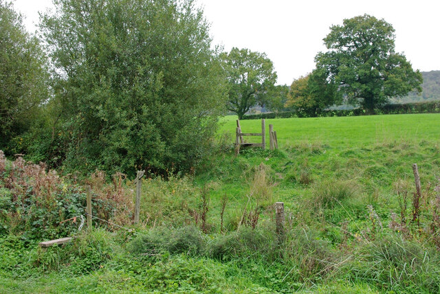
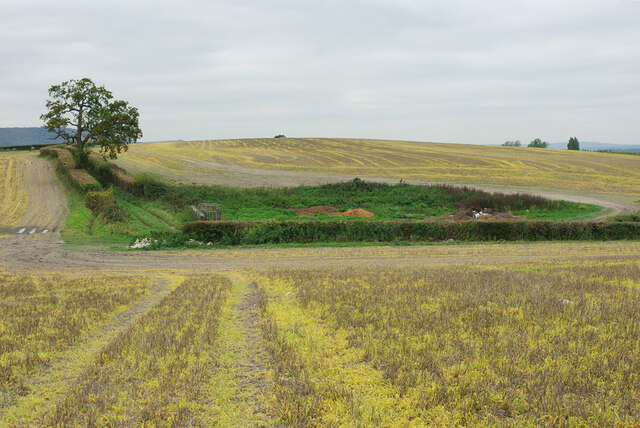
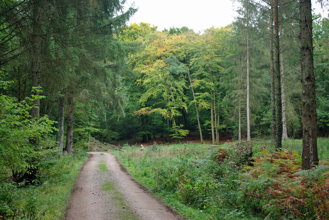
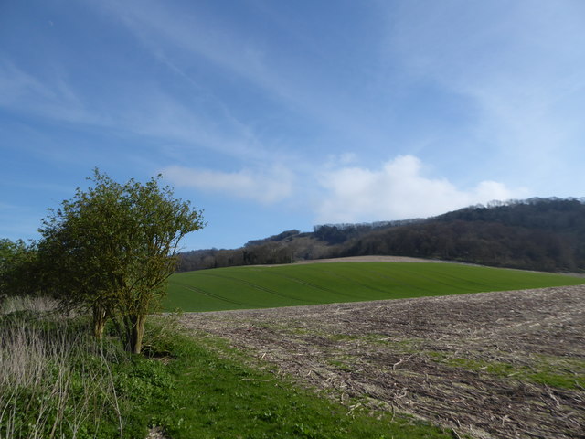
Golden Combe Bottom is a picturesque valley located in the county of Sussex, England. Nestled amidst the South Downs National Park, this area is renowned for its outstanding natural beauty and tranquil surroundings. The valley stretches for approximately two miles, offering visitors stunning views of rolling hills, meandering streams, and lush green meadows.
The name "Golden Combe Bottom" is derived from the golden hues that bathe the landscape during the sunset, creating a magical and ethereal atmosphere. The valley is characterized by its diverse wildlife and rich biodiversity, making it a haven for nature enthusiasts and hikers alike. Rare species of flora and fauna can be found here, including wild orchids, butterflies, and various bird species.
The valley is also home to several walking trails, allowing visitors to explore its enchanting beauty at their own pace. These trails meander through woodlands, along babbling brooks, and up gentle slopes, providing a unique opportunity to immerse oneself in nature. In spring, the valley comes alive with vibrant wildflowers, adding a burst of color to the already picturesque surroundings.
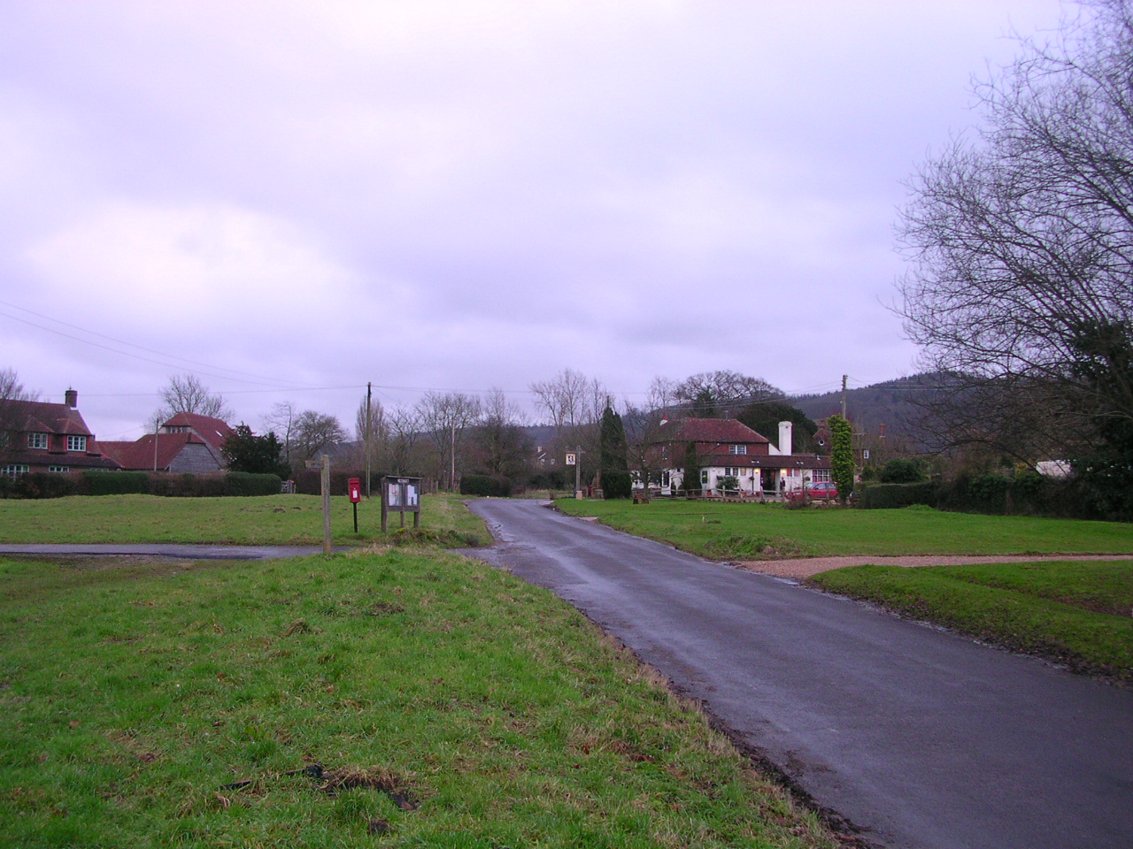
Golden Combe Bottom is a popular destination for those seeking respite from the hustle and bustle of city life. Its secluded location and serene ambiance make it an ideal spot for picnics, photography, and simply soaking in the tranquility. Whether one is an avid photographer, a nature lover, or simply someone in search of a peaceful retreat, Golden Combe Bottom offers an idyllic escape in the heart of Sussex.
If you have any feedback on the listing, please let us know in the comments section below.
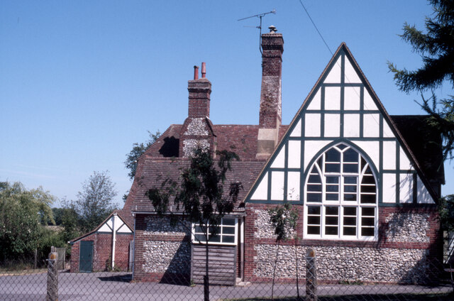
Golden Combe Bottom Images
Images are sourced within 2km of 50.94143/-0.69983987 or Grid Reference SU9116. Thanks to Geograph Open Source API. All images are credited.


Golden Combe Bottom is located at Grid Ref: SU9116 (Lat: 50.94143, Lng: -0.69983987)
Administrative County: West Sussex
District: Chichester
Police Authority: Sussex
What 3 Words
///breed.pizzeria.pastels. Near Midhurst, West Sussex
Nearby Locations
Related Wikis

Sussex Downs AONB
Sussex Downs Area of Outstanding Natural Beauty in England was designated in 1966. The designation was revoked in March 2010, together with the neighbouring...

Graffham
Graffham is a village, Anglican parish and civil parish in West Sussex, England, situated on the northern escarpment of the South Downs within the South...

Heyshott Down
Heyshott Down is a 42.6-hectare (105-acre) biological Site of Special Scientific Interest south of Midhurst in West Sussex. It is a Nature Conservation...
Heyshott
Heyshott is a village, Anglican parish and civil parish in the Chichester district of West Sussex, England. It is approximately three miles south of Midhurst...
Nearby Amenities
Located within 500m of 50.94143,-0.69983987Have you been to Golden Combe Bottom?
Leave your review of Golden Combe Bottom below (or comments, questions and feedback).