Old Dale
Valley in Yorkshire Ryedale
England
Old Dale

Old Dale is a picturesque village nestled in the heart of the Yorkshire Valley, located in the northern region of England. With a population of around 500 residents, it exudes tranquility and charm, making it an idyllic retreat for those seeking a peaceful countryside getaway.
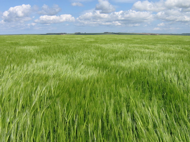
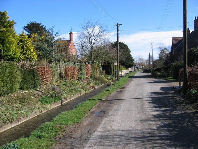
The village is known for its stunning natural beauty, surrounded by rolling hills, lush green meadows, and meandering streams. The landscape is dotted with traditional stone cottages, some dating back to the 17th century, which add to the village's timeless atmosphere.
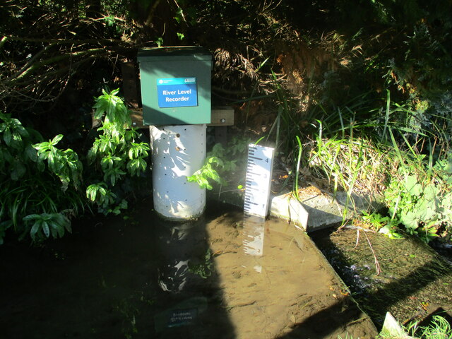
Old Dale offers a range of outdoor activities for nature enthusiasts. The valley's walking trails provide breathtaking views of the surrounding countryside, with highlights including the picturesque Old Dale Lake and the majestic Old Dale Bridge. The area is also known for its diverse wildlife, making it a haven for birdwatchers and nature lovers alike.
Despite its small size, Old Dale boasts a strong sense of community. The village has a charming village hall, which serves as a hub for social events and activities. The locals take pride in their heritage and often organize festivals and cultural events to celebrate the area's rich history.
Visitors to Old Dale can enjoy the warm hospitality of the village's traditional tea rooms and country pubs, where they can savor homemade treats and sample locally brewed ales. Additionally, there are a few small shops that offer locally sourced produce and crafts, perfect for those seeking souvenirs or a taste of the region's culinary delights.
In summary, Old Dale is a picturesque village in the Yorkshire Valley, offering a peaceful retreat amidst beautiful scenery. With its charming architecture, outdoor activities, and strong community spirit, it is a hidden gem that promises an unforgettable experience for visitors seeking a taste of traditional English countryside life.
If you have any feedback on the listing, please let us know in the comments section below.
Old Dale Images
Images are sourced within 2km of 54.108277/-0.62384114 or Grid Reference SE9068. Thanks to Geograph Open Source API. All images are credited.


Old Dale is located at Grid Ref: SE9068 (Lat: 54.108277, Lng: -0.62384114)
Division: East Riding
Administrative County: North Yorkshire
District: Ryedale
Police Authority: North Yorkshire
What 3 Words
///retailing.shots.shirtless. Near Rillington, North Yorkshire
Nearby Locations
Related Wikis
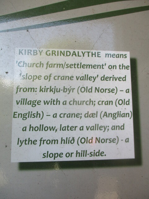
Kirby Grindalythe
Kirby Grindalythe is a village and civil parish in North Yorkshire, England. It is situated about 8 miles (13 km) south-east of Malton. The village lies...

Thirkleby, Kirby Grindalythe
Thirkleby is a hamlet in the civil parish of Kirby Grindalythe, Ryedale, North Yorkshire, England. Roger of Thirkleby (died 1260), a judge and Chief Justice...

Duggleby Howe
Duggleby Howe (also known as Howe Hill, Duggleby) is one of the largest round barrows in Britain, located on the southern side of the Great Wold Valley...

Duggleby
Duggleby is a hamlet in the civil parish of Kirby Grindalythe, in North Yorkshire, England. It was historically part of the East Riding of Yorkshire until...
Nearby Amenities
Located within 500m of 54.108277,-0.62384114Have you been to Old Dale?
Leave your review of Old Dale below (or comments, questions and feedback).