Harper Dale

Valley in Yorkshire

England

Harper Dale

The road towards Wetwang High hedges hide the rural view
The road towards Wetwang Credit: David Brown

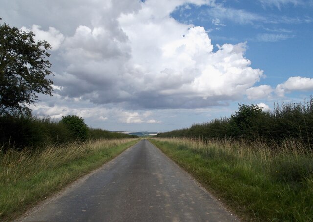
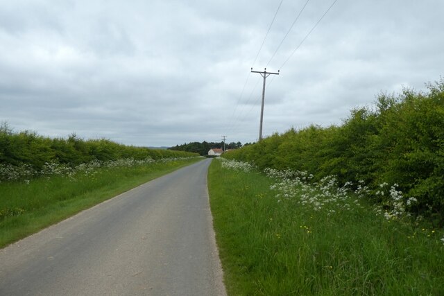
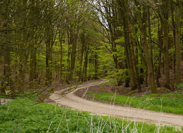
Harper Dale is a picturesque valley located in the heart of Yorkshire, England. Nestled amidst rolling hills and lush greenery, this idyllic destination is renowned for its natural beauty and tranquil atmosphere. The valley is named after the Harper family, who were the original settlers in the area during the 18th century.

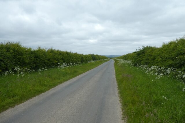
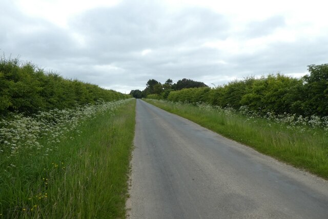
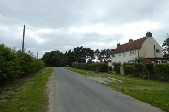
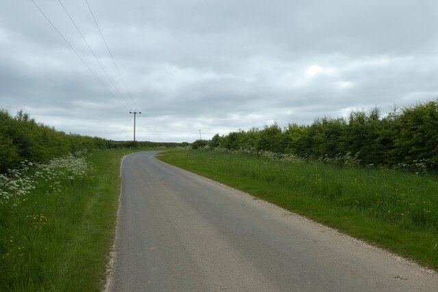
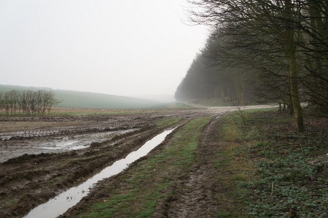
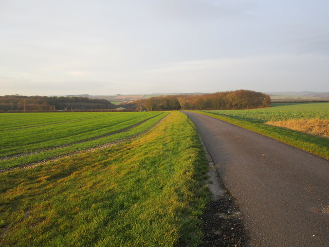
Harper Dale is characterized by its charming stone cottages and traditional architecture, which lend a sense of timeless charm to the surroundings. The valley is dotted with small farms and meandering streams, adding to its rural allure. The landscape is a haven for outdoor enthusiasts, offering a multitude of walking trails and scenic viewpoints.

One of the highlights of Harper Dale is its vibrant wildlife. The valley is home to a diverse range of flora and fauna, including rare bird species and wildflowers that carpet the meadows during the spring months. Nature lovers can often spot deer, rabbits, and even the occasional fox wandering through the fields.

The community in Harper Dale is close-knit and friendly, with a strong sense of pride in their heritage and surroundings. The valley hosts various local events throughout the year, including festivals, farmers' markets, and traditional fairs, which bring together residents and visitors alike.

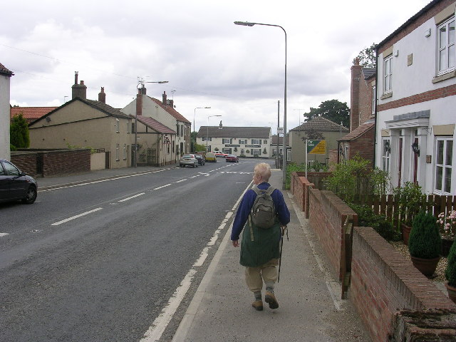
Visitors to Harper Dale can also explore nearby attractions, such as the historic market town of Skipton and the iconic Yorkshire Dales National Park. The valley's central location makes it an ideal base for exploring the wider region, with its charming villages, ancient ruins, and stunning landscapes.

In summary, Harper Dale offers a peaceful retreat amidst the natural beauty of Yorkshire. With its picturesque scenery, welcoming community, and abundant outdoor activities, it is a destination that captivates the hearts of all who visit.

If you have any feedback on the listing, please let us know in the comments section below.

Harper Dale Images

Images are sourced within 2km of 54.009445/-0.6351918 or Grid Reference SE8957. Thanks to Geograph Open Source API. All images are credited.

The road towards Wetwang High hedges hide the rural view
The road towards Wetwang
High hedges hide the rural view
Long road to Aunhamdale Farm
Track to Aunhamdale Farm Looking along a driveway across Aunham Flats towards the farm.
Track to Aunhamdale Farm
Looking along a driveway across Aunham Flats towards the farm.
Road near Aunham Flats Looking along Thorndale Lane between Wetwang and Huggate.
Road near Aunham Flats
Looking along Thorndale Lane between Wetwang and Huggate.
Road towards Painslack Farm Looking along Thorndale Lane between Wetwang and Huggate.
Road towards Painslack Farm
Looking along Thorndale Lane between Wetwang and Huggate.
Painslack Cottages Looking along Thorndale Lane between Wetwang and Huggate.
Painslack Cottages
Looking along Thorndale Lane between Wetwang and Huggate.
Lane near Painslack Cottages Looking along the lane between Wetwang and Huggate.
Lane near Painslack Cottages
Looking along the lane between Wetwang and Huggate.
Lane south of Painslack Cottages Looking along the lane between Wetwang and Huggate.
Lane south of Painslack Cottages
Looking along the lane between Wetwang and Huggate.
Ordnance Survey  Flush Bracket 11374 This bracket can be found on the wall of Green Lane Farm.
For more detail see : <span class="nowrap"><a title="http://www.bench-marks.org.uk/bm22203" rel="nofollow ugc noopener" href="http://www.bench-marks.org.uk/bm22203">Link</a><img style="margin-left:2px;" alt="External link" title="External link - shift click to open in new window" src="https://s1.geograph.org.uk/img/external.png" width="10" height="10"/></span>
Ordnance Survey Flush Bracket 11374
This bracket can be found on the wall of Green Lane Farm. For more detail see : LinkExternal link
Cowdale Plantation, Cow Dale, East Yorkshire
Cow Dale towards West Field
Looking towards Cinquefoil Hill from Cow Dale
Roadway to Painslack Farm
Cowdale Plantation near Wetwang, E Yorks The eastern end of the plantation which, from the evidence of feeders, pens and other shooting paraphernalia, seems to exist primarily as cover for game birds.
Cowdale Plantation near Wetwang, E Yorks
The eastern end of the plantation which, from the evidence of feeders, pens and other shooting paraphernalia, seems to exist primarily as cover for game birds.
Track into the plantation, near Wetwang This track leads to Painslack Farm from the path which runs along the northern edge of Cowdale plantation.
Track into the plantation, near Wetwang
This track leads to Painslack Farm from the path which runs along the northern edge of Cowdale plantation.
Pheasant in Cowdale Plantation Judging by the presence of many bird feeders, pens and other shooting paraphernalia nearby, this is an example of the main purpose of these woods
Pheasant in Cowdale Plantation
Judging by the presence of many bird feeders, pens and other shooting paraphernalia nearby, this is an example of the main purpose of these woods
Junction  of  Green  Lane  and  A166  toward  Fridaythorpe Green Lane on the left goes to Holmfield Farm and then becomes a track and bridleway
Junction of Green Lane and A166 toward Fridaythorpe
Green Lane on the left goes to Holmfield Farm and then becomes a track and bridleway
Show me another place!

Harper Dale is located at Grid Ref: SE8957 (Lat: 54.009445, Lng: -0.6351918)

Division: East Riding

Unitary Authority: East Riding of Yorkshire

Police Authority: Humberside

What 3 Words

///pythons.destiny.reviewed. Near Fimber, East Yorkshire

Related Wikis

Fridaythorpe

Fridaythorpe is a village and civil parish in the East Riding of Yorkshire, England. It is situated approximately 8 miles (13 km) north-east of Pocklington...

Fimber

Fimber is a village and civil parish in the East Riding of Yorkshire, England. It is situated approximately 8 miles (13 km) north-west of Driffield town...

Huggate

Huggate is a village and civil parish in the East Riding of Yorkshire, England. It is situated approximately 13 miles (21 km) north-west of Beverley town...

Yorkshire Wolds Railway

The Yorkshire Wolds Railway is a preserved railway in the East Riding of Yorkshire, England. It is located on a section of the Malton and Driffield Junction...

Nearby Amenities

Located within 500m of 54.009445,-0.6351918
Fixme: Where does the public footpath go from here?
Lat/Long: 54.0065736/-0.6409618
The data included in this document is from www.openstreetmap.org. The data is made available under ODbL.

Have you been to Harper Dale?

Leave your review of Harper Dale below (or comments, questions and feedback).