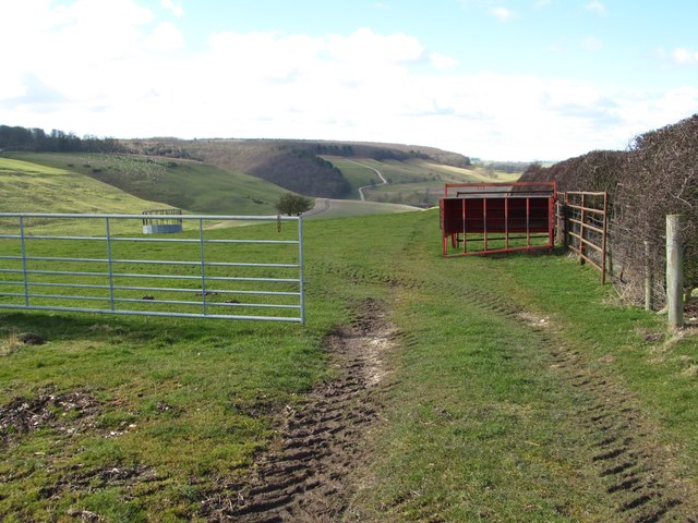
Clews Dale
Valley in Yorkshire Ryedale
England
Clews Dale

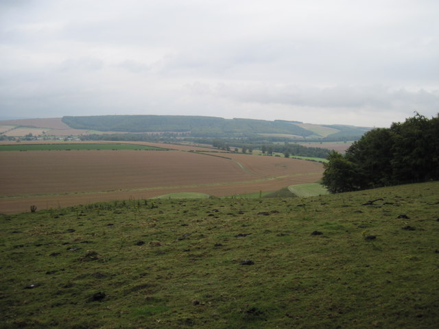
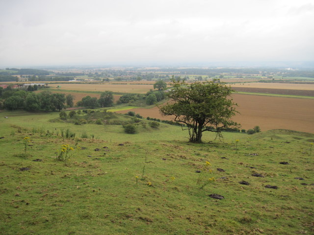
Clews Dale, located in Yorkshire, England, is a picturesque valley renowned for its natural beauty and historical significance. Nestled amidst rolling hills and lush greenery, this idyllic landscape attracts visitors from near and far.
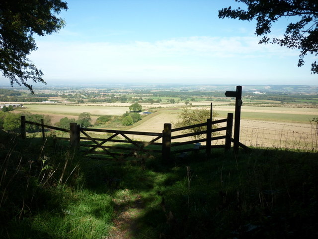
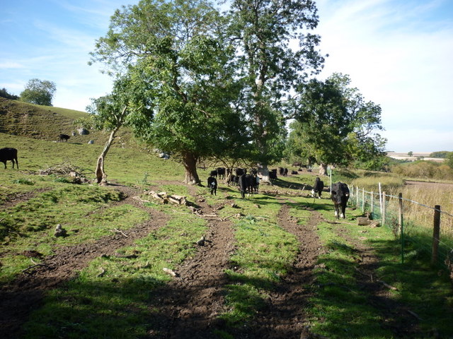
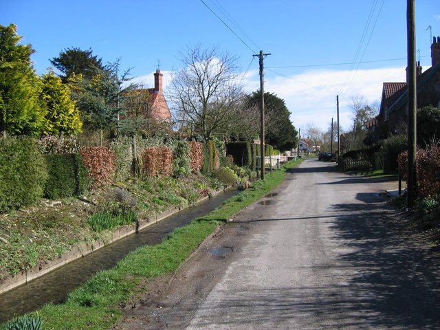
The valley is characterized by its charming villages and hamlets, which add to its rural charm. The tranquil atmosphere offers a peaceful retreat from the hustle and bustle of city life, making it a popular destination for nature lovers and hikers. Clews Dale is blessed with a diverse range of flora and fauna, including rare species of wildflowers and various bird species, making it an ideal spot for birdwatching and wildlife enthusiasts.
In addition to its natural beauty, Clews Dale boasts a rich history. The valley is dotted with ancient ruins and historical landmarks, such as medieval castles and churches. One of the most notable attractions in the area is the Clews Abbey, a former Cistercian monastery that dates back to the 12th century. Its impressive architecture and serene surroundings make it a must-visit for history buffs.
Visitors to Clews Dale can also indulge in outdoor activities like hiking, cycling, and horseback riding, with numerous trails and paths crisscrossing the valley. The local communities organize regular events and festivals, showcasing the region's cultural heritage and traditions.
Overall, Clews Dale offers a perfect blend of natural beauty, historical significance, and outdoor activities, making it a sought-after destination for those seeking both relaxation and exploration in the heart of Yorkshire.
If you have any feedback on the listing, please let us know in the comments section below.
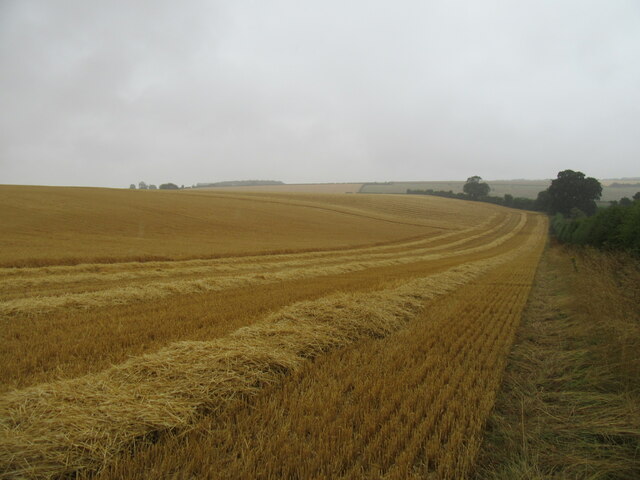
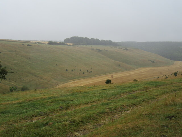
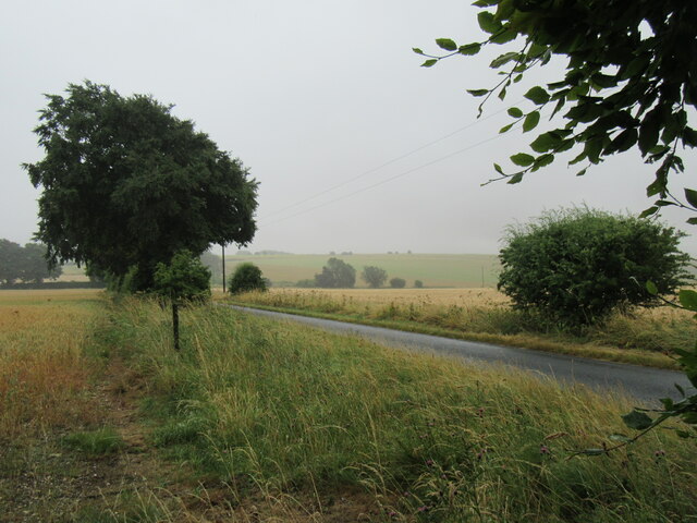
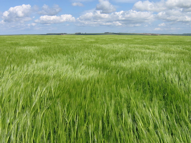
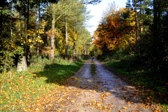
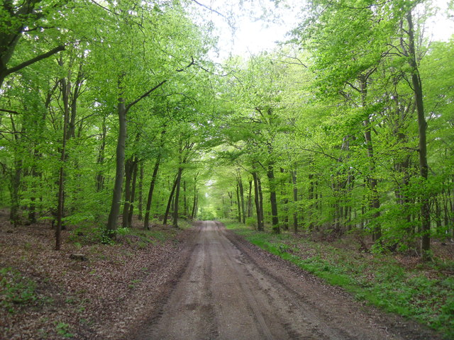
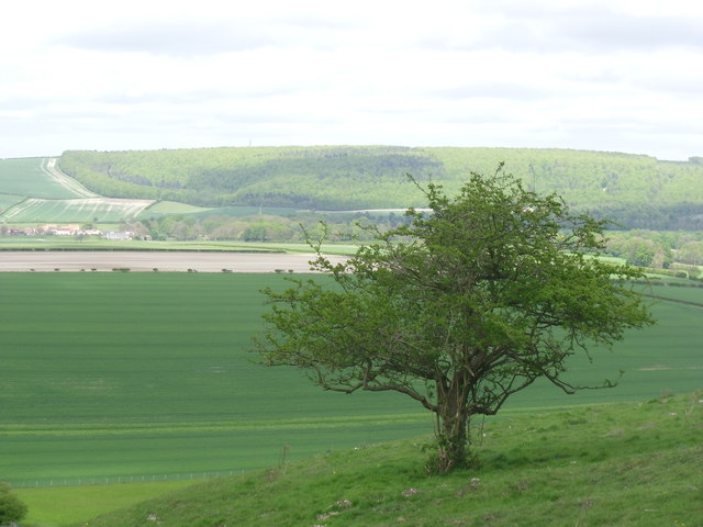
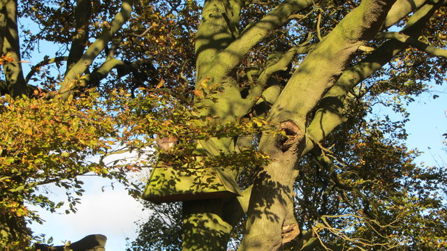
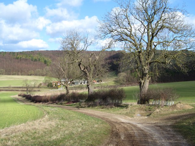
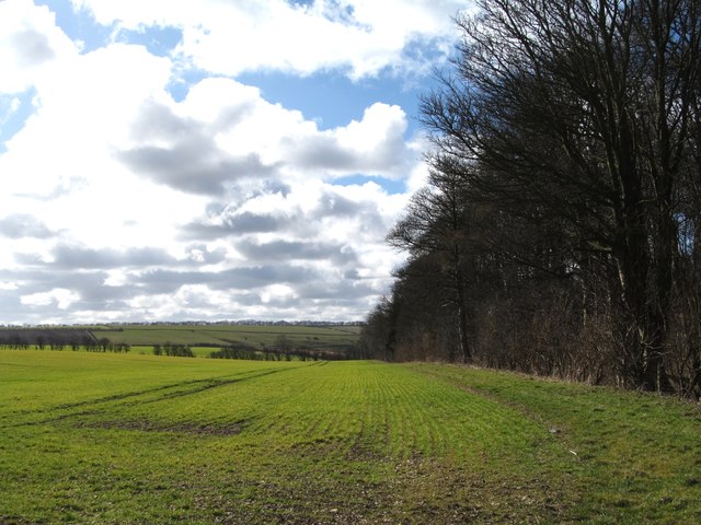
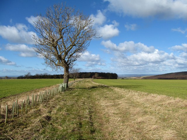
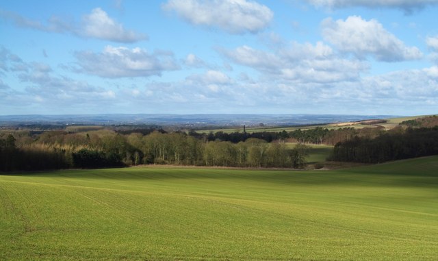
Clews Dale Images
Images are sourced within 2km of 54.126392/-0.64879683 or Grid Reference SE8870. Thanks to Geograph Open Source API. All images are credited.
Clews Dale is located at Grid Ref: SE8870 (Lat: 54.126392, Lng: -0.64879683)
Division: East Riding
Administrative County: North Yorkshire
District: Ryedale
Police Authority: North Yorkshire
What 3 Words
///quarrel.exclusive.bronzes. Near Rillington, North Yorkshire
Nearby Locations
Related Wikis

Norton Rural District (Yorkshire)
Norton was a rural district in the East Riding of Yorkshire from 1894 to 1974. It was based on the small town of Norton-on-Derwent, and was formed under...

Wintringham, North Yorkshire
Wintringham is a village and civil parish in North Yorkshire, England. The village is near the A64 road and 6 miles (9.7 km) east of Malton. Two long...

St Peter's Church, Wintringham
St Peter's Church is a redundant Anglican church in the village of Wintringham, North Yorkshire, England (grid reference SE 887 731). It is recorded in...

Thorpe Bassett
Thorpe Bassett is a village and civil parish in North Yorkshire, England. It is located between York and Scarborough in the North East of England. Surrounded...
All Saints Church, Thorpe Bassett
All Saints Church is in the village of Thorpe Bassett, North Yorkshire, England. It is an active Anglican parish church in the deanery of Southern Ryedale...

Duggleby
Duggleby is a hamlet in the civil parish of Kirby Grindalythe, in North Yorkshire, England. It was historically part of the East Riding of Yorkshire until...
Kirby Grindalythe
Kirby Grindalythe is a village and civil parish in North Yorkshire, England. It is situated about 8 miles (13 km) south-east of Malton. The village lies...

Duggleby Howe
Duggleby Howe (also known as Howe Hill, Duggleby) is one of the largest round barrows in Britain, located on the southern side of the Great Wold Valley...
Nearby Amenities
Located within 500m of 54.126392,-0.64879683Have you been to Clews Dale?
Leave your review of Clews Dale below (or comments, questions and feedback).