Flax Dale
Valley in Yorkshire Ryedale
England
Flax Dale
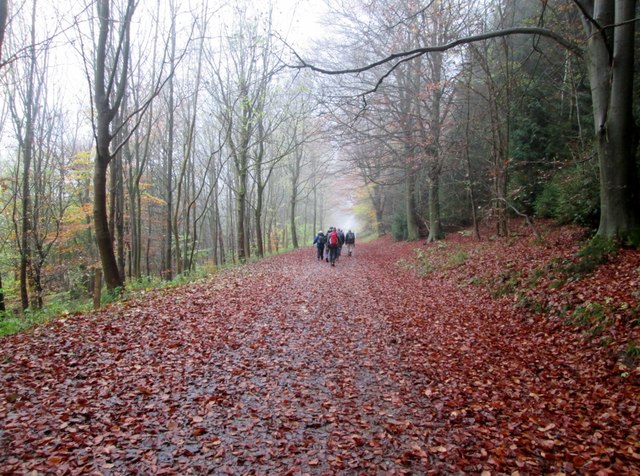
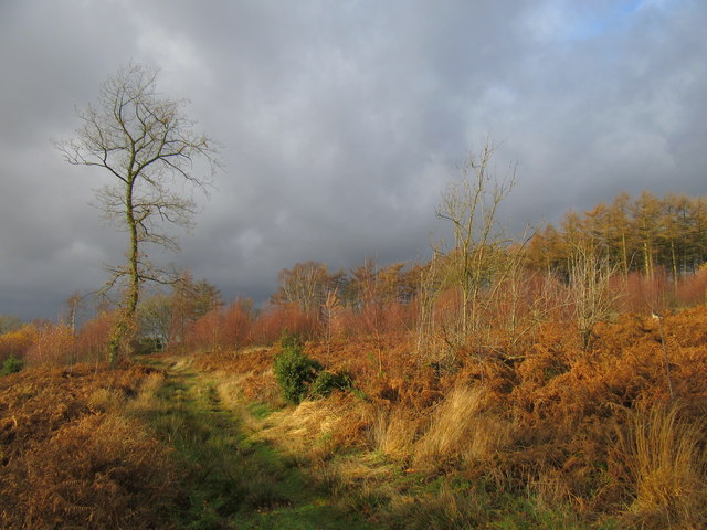
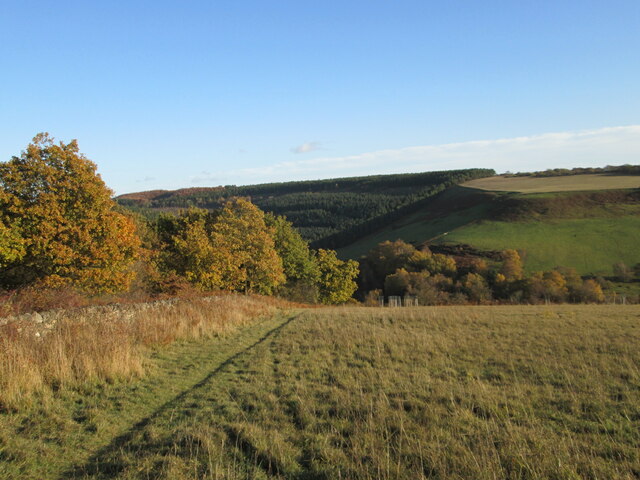
Flax Dale is a picturesque valley located in Yorkshire, England. Situated in the region known for its stunning landscapes, Flax Dale is nestled within the rolling hills and lush greenery that Yorkshire is renowned for. The valley is named after the flax plant, which was historically grown in the area for its valuable fibers.
With its idyllic charm and natural beauty, Flax Dale attracts visitors from far and wide. The valley is home to a diverse range of flora and fauna, making it a haven for nature lovers and wildlife enthusiasts. The tranquil atmosphere and peaceful ambiance create the perfect setting for those seeking solace and relaxation amidst nature.
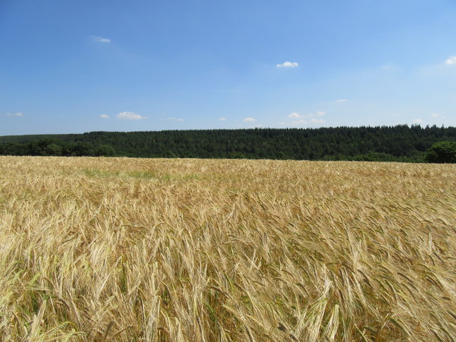
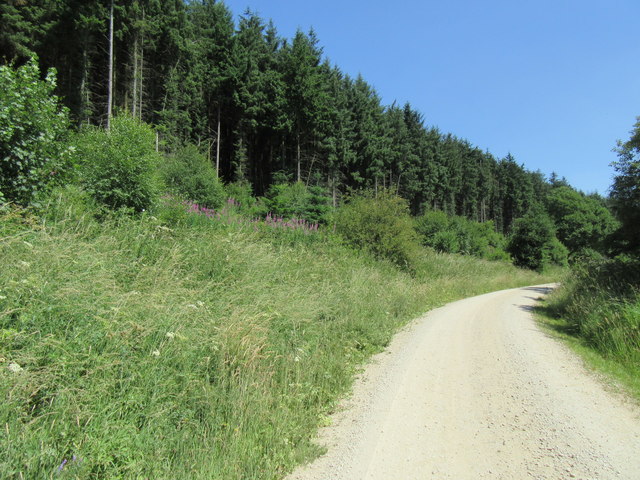
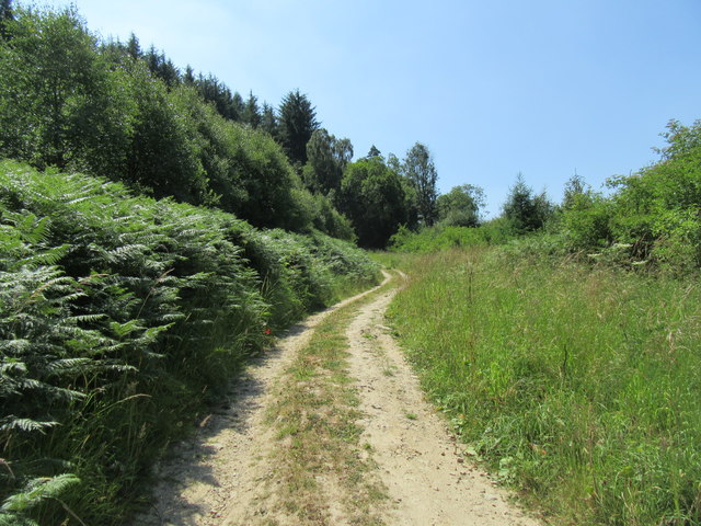
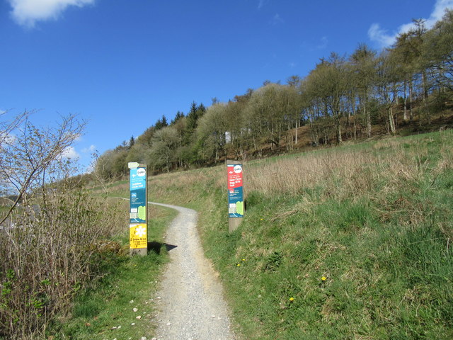
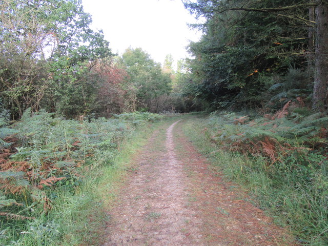
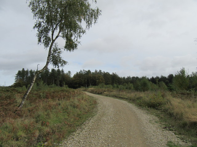
Flax Dale offers a plethora of outdoor activities for visitors to enjoy. Hiking and walking trails crisscross the valley, providing opportunities to explore the stunning scenery and enjoy breathtaking views from various vantage points. The valley is also intersected by a meandering river, offering fishing enthusiasts a chance to cast their lines and try their luck.
In addition to its natural attractions, Flax Dale boasts a rich history and cultural heritage. The valley is dotted with charming villages that showcase traditional Yorkshire architecture and offer a glimpse into the region's past. Local pubs and tea rooms provide a warm and welcoming atmosphere, serving up traditional Yorkshire fare and ales to satisfy hungry and thirsty travelers.
Overall, Flax Dale is a hidden gem in Yorkshire, offering a blend of natural beauty, outdoor activities, and cultural experiences. It is a must-visit destination for those seeking a tranquil retreat in the heart of the English countryside.
If you have any feedback on the listing, please let us know in the comments section below.
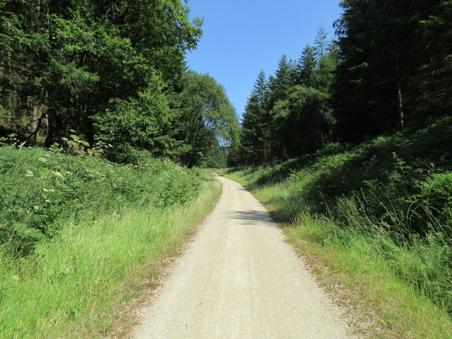
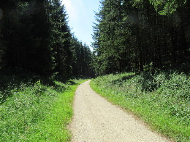
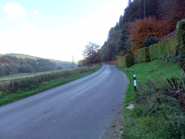
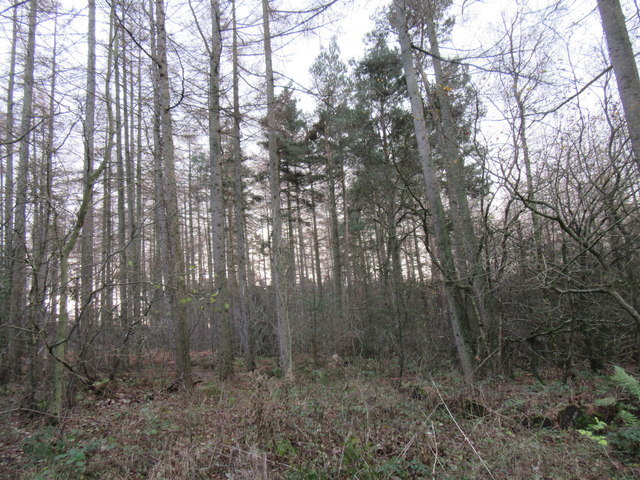
Flax Dale Images
Images are sourced within 2km of 54.264913/-0.67754349 or Grid Reference SE8686. Thanks to Geograph Open Source API. All images are credited.


Flax Dale is located at Grid Ref: SE8686 (Lat: 54.264913, Lng: -0.67754349)
Division: North Riding
Administrative County: North Yorkshire
District: Ryedale
Police Authority: North Yorkshire
What 3 Words
///offhand.recently.lecturing. Near Thornton Dale, North Yorkshire
Related Wikis

14–18 NOW
14–18 NOW was the UK's arts programme for the First World War centenary. Working with arts and heritage partners all across the UK, the programme commissioned...
Pexton Moor
Pexton Moor is an archaeological site in North Yorkshire containing a prehistoric cemetery. It is located at the western edge of Dalby Forest, north of...

Dalby Forest
Dalby Forest is a forest located on the southern slopes of the North York Moors National Park in North Yorkshire, England. It is maintained by Forestry...
Ellerburn
Ellerburn is a village in the Ryedale district of North Yorkshire, England, situated near Thornton-le-Dale, about 3 miles (4.8 km) east of Pickering....
Have you been to Flax Dale?
Leave your review of Flax Dale below (or comments, questions and feedback).