Broadmoor Bottom

Valley in Berkshire

England

Broadmoor Bottom

Lower Star Posts, Nr Crowthorne, Berks A large forested sandy area. The picture was taken near the start of an orienteering event, and shows a runner proceeding along one of the many large forest tracks in the area. The forest is mainly of mature coniferous trees. The area is used for timber extraction and as a military training area. A substantial fence separates the military area (to the south) from the rest of the forest - this fence can be seen on the right.
Lower Star Posts, Nr Crowthorne, Berks Credit: Pete Chapman

Broadmoor Bottom, Berkshire (Valley) is a charming and picturesque area located in the county of Berkshire, England. Situated in the southern part of the county, this valley is nestled between two low-lying hills, providing a serene and idyllic setting for residents and visitors alike.

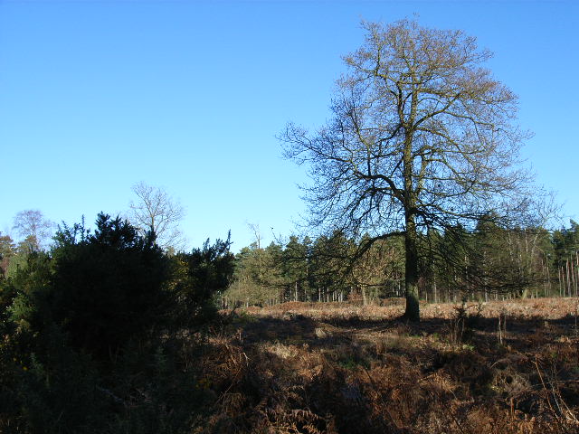
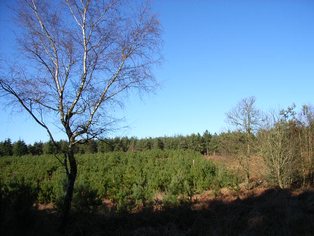
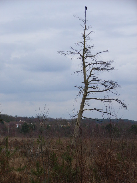
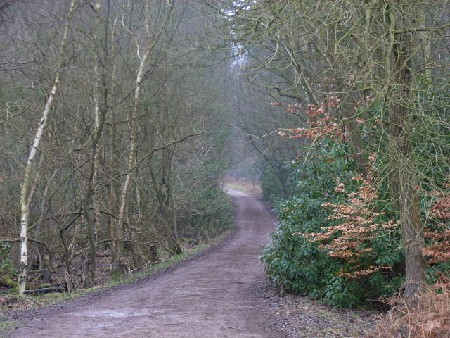
The landscape of Broadmoor Bottom is characterized by rolling green hills, dotted with lush forests and meandering streams. The valley is home to a diverse range of flora and fauna, making it a haven for nature enthusiasts and wildlife lovers. It is not uncommon to spot various bird species, small mammals, and even deer roaming freely in the area.

The valley is renowned for its tranquility and offers a peaceful retreat away from the hustle and bustle of nearby urban areas. It attracts visitors who seek solace in its natural beauty, whether for leisurely walks, picnics, or simply to enjoy the breathtaking views.

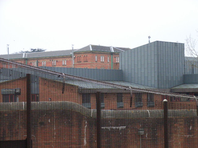
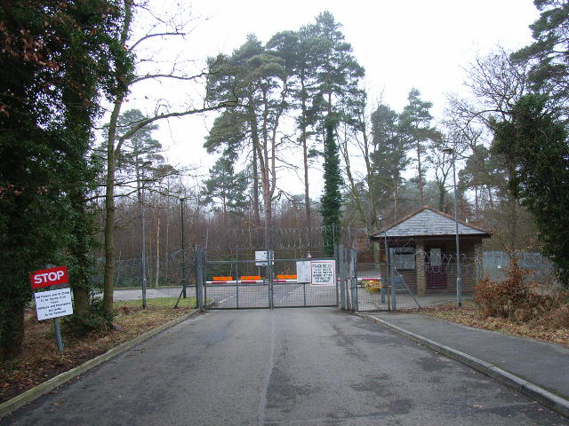
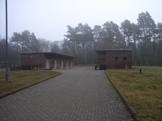
Broadmoor Bottom is also steeped in history, with several historical landmarks and sites of interest nearby. The valley is in close proximity to the iconic Broadmoor Hospital, a high-security psychiatric hospital that has been in operation since the mid-19th century.

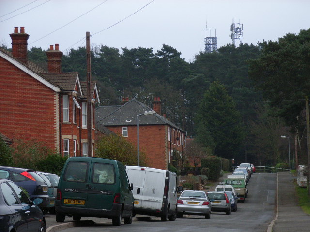
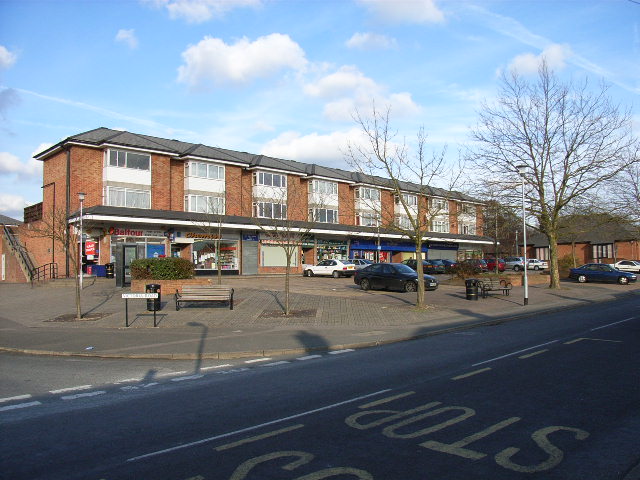
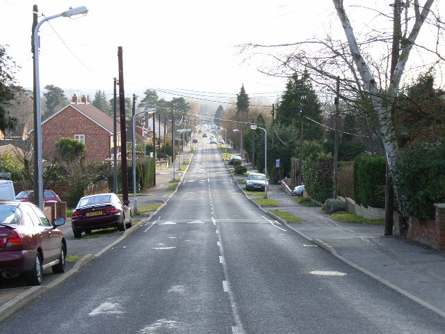
The surrounding area offers a range of amenities and facilities, including quaint country pubs, charming bed and breakfast establishments, and local farm shops that provide fresh produce. The nearby town of Crowthorne, with its shops, cafes, and schools, caters to the everyday needs of residents.

Overall, Broadmoor Bottom, Berkshire (Valley) is a hidden gem that combines natural beauty, historical significance, and a peaceful atmosphere, making it an ideal destination for those seeking a rural escape.

If you have any feedback on the listing, please let us know in the comments section below.

Broadmoor Bottom Images

Images are sourced within 2km of 51.35858/-0.76526454 or Grid Reference SU8662. Thanks to Geograph Open Source API. All images are credited.

Lower Star Posts, Nr Crowthorne, Berks A large forested sandy area. The picture was taken near the start of an orienteering event, and shows a runner proceeding along one of the many large forest tracks in the area. The forest is mainly of mature coniferous trees. The area is used for timber extraction and as a military training area. A substantial fence separates the military area (to the south) from the rest of the forest - this fence can be seen on the right.
Lower Star Posts, Nr Crowthorne, Berks
A large forested sandy area. The picture was taken near the start of an orienteering event, and shows a runner proceeding along one of the many large forest tracks in the area. The forest is mainly of mature coniferous trees. The area is used for timber extraction and as a military training area. A substantial fence separates the military area (to the south) from the rest of the forest - this fence can be seen on the right.
Lower Star Posts, Nr Crowthorne, Berks - Cleared area Another view of this forested area. The trees have been harvested and the area cleared of all except a few sparse broad leaved trees. bracken has become rampant. Picture taken during an orienteering event.
Lower Star Posts, Nr Crowthorne, Berks - Cleared area
Another view of this forested area. The trees have been harvested and the area cleared of all except a few sparse broad leaved trees. bracken has become rampant. Picture taken during an orienteering event.
Snaprails Park Snaprails Park, just to the west of Owlsmoor in Sandhurst.
Snaprails Park
Snaprails Park, just to the west of Owlsmoor in Sandhurst.
Cambridge Road, Crowthorne
Broadmoor Farm
Broadmoor Farm
Broadmoor Hospital The Vision of Britain map describes this is a criminal lunatic asylum. I think a secure hospital is today's terminology.
Broadmoor Hospital
The Vision of Britain map describes this is a criminal lunatic asylum. I think a secure hospital is today's terminology.
Lower Star Post, Swinley Forest Eleven tracks radiate from this point, giving a bewildering choice for travellers. A signpost is of some help. This is the view looking north. Windsor Ride is in the left half of the picture.
Lower Star Post, Swinley Forest
Eleven tracks radiate from this point, giving a bewildering choice for travellers. A signpost is of some help. This is the view looking north. Windsor Ride is in the left half of the picture.
Wickham Bushes, Swinley Forest A cleared area with a broad-leaved tree left to stand.
Wickham Bushes, Swinley Forest
A cleared area with a broad-leaved tree left to stand.
Area of young pine trees, Swinley Forest
Wildmoor Heath This is a BBOWT nature reserve <span class="nowrap"><a title="http://www.bbowt.org.uk/" rel="nofollow ugc noopener" href="http://www.bbowt.org.uk/">Link</a><img style="margin-left:2px;" alt="External link" title="External link - shift click to open in new window" src="https://s1.geograph.org.uk/img/external.png" width="10" height="10"/></span> consisting of heath and bog habitats. The western edge of Owlsmoor is behind.
Wildmoor Heath
This is a BBOWT nature reserve LinkExternal link consisting of heath and bog habitats. The western edge of Owlsmoor is behind.
Parade of shops, Owlsmoor Situated in Yeovil Road at the junction with Victoria Road.
Parade of shops, Owlsmoor
Situated in Yeovil Road at the junction with Victoria Road.
College Road, College Town Looking south down the road which runs in a perfectly straight line from one side of the grid-square to the other.
College Road, College Town
Looking south down the road which runs in a perfectly straight line from one side of the grid-square to the other.
Track at Wishton The track climbing away from Royal Military Acadaemy at Sandhurst. Security means that this was as far along the track as I could go.
Track at Wishton
The track climbing away from Royal Military Acadaemy at Sandhurst. Security means that this was as far along the track as I could go.
Windsor Ride Looking southwest towards the Military Academy. The fence marks the edge of the firing range.
Windsor Ride
Looking southwest towards the Military Academy. The fence marks the edge of the firing range.
Butterbottom Flagpole Flag, gate and fence marking the perimeter of the firing range. This grid-square is only just accessible here, in its northwest extremity, and also on its eastern side.
Butterbottom Flagpole
Flag, gate and fence marking the perimeter of the firing range. This grid-square is only just accessible here, in its northwest extremity, and also on its eastern side.
Track descending to Wishmoor Bottom The public have free access to this part of the heath. The grid-square is mostly a mix of heath and woodland, with some housing to the south.
Track descending to Wishmoor Bottom
The public have free access to this part of the heath. The grid-square is mostly a mix of heath and woodland, with some housing to the south.
The entrance to Sandhurst Military Academy, Dawnay Road The Military Academy occupies much of the square. This is as close as the general public can get due to the tight security.
The entrance to Sandhurst Military Academy, Dawnay Road
The Military Academy occupies much of the square. This is as close as the general public can get due to the tight security.
Ammunition Store, Windsor Ride
Show me another place!

Broadmoor Bottom is located at Grid Ref: SU8662 (Lat: 51.35858, Lng: -0.76526454)

Unitary Authority: Bracknell Forest

Police Authority: Thames Valley

What 3 Words

///sidelined.speeded.many. Near Sandhurst, Berkshire

Nearby Locations

Broadmoor Bottom

Related Wikis

Owlsmoor

Owlsmoor is a suburb of Sandhurst in Berkshire, England, and part of the civil parish of Sandhurst. The settlement lies near to the A3095 road, and is...

Sandhurst School

Sandhurst School is a coeducational secondary school and sixth form located in Sandhurst, Berkshire, England. The headteacher is Mr Gareth Croxon. ��2...

Broadmoor Hospital

Broadmoor Hospital is a high-security psychiatric hospital in Crowthorne, Berkshire, England. It is the oldest of England's three high-security psychiatric...

Barossa nature reserve

Barossa is a 498-hectare (1,230-acre) nature reserve north of Camberley in Surrey. It is owned by the Ministry of Defence and managed by the Surrey Wildlife...

Nearby Amenities

Located within 500m of 51.35858,-0.76526454
Turning Circle
Lat/Long: 51.3565913/-0.7714117
Power: tower
Lat/Long: 51.3584151/-0.7695434
Power: tower
Lat/Long: 51.3580741/-0.7645229
Power: tower
Lat/Long: 51.3578201/-0.7600138
The data included in this document is from www.openstreetmap.org. The data is made available under ODbL.

Have you been to Broadmoor Bottom?

Leave your review of Broadmoor Bottom below (or comments, questions and feedback).