Padswood Bottom

Valley in Sussex Chichester

England

Padswood Bottom

Fernbeds Lane Towards the Mardens.
Fernbeds Lane Credit: Robin Webster

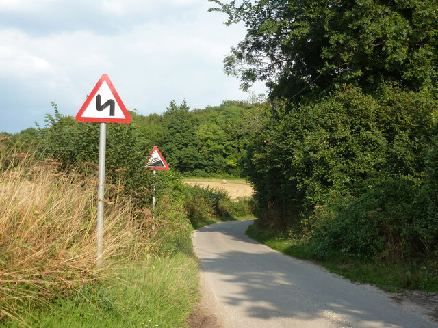
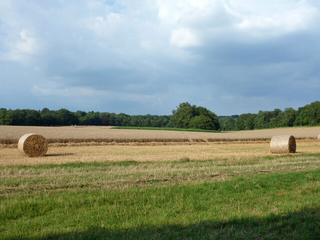
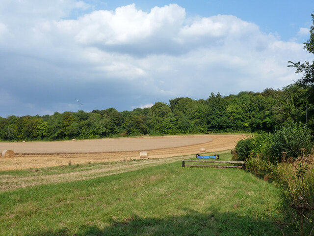
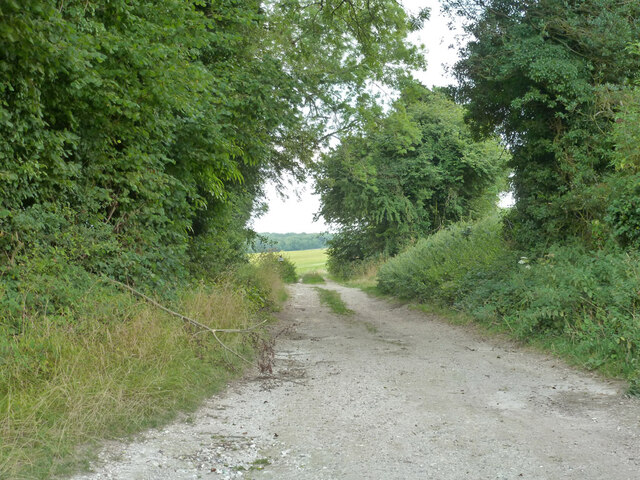
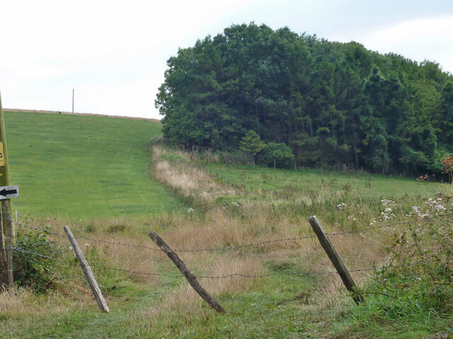
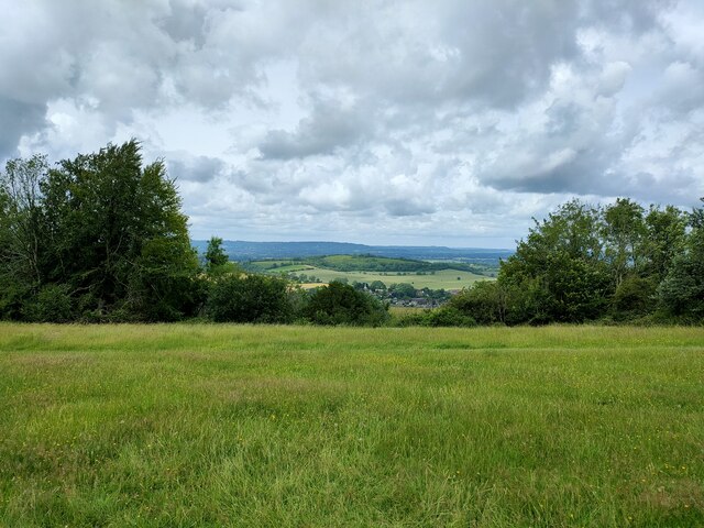
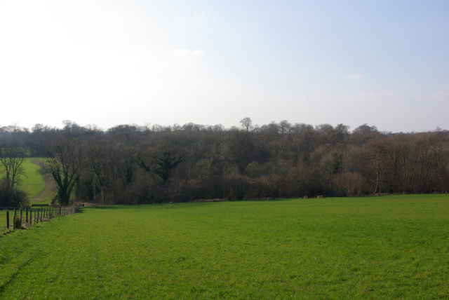
Padswood Bottom is a picturesque valley located in the county of Sussex, England. Situated in the South Downs National Park, it is renowned for its stunning natural beauty and tranquil atmosphere. The valley is surrounded by rolling hills and dense woodlands, creating a sense of seclusion and serenity that makes it a popular destination for nature enthusiasts and hikers.

At the heart of Padswood Bottom lies a charming stream that meanders through the valley, adding to its allure. The stream is lined with an abundance of wildflowers and various plant species, creating a vibrant and colorful landscape during the spring and summer months.

The valley is also home to a diverse range of wildlife, including deer, foxes, badgers, and a variety of bird species. Nature lovers often visit Padswood Bottom in the hope of catching a glimpse of these creatures in their natural habitat.

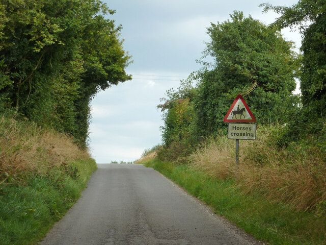
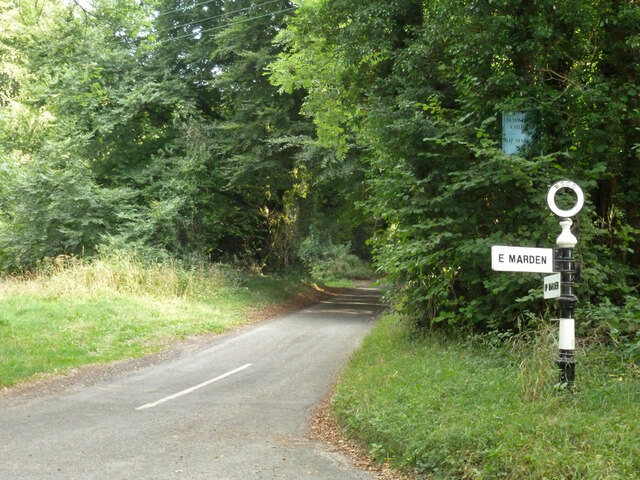
Visitors to Padswood Bottom can enjoy several walking trails that wind through the valley, offering breathtaking views of the surrounding countryside. These trails cater to all levels of fitness, from leisurely strolls to more challenging hikes.

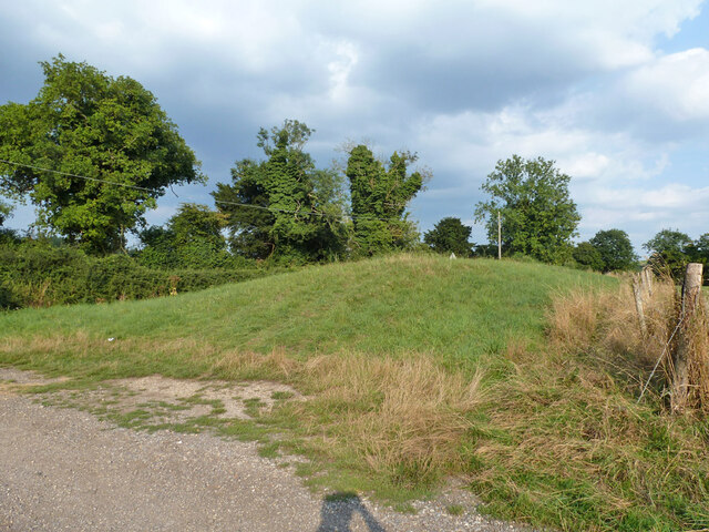
In addition to its natural beauty, Padswood Bottom is also rich in history. There are remnants of ancient settlements and archaeological sites scattered throughout the valley, providing insight into the area's past.

Overall, Padswood Bottom is a hidden gem in Sussex, offering a tranquil escape from the hustle and bustle of everyday life. Its stunning scenery, diverse wildlife, and rich history make it a must-visit destination for nature lovers and history enthusiasts alike.

If you have any feedback on the listing, please let us know in the comments section below.

Padswood Bottom Images

Images are sourced within 2km of 50.945819/-0.8757741 or Grid Reference SU7916. Thanks to Geograph Open Source API. All images are credited.

Fernbeds Lane Towards the Mardens.
Fernbeds Lane
Towards the Mardens.
Partly harvested field North of Fernbeds Lane.
Partly harvested field
North of Fernbeds Lane.
Partly harvested field There is a jumping track around the edge.
Partly harvested field
There is a jumping track around the edge.
Bevis's Thumb A Neolithic (3000 - 2400 BC) long barrow. A scheduled ancient monument.
Bevis's Thumb
A Neolithic (3000 - 2400 BC) long barrow. A scheduled ancient monument.
Bridleway 3008 Towards Harting Downs.
Bridleway 3008
Towards Harting Downs.
Warning on Fernbeds Lane
Wood, Apple Down A late wood, appearing on maps 1960s-70s.
Wood, Apple Down
A late wood, appearing on maps 1960s-70s.
Lane to Up Marden Almost hidden, a sign talks about the church.
Lane to Up Marden
Almost hidden, a sign talks about the church.
Uppark House The view of the National Trust owned Uppark House.
Uppark House
The view of the National Trust owned Uppark House.
Uppark Cafe The view at the National Trust owned Uppark House.
Uppark Cafe
The view at the National Trust owned Uppark House.
Uppark: steps to the sundial
Uppark: waiting for a performance (which was Peter Rabbit & Benjamin Bunny)
Uppark: waiting for a performance
(which was Peter Rabbit & Benjamin Bunny)
Uppark: at twilight
Uppark: at twilight
Uppark: back after 33 years Nice to see it again after all this time!
Uppark: back after 33 years
Nice to see it again after all this time!
Uppark House Uppark is a fine country house dating from about 1689. It got its somewhat unusual name in order to distinguish it  from Down Park in the same Parish, which has long since vanished.
Built originally for Ford Lord Grey of Warke who was created Earl of Tankerville in 1701 it was sold to the  Fetherstonhaugh family in 1747 who remained its owners until it was given to the National Trust.
During restoration work on the roof in 1989 which was nearing completion, heat from an oxy-acetylene torch being used to seal the lead caused the 300 year old timbers in the roof to catch fire. The fire spread disastrously despite up to 27 fire appliances attempting to control the blaze. The damage was such that demolition was a serious option, but the outside fabric of the building was remarkably intact and most of the precious items in the lower floors had been saved by staff, volunteers and firefighters. The upper floors were completely gutted and sadly the donor family who lived in that part of the house, lost many of their possessions.
The decision was made to renovate the building completely and restore the ground floor rooms to their pre-fire status. This was all managed by 1995 when the house reopened. Today, apart from some scorched and charred wooden floor panels, you would not be able to tell there had ever been a fire as you tour the house; a great feat of restoration by the Trust and the skilled craftsmen and women they employed.  
Uppark Visitor Information (NT) <span class="nowrap"><a title="http://www.nationaltrust.org.uk/uppark" rel="nofollow ugc noopener" href="http://www.nationaltrust.org.uk/uppark">Link</a><img style="margin-left:2px;" alt="External link" title="External link - shift click to open in new window" src="https://s1.geograph.org.uk/img/external.png" width="10" height="10"/></span>
English Heritage Listings:
The House (Grade I) <span class="nowrap"><a title="http://list.english-heritage.org.uk/resultsingle.aspx?uid=1025979&searchtype=mapsearch" rel="nofollow ugc noopener" href="http://list.english-heritage.org.uk/resultsingle.aspx?uid=1025979&searchtype=mapsearch">Link</a><img style="margin-left:2px;" alt="External link" title="External link - shift click to open in new window" src="https://s1.geograph.org.uk/img/external.png" width="10" height="10"/></span>
Old Laundry and Kitchen Block (Grade I) <span class="nowrap"><a title="http://list.english-heritage.org.uk/resultsingle.aspx?uid=1232940&searchtype=mapsearch" rel="nofollow ugc noopener" href="http://list.english-heritage.org.uk/resultsingle.aspx?uid=1232940&searchtype=mapsearch">Link</a><img style="margin-left:2px;" alt="External link" title="External link - shift click to open in new window" src="https://s1.geograph.org.uk/img/external.png" width="10" height="10"/></span>
Stable Block (Grade I) <span class="nowrap"><a title="http://list.english-heritage.org.uk/resultsingle.aspx?uid=1276851&searchtype=mapsearch" rel="nofollow ugc noopener" href="http://list.english-heritage.org.uk/resultsingle.aspx?uid=1276851&searchtype=mapsearch">Link</a><img style="margin-left:2px;" alt="External link" title="External link - shift click to open in new window" src="https://s1.geograph.org.uk/img/external.png" width="10" height="10"/></span>
Dairy (Grade II) <span class="nowrap"><a title="http://list.english-heritage.org.uk/resultsingle.aspx?uid=1025980&searchtype=mapsearch" rel="nofollow ugc noopener" href="http://list.english-heritage.org.uk/resultsingle.aspx?uid=1025980&searchtype=mapsearch">Link</a><img style="margin-left:2px;" alt="External link" title="External link - shift click to open in new window" src="https://s1.geograph.org.uk/img/external.png" width="10" height="10"/></span>
Game Larder (Grade II) <span class="nowrap"><a title="http://list.english-heritage.org.uk/resultsingle.aspx?uid=1354701&searchtype=mapsearch" rel="nofollow ugc noopener" href="http://list.english-heritage.org.uk/resultsingle.aspx?uid=1354701&searchtype=mapsearch">Link</a><img style="margin-left:2px;" alt="External link" title="External link - shift click to open in new window" src="https://s1.geograph.org.uk/img/external.png" width="10" height="10"/></span>
Gothic Garden Seat (Grade II) <span class="nowrap"><a title="http://list.english-heritage.org.uk/resultsingle.aspx?uid=1233245&searchtype=mapsearch" rel="nofollow ugc noopener" href="http://list.english-heritage.org.uk/resultsingle.aspx?uid=1233245&searchtype=mapsearch">Link</a><img style="margin-left:2px;" alt="External link" title="External link - shift click to open in new window" src="https://s1.geograph.org.uk/img/external.png" width="10" height="10"/></span>
Entrance Gates (Grade II) <span class="nowrap"><a title="http://list.english-heritage.org.uk/resultsingle.aspx?uid=1354702&searchtype=mapsearch" rel="nofollow ugc noopener" href="http://list.english-heritage.org.uk/resultsingle.aspx?uid=1354702&searchtype=mapsearch">Link</a><img style="margin-left:2px;" alt="External link" title="External link - shift click to open in new window" src="https://s1.geograph.org.uk/img/external.png" width="10" height="10"/></span>
Uppark House
Uppark is a fine country house dating from about 1689. It got its somewhat unusual name in order to distinguish it from Down Park in the same Parish, which has long since vanished. Built originally for Ford Lord Grey of Warke who was created Earl of Tankerville in 1701 it was sold to the Fetherstonhaugh family in 1747 who remained its owners until it was given to the National Trust. During restoration work on the roof in 1989 which was nearing completion, heat from an oxy-acetylene torch being used to seal the lead caused the 300 year old timbers in the roof to catch fire. The fire spread disastrously despite up to 27 fire appliances attempting to control the blaze. The damage was such that demolition was a serious option, but the outside fabric of the building was remarkably intact and most of the precious items in the lower floors had been saved by staff, volunteers and firefighters. The upper floors were completely gutted and sadly the donor family who lived in that part of the house, lost many of their possessions. The decision was made to renovate the building completely and restore the ground floor rooms to their pre-fire status. This was all managed by 1995 when the house reopened. Today, apart from some scorched and charred wooden floor panels, you would not be able to tell there had ever been a fire as you tour the house; a great feat of restoration by the Trust and the skilled craftsmen and women they employed. Uppark Visitor Information (NT) LinkExternal link English Heritage Listings: The House (Grade I) LinkExternal link Old Laundry and Kitchen Block (Grade I) LinkExternal link Stable Block (Grade I) LinkExternal link Dairy (Grade II) LinkExternal link Game Larder (Grade II) LinkExternal link Gothic Garden Seat (Grade II) LinkExternal link Entrance Gates (Grade II) LinkExternal link
Harting Down
Harting Down
Uppark restored The house restored to its former glory following the devastating fire.
Uppark restored
The house restored to its former glory following the devastating fire.
Uppark House One of the National Trust's properties within the South Downs National Park. The mother of H G Wells worked here 'below stairs'.
Uppark House
One of the National Trust's properties within the South Downs National Park. The mother of H G Wells worked here 'below stairs'.
Show me another place!

Padswood Bottom is located at Grid Ref: SU7916 (Lat: 50.945819, Lng: -0.8757741)

Administrative County: West Sussex

District: Chichester

Police Authority: Sussex

What 3 Words

///dashes.feast.vacancies. Near South Harting, West Sussex

Related Wikis

Pads Wood

Pads Wood is a 22.2-hectare (55-acre) biological Site of Special Scientific Interest west of Midhurst in West Sussex.This ancient coppiced wood is mainly...
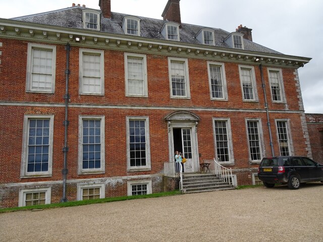
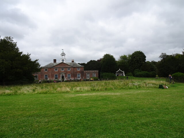
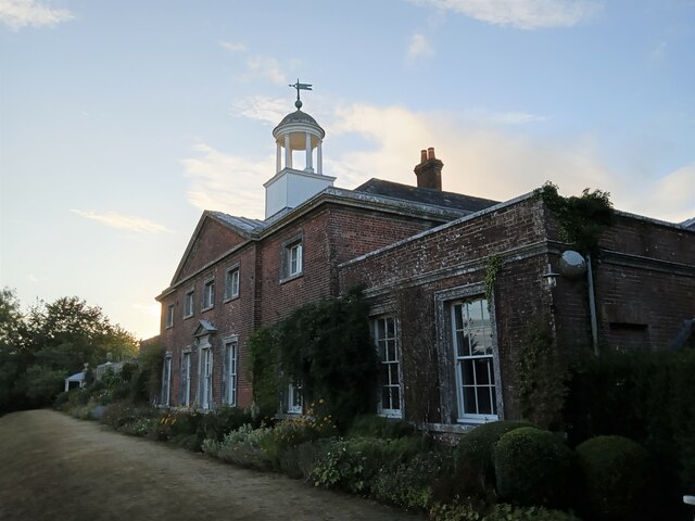
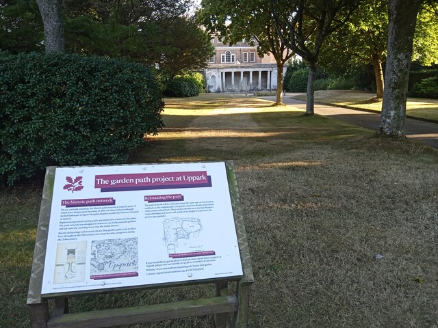
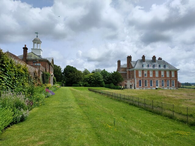
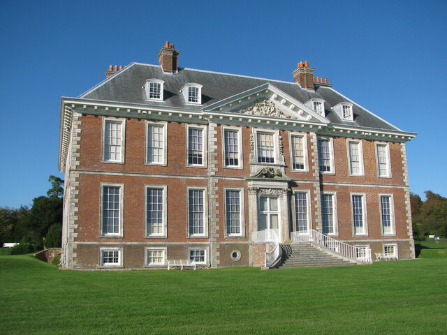
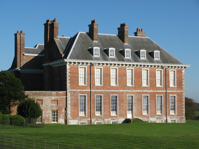
Uppark

Uppark is a 17th-century house in South Harting, West Sussex, England. It is a Grade I listed building and a National Trust property. == History == The...

Harting Downs

Harting Downs is a 336.3-hectare (831-acre) biological Site of Special Scientific Interest west of Midhurst in West Sussex. It is a Nature Conservation...
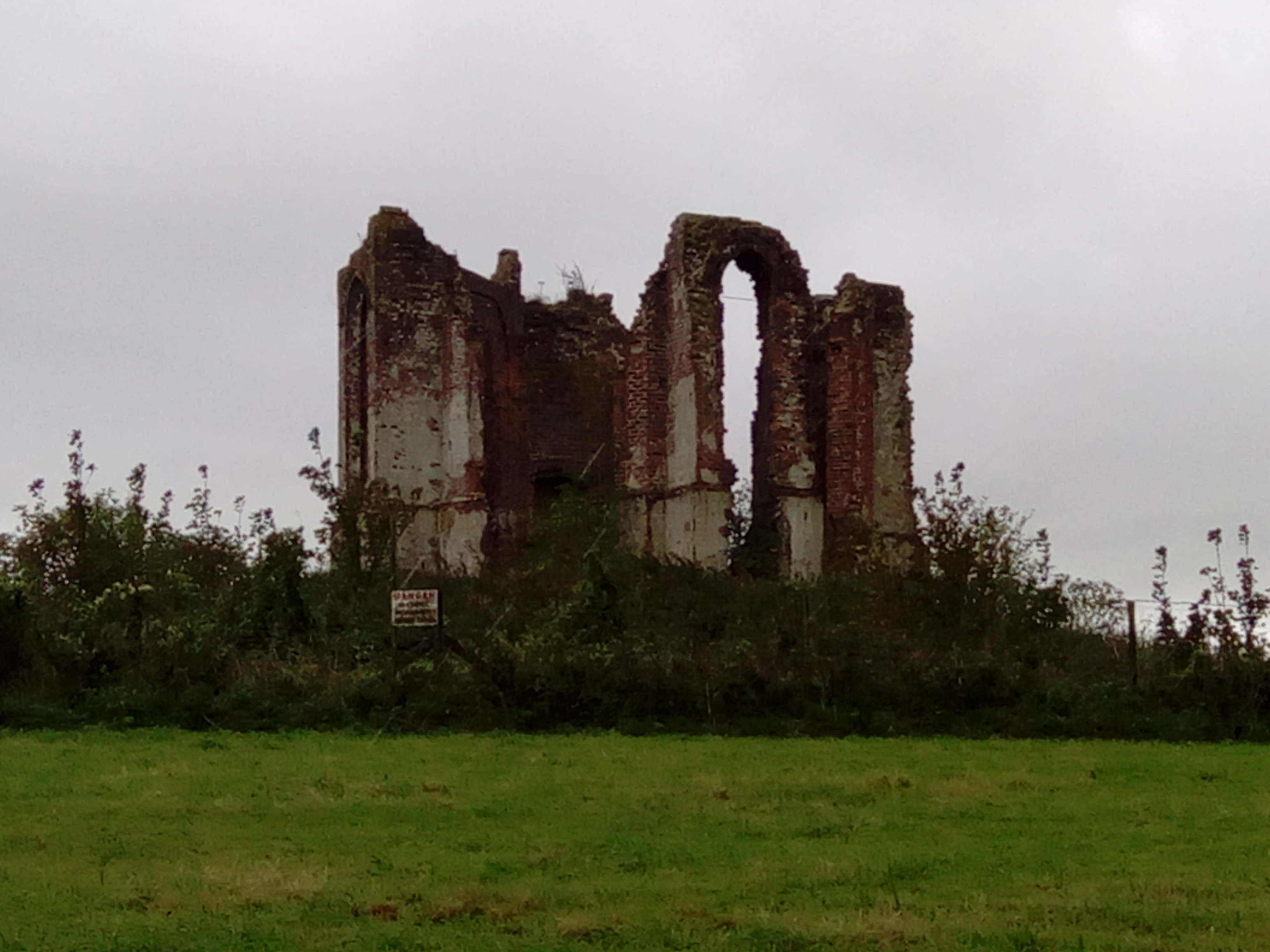
Vandalian Tower

The Vandalian Tower at Harting, West Sussex, England, is an 18th-century folly, built to commemorate the British colony of Vandalia, a short-lived colony...

North Marden

North Marden is a tiny village and former civil parish, now in the parish of Marden, in the Chichester district of West Sussex, England. It is 7.5 miles...

Beacon Hill, West Sussex

Beacon Hill, also known as Harting Beacon, is a hillfort on the South Downs, in the county of West Sussex in southern England. The hillfort is located...

Marden, West Sussex

Marden is a civil parish in the Chichester district of West Sussex, England. It lies on the South Downs and comprises the villages of North Marden and...

Compton, West Sussex

Compton is a village and civil parish in the Chichester district of West Sussex. The village lies on the B2146 road, six miles (9.7 km) southeast of Petersfield...

Nearby Amenities

Located within 500m of 50.945819,-0.8757741
Sixteen Acre Plain
Place: locality
Lat/Long: 50.9456795/-0.8825755
Belt Plain
Place: locality
Lat/Long: 50.948113/-0.8698511
Padswood
Place: locality
Lat/Long: 50.9463826/-0.8758378
The data included in this document is from www.openstreetmap.org. The data is made available under ODbL.

Have you been to Padswood Bottom?

Leave your review of Padswood Bottom below (or comments, questions and feedback).