Vale of Aylesbury
Valley in Buckinghamshire
England
Vale of Aylesbury

The Vale of Aylesbury, located in Buckinghamshire, England, is a picturesque valley known for its stunning natural beauty and rich cultural heritage. Situated at the foot of the Chiltern Hills, this valley stretches across a vast area, encompassing numerous charming towns and villages.
The main town within the Vale of Aylesbury is Aylesbury itself, which serves as the administrative center of the region. Aylesbury boasts a blend of historic architecture and modern amenities, with its bustling town center offering a wide range of shops, restaurants, and entertainment venues. The town is also home to Aylesbury Waterside Theatre, a renowned cultural hub that hosts various performances throughout the year.
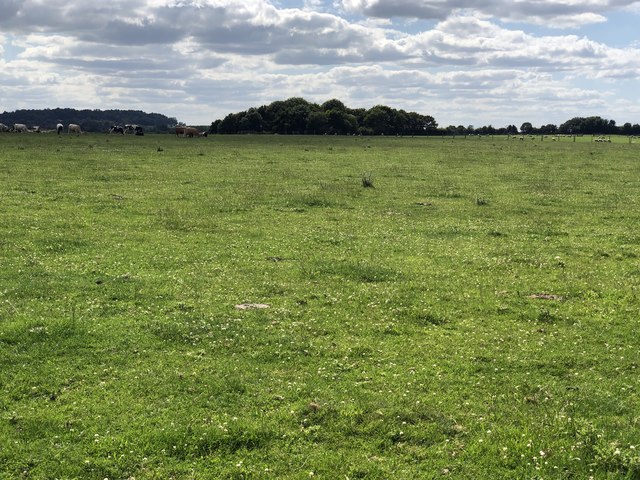
The valley is characterized by its rolling hills, lush green fields, and meandering rivers, creating a tranquil and idyllic countryside landscape. The region is known for its rich agricultural heritage, with farming playing a significant role in the local economy. The fertile soil and favorable climate make it an ideal location for cultivating crops and rearing livestock.
The Vale of Aylesbury is also home to several notable landmarks and attractions. Waddesdon Manor, a magnificent French Renaissance-style chateau, is a popular tourist spot, offering visitors an opportunity to explore its opulent interiors and extensive gardens. The Chiltern Hills, an Area of Outstanding Natural Beauty, provide ample opportunities for outdoor activities such as hiking, cycling, and wildlife spotting.
Overall, the Vale of Aylesbury is a charming and picturesque destination, offering a perfect blend of natural beauty, cultural heritage, and modern amenities. Whether exploring its historic towns, enjoying the tranquility of its countryside, or immersing oneself in its vibrant cultural scene, visitors are sure to find something to captivate them in this enchanting valley.
If you have any feedback on the listing, please let us know in the comments section below.
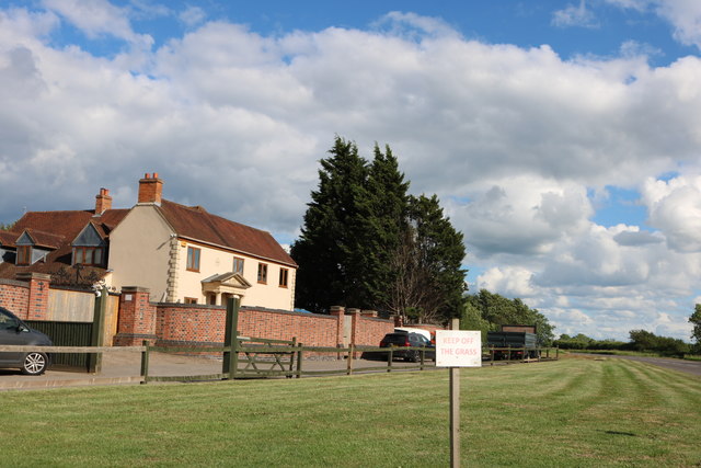
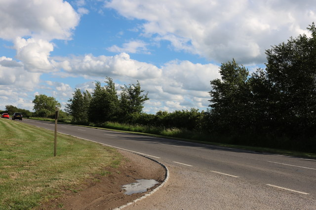
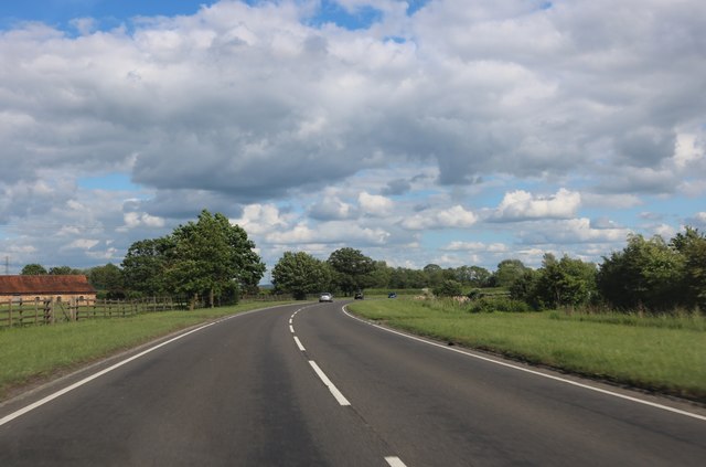
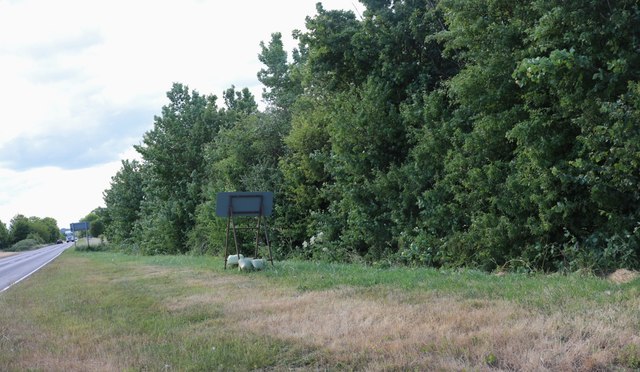
Vale of Aylesbury Images
Images are sourced within 2km of 51.85174/-0.86128866 or Grid Reference SP7817. Thanks to Geograph Open Source API. All images are credited.


Vale of Aylesbury is located at Grid Ref: SP7817 (Lat: 51.85174, Lng: -0.86128866)
Unitary Authority: Buckinghamshire
Police Authority: Thames Valley
What 3 Words
///napkins.nylon.tracking. Near Waddesdon, Buckinghamshire
Nearby Locations
Related Wikis

Berryfields
Berryfields is a Major Development Area (MDA) to the north-west of Aylesbury, Buckinghamshire, England. It is one of two new major housing projects in...

Fleet Marston
Fleet Marston is a civil parish and deserted medieval village in the Aylesbury Vale district of Buckinghamshire, England, about 2.5 miles (4 km) northwest...
St Mary's Church, Fleet Marston
St Mary's Church is the redundant Church of England parish church of the deserted medieval village of Fleet Marston, Buckinghamshire, England. It is recorded...

Aylesbury Vale Parkway railway station
Aylesbury Vale Parkway railway station is a railway station serving villages northwest of Aylesbury, England. It also serves the Berryfields and Weedon...

Hardwick, Buckinghamshire
Hardwick is both a village and a civil parish within the Aylesbury Vale district in Buckinghamshire, England. It is in the Aylesbury Vale, about four...

Aylesbury Vale Dynamos F.C.
Aylesbury Vale Dynamos Football Club is a football club based in Aylesbury, Buckinghamshire, England. They are currently members of the Spartan South Midlands...
Bucks County Show
The Bucks County Show is an annual one-day agricultural show held in Buckinghamshire, England established in 1859. In recent years it has been held in...
List of local nature reserves in Buckinghamshire
Buckinghamshire is a ceremonial county in south-east England. Its county town is Aylesbury, and it is surrounded by Northamptonshire to the north, Bedfordshire...
Nearby Amenities
Located within 500m of 51.85174,-0.86128866Have you been to Vale of Aylesbury?
Leave your review of Vale of Aylesbury below (or comments, questions and feedback).