Vale of Belvoir
Valley in Nottinghamshire Rushcliffe
England
Vale of Belvoir

The Vale of Belvoir is a picturesque valley located in the county of Nottinghamshire, England. Situated in the East Midlands region, this stunning rural landscape is renowned for its natural beauty and historical significance. The name "Belvoir" is derived from the French words for "beautiful view," and it accurately describes the breathtaking scenery that can be found in this area.
Nestled between the towns of Grantham and Nottingham, the Vale of Belvoir stretches for approximately 30 miles, encompassing rolling hills, lush meadows, and charming villages. The valley is traversed by the River Devon, which adds to the overall beauty and tranquility of the area. The fertile land of the Vale has been used for agriculture for centuries, with fields of crops and grazing animals dotting the landscape.
One of the most notable features of the Vale of Belvoir is the imposing Belvoir Castle, which sits atop a hill overlooking the valley. This historic castle dates back to Norman times and has been the ancestral home of the Duke and Duchess of Rutland since the 1500s. The castle and its surrounding gardens are open to the public, offering visitors a glimpse into the region's rich heritage.
In addition to its natural and historical attractions, the Vale of Belvoir is also known for its traditional rural pursuits. The area is popular for outdoor activities such as walking, cycling, and horse riding, with numerous trails and bridleways winding through the countryside. The valley also has a vibrant farming community, with many local shops and markets selling fresh produce and artisanal goods.
Overall, the Vale of Belvoir is a captivating destination that combines stunning landscapes, historical landmarks, and a rural way of life. Whether exploring the picturesque villages or taking in the views from Belvoir Castle, visitors to this area are sure to be enchanted by its timeless charm.
If you have any feedback on the listing, please let us know in the comments section below.
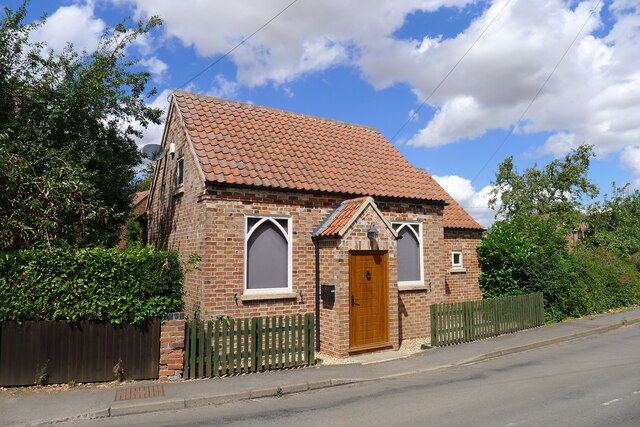
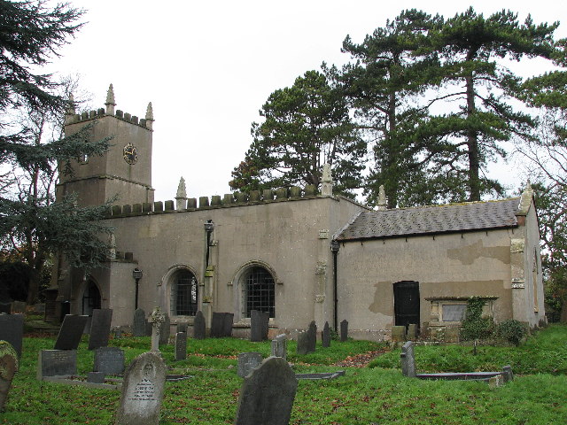
Vale of Belvoir Images
Images are sourced within 2km of 52.9224/-0.86050603 or Grid Reference SK7636. Thanks to Geograph Open Source API. All images are credited.


Vale of Belvoir is located at Grid Ref: SK7636 (Lat: 52.9224, Lng: -0.86050603)
Administrative County: Nottinghamshire
District: Rushcliffe
Police Authority: Nottinghamshire
What 3 Words
///coughed.guitars.harnessed. Near Aslockton, Nottinghamshire
Nearby Locations
Related Wikis

Vale of Belvoir
The Vale of Belvoir ( BEE-vər) covers adjacent areas of Leicestershire, Nottinghamshire and Lincolnshire, England. The name derives from the Norman-French...

Sutton-cum-Granby
Sutton-cum-Granby (also known as Sutton or Sutton in the Vale) is a hamlet in the Borough of Rushcliffe in Nottinghamshire, England. It lies in the Vale...
Redmile railway station
Redmile railway station served the villages of Redmile and Barkestone-le-Vale, Nottinghamshire and also Belvoir Castle. It was on the Great Northern and...
St Michael and All Angels' Church, Elton on the Hill
St Michael and All Angels' Church, Elton on the Hill is a parish church in the Church of England in Elton on the Hill, Nottinghamshire. It is Grade II...

Elton on the Hill
Elton on the Hill is a small Nottinghamshire village and civil parish in the Vale of Belvoir. The population of about 75 is included with the civil parish...

Church of St Peter and St Paul, Barkestone-le-Vale
The Church of St Peter and St Paul is a church in Barkestone-le-Vale, Leicestershire, England. It is a Grade II* listed building. == History == The church...

Plungar
Plungar is a village and former civil parish, now in the parish of Redmile, and the Melton district of Leicestershire, England. It is about 9 miles (14...

Barnstone railway station
Barnstone railway station was a railway station serving the villages of Barnstone, Granby and Langar, Nottinghamshire, on the Great Northern and London...
Have you been to Vale of Belvoir?
Leave your review of Vale of Belvoir below (or comments, questions and feedback).