Bix Bottom

Valley in Oxfordshire South Oxfordshire

England

Bix Bottom

Hidden by the road View along the A4130 where over to the right is a milestone off the road.
Hidden by the road Credit: Bill Nicholls

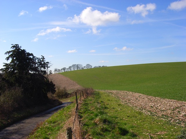
Bix Bottom is a picturesque valley located in the county of Oxfordshire, England. Nestled in the Chiltern Hills, it is surrounded by stunning natural beauty. The valley is named after the nearby village of Bix, which sits at the top of the hill overlooking the tranquil landscape.

Known for its idyllic setting, Bix Bottom offers a peaceful retreat away from the hustle and bustle of city life. The valley is characterized by rolling green hills, lush meadows, and dense woodlands, making it a haven for nature lovers and outdoor enthusiasts. The area is abundant in wildlife, with various species of birds, mammals, and wildflowers calling it home.

Bix Bottom is also renowned for its network of footpaths and bridleways, providing ample opportunities for walking, hiking, and horse riding. The trails meander through the valley, offering breathtaking views of the surrounding countryside. Visitors can explore the picturesque countryside, discovering hidden gems along the way, such as ancient woodlands, babbling brooks, and charming cottages.

The valley is also rich in history, with evidence of human habitation dating back thousands of years. Archaeological sites and remnants of ancient settlements have been discovered, adding to the mystique and allure of Bix Bottom.

Whether it's taking a leisurely stroll, enjoying a picnic in the meadows, or simply immersing oneself in the tranquility of nature, Bix Bottom offers a serene and enchanting experience for all who visit.

If you have any feedback on the listing, please let us know in the comments section below.
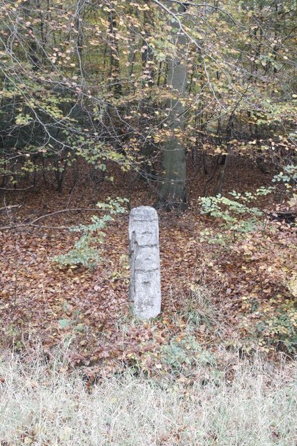
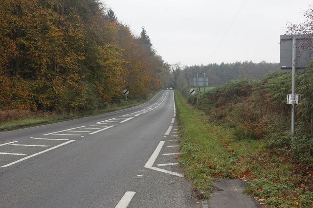
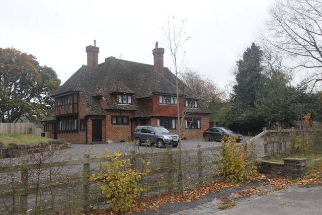
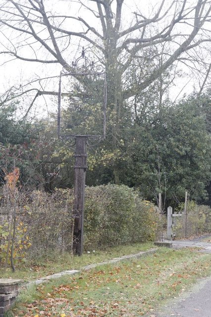
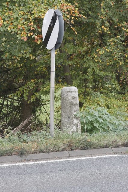
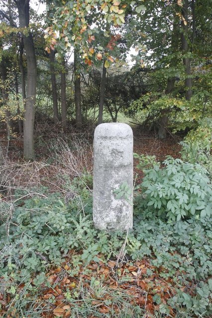
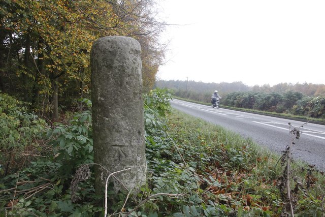
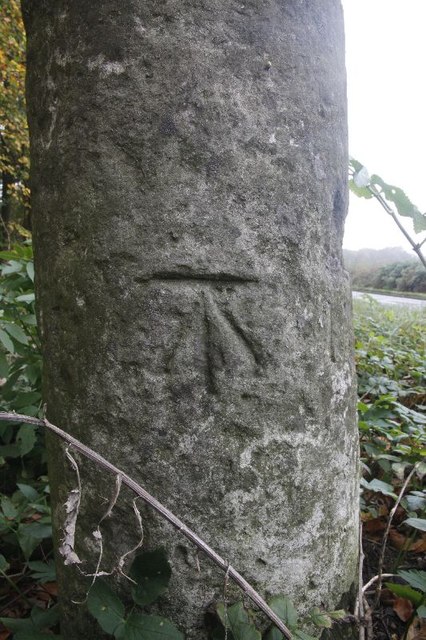
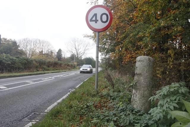
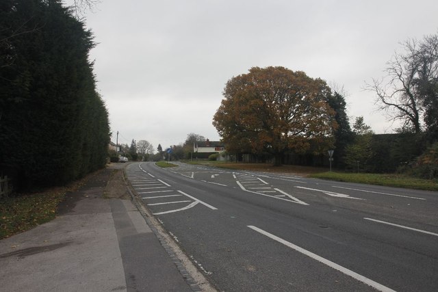
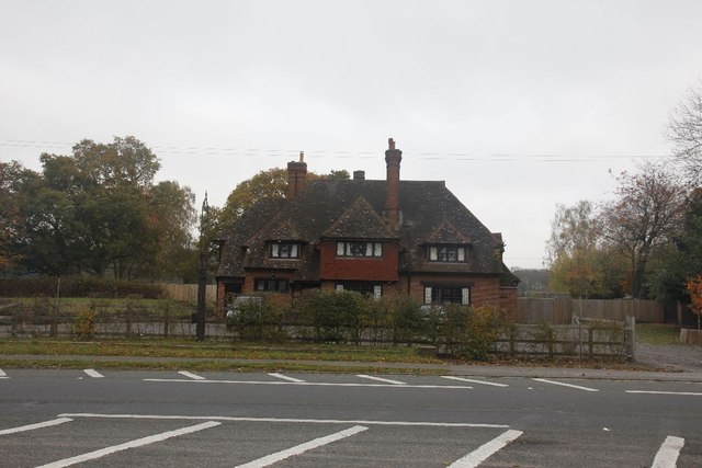
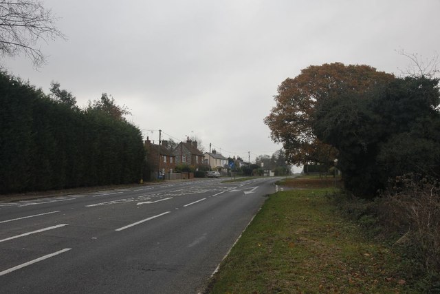
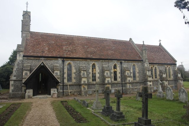
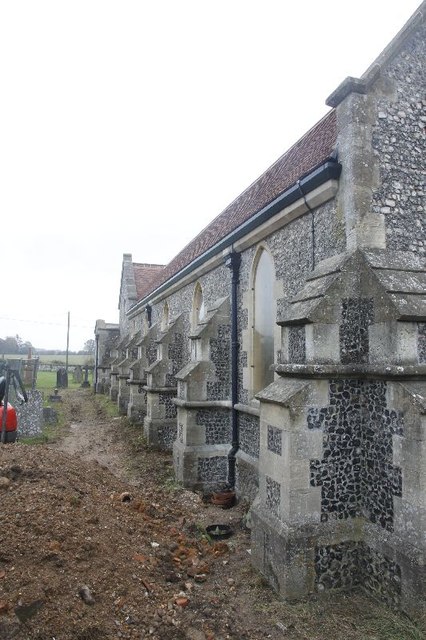
Bix Bottom Images

Images are sourced within 2km of 51.575999/-0.95229401 or Grid Reference SU7286. Thanks to Geograph Open Source API. All images are credited.

Hidden by the road View along the A4130 where over to the right is a milestone off the road.
Hidden by the road
View along the A4130 where over to the right is a milestone off the road.
Milestone off the road This was a hard one to spot as it is  below the road level. It looks eroded where the places and miles should be but the reason for this was because they were removed in World War two. It should say Henley 4, London 39 and Oxford 19.
Milestone off the road
This was a hard one to spot as it is below the road level. It looks eroded where the places and miles should be but the reason for this was because they were removed in World War two. It should say Henley 4, London 39 and Oxford 19.
Back of the Milestone View of back of the milestone in Nettlebed wood showing that the road has been raised over the years to the level it is now. A benchmark can be seen in the photo as well.
Back of the Milestone
View of back of the milestone in Nettlebed wood showing that the road has been raised over the years to the level it is now. A benchmark can be seen in the photo as well.
Nettlebed wood Benchmark Close up of the benchmark on the milestone in Nettlebed wood. <a href="https://www.geograph.org.uk/photo/2687214">SU7186 : Back of the Milestone</a> <a href="https://www.geograph.org.uk/photo/2687036">SU7186 : Milestone off the road</a>
Nettlebed wood Benchmark
Close up of the benchmark on the milestone in Nettlebed wood. SU7186 : Back of the Milestone SU7186 : Milestone off the road
Towards Henley The A 4130 towards Henley from near the Nettlebed wood milestone.
Towards Henley
The A 4130 towards Henley from near the Nettlebed wood milestone.
Another milestone Looking along the A4130 at Bix in the Nettlebed direction. I'm here for another milestone which is just over beside the National speed limits apply sign to the left.
Another milestone
Looking along the A4130 at Bix in the Nettlebed direction. I'm here for another milestone which is just over beside the National speed limits apply sign to the left.
The Fox at Bix This used to be the Fox Public house; though I never have been in the place it always looked popular when I went past.  It shut many years ago as can be seen in the link. <a href="https://www.geograph.org.uk/photo/36346">SU7285 : The Fox at Bix</a>
The Fox at Bix
This used to be the Fox Public house; though I never have been in the place it always looked popular when I went past. It shut many years ago as can be seen in the link. SU7285 : The Fox at Bix
Empty Pub Sign Always sad to see an empty pub sign, this used to hold the Fox at Bix but alas it will no more.
Empty Pub Sign
Always sad to see an empty pub sign, this used to hold the Fox at Bix but alas it will no more.
Milestone by the limit Another of the London Road Milestones which is just outside Bix village near Henley.  This one is another that was defaced of its mileage and towns during the Second World War.  It would have had Oxford 20, Abingdon 18, London 38, Henley 3 on it.
Milestone by the limit
Another of the London Road Milestones which is just outside Bix village near Henley. This one is another that was defaced of its mileage and towns during the Second World War. It would have had Oxford 20, Abingdon 18, London 38, Henley 3 on it.
Milestone at Bix The milestone at Bix near Henley which would have had Oxford 20, Abingdon 18, London 38, Henley 3 carved in it but was defaced during the Second World War.
Milestone at Bix
The milestone at Bix near Henley which would have had Oxford 20, Abingdon 18, London 38, Henley 3 carved in it but was defaced during the Second World War.
Motorbiking View of the Bix milestone looking in the Nettlebed direction with a motorbike making its way along the A4130.  You can see a benchmark on the base.
Motorbiking
View of the Bix milestone looking in the Nettlebed direction with a motorbike making its way along the A4130. You can see a benchmark on the base.
Close up of the Bix Milestone Closeup of the Bix benchmark on the milestone. <a href="https://www.geograph.org.uk/photo/2687326">SU7285 : Motorbiking</a>
Close up of the Bix Milestone
Closeup of the Bix benchmark on the milestone. SU7285 : Motorbiking
Looking towards Bix View from the milestone at Bix towards the village.
Looking towards Bix
View from the milestone at Bix towards the village.
Junction on the end View across the A4130 towards a road junction just on the end of the dual carriageway up Bix Hill.
Junction on the end
View across the A4130 towards a road junction just on the end of the dual carriageway up Bix Hill.
Another view of the Fox Another view of the Fox public house which I think closed back in the 1990's.
Another view of the Fox
Another view of the Fox public house which I think closed back in the 1990's.
End of the carriageway View towards the end of the dual carriageway on Bix Hill
End of the carriageway
View towards the end of the dual carriageway on Bix Hill
St James View of St James at Bix, which is a new church, as the old one is a ruin near Bix Bottom.
St James
View of St James at Bix, which is a new church, as the old one is a ruin near Bix Bottom.
North side of St James View of the north side of St James in Bix which at the moment looks to be having some work done.
North side of St James
View of the north side of St James in Bix which at the moment looks to be having some work done.
Show me another place!

Bix Bottom is located at Grid Ref: SU7286 (Lat: 51.575999, Lng: -0.95229401)

Administrative County: Oxfordshire

District: South Oxfordshire

Police Authority: Thames Valley

What 3 Words

///wasps.icicles.flopped. Near Remenham, Berkshire

Related Wikis

Maidensgrove

Maidensgrove is a hamlet above the Stonor valley in the Chiltern Hills, adjacent to Russell's Water common. It is about 5 miles (8.0 km) northwest of...

Bix Bottom

Bix Bottom is a 102.3-hectare (253-acre) biological Site of Special Scientific Interest north-west of Henley-on-Thames in Oxfordshire. It is owned and...

Bix, Oxfordshire

Bix is a village in the civil parish of Bix and Assendon in South Oxfordshire, about 2.5 miles (4 km) northwest of Henley-on-Thames. The village is about...

Middle Assendon

Middle Assendon is a village in the Stonor valley in the Chiltern Hills. It is about 2 miles (3.2 km) northwest of Henley-on-Thames in South Oxfordshire...

Crocker End House

Crocker End House in Nettlebed in Henley-on-Thames, Oxfordshire, England is a spacious Victorian home built to replace Nettlebed's prosperous rectory in...

Bix and Assendon

Bix and Assendon, formerly just Bix is a mainly rural civil parish in the high Chilterns just north of Henley-on-Thames in South Oxfordshire, in the county...

Fawley Bottom

Fawley Bottom is a small village in south Buckinghamshire, England, north of Henley-on-Thames. It is in the civil parish of Fawley. The artist John Piper...

Lambridge Wood

Lambridge Wood is a 73.8-hectare (182-acre) biological Site of Special Scientific Interest north-west of Henley-on-Thames in Oxfordshire. It is in the...

Nearby Amenities

Located within 500m of 51.575999,-0.95229401
Barrier: kissing_gate
Bicycle: no
Foot: yes
Ref: in memory of Bryan Williams
Lat/Long: 51.5722759/-0.9529601
Bix Bottom
Place: locality
Lat/Long: 51.5754423/-0.9495434
Barrier: kissing_gate
Bicycle: no
Foot: yes
Lat/Long: 51.5729542/-0.9537174
Bench
Lat/Long: 51.5770187/-0.9530917
The data included in this document is from www.openstreetmap.org. The data is made available under ODbL.

Have you been to Bix Bottom?

Leave your review of Bix Bottom below (or comments, questions and feedback).