Libbery

Settlement in Worcestershire Wychavon

England

Libbery

Froxmere Court chimneys All the chimneys on Froxmere Court are different, showing beautiful brickwork.
Froxmere Court chimneys Credit: Liz Stone

Libbery is a small village located in the county of Worcestershire, England. Situated in the heart of the picturesque countryside, Libbery offers a tranquil and idyllic setting for its residents. The village is situated approximately 7 miles north of the bustling city of Worcester, providing easy access to amenities and services.

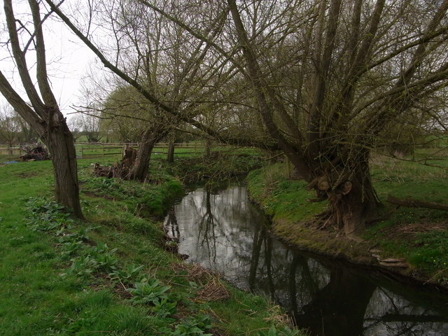
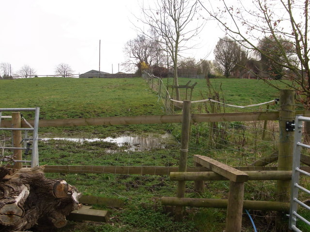
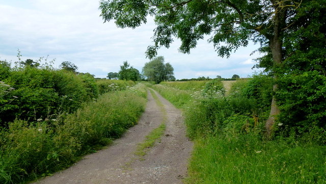
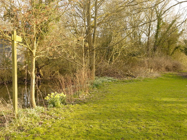
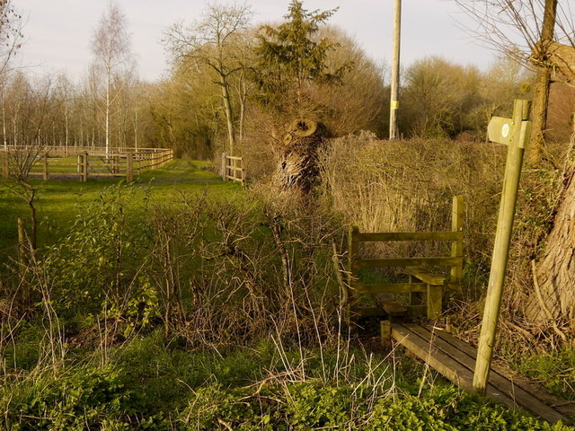
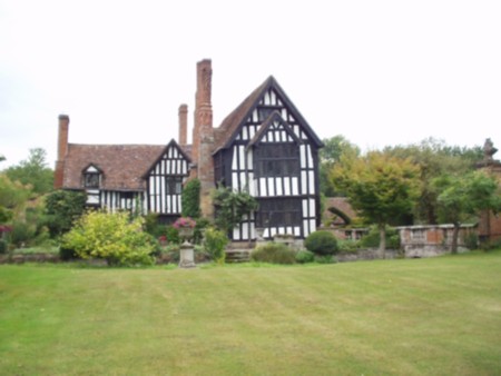
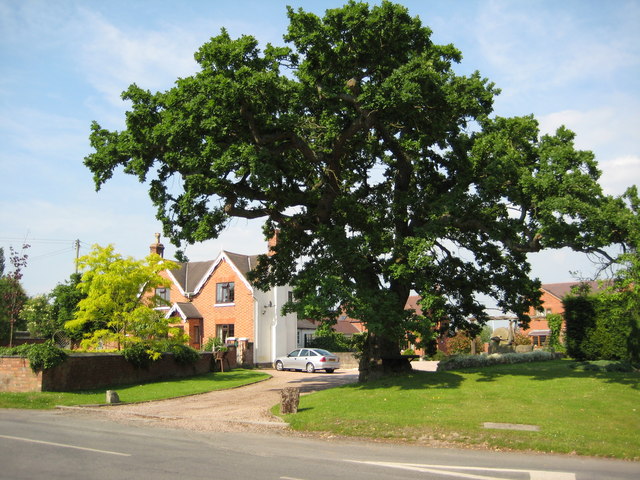
Libbery is known for its charming cottages and historic buildings, which give the village a traditional and timeless feel. The local community takes great pride in maintaining the village's character and preserving its heritage. The surrounding landscape is dominated by lush green fields, rolling hills, and meandering streams, offering scenic views and ample opportunities for outdoor activities such as hiking and cycling.

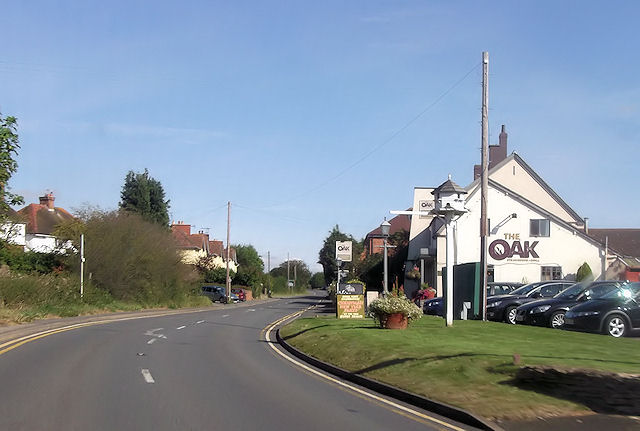
Despite its small size, Libbery boasts a close-knit community that actively engages in various social and cultural events throughout the year. The village hall serves as a central hub for community gatherings, hosting events such as fairs, exhibitions, and local theater productions. Additionally, Libbery has a local pub, The Red Lion, which serves as a meeting place for residents and visitors alike.

For those seeking a peaceful rural lifestyle, Libbery provides an ideal retreat. The village offers a range of housing options, from quaint cottages to modern family homes, catering to a diverse range of needs. The village is well-connected to neighboring towns and cities through a reliable public transportation system, making commuting convenient for residents who work or study elsewhere.

In summary, Libbery is a charming and picturesque village in Worcestershire, boasting a tight-knit community, stunning natural surroundings, and a rich history. It provides an ideal setting for those seeking a peaceful countryside lifestyle while still being within reach of urban amenities.

If you have any feedback on the listing, please let us know in the comments section below.
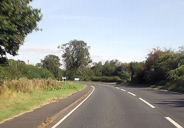
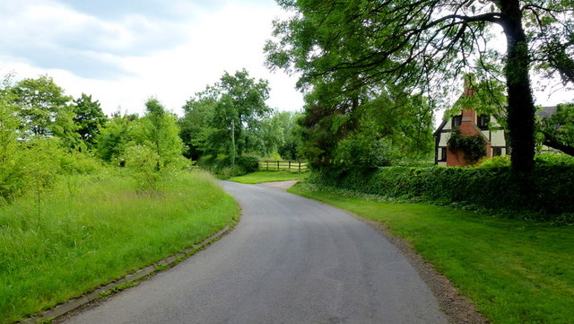
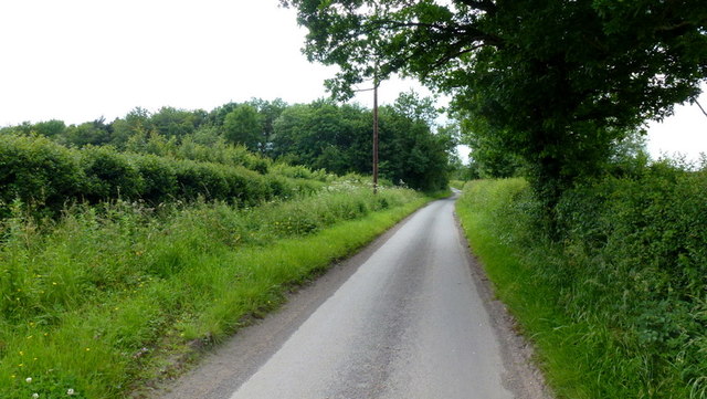
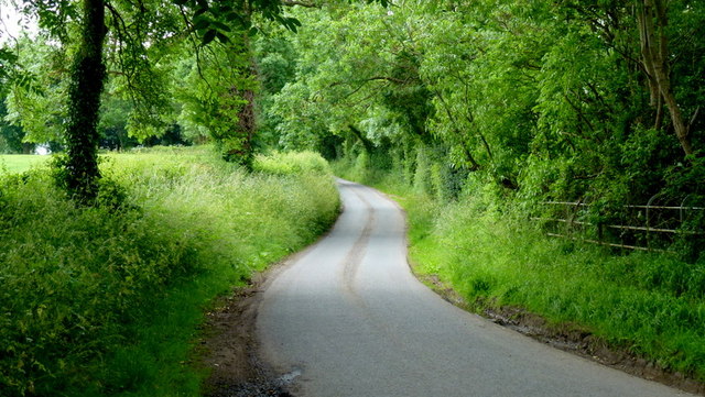
Libbery Images

Images are sourced within 2km of 52.194082/-2.068728 or Grid Reference SO9555. Thanks to Geograph Open Source API. All images are credited.

Froxmere Court chimneys All the chimneys on Froxmere Court are different, showing beautiful brickwork.
Froxmere Court chimneys
All the chimneys on Froxmere Court are different, showing beautiful brickwork.
Bow Brook below Court Farm Late winter but no floods.
Bow Brook below Court Farm
Late winter but no floods.
Footpath from the farm Boggy area making footpath almost impassable,below Court Farm.
Footpath from the farm
Boggy area making footpath almost impassable,below Court Farm.
The Oak at Upton Snodsbury
B4082 junction at Upton Snodsbury
Libbery crossroads on A422
Junction for Grafton Flyford From A422
Junction for Grafton Flyford
From A422
North Piddle junction from A422
Junction for Flyford Flavell
Lane to Grafton Flyford The cottage appears to keep an eye on the passing traffic, such as it is.
Lane to Grafton Flyford
The cottage appears to keep an eye on the passing traffic, such as it is.
Mill Lane, Huddington This minor road had a surprisingly small amount of traffic using it on this June afternoon.
Mill Lane, Huddington
This minor road had a surprisingly small amount of traffic using it on this June afternoon.
Leafy lane Minor road from Grafton to Huddington.
Leafy lane
Minor road from Grafton to Huddington.
Byway to Huddington The vaguely-metalled track is downgraded to a bridleway a short distance further north from this spot.
Byway to Huddington
The vaguely-metalled track is downgraded to a bridleway a short distance further north from this spot.
Footpath to Naunton Beauchamp Pictured from the lane by Green Farm, North Piddle.
Footpath to Naunton Beauchamp
Pictured from the lane by Green Farm, North Piddle.
Footpath north at North Piddle Running alongside Green Farm, unseen to the right.
Footpath north at North Piddle
Running alongside Green Farm, unseen to the right.
Daffodils by the old mill pond, North Piddle A delightful sight on a fine March afternoon.
Daffodils by the old mill pond, North Piddle
A delightful sight on a fine March afternoon.
Junction with the A422 Taken at the lane from North Piddle at Briary House.
Junction with the A422
Taken at the lane from North Piddle at Briary House.
North Piddle One of the quaintly named Worcestershire Piddles!  This is the church of St Michael and All Angels.
North Piddle
One of the quaintly named Worcestershire Piddles! This is the church of St Michael and All Angels.
Show me another place!

Libbery is located at Grid Ref: SO9555 (Lat: 52.194082, Lng: -2.068728)

Administrative County: Worcestershire

District: Wychavon

Police Authority: West Mercia

What 3 Words

///ferrets.refer.blanks. Near Kington, Worcestershire

Nearby Locations

Hill Barn Libbery

Related Wikis

North Piddle

North Piddle is a small civil parish in the Wychavon district of Worcestershire, England. It is located within a loop of Piddle Brook. North Piddle is...

Upton Snodsbury

Upton Snodsbury is a village in Worcestershire, England, United Kingdom, located five miles east of Worcester just off the A422 road. It is surrounded...

Grafton Wood

Grafton Wood is a nature reserve near the village of Grafton Flyford, about 6 miles (9.7 km) east of Worcester, in Worcestershire, England. == Description... ==

Huddington Court

Huddington Court is a 15th-century moated manor house in the village of Huddington in Worcestershire, England, some six miles east of Worcester. It was...

Huddington

Huddington is a village in Worcestershire, England. == Location == Huddington is located 5 miles (8.0 km) east of Worcester and 5 miles (8.0 km) south...

Grafton Flyford

Grafton Flyford is a village about 6 miles (9.7 km) east of Worcester, in Worcestershire, England. It neighbours Stock Green, with the large farm house...

Flyford Flavell

Flyford Flavell is a village in Worcestershire , it has a traditional pub in the centre of the village adjacent to the village green and a first school...

Naunton Beauchamp

Naunton Beauchamp is a village and is also a civil parish within Wychavon district in Worcestershire, England. It is in the east of the county, about...

Nearby Amenities

Located within 500m of 52.194082,-2.068728
Bus Stop
Churchill Wood- A422
Bus: yes
Naptan AtcoCode: 2000G323353
Naptan Bearing: NE
Naptan CommonName: Churchill Wood- A422
Naptan Indicator: adj
Naptan Landmark: Libbery Farm
Naptan NaptanCode: wocgmgaj
Naptan Street: A422
Naptan Verified: no
Public Transport: platform
Source: naptan_import
Lat/Long: 52.1906658/-2.0718856
Bus Stop
Churchill Wood- A422
Bus: yes
Naptan AtcoCode: 2000G502786
Naptan Bearing: SW
Naptan CommonName: Churchill Wood- A422
Naptan Indicator: Adj
Naptan Landmark: Libbery Farm
Naptan NaptanCode: wocgmapa
Naptan Street: Churchill Wood
Naptan Verified: no
Public Transport: platform
Source: naptan_import
Lat/Long: 52.190513/-2.0718122
Power: pole
Lat/Long: 52.1963357/-2.066898
Power: pole
Lat/Long: 52.1974862/-2.0684154
Power: pole
Lat/Long: 52.1937226/-2.0635786
Power: pole
Lat/Long: 52.1946734/-2.0648108
Power: pole
Lat/Long: 52.1926236/-2.0627719
Location Transition: yes
Power: pole
Lat/Long: 52.1929397/-2.0666614
Power: pole
Lat/Long: 52.1916859/-2.0727806
Post Box
Collection Times: Mo-Fr 17:00; Sa 09:30
Post Box Type: lamp
Ref: WR7 142
Royal Cypher: EIIR
Royal Cypher Wikidata: Q33102113
Lat/Long: 52.1908695/-2.0708296
Location Transition: yes
Power: pole
Lat/Long: 52.1938148/-2.0627763
The Old Post Office A422
Power: pole
Transformer: distribution
Voltage Primary: 11000
Lat/Long: 52.1933507/-2.0642752
Power: pole
Lat/Long: 52.1922796/-2.0698773
Barrier: stile
Foot: yes
Lat/Long: 52.1909661/-2.0729523
Barrier: stile
Foot: yes
Lat/Long: 52.1974742/-2.0651672
Barrier: entrance
Foot: yes
Lat/Long: 52.1926428/-2.0668221
Barrier: stile
Foot: yes
Lat/Long: 52.1926894/-2.0698722
Power: pole
Lat/Long: 52.1914896/-2.0737391
Barrier: kissing_gate
Foot: yes
Lat/Long: 52.1929744/-2.0660819
Power: pole
Lat/Long: 52.1927233/-2.0677496
Power: pole
Lat/Long: 52.1930452/-2.0652406
Barrier: stile
Foot: yes
Lat/Long: 52.1910035/-2.0729165
Power: pole
Lat/Long: 52.1921222/-2.0706539
Humblebee Hall
Power: pole
Transformer: distribution
Voltage Primary: 11000
Lat/Long: 52.1942013/-2.0616267
Power: pole
Lat/Long: 52.1927348/-2.0661246
Power: pole
Lat/Long: 52.1919031/-2.0717096
Barrier: stile
Foot: yes
Lat/Long: 52.19058/-2.0733026
Barrier: stile
Foot: yes
Lat/Long: 52.1974762/-2.0652676
Power: pole
Lat/Long: 52.1940172/-2.0622002
Location Transition: yes
Power: pole
Lat/Long: 52.1935469/-2.0636704
Power: pole
Lat/Long: 52.1925086/-2.0688206
Libbery
Place: hamlet
Lat/Long: 52.1935878/-2.0703688
The data included in this document is from www.openstreetmap.org. The data is made available under ODbL.

Have you been to Libbery?

Leave your review of Libbery below (or comments, questions and feedback).