Bromsden Bottom

Valley in Oxfordshire South Oxfordshire

England

Bromsden Bottom

The Lamb, Satwell The Lamb at Satwell
The Lamb, Satwell Credit: Colin Bates

The requested URL returned error: 429 Too Many Requests

If you have any feedback on the listing, please let us know in the comments section below.

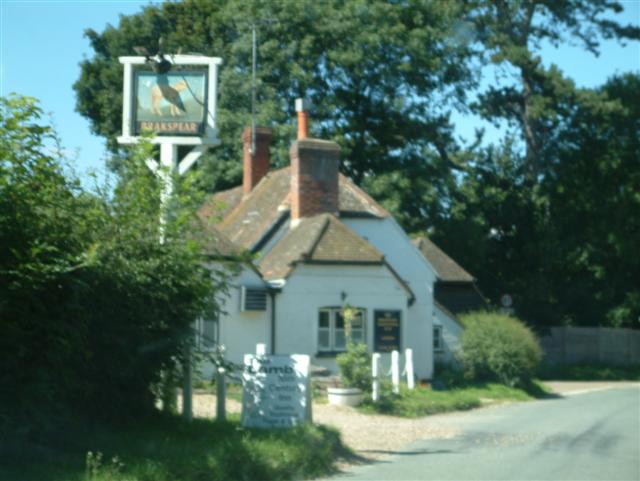
Bromsden Bottom Images

Images are sourced within 2km of 51.553384/-0.96340042 or Grid Reference SU7184. Thanks to Geograph Open Source API. All images are credited.

The Lamb, Satwell The Lamb at Satwell
The Lamb, Satwell
The Lamb at Satwell
Satwell Close, Shepherd's green Satwell Close, Shepherd's green
Satwell Close, Shepherd's green
The Fox at Bix The Fox, Public House (currently disused) just NW of Bix on the A423(T).
The Fox at Bix
The Fox, Public House (currently disused) just NW of Bix on the A423(T).
The Dog & Duck, Highmoor The Dog & Duck, Public House, Highmoor
The Dog & Duck, Highmoor
The Dog & Duck, Public House, Highmoor
St Nicholas' Church, Rotherfield Greys A view of the telephone box and church in the village of Rotherfield Greys
St Nicholas' Church, Rotherfield Greys
A view of the telephone box and church in the village of Rotherfield Greys
St Pauls Church, Highmoor St Pauls Church in the south-western corner of the gridsquare
St Pauls Church, Highmoor
St Pauls Church in the south-western corner of the gridsquare
Middle Assenden village View of this Chilterns village from the Oxfordshire Way.
Middle Assenden village
View of this Chilterns village from the Oxfordshire Way.
Greys Court Tudor manor house and gardens (National Trust).
Greys Court
Tudor manor house and gardens (National Trust).
Bluebells near Bix, Oxfordshire
A4130 Henley to Wallingford road Taken from just before the village of Bix, facing roughly east back towards Henley.
A4130 Henley to Wallingford road
Taken from just before the village of Bix, facing roughly east back towards Henley.
St James's, Bix The 'new' church, built 1875 - the old one is in <a href="https://www.geograph.org.uk/gridref/SU7286">SU7286</a>
St James's, Bix
The 'new' church, built 1875 - the old one is in SU7286
Little Bix Bottom
Little Bix Bottom
Little Bix Bottom Farm
St. James Church, Bix
The Old School, Bix
The Old School, Bix
Bix Manor
Bix Manor
The Barn at Bix Manor
The Beechwoods in Autumn
Show me another place!

Bromsden Bottom is located at Grid Ref: SU7184 (Lat: 51.553384, Lng: -0.96340042)

Administrative County: Oxfordshire

District: South Oxfordshire

Police Authority: Thames Valley

What 3 Words

///prevented.formed.scripted. Near Rotherfield Peppard, Oxfordshire

Related Wikis

Greys Court

Greys Court is a Tudor country house and gardens in the southern Chiltern Hills at Rotherfield Greys, near Henley-on-Thames in the county of Oxfordshire...

Rotherfield Greys Castle

Rotherfield Greys Castle, initially known as Retherfield Castle, is a 14th-century fortified manor house built in Rotherfield Greys, Oxfordshire. Only...

Bix, Oxfordshire

Bix is a village in the civil parish of Bix and Assendon in South Oxfordshire, about 2.5 miles (4 km) northwest of Henley-on-Thames. The village is about...

Lambridge Wood

Lambridge Wood is a 73.8-hectare (182-acre) biological Site of Special Scientific Interest north-west of Henley-on-Thames in Oxfordshire. It is in the...

Nearby Amenities

Located within 500m of 51.553384,-0.96340042
Barrier: stile
Foot: yes
Lat/Long: 51.553907/-0.9589306
Barrier: kissing_gate
Bicycle: no
Foot: yes
Lat/Long: 51.5511761/-0.9694196
The data included in this document is from www.openstreetmap.org. The data is made available under ODbL.

Have you been to Bromsden Bottom?

Leave your review of Bromsden Bottom below (or comments, questions and feedback).