Oxlands Bottom
Valley in Oxfordshire South Oxfordshire
England
Oxlands Bottom
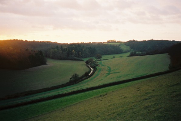
Oxlands Bottom is a picturesque valley located in Oxfordshire, England. Situated in the heart of the countryside, this idyllic spot is known for its stunning natural beauty and tranquil atmosphere. Surrounded by rolling hills and lush greenery, the valley is a haven for nature lovers and outdoor enthusiasts.
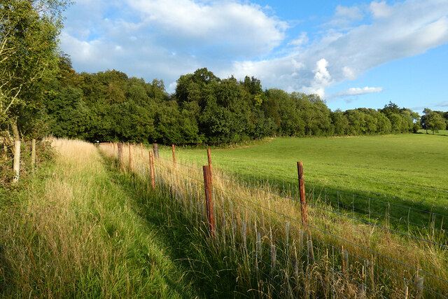
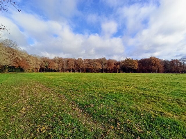
The valley is home to a diverse range of flora and fauna, making it a popular destination for wildlife enthusiasts. Visitors can spot various species of birds, butterflies, and small mammals as they explore the area. The landscape is dotted with ancient woodlands, meandering streams, and meadows, creating a serene and unspoiled environment.
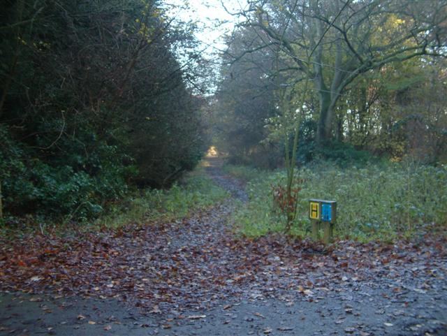
Oxlands Bottom offers numerous walking and hiking trails, allowing visitors to explore the valley and immerse themselves in its breathtaking scenery. The trails cater to different levels of difficulty, ensuring that there is something for everyone, from casual strollers to experienced hikers. Along the way, visitors can enjoy panoramic views of the surrounding countryside and discover hidden gems such as secluded picnic spots and charming cottages.
In addition to its natural beauty, Oxlands Bottom has historical significance. The valley has been inhabited for centuries, and remnants of its past can still be seen today. Ancient ruins, such as the remains of a Roman villa, offer a glimpse into the valley's rich history.
Overall, Oxlands Bottom is a picturesque and serene valley that offers visitors a chance to connect with nature and immerse themselves in the beauty of the Oxfordshire countryside.
If you have any feedback on the listing, please let us know in the comments section below.
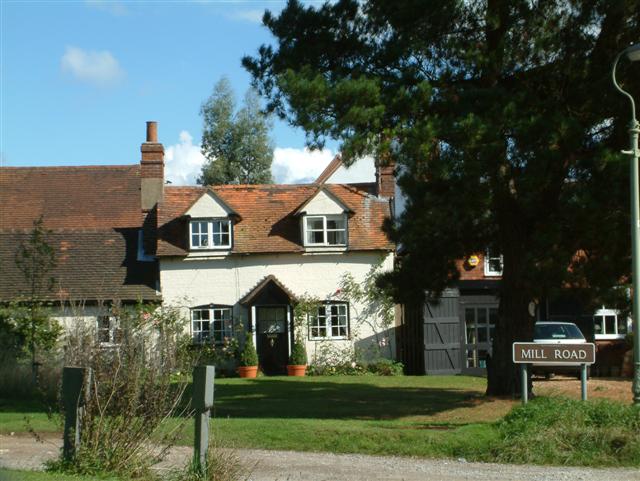
Oxlands Bottom Images
Images are sourced within 2km of 51.567134/-0.98204606 or Grid Reference SU7085. Thanks to Geograph Open Source API. All images are credited.


Oxlands Bottom is located at Grid Ref: SU7085 (Lat: 51.567134, Lng: -0.98204606)
Administrative County: Oxfordshire
District: South Oxfordshire
Police Authority: Thames Valley
What 3 Words
///boards.stays.proposes. Near Rotherfield Peppard, Oxfordshire
Nearby Locations
Related Wikis

Crocker End House
Crocker End House in Nettlebed in Henley-on-Thames, Oxfordshire, England is a spacious Victorian home built to replace Nettlebed's prosperous rectory in...

Nettlebed
Nettlebed is a village and civil parish in Oxfordshire in the Chiltern Hills about 4+1⁄2 miles (7 km) northwest of Henley-on-Thames and 6 miles (10 km...

Highmoor, Oxfordshire
Highmoor is a village and civil parish in the Chiltern Hills in Oxfordshire, about 4 miles (6.4 km) west of Henley-on-Thames. The parish includes the hamlet...
Maidensgrove
Maidensgrove is a hamlet above the Stonor valley in the Chiltern Hills, adjacent to Russell's Water common. It is about 5 miles (8.0 km) northwest of...

Bix Bottom
Bix Bottom is a 102.3-hectare (253-acre) biological Site of Special Scientific Interest north-west of Henley-on-Thames in Oxfordshire. It is owned and...

Bix, Oxfordshire
Bix is a village in the civil parish of Bix and Assendon in South Oxfordshire, about 2.5 miles (4 km) northwest of Henley-on-Thames. The village is about...

Berrick Trench
Berrick Trench is a 2.1-hectare (5.2-acre) biological Site of Special Scientific Interest north of Nettlebed in Oxfordshire.This is an ancient semi-natural...
Henley Rural District
Henley was a rural district in Oxfordshire, England from 1894 to 1974.It was named after the borough of Henley-on-Thames, which it surrounded on the west...
Nearby Amenities
Located within 500m of 51.567134,-0.98204606Have you been to Oxlands Bottom?
Leave your review of Oxlands Bottom below (or comments, questions and feedback).