South Bell Bottom
Valley in Yorkshire Ryedale
England
South Bell Bottom

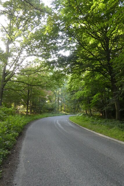
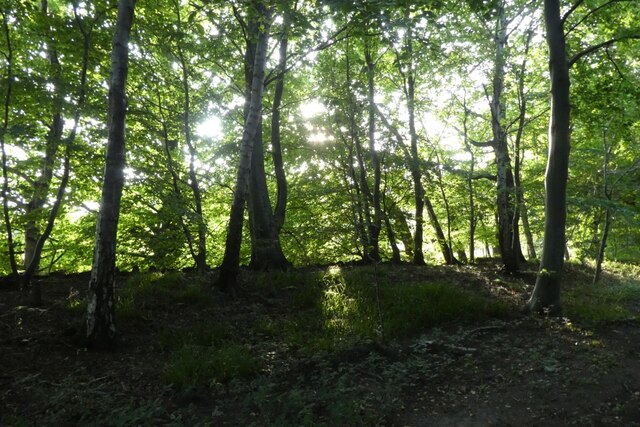
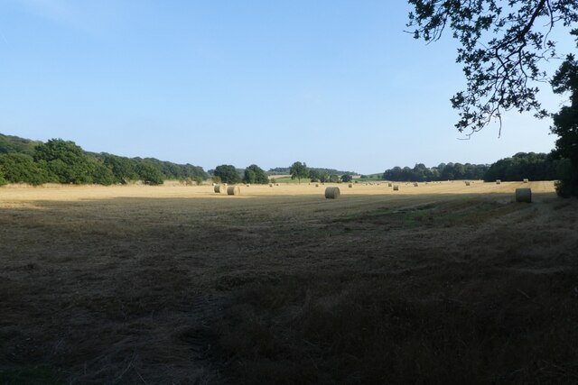
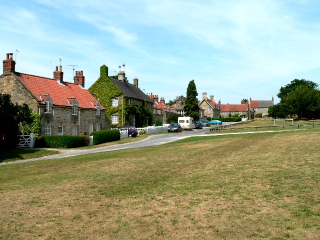
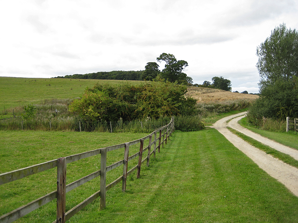
South Bell Bottom is a picturesque village nestled in the heart of Yorkshire Valley, England. Situated in the southern part of the valley, it boasts a population of around 500 residents. The village is known for its stunning natural beauty, with rolling hills, lush green meadows, and charming stone cottages dotting the landscape.
One of the prominent features of South Bell Bottom is its close proximity to the River Bell, which flows through the village, providing a serene and idyllic setting for residents and visitors alike. The river also offers recreational activities such as fishing and boating.
The village center is a bustling hub, with a range of amenities and services to cater to the needs of the community. A few local shops, a post office, a charming village pub, and a small family-run bakery add to the village's charm.
South Bell Bottom is also known for its vibrant community spirit. The village hosts various events throughout the year, including a summer fair, a Christmas market, and a popular annual flower show. These events bring the locals together, fostering a sense of belonging and community pride.
For outdoor enthusiasts, the surrounding area offers ample opportunities for exploration and adventure. The Yorkshire Dales National Park is within easy reach, offering stunning hiking trails, scenic cycling routes, and breathtaking views of the countryside.
In summary, South Bell Bottom is a quintessential English village, blessed with natural beauty and a strong sense of community. Its picturesque setting, charming amenities, and proximity to the Yorkshire Dales make it an ideal place to live or visit for those seeking a peaceful and rural retreat.
If you have any feedback on the listing, please let us know in the comments section below.
South Bell Bottom Images
Images are sourced within 2km of 54.138673/-0.94189669 or Grid Reference SE6971. Thanks to Geograph Open Source API. All images are credited.


South Bell Bottom is located at Grid Ref: SE6971 (Lat: 54.138673, Lng: -0.94189669)
Division: North Riding
Administrative County: North Yorkshire
District: Ryedale
Police Authority: North Yorkshire
What 3 Words
///erupts.already.incurring. Near Sheriff Hutton, North Yorkshire
Nearby Locations
Related Wikis
Coneysthorpe
Coneysthorpe is a small village and civil parish in North Yorkshire, England. It is situated near Castle Howard and 4 miles (6.4 km) west of Malton. The...

Terrington
Terrington is a large village and civil parish in the Ryedale district of North Yorkshire, England. It is situated in the Howardian Hills, 4 miles (6.4...

Slingsby, North Yorkshire
Slingsby is a village and civil parish in North Yorkshire, England. It is about 6 miles (10 km) west of Malton on the B1257 road. According to the 2001...
Henderskelfe
Henderskelfe is a civil parish in North Yorkshire, England. The parish does not contain any villages, though it is named after a previous settlement and...

Castle Howard
Castle Howard is a stately home in North Yorkshire, England, within the civil parish of Henderskelfe, located 15 miles (24 km) north of York. It is a private...

Henderskelfe Castle
Henderskelfe Castle, or Henderskelf Castle in older texts, was a Medieval castle in the English county of North Yorkshire. It stood on what is now the...

Fryton
Fryton is a small village and civil parish in North Yorkshire, England with a population of around 50. This population remained less than 100 at the 2011...
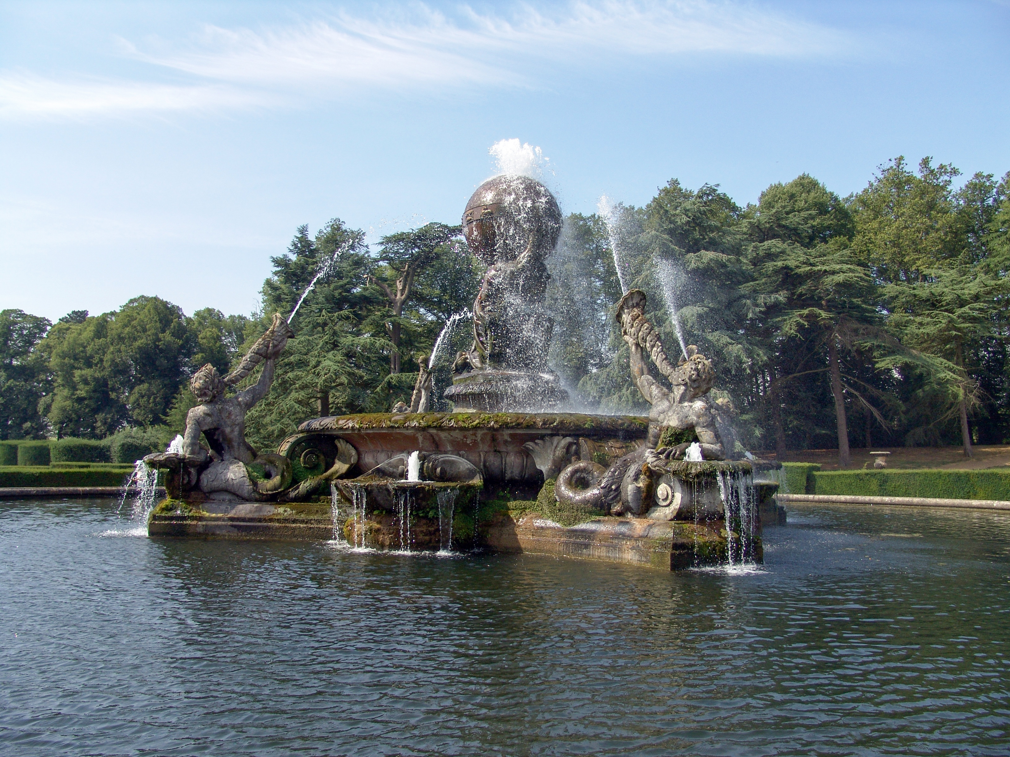
Atlas Fountain
The Atlas Fountain stands in the grounds of Castle Howard, North Yorkshire, England. It has been designated a Grade I listed building and is now recorded...
Nearby Amenities
Located within 500m of 54.138673,-0.94189669Have you been to South Bell Bottom?
Leave your review of South Bell Bottom below (or comments, questions and feedback).