Colliers Bottom
Valley in Oxfordshire South Oxfordshire
England
Colliers Bottom

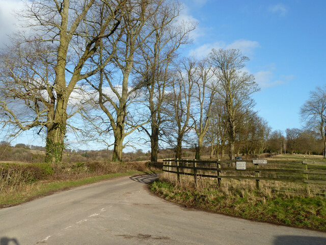
Colliers Bottom is a small village located in the county of Oxfordshire, England. Situated in a scenic valley, it is surrounded by picturesque countryside and rolling hills. The village is part of the larger parish of Holton and Wheatley.
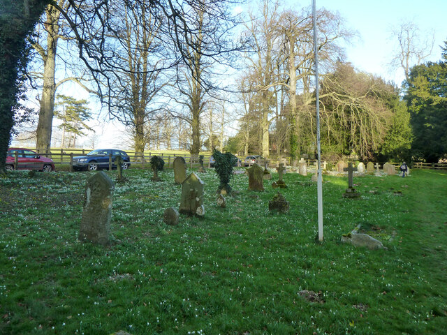
With a population of around 300 residents, Colliers Bottom has a close-knit community that embodies a traditional English village atmosphere. The village primarily consists of charming cottages and historic buildings, including a beautiful 12th-century church, St Peter's.
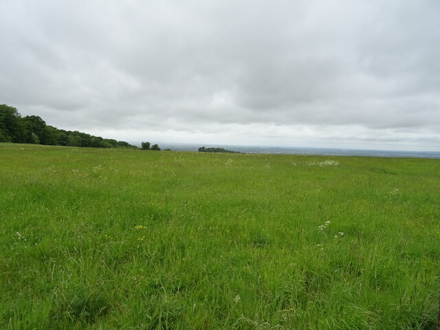
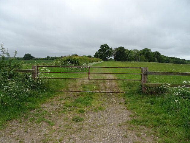
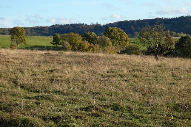
The area is known for its natural beauty and offers numerous walking and cycling routes, allowing residents and visitors to explore the stunning Oxfordshire countryside. Additionally, the nearby Shotover Park provides ample opportunities for outdoor activities such as hiking, horse riding, and nature watching.
Although Colliers Bottom is a small village, it benefits from its proximity to larger towns and cities. The town of Wheatley lies just a few miles away, offering a range of amenities including shops, supermarkets, and schools. The city of Oxford is also easily accessible, providing further cultural, educational, and entertainment options.
Colliers Bottom remains a tranquil and idyllic village, attracting those seeking a peaceful rural lifestyle. Its stunning surroundings and friendly community make it an appealing place to live or visit for those looking to escape the hustle and bustle of city life.
If you have any feedback on the listing, please let us know in the comments section below.
Colliers Bottom Images
Images are sourced within 2km of 51.605608/-1.0264123 or Grid Reference SU6790. Thanks to Geograph Open Source API. All images are credited.


Colliers Bottom is located at Grid Ref: SU6790 (Lat: 51.605608, Lng: -1.0264123)
Administrative County: Oxfordshire
District: South Oxfordshire
Police Authority: Thames Valley
What 3 Words
///watches.gladiator.dock. Near Watlington, Oxfordshire
Nearby Locations
Related Wikis

Swyncombe
Swyncombe is a hamlet and large civil parish in the high Chilterns, within the Area of Outstanding Natural Beauty about 4+1⁄2 miles (7 km) east of Wallingford...

Swyncombe Downs
Swyncombe Downs is a 47.1-hectare (116-acre) biological Site of Special Scientific Interest east of Wallingford in Oxfordshire.This is an area of chalk...

HM Prison Huntercombe
HM Prison Huntercombe is a Category C men's prison, located near Nuffield in Oxfordshire, England. It is operated by His Majesty's Prison Service. ��2...

Nuffield Place
Nuffield Place is a country house near the village of Nuffield in the Chiltern Hills in South Oxfordshire, England, just over 4 miles (6 km) east of Wallingford...

Nuffield, Oxfordshire
Nuffield is a village and civil parish in the Chiltern Hills in South Oxfordshire, England, just over 4 miles (6 km) east of Wallingford. The 2011 Census...

A4130 road
The A4130 is a British A road which runs from a junction with the A404 at Burchetts Green (Maidenhead), Berkshire to the A417 at Rowstock in Oxfordshire...

Russell's Water
Russell's Water is a hamlet about 6 miles (9.7 km) north of Henley-on-Thames in South Oxfordshire. It is in the Chiltern Hills about 620 feet (190 m)...

Britwell Salome
Britwell Salome is a village and civil parish in South Oxfordshire, England centred 4+1⁄2 miles (7 km) northeast of Wallingford. The 2011 Census recorded...
Nearby Amenities
Located within 500m of 51.605608,-1.0264123Have you been to Colliers Bottom?
Leave your review of Colliers Bottom below (or comments, questions and feedback).