Vale of York
Valley in Yorkshire
England
Vale of York

The Vale of York, located in Yorkshire, England, is a flat and fertile valley that stretches across approximately 350 square miles. The valley is formed by the River Ouse and its tributaries, and it is surrounded by the rolling hills of the Pennines to the west and the Yorkshire Wolds to the east.
The Vale of York has a rich agricultural history, with its fertile soils and mild climate making it an ideal area for farming. The valley is primarily used for arable farming, with crops such as wheat, barley, and potatoes being grown extensively. The region is also known for its dairy farming, with many farms producing milk and cheese.
In addition to its agricultural significance, the Vale of York is home to several towns and villages, including York, the largest city in the region. York is known for its rich history and cultural heritage, with attractions such as the York Minster, a magnificent Gothic cathedral, and the medieval city walls.
The Vale of York is also a popular destination for outdoor enthusiasts, with its flat landscape offering opportunities for walking, cycling, and birdwatching. The area is home to several nature reserves, including the RSPB Fairburn Ings, which provides a habitat for a variety of bird species.
Overall, the Vale of York is a picturesque and fertile valley with a rich agricultural heritage, historical significance, and natural beauty.
If you have any feedback on the listing, please let us know in the comments section below.
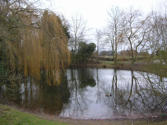
Vale of York Images
Images are sourced within 2km of 53.981907/-0.99473177 or Grid Reference SE6654. Thanks to Geograph Open Source API. All images are credited.


Vale of York is located at Grid Ref: SE6654 (Lat: 53.981907, Lng: -0.99473177)
Division: North Riding
Unitary Authority: York
Police Authority: North Yorkshire
What 3 Words
///learning.capillary.forgot. Near Holtby, North Yorkshire
Nearby Locations
Related Wikis

Brockfield Hall
Brockfield Hall is a country house in Warthill, east of York in North Yorkshire, England. The hall was built in 1804 for Benjamin Agar, to a design by...

Holtby
Holtby is a small village and civil parish in the unitary authority of the City of York in North Yorkshire, England. The population at the 2011 Census...

Stockton-on-the-Forest
Stockton-on-the-Forest is a village and civil parish in the unitary authority of the City of York in North Yorkshire, England. == History == The village...
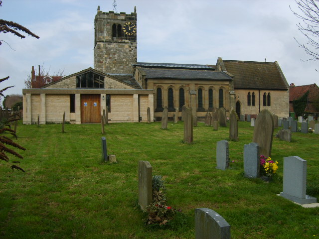
St Nicholas' Church, Dunnington
St Nicholas' Church, Dunnington is a Grade II* listed parish church in Dunnington, a village in the rural south-eastern part of the City of York, in England...
Nearby Amenities
Located within 500m of 53.981907,-0.99473177Have you been to Vale of York?
Leave your review of Vale of York below (or comments, questions and feedback).