Benham's Gully
Valley in Berkshire
England
Benham's Gully
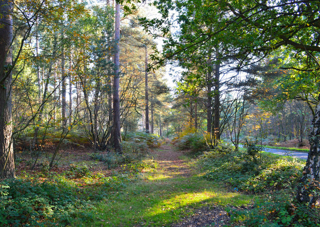
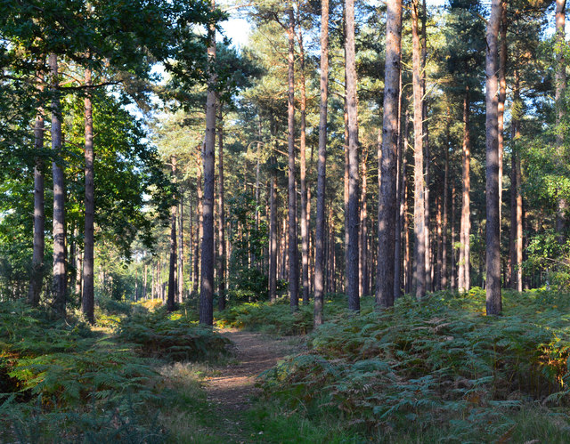
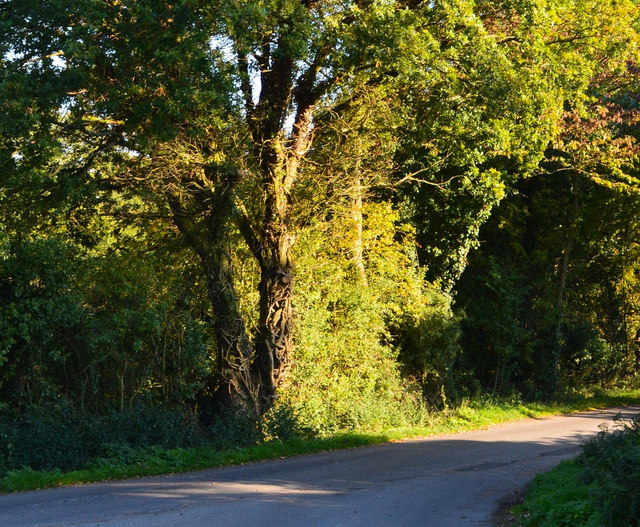
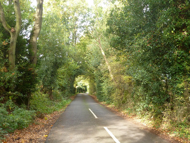
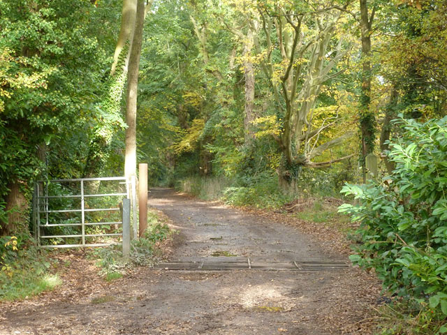
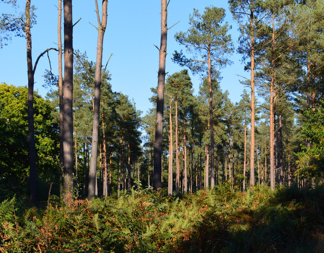
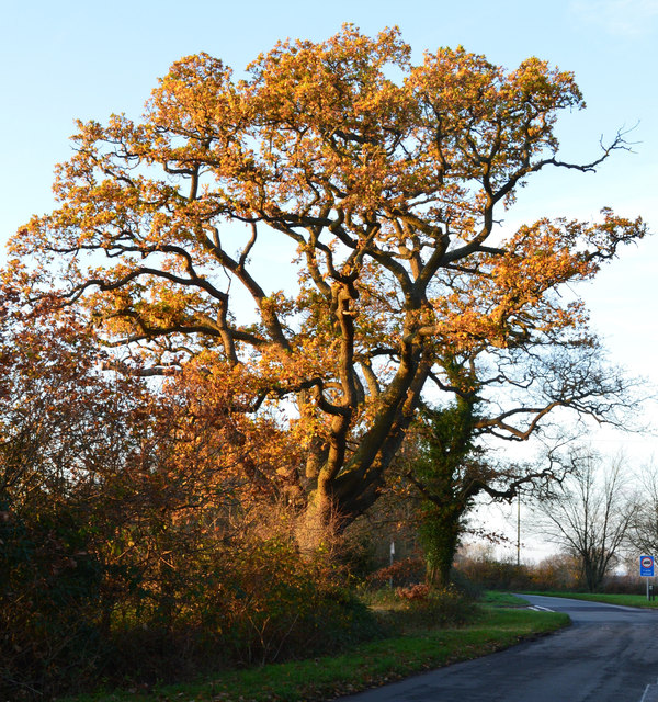
Benham's Gully, located in Berkshire, is a picturesque valley nestled between the rolling hills of southern England. The gully is known for its lush greenery, diverse wildlife, and tranquil atmosphere, making it a haven for nature enthusiasts and hikers alike.
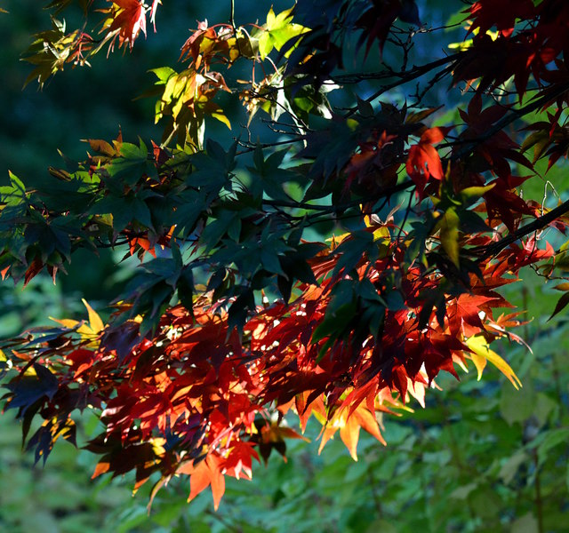
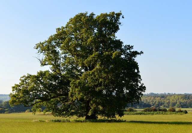
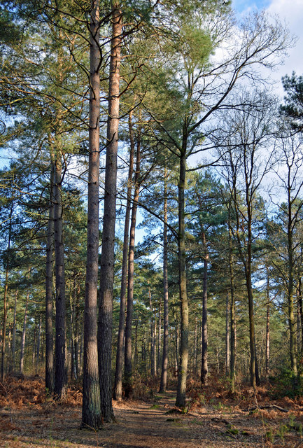
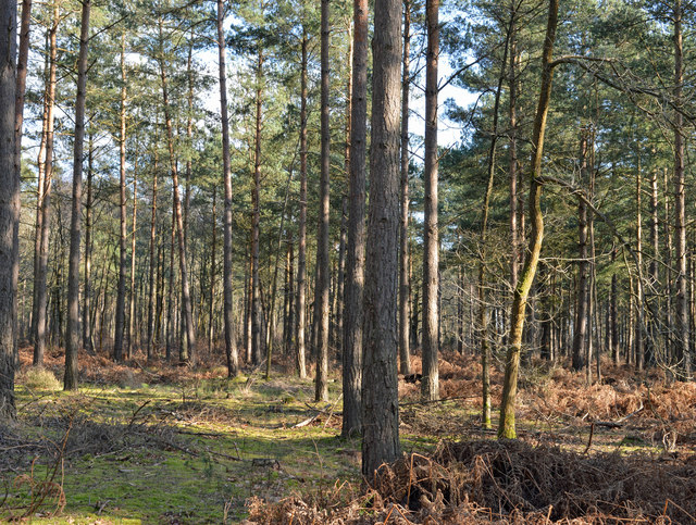
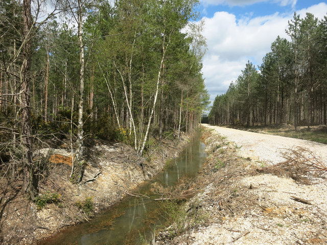
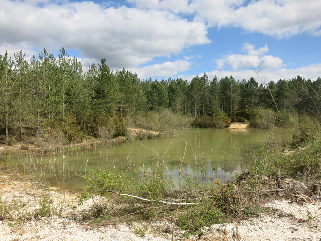
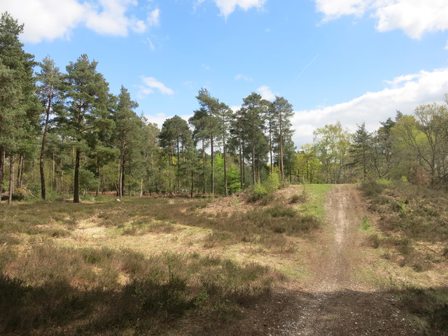
The gully stretches for approximately 2 miles and is characterized by its steep sides and meandering stream that runs through the center. The surrounding landscape is predominantly covered in dense woodlands, with a variety of tree species such as oak, beech, and ash creating a vibrant canopy overhead.
Wildlife thrives in Benham's Gully, with numerous species making their home in the valley. Visitors may spot deer, rabbits, squirrels, and a wide range of bird species, including woodpeckers and owls. The diverse flora and fauna in the gully provide ample opportunities for nature observation and photography.
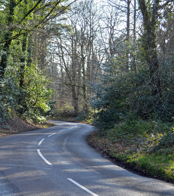
A network of well-marked trails crisscrosses the valley, allowing visitors to explore its beauty at their own pace. These trails cater to different levels of difficulty, ensuring that both seasoned hikers and beginners can enjoy the area. Along the way, hikers will be treated to breathtaking views of the surrounding countryside and may stumble upon hidden waterfalls or small caves.
Benham's Gully is also home to a small visitor center, where visitors can learn more about the local ecosystem, wildlife, and history of the area. The center offers guided tours, educational programs, and exhibits showcasing the valley's natural wonders.
Overall, Benham's Gully in Berkshire offers a serene escape from the bustle of everyday life, allowing visitors to immerse themselves in the beauty of nature and experience the tranquility of this enchanting valley.
If you have any feedback on the listing, please let us know in the comments section below.
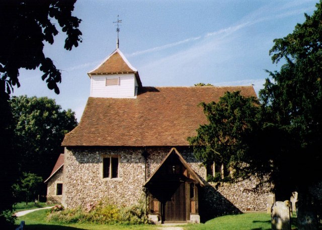
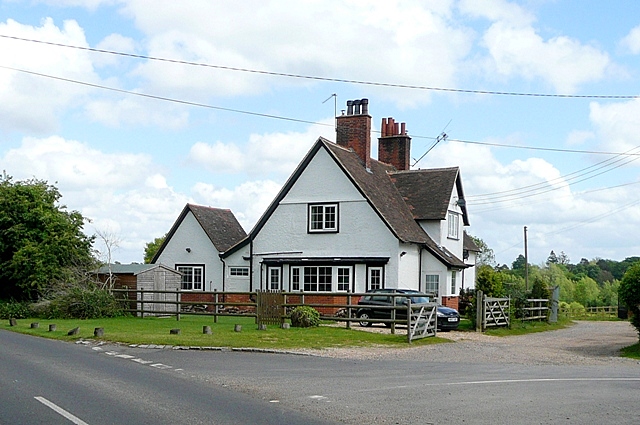
Benham's Gully Images
Images are sourced within 2km of 51.397226/-1.078981 or Grid Reference SU6466. Thanks to Geograph Open Source API. All images are credited.


Benham's Gully is located at Grid Ref: SU6466 (Lat: 51.397226, Lng: -1.078981)
Unitary Authority: West Berkshire
Police Authority: Thames Valley
What 3 Words
///sorry.hops.audit. Near Stratfield Mortimer, Berkshire
Nearby Locations
Related Wikis

The Willink School
The Willink School is a comprehensive community school in Burghfield Common, Berkshire, United Kingdom. Founded in 1957, the school is co-educational and...

Ufton Nervet
Ufton Nervet is a village and civil parish in West Berkshire, England centred 6 miles (10 km) west southwest of the large town of Reading and 7 miles east...
Great Auclum National Speed Hill Climb
Great Auclum National Speed Hill Climb was a motorcar course close to Burghfield Common in the English county of Berkshire. It was based in the grounds...
Sulhamstead
Sulhamstead is a village and civil parish in West Berkshire, England. It occupies an approximate rectangle of land south of the (Old) Bath Road (A4) between...
Arlington Square, Bracknell
Arlington Square Business Park is a business park in Bracknell, England, owned and operated by Goodman Group. The park houses a number of well-known companies...

Folly Farm, Sulhamstead
Folly Farm is an Arts and Crafts style country house in Sulhamstead, West Berkshire, England. Built around a small farmhouse dating to c. 1650, the house...
Goddard's Green, Berkshire
Goddard's Green is a hamlet and part of the civil parish of Wokefield in Berkshire, England. The settlement lies between the villages of Burghfield Common...

Padworth
Padworth is a dispersed settlement and civil parish in the English county of Berkshire, with the nearest town being Tadley. Padworth is in the unitary...
Nearby Amenities
Located within 500m of 51.397226,-1.078981Have you been to Benham's Gully?
Leave your review of Benham's Gully below (or comments, questions and feedback).