Leysters
Settlement in Herefordshire
England
Leysters
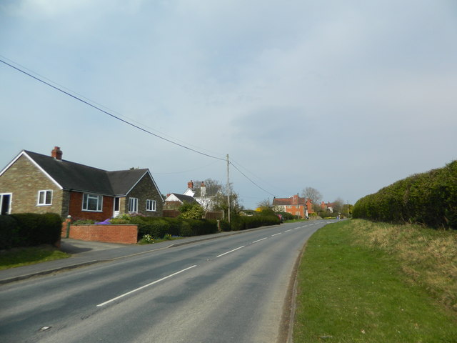
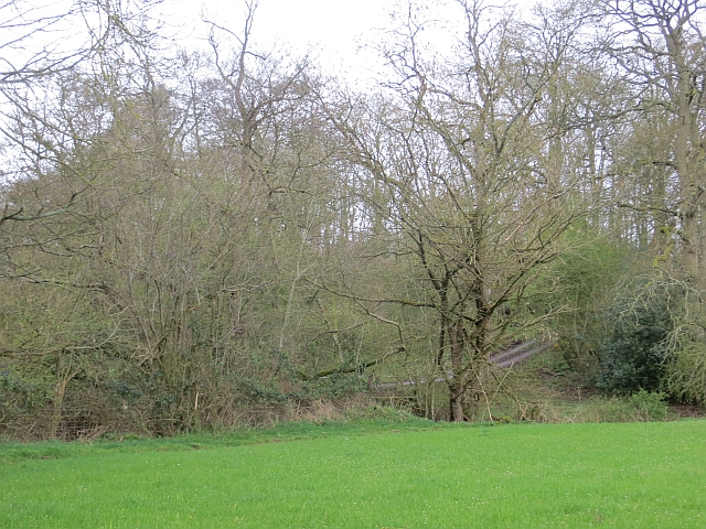
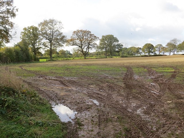
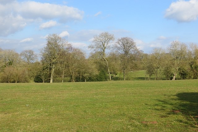
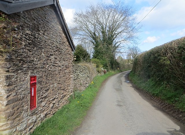
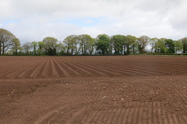
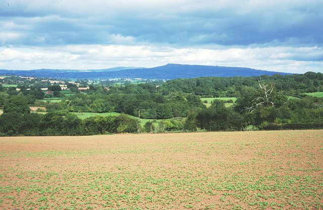
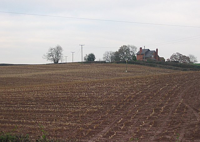
Leysters is a small village located in the county of Herefordshire, England. Situated in the West Midlands region, it lies approximately 15 miles north-west of the city of Hereford and 5 miles south-west of the town of Leominster. The village is surrounded by picturesque countryside, boasting rolling hills and lush green fields.
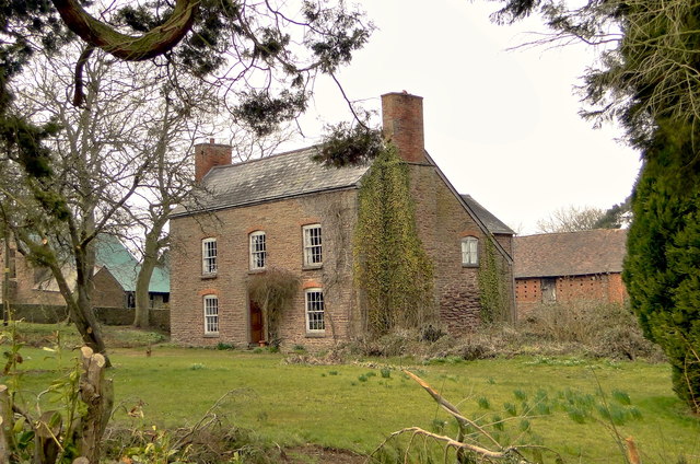
With a population of around 200 residents, Leysters is a tight-knit community that exudes a peaceful and tranquil atmosphere. The village is predominantly residential, with a scattering of traditional stone houses and cottages, giving it a charming and idyllic appearance. The architecture in Leysters is a blend of old and new, showcasing the area's rich history while incorporating modern elements.
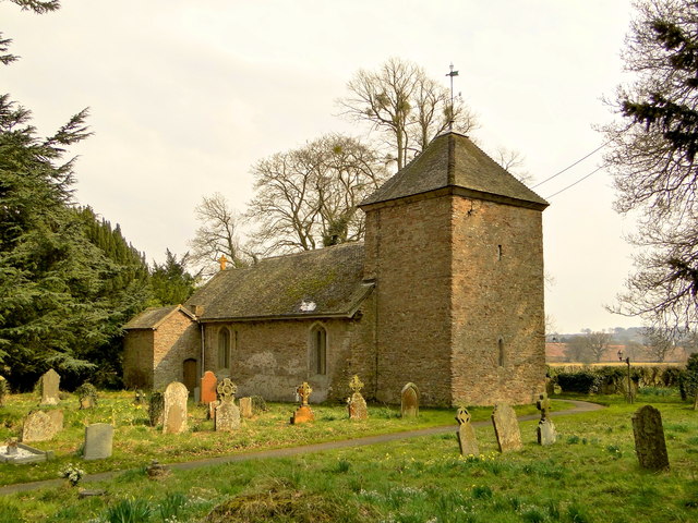
While Leysters may be small, it offers some amenities for its residents. The village has a local pub, providing a gathering place for locals and visitors alike. Additionally, a community hall serves as a venue for various events and social gatherings.
Leysters is surrounded by beautiful countryside, making it an ideal location for outdoor enthusiasts. The area offers numerous walking and cycling trails that allow residents and visitors to explore the stunning landscapes and enjoy the fresh air. The nearby River Lugg also provides opportunities for fishing and boating.
Overall, Leysters is a charming village that offers a peaceful and scenic setting for its residents. With its close-knit community and access to stunning countryside, it is an ideal place for those seeking a tranquil lifestyle away from the hustle and bustle of larger towns and cities.
If you have any feedback on the listing, please let us know in the comments section below.
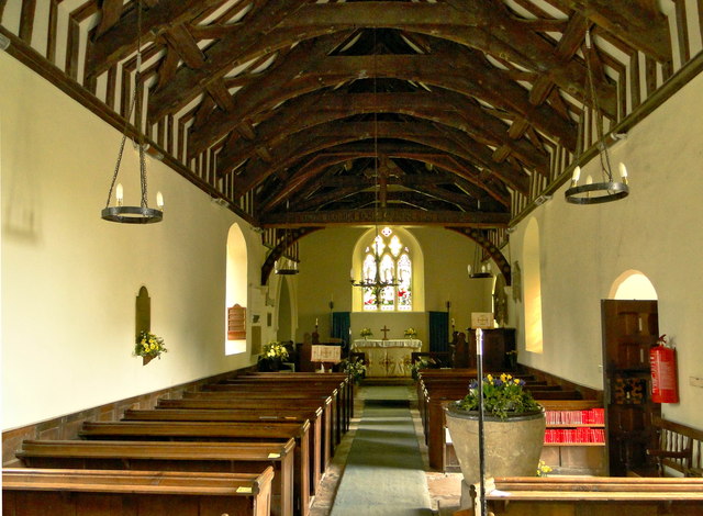
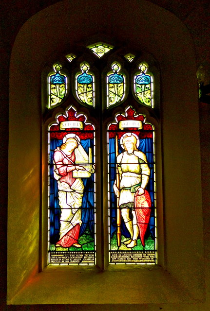
Leysters Images
Images are sourced within 2km of 52.270147/-2.6472321 or Grid Reference SO5563. Thanks to Geograph Open Source API. All images are credited.

Leysters is located at Grid Ref: SO5563 (Lat: 52.270147, Lng: -2.6472321)
Unitary Authority: County of Herefordshire
Police Authority: West Mercia
What 3 Words
///curries.hurtles.lend. Near Kimbolton, Herefordshire
Nearby Locations
Related Wikis

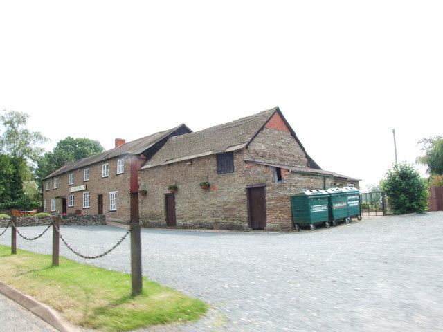
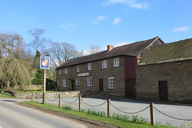
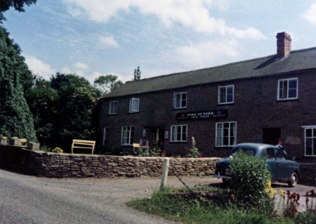
Duke of York, Leysters
The Duke of York is a public house in the parish of Middleton on the Hill, near Leominster, Herefordshire. The pub is on the Campaign for Real Ale's National...

Laysters
Laysters is a civil parish in north-east Herefordshire, England, and approximately 15 miles (20 km) north-northeast from the city and county town of Hereford...

Middleton on the Hill
Middleton on the Hill is a village in north east Herefordshire, England, near the border with Worcestershire. Middleton-on-the-Hill lies a few miles to...
St Michael's College, Tenbury
St. Michael's College (the College of St. Michael and All Angels) was founded by Sir Frederick Ouseley in 1856 as a boys Preparatory School. Ouseley created...
Nearby Amenities
Located within 500m of 52.270147,-2.6472321Have you been to Leysters?
Leave your review of Leysters below (or comments, questions and feedback).