Bedlam Bottom
Valley in Hampshire Basingstoke and Deane
England
Bedlam Bottom

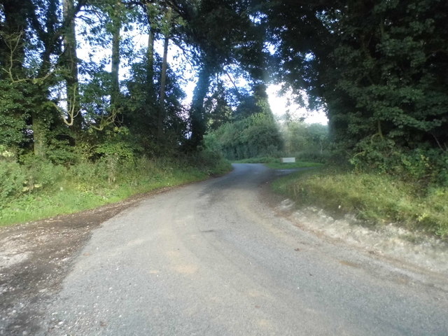
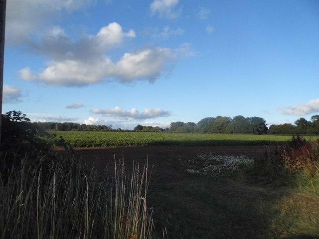
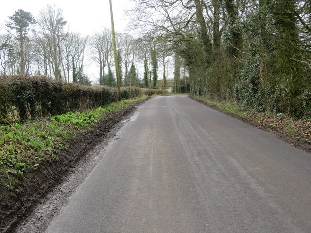
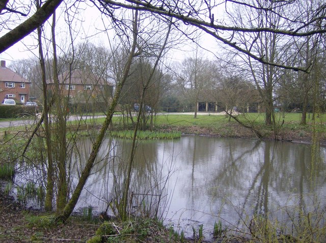
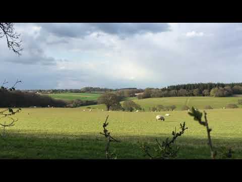
Bedlam Bottom, Hampshire, also known as Bedlam Valley, is a picturesque rural area situated in the county of Hampshire, England. Nestled between rolling hills and lush green countryside, this idyllic valley offers a peaceful and tranquil retreat for nature lovers and those seeking a break from the hustle and bustle of city life.
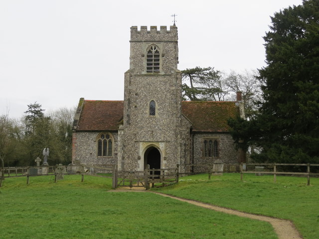
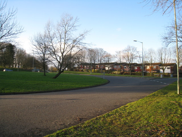
The valley is home to a small community of residents who enjoy the charm and beauty of the countryside. The landscape is dotted with charming cottages and farms, giving it a quaint and timeless feel. The area is known for its stunning views, with the valley providing a natural amphitheater-like setting, surrounded by hills on all sides.
The valley is also crisscrossed by a meandering river, adding to its natural allure. The river provides a perfect spot for fishing and boating, attracting outdoor enthusiasts from far and wide. Additionally, the surrounding hills offer an excellent opportunity for hiking and exploring, with numerous trails and footpaths winding their way through the valley.
Bedlam Bottom is also famous for its local wildlife, with many species of birds and animals calling the valley home. Birdwatchers can spot a variety of species, including kingfishers and herons, while wildlife enthusiasts may catch a glimpse of deer, foxes, and rabbits.
Overall, Bedlam Bottom, Hampshire, is a hidden gem that offers a peaceful and picturesque escape to nature. With its charming countryside, stunning views, and abundant wildlife, it is a place where visitors can immerse themselves in the beauty of the natural world.
If you have any feedback on the listing, please let us know in the comments section below.
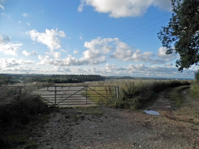
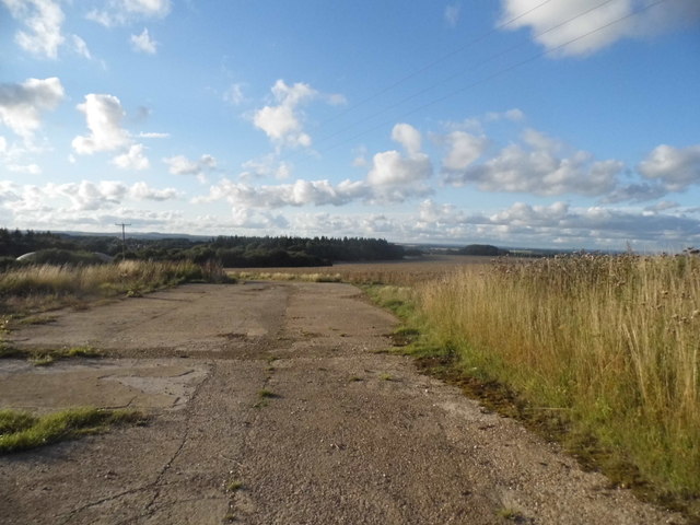
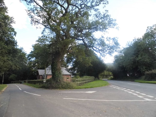
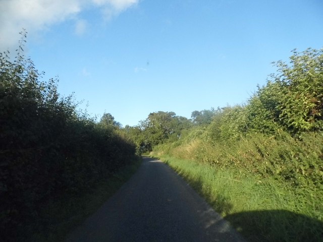
Bedlam Bottom Images
Images are sourced within 2km of 51.213035/-1.1046645 or Grid Reference SU6246. Thanks to Geograph Open Source API. All images are credited.


Bedlam Bottom is located at Grid Ref: SU6246 (Lat: 51.213035, Lng: -1.1046645)
Administrative County: Hampshire
District: Basingstoke and Deane
Police Authority: Hampshire
What 3 Words
///saves.weds.navy. Near Basingstoke, Hampshire
Nearby Locations
Related Wikis

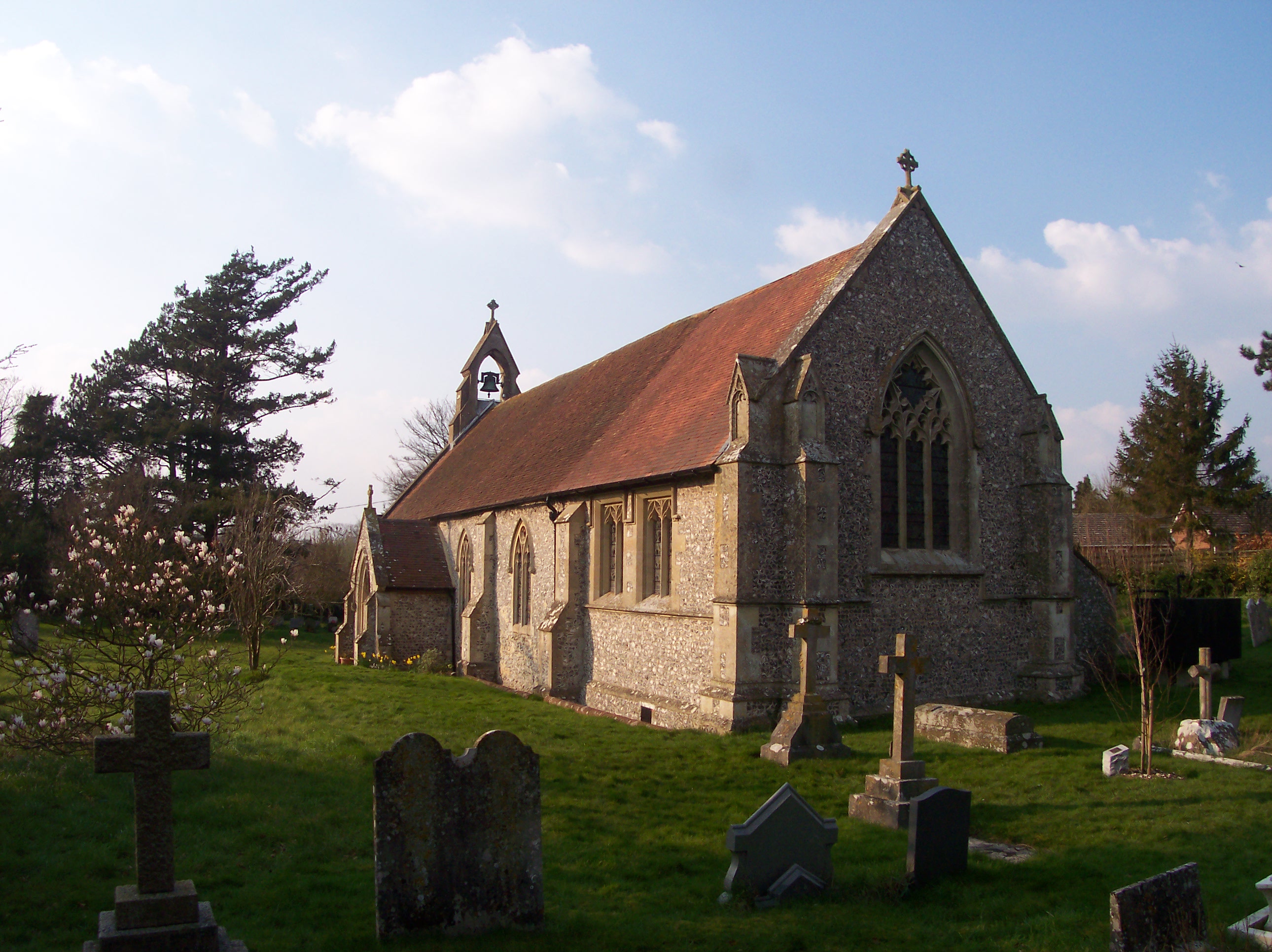
Farleigh Wallop
Farleigh Wallop is a small village and civil parish in Hampshire, England, approximately 4.7 miles (7.6 km) south of Basingstoke on the slopes of Farleigh...
Broadmere
Broadmere is a hamlet in Hampshire, England. The hamlet comes under the parish of Farleigh Wallop and its nearest town is Basingstoke, about 2 miles away...
Ellisfield
Ellisfield is a village in the Basingstoke and Deane district of Hampshire, England. It lies approximately 4 miles (6.4 km) south of Basingstoke on the...

Farleigh Hill
Farleigh Hill is one of the highest points in the county of Hampshire, England. It is part of the Hampshire Downs and reaches a height of 208 metres (682...
Hatch Warren
Hatch Warren is a district and ward of Basingstoke in Hampshire, England. The population of the appropriate ward called Hatch Warren and Beggarwood was...
Nutley, Hampshire
Nutley is a small village and civil parish in the Basingstoke and Deane district of Hampshire, England. It is located approximately 5.6 miles (9.0 km)...
Cliddesden
Cliddesden is a village and a parish in Hampshire, England located 3 miles south of Basingstoke, close to the M3 motorway. In the 2001 census it had a...
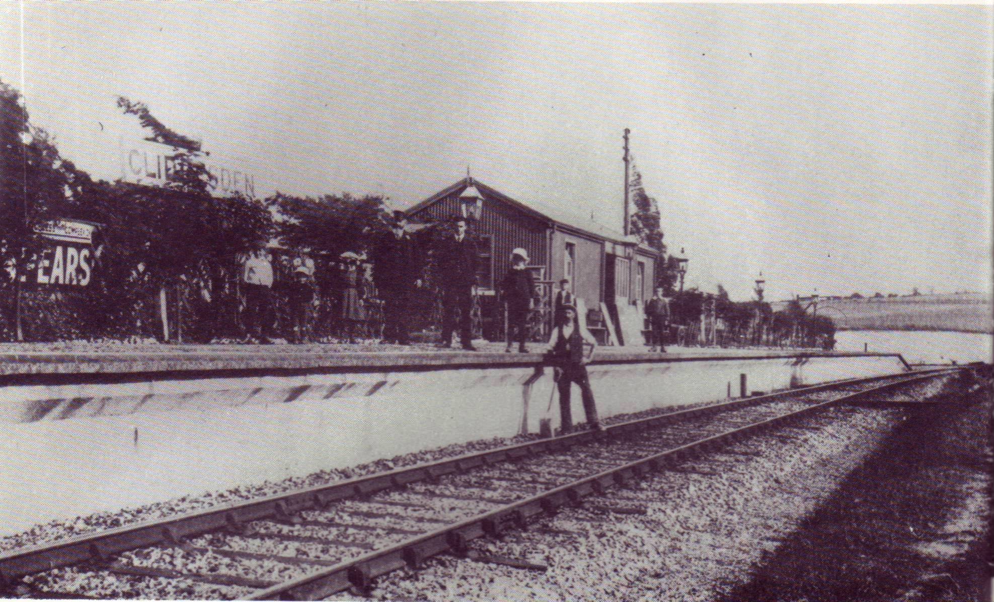
Cliddesden railway station
Cliddesden railway station was a railway station in the village of Cliddesden, Hampshire, UK. The station was a stop on the Basingstoke and Alton Light...
Related Videos

#38 Rob's Hampshire Pub Walks. The Cliddesden / Buggleskelly Walk #Cliddesden
A six mile Hampshire walk along the Basingstoke and Alton Light Railway , where we discover Cliddesden station that is probably ...

Inwood Camping - campsite tour
A quick look around our pitch at the wonderful Inwood Camping Unplugged site near Basingstoke.
Moundsmere training day
The training continues. Building up strength and resilience. One step at a time. #resilience #onestepatatime #outofcomfortzone ...

Nearby Amenities
Located within 500m of 51.213035,-1.1046645Have you been to Bedlam Bottom?
Leave your review of Bedlam Bottom below (or comments, questions and feedback).