West Sothers Dale
Valley in Shetland
Scotland
West Sothers Dale
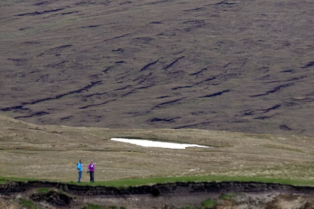
West Sothers Dale, located in the Shetland Islands, Scotland, is a picturesque valley nestled amidst the stunning natural beauty of the region. Situated in the south-western part of the Shetland mainland, this valley is positioned between the hills of Fitful Head and Scalla Field.
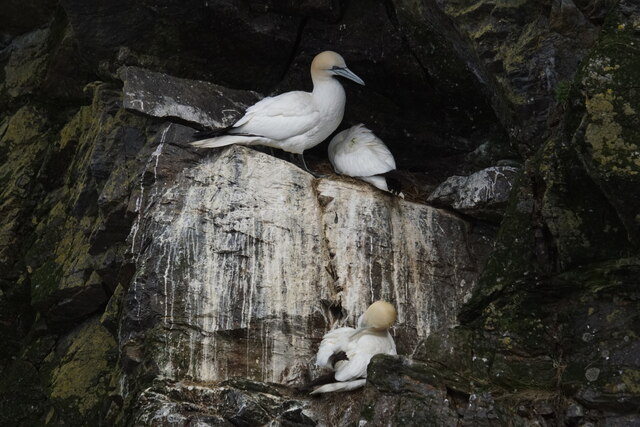
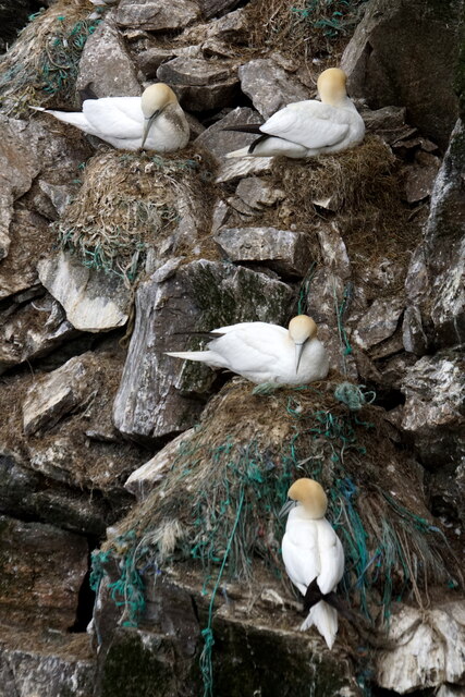
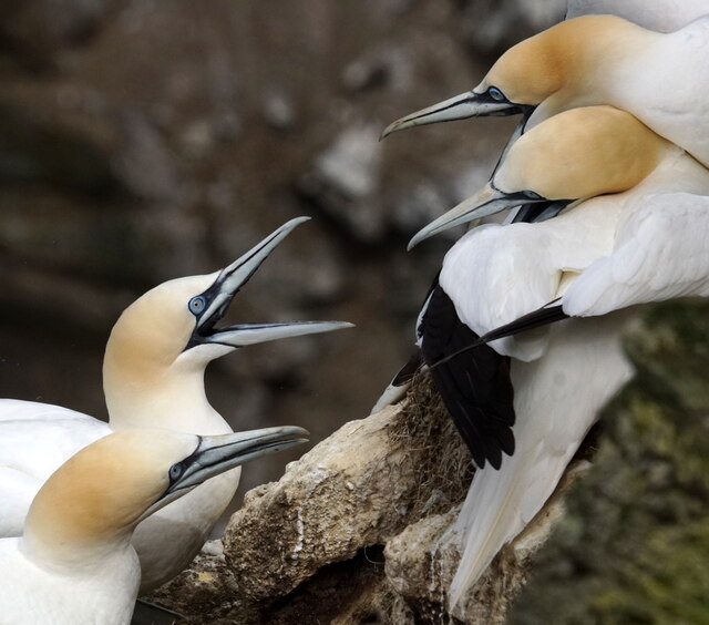
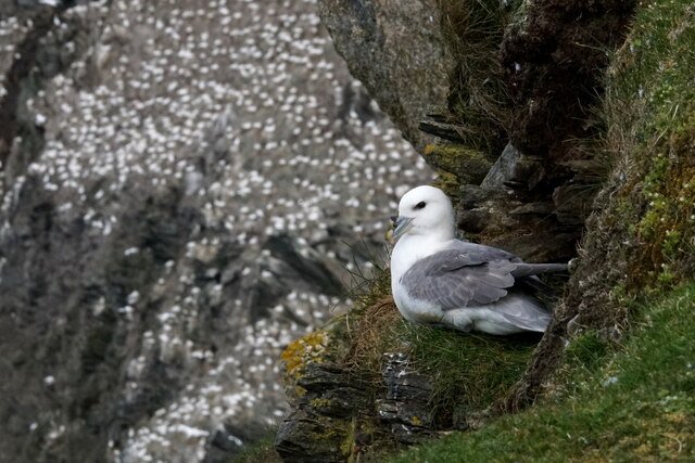
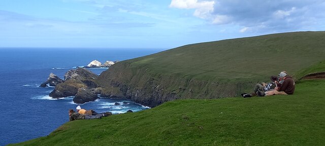
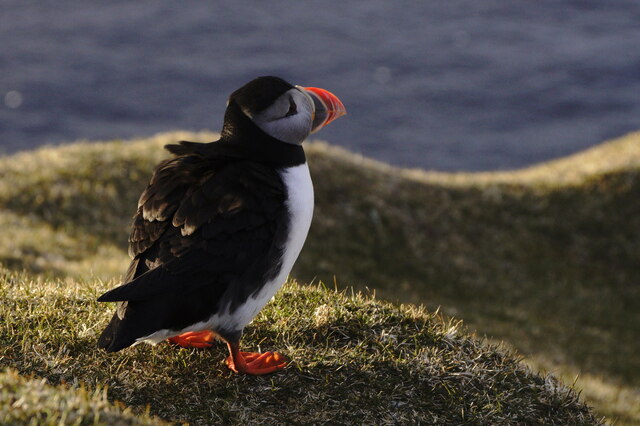
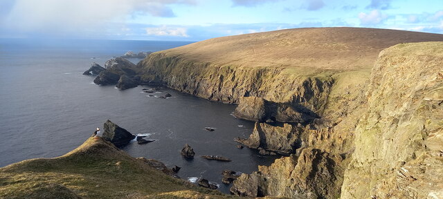
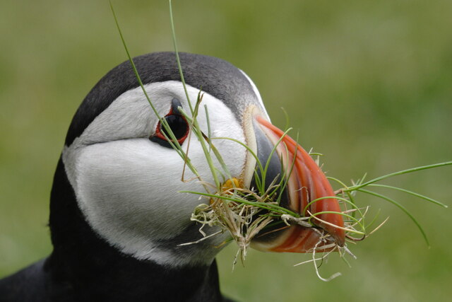
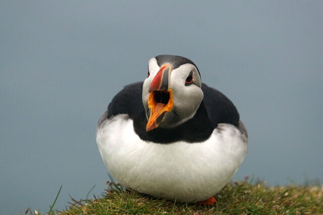
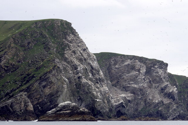
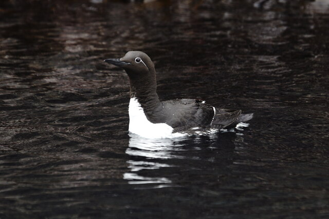
Characterized by its rolling green pastures, rugged cliffs, and meandering streams, West Sothers Dale offers visitors a tranquil and idyllic setting. The valley is home to a diverse range of flora and fauna, including a variety of wildflowers, heather, and mosses, as well as numerous bird species such as puffins, gannets, and oystercatchers.
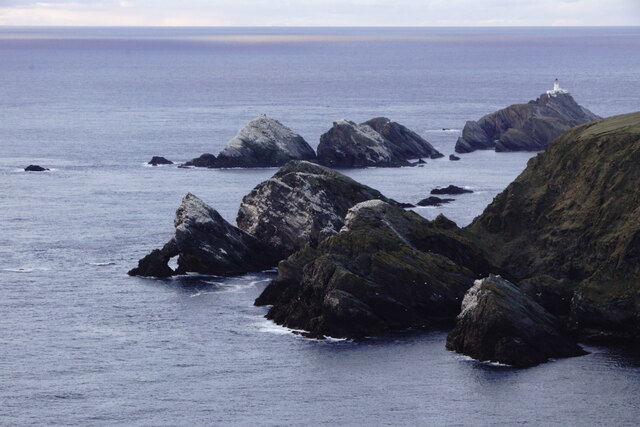
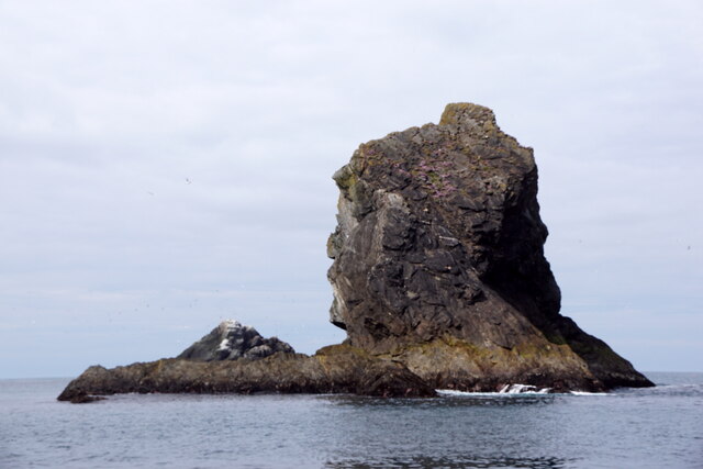
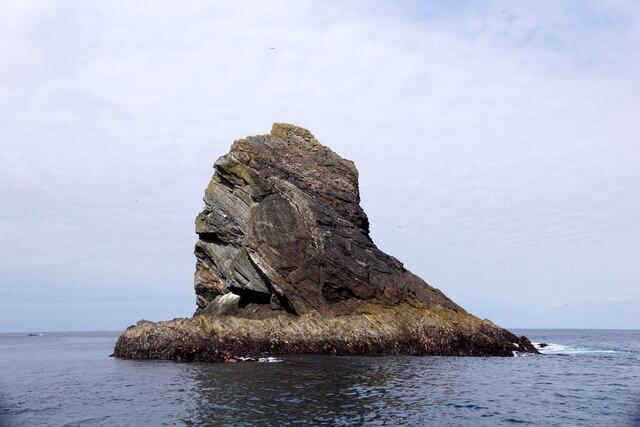
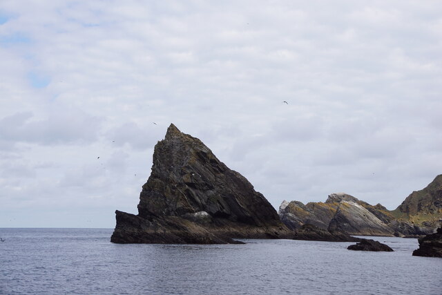
The valley's unique geological features are a sight to behold, with its dramatic rock formations and sheer cliffs providing a glimpse into the region's ancient history. The area is also known for its archaeological significance, with several Neolithic and Iron Age sites scattered throughout the valley, including burial mounds and stone circles.
West Sothers Dale is a haven for outdoor enthusiasts, offering numerous opportunities for walking, hiking, and birdwatching. The valley is traversed by several walking trails, providing breathtaking views of the surrounding landscape. Additionally, the nearby coastline offers visitors the chance to explore caves, sea stacks, and sandy beaches.
Despite its remote location, West Sothers Dale is easily accessible by road, with a well-maintained road network connecting it to the nearby towns of Sandwick and Dunrossness. The valley is also a popular spot for camping and picnicking, allowing visitors to fully immerse themselves in the tranquility of this enchanting location.
In summary, West Sothers Dale is a captivating valley in the Shetland Islands, boasting stunning natural scenery, rich wildlife, and a wealth of historical and recreational opportunities.
If you have any feedback on the listing, please let us know in the comments section below.
West Sothers Dale Images
Images are sourced within 2km of 60.826068/-0.89219934 or Grid Reference HP6016. Thanks to Geograph Open Source API. All images are credited.


West Sothers Dale is located at Grid Ref: HP6016 (Lat: 60.826068, Lng: -0.89219934)
Unitary Authority: Shetland Islands
Police Authority: Highlands and Islands
What 3 Words
///notion.swooning.system. Near Haroldswick, Shetland Islands
Nearby Locations
Related Wikis

Hermaness
Hermaness is the northernmost headland of Unst, the most northerly inhabited island of Shetland, Scotland. It consists of huge sea cliffs and moorland...

Burrafirth
Burrafirth links (Old Norse: Borgarfjorðr, meaning "the fjord with a castle") is a strip of land with a few houses on the island of Unst, Shetland, Scotland...

RAF Saxa Vord
Remote Radar Head Saxa Vord or RRH Saxa Vord (aka RAF Saxa Vord), is a Royal Air Force radar station located on the island of Unst, the most northern of...

Muckle Flugga
Muckle Flugga () is a small rocky island north of Unst in the Shetland Islands, Scotland. It is often described as the northernmost point of the British...

Out Stack
Out Stack or Ootsta is an island in Shetland, Scotland and the northernmost point of both Scotland and the British Isles. It lies 600 m (2,000 ft) northeast...

Valhalla Brewery
The Valhalla Brewery in Unst, Shetland, Scotland, was the northernmost brewery in the United Kingdom. It was opened by the husband and wife team Sonny...

Saxa Vord distillery
Saxa Vord distillery is a Scotch whisky and gin distillery on the island of Unst, part of the Shetland islands. The distillery takes its name from its...

Haroldswick
Haroldswick or Harold's Wick (Old Norse: Haraldsvík, 'Harald's bay'), is on Unst, Shetland Islands, Scotland, and is one of the most northerly settlements...
Nearby Amenities
Located within 500m of 60.826068,-0.89219934Have you been to West Sothers Dale?
Leave your review of West Sothers Dale below (or comments, questions and feedback).