Beddings Gully
Valley in Berkshire
England
Beddings Gully
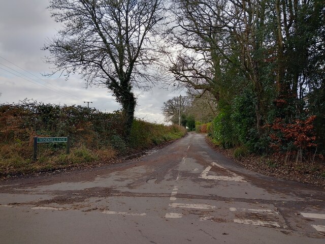
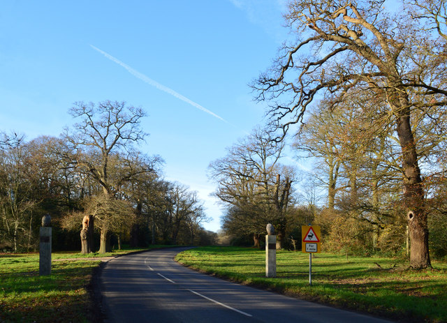
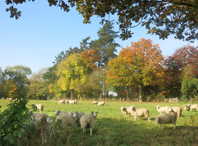
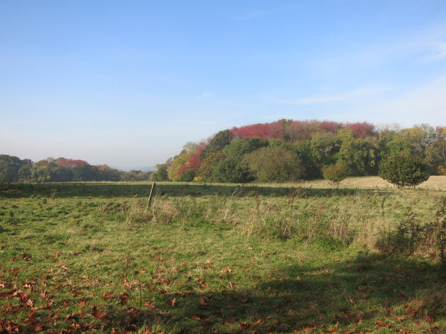
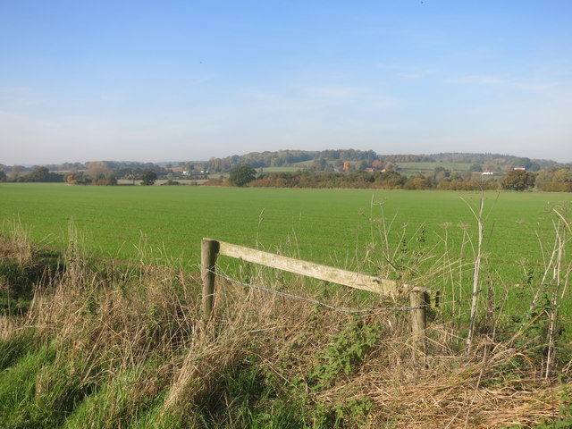
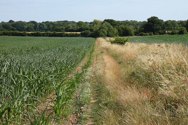
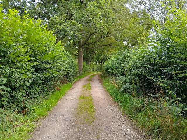
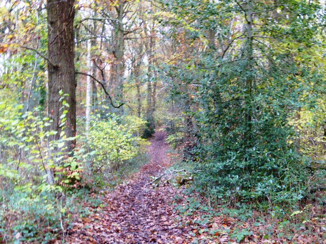
Beddings Gully is a picturesque valley located in the county of Berkshire, England. Nestled amidst the rolling hills and lush greenery, this enchanting gully offers a serene and tranquil escape from the hustle and bustle of everyday life.
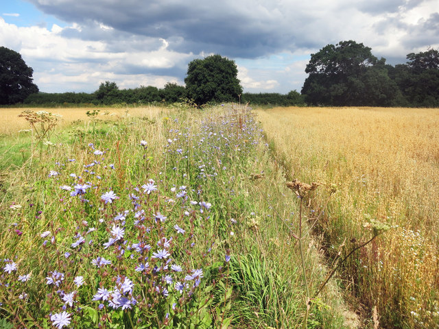
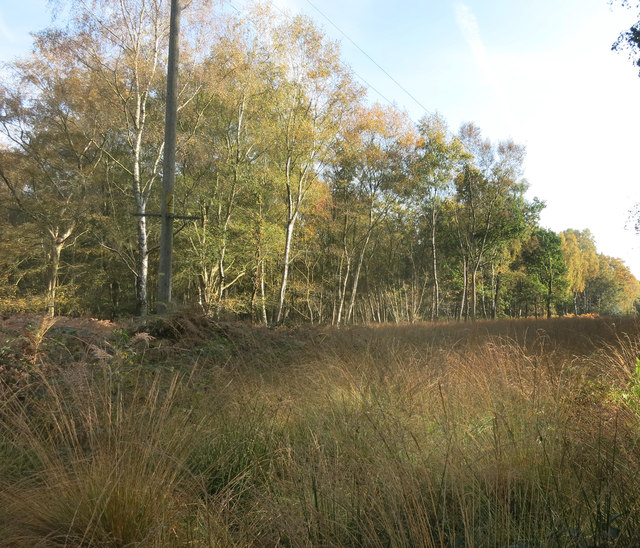
The gully is characterized by its steep slopes, which are covered with a variety of vegetation, including native trees such as oak and beech, as well as vibrant wildflowers that bloom in the spring and summer months. The dense foliage provides a natural shelter and creates a sense of seclusion, making it a perfect spot for nature lovers and hikers who seek solitude and peace.
A small stream meanders through the valley, adding to its charm and creating a soothing soundtrack of babbling water. The stream is home to various aquatic species, including trout and small freshwater crustaceans, making it a popular spot for fishing enthusiasts.
Beddings Gully is also known for its diverse wildlife population, with sightings of deer, foxes, and numerous bird species being quite common. The valley is a haven for birdwatchers, who can spot species such as woodpeckers, owls, and warblers among the branches of the towering trees.
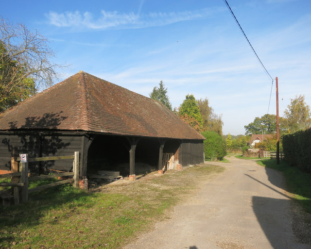
Visitors to Beddings Gully can explore the area through a network of well-maintained walking trails, which offer breathtaking views of the surrounding countryside. The trails vary in difficulty, catering to both casual walkers and more experienced hikers.
Overall, Beddings Gully is a hidden gem in Berkshire, offering a perfect blend of natural beauty, tranquility, and opportunities for outdoor activities.
If you have any feedback on the listing, please let us know in the comments section below.
Beddings Gully Images
Images are sourced within 2km of 51.420995/-1.1812317 or Grid Reference SU5769. Thanks to Geograph Open Source API. All images are credited.


Beddings Gully is located at Grid Ref: SU5769 (Lat: 51.420995, Lng: -1.1812317)
Unitary Authority: West Berkshire
Police Authority: Thames Valley
What 3 Words
///liner.snails.difficult. Near Bradfield, Berkshire
Nearby Locations
Related Wikis

Chapel Row
Chapel Row is a hamlet in West Berkshire, England, and part of the civil parish of Bucklebury. In 2019 it had an estimated population of 627. == History... ==

The Bladebone Inn
The Bladebone Inn is a public house at Chapel Row in the civil parish of Bucklebury in the English county of Berkshire. == History == Records show that...

Bucklebury Common
Bucklebury Common is an elevated common consisting of woodland with a few relatively small clearings in the English county of Berkshire, within the civil...
King's Copse
King's Copse is a 13.7-hectare (34-acre) biological Site of Special Scientific Interest between Chapel Row and Clay Hill in Berkshire. It is in the North...

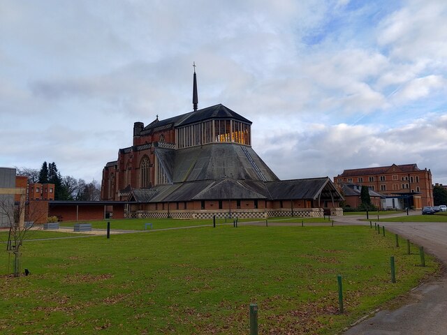
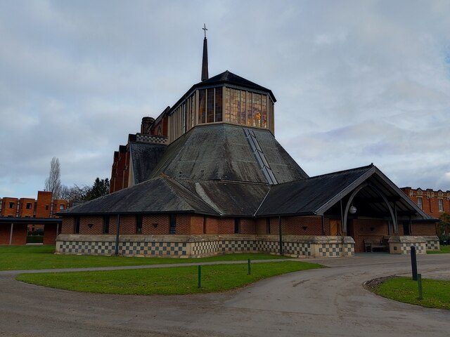
Douai Abbey
Douai Abbey is a Benedictine Abbey at Upper Woolhampton, near Thatcham, in the English county of Berkshire, situated within the Roman Catholic Diocese...

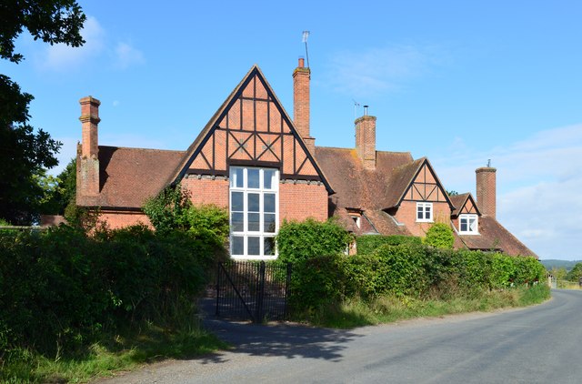
Bucklebury Manor
Bucklebury Manor is a Grade II listed manor house in the civil parish of Bucklebury in the English county of Berkshire. Since 2012, it has been the home...

Midgham Green
Midgham Green is a hamlet in the civil parish of Midgham in the English county of Berkshire. The settlement lies near to the A4 road and is located approximately...

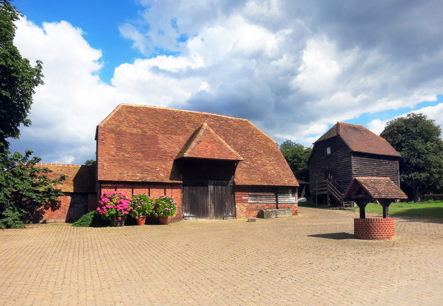
Bucklebury Farm Park
Bucklebury Farm Park is an animal park located in Bucklebury in Berkshire, England. The Farm Park consists of mostly Animals, Play equipment, Deer and...
Nearby Amenities
Located within 500m of 51.420995,-1.1812317Have you been to Beddings Gully?
Leave your review of Beddings Gully below (or comments, questions and feedback).