Chippings Gully

Valley in Hampshire Basingstoke and Deane

England

Chippings Gully

Farmland, Wheat Hold, Hampshire
Farmland, Wheat Hold, Hampshire Credit: Oswald Bertram

Chippings Gully is a picturesque valley located in Hampshire, England. It is situated on the outskirts of the town of Winchester, nestled among the rolling hills and countryside that characterizes the region. The gully stretches over a length of approximately 2 miles and is known for its natural beauty and tranquil atmosphere.

The valley is flanked by lush greenery, with a variety of trees and plants lining its slopes. The Chippings River meanders through the gully, adding to the charm and serenity of the area. The river is a tributary of the River Itchen, which eventually flows into the Southampton Water.

Chippings Gully is a haven for nature lovers and outdoor enthusiasts. The valley offers numerous walking and hiking trails, allowing visitors to explore its scenic surroundings. Along the paths, one can encounter an array of wildlife, including birds, squirrels, and various species of insects.

The gully is also home to several species of wildflowers, which bloom in vibrant colors during the spring and summer months, creating a stunning visual display. This makes it a popular destination for photographers and nature enthusiasts seeking to capture the beauty of the natural landscape.

In addition to its natural attractions, Chippings Gully boasts historical significance. It is believed to have been formed during the last ice age, and archaeological remains have been discovered in the area, including flint tools and pottery fragments, providing insights into the region's ancient past.

Overall, Chippings Gully offers a peaceful retreat from the hustle and bustle of everyday life, showcasing the beauty of Hampshire's countryside and providing a glimpse into its rich history.

If you have any feedback on the listing, please let us know in the comments section below.

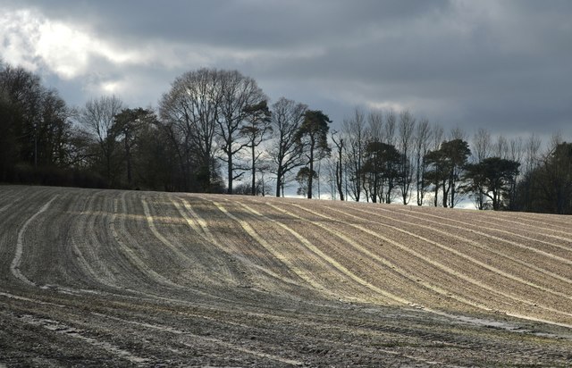
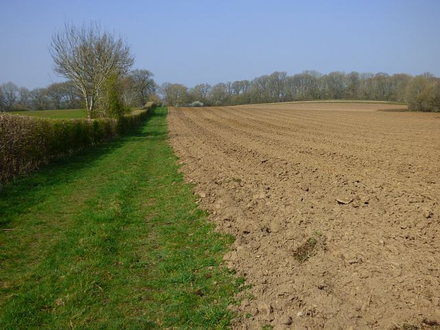
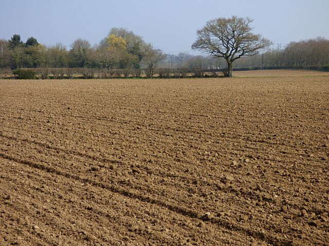
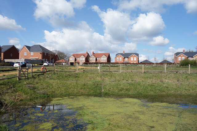
Chippings Gully Images

Images are sourced within 2km of 51.355667/-1.2204104 or Grid Reference SU5462. Thanks to Geograph Open Source API. All images are credited.

Farmland, Wheat Hold, Hampshire
Winter, Ashford Hill, Hampshire
Butlers Garden Machinery, Ashford Hill This was shared with Murray's garage a few years ago including petrol pumps but they took it all over and the pumps are now abandoned.
Butlers Garden Machinery, Ashford Hill
This was shared with Murray's garage a few years ago including petrol pumps but they took it all over and the pumps are now abandoned.
Little Knowl Hill, Ashford Hill
The Ship Inn, Ashford Hill
Track and pasture beside the River Enborne, Ashford Hill A footpath diverges from the riverbank through the gate on the left.
Track and pasture beside the River Enborne, Ashford Hill
A footpath diverges from the riverbank through the gate on the left.
Farmland, Kingsclere A slightly rerouted public footpath now follows this edge of a field, which was in the process of being ploughed.
Farmland, Kingsclere
A slightly rerouted public footpath now follows this edge of a field, which was in the process of being ploughed.
Farmland, Ashford Hill Recently cultivated and sown with barley, fields to the north of Plastow Green.
Farmland, Ashford Hill
Recently cultivated and sown with barley, fields to the north of Plastow Green.
Farmland, Headley Pasture in the valley of the Kingsclere Brook.
Farmland, Headley
Pasture in the valley of the Kingsclere Brook.
Entrance to Spradbray House Spradbray Lane is a named bridleway which passes the house and then heads off into the fields.
Entrance to Spradbray House
Spradbray Lane is a named bridleway which passes the house and then heads off into the fields.
Kingsclere STW A Thames Water sewage treatment works along Union Lane north of Kingsclere.
Kingsclere STW
A Thames Water sewage treatment works along Union Lane north of Kingsclere.
Footbridge over the Kingsclere Brook
Pond by Oakfield Lane A holding pond for run-off water from a new housing development.
Pond by Oakfield Lane
A holding pond for run-off water from a new housing development.
Oakfield Lane, Ashford Hill A new housing development off Ashford Hill Road.
Oakfield Lane, Ashford Hill
A new housing development off Ashford Hill Road.
Old Phone Box at a Closed Pub A bit of a sad scene all round outside the Ship Inn. The pub looks to be closed, the car park is coned off and this poor old phone box with its broken windows is slowly being pushed over by the willow tree next to it.
Old Phone Box at a Closed Pub
A bit of a sad scene all round outside the Ship Inn. The pub looks to be closed, the car park is coned off and this poor old phone box with its broken windows is slowly being pushed over by the willow tree next to it.
I'm Not Speeding A speed sensing screen beside the B3051 in Ashford Hill.
I'm Not Speeding
A speed sensing screen beside the B3051 in Ashford Hill.
Old Lane, Ashford Hill Serving a few houses at this end and continuing as a bridleway and part of the Brenda Parker Way ldp.
Old Lane, Ashford Hill
Serving a few houses at this end and continuing as a bridleway and part of the Brenda Parker Way ldp.
Footpath opposite the Ship Inn
Show me another place!

Chippings Gully is located at Grid Ref: SU5462 (Lat: 51.355667, Lng: -1.2204104)

Administrative County: Hampshire

District: Basingstoke and Deane

Police Authority: Hampshire

What 3 Words

///hikes.estimated.boomers. Near Kingsclere, Hampshire

Nearby Locations

Chippings Gully

Related Wikis

Ashford Hill with Headley

Ashford Hill with Headley is a civil parish in the Basingstoke and Deane district of Hampshire, England. The parish includes Ashford Hill, Plastow Green...

Plastow Green

Plastow Green is a hamlet in north Hampshire, England. == Governance == The hamlet is part of the civil parish of Ashford Hill with Headley, and is part...

Ashford Hill

Ashford Hill is a village in Basingstoke and Deane, Hampshire, England. == Governance == The village of Ashford Hill is part of the civil parish of Ashford...

Ashford Hill NNR

Ashford Hill is a British national nature reserve next to the village of Ashford Hill in Hampshire. Part of the reserve is a designated a Site of Special...

Nearby Amenities

Located within 500m of 51.355667,-1.2204104
Power: tower
Lat/Long: 51.35666/-1.2179453
Tuckers Hill Farm
Landuse: farm
Note Retag: CS #48756035
Lat/Long: 51.3549616/-1.2146197
Bus Stop
Ashford Hill Church
Naptan AtcoCode: 1900HA010568
Naptan Bearing: SE
Naptan CommonName: Ashford Hill Church
Naptan Crossing: Woodhouse Lane
Naptan NaptanCode: hamdpadt
Naptan Street: Ashford Hill Road
Naptan Verified: no
Source: naptan_import
Lat/Long: 51.3565275/-1.2140322
Bus Stop
Ashford Hill Church
Naptan AtcoCode: 1900HA010569
Naptan Bearing: NW
Naptan CommonName: Ashford Hill Church
Naptan Crossing: Woodhouse Lane
Naptan NaptanCode: hamdpadp
Naptan Street: Ashford Hill Road
Naptan Verified: no
Source: naptan_import
Lat/Long: 51.3564827/-1.2140617
Bus Stop
Riddings Lane
Naptan AtcoCode: 1900HA010570
Naptan Bearing: SE
Naptan CommonName: Riddings Lane
Naptan Crossing: Hill House Lane
Naptan NaptanCode: hamdmtwp
Naptan Street: Ashford Hill Road
Naptan Verified: no
Source: naptan_import
Lat/Long: 51.3596129/-1.2236455
Bus Stop
Riddings Lane
Naptan AtcoCode: 1900HA010571
Naptan Bearing: NW
Naptan CommonName: Riddings Lane
Naptan Crossing: Hillhouse Lane
Naptan NaptanCode: hamdmtwg
Naptan Street: Ashford Hill Road
Naptan Verified: no
Source: naptan_import
Lat/Long: 51.3595594/-1.2237039
Barrier: stile
Lat/Long: 51.3516428/-1.2215646
Power: tower
Lat/Long: 51.35194/-1.2232727
Power: tower
Lat/Long: 51.3544429/-1.2204478
Woodlands Park Farm
Landuse: farm
Note Retag: CS #48756035
Source: OS_OpenData_StreetView
Lat/Long: 51.354062/-1.218951
The White Cottage
Addr Housename: The White Cottage
Building: house
Source: OS_OpenData_StreetView
Lat/Long: 51.3513752/-1.2223789
Power: pole
Lat/Long: 51.3539763/-1.2249917
Power: pole
Lat/Long: 51.3550265/-1.2253887
Power: pole
Lat/Long: 51.3560114/-1.2257427
Power: pole
Lat/Long: 51.3574653/-1.2262845
Power: pole
Lat/Long: 51.3549947/-1.2195173
Power: pole
Lat/Long: 51.3556714/-1.2203836
Power: pole
Lat/Long: 51.3568958/-1.2222102
Power: pole
Lat/Long: 51.3573916/-1.2234306
Power: pole
Lat/Long: 51.3577685/-1.2246242
Power: pole
Lat/Long: 51.358152/-1.2259224
The data included in this document is from www.openstreetmap.org. The data is made available under ODbL.

Have you been to Chippings Gully?

Leave your review of Chippings Gully below (or comments, questions and feedback).