Brushwood Gully

Valley in Berkshire

England

Brushwood Gully

Greenham Common Part of the leisure complex built on the old Greenham Common Airbase.
Greenham Common Credit: Brendan and Ruth McCartney

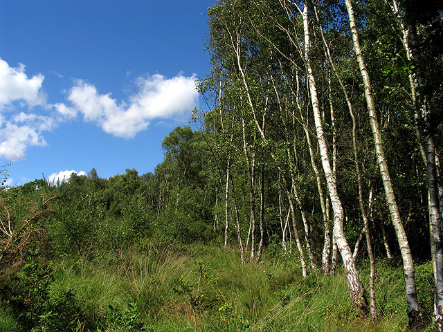
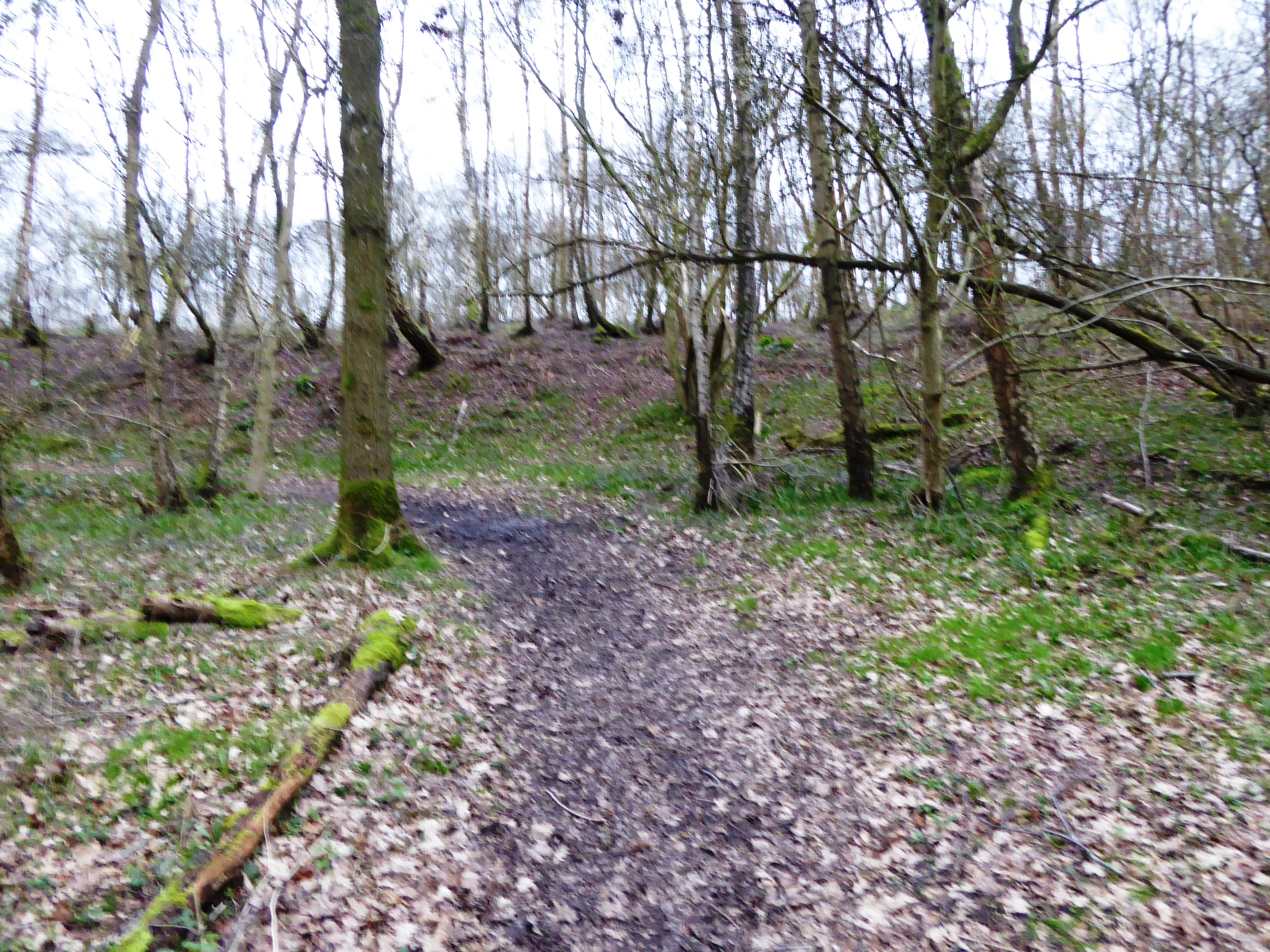
Brushwood Gully, located in Berkshire, England, is a picturesque valley renowned for its natural beauty and rich biodiversity. Nestled between rolling hills and dense woodlands, this tranquil haven offers a wide range of recreational activities and opportunities for nature lovers.

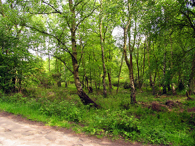
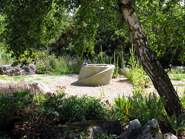
The gully is characterized by its lush vegetation, consisting of a diverse array of trees, including oak, beech, and birch, which provide a stunning tapestry of colors during the autumn months. The valley floor is adorned with a carpet of wildflowers, with bluebells, primroses, and daffodils painting the landscape in vibrant hues.

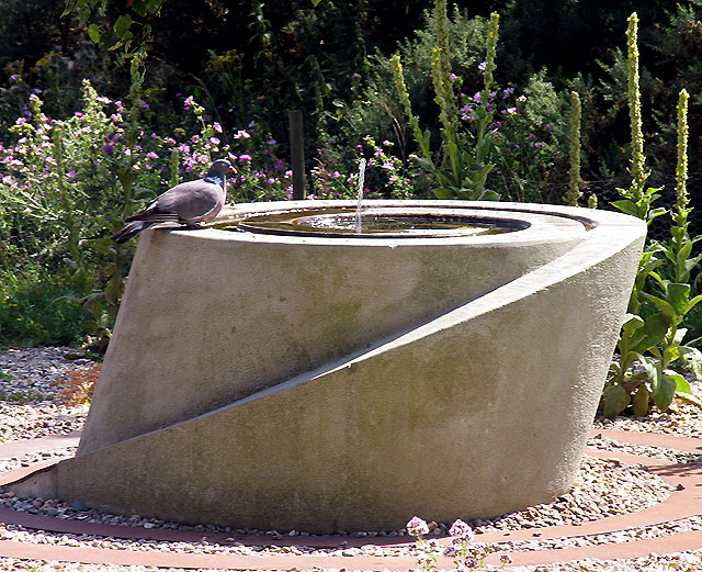
The gully is traversed by a meandering stream, which adds to its enchanting charm. The stream is home to a variety of aquatic wildlife, such as trout and water voles, making it a popular spot for fishing and wildlife observation. The crystal-clear waters also serve as a refreshing spot for locals and tourists to cool off during the summer months.

For hikers and outdoor enthusiasts, Brushwood Gully offers an extensive network of trails that wind through its verdant hills and valleys. These trails provide breathtaking views of the surrounding countryside and are suitable for all levels of fitness, from leisurely strolls to more challenging hikes.

In addition to its natural wonders, the gully is also home to a diverse range of wildlife, including deer, foxes, and a plethora of bird species. This makes it an ideal location for birdwatching and wildlife photography.

Overall, Brushwood Gully in Berkshire is a true gem, offering visitors a chance to immerse themselves in the beauty of nature and experience the tranquility of this idyllic valley.

If you have any feedback on the listing, please let us know in the comments section below.

Brushwood Gully Images

Images are sourced within 2km of 51.374046/-1.2591906 or Grid Reference SU5164. Thanks to Geograph Open Source API. All images are credited.

Greenham Common Part of the leisure complex built on the old Greenham Common Airbase.
Greenham Common
Part of the leisure complex built on the old Greenham Common Airbase.
Greenham Common The disused Control Tower building at the now derelict Greenham Common Airbase.
Greenham Common
The disused Control Tower building at the now derelict Greenham Common Airbase.
Little Meadows: Headley This driveway and pond is situated in the north western section of the square, north of the road that runs across the square from west to east and quite close to the edge of the square. The pond is marked on the ordnance map.
Little Meadows: Headley
This driveway and pond is situated in the north western section of the square, north of the road that runs across the square from west to east and quite close to the edge of the square. The pond is marked on the ordnance map.
Chamberhouse Farm The bridge crossing the river is on the eastern edge of the grid square. This picture of the river was taken from the bridge looking west towards the centre of the grid square.
Chamberhouse Farm
The bridge crossing the river is on the eastern edge of the grid square. This picture of the river was taken from the bridge looking west towards the centre of the grid square.
Crookham Common A view of this flat sparsely vegetated common from  the north west corner of the grid square looking more or less south east. Crookham and Greenham commons are situated adjacent to each other forming one very large flat area. Cattle grids have recently been installed along the road so are not indicated on the OS Map.
Crookham Common
A view of this flat sparsely vegetated common from the north west corner of the grid square looking more or less south east. Crookham and Greenham commons are situated adjacent to each other forming one very large flat area. Cattle grids have recently been installed along the road so are not indicated on the OS Map.
Greenham Common This section of the common is in the northern half of the grid square south east of the control tower. The picture was taken  looking south.
Greenham Common
This section of the common is in the northern half of the grid square south east of the control tower. The picture was taken looking south.
Chamberhouse Farm House The farmhouse is situated on the western edge of the grid square and most of the grid square is farmland.
Chamberhouse Farm House
The farmhouse is situated on the western edge of the grid square and most of the grid square is farmland.
Rapeseed Farmland and Highfield Copse The copse in the distance in the picture is situated in the eastern half of the grid square. This grid square is largely copse and farmland. The foreground is farmland.
Rapeseed Farmland and Highfield Copse
The copse in the distance in the picture is situated in the eastern half of the grid square. This grid square is largely copse and farmland. The foreground is farmland.
Crookham, Greenham and Stroud Green Commons These three commons are combined to make one very large area of common land which is not public property, but is made available for the use of the public. This section is situated in the middle of the lower half of the square.
Crookham, Greenham and Stroud Green Commons
These three commons are combined to make one very large area of common land which is not public property, but is made available for the use of the public. This section is situated in the middle of the lower half of the square.
Greenham, Crookham and Stroud Green Commons This section of the commons is quite wooded in comparison to Greenham and Crookham Commons which are flat and generally quite sparsely vegetated. This section is in the south western section of the grid square.
Greenham, Crookham and Stroud Green Commons
This section of the commons is quite wooded in comparison to Greenham and Crookham Commons which are flat and generally quite sparsely vegetated. This section is in the south western section of the grid square.
The Travellers Friend The pub, situated in the south eastern section of the grid square on the north side of the road and east of the caravan park is currently undergoing extension. This grid square is residential and farmland.
The Travellers Friend
The pub, situated in the south eastern section of the grid square on the north side of the road and east of the caravan park is currently undergoing extension. This grid square is residential and farmland.
Farmland This farmland, situated between Limberlost and Highfield Farms, contains quite a few corrugated iron barn structures and is situated in the north western quadrant of the square.
Farmland
This farmland, situated between Limberlost and Highfield Farms, contains quite a few corrugated iron barn structures and is situated in the north western quadrant of the square.
Helen Thomas Memorial Peace Garden Helen Thomas, an activist, died outside the main gates of Greenham Common Airbase at the Women's Peace Camp. She died in an incident involving a West Midlands Police horsebox on August the 5th, 1989. Helen would have set an historical precedent on August the 18th when she would have been the first person to have been tried in an English court in Welsh, her first language.
Helen Thomas Memorial Peace Garden
Helen Thomas, an activist, died outside the main gates of Greenham Common Airbase at the Women's Peace Camp. She died in an incident involving a West Midlands Police horsebox on August the 5th, 1989. Helen would have set an historical precedent on August the 18th when she would have been the first person to have been tried in an English court in Welsh, her first language.
Dove and Fountain: Peace Garden This dove was peacefully drinking water in this garden, on the edge of the Greenham Business Park. Helen Thomas was an activist and died at the Greenham Women's Peace camp by a police horse box the day before she was due to stand trial.
Dove and Fountain: Peace Garden
This dove was peacefully drinking water in this garden, on the edge of the Greenham Business Park. Helen Thomas was an activist and died at the Greenham Women's Peace camp by a police horse box the day before she was due to stand trial.
Entrance to the New Greenham Park This business park is situated across a couple of squares. This entrance, near the memorial garden is in the northern half of the square. The square is characterised by commercial enterprises, farmland, residences, recreational facilities and the Peace Garden.
Entrance to the New Greenham Park
This business park is situated across a couple of squares. This entrance, near the memorial garden is in the northern half of the square. The square is characterised by commercial enterprises, farmland, residences, recreational facilities and the Peace Garden.
Warehouse Road: New Greenham Park This square consists of Greenham Common, the business park and some copses.
Warehouse Road: New Greenham Park
This square consists of Greenham Common, the business park and some copses.
Silver Birch Woodland: Greenham This square is mostly woodland/plantation and farmland. The A339 also runs across the northern half of the square. This view of these silver birches is west of the lane that runs south off the roundabout in the north eastern corner of the square.
Silver Birch Woodland: Greenham
This square is mostly woodland/plantation and farmland. The A339 also runs across the northern half of the square. This view of these silver birches is west of the lane that runs south off the roundabout in the north eastern corner of the square.
Headley Common and Football Ground This square contains the village of Headley and mostly farmland. This common and village football ground, is in the corner of the triangle formed by the A339 and the two minor roads in the north eastern section of the square.
Headley Common and Football Ground
This square contains the village of Headley and mostly farmland. This common and village football ground, is in the corner of the triangle formed by the A339 and the two minor roads in the north eastern section of the square.
Show me another place!

Brushwood Gully is located at Grid Ref: SU5164 (Lat: 51.374046, Lng: -1.2591906)

Unitary Authority: West Berkshire

Police Authority: Thames Valley

What 3 Words

///humidity.olive.passively. Near Thatcham, Berkshire

Related Wikis

Heads Hill

Heads Hill is a hamlet on Crookham Common in the civil parish of Thatcham in the English county of Berkshire. It lies near to the A339 road off Thornford...

Greenham Common Women's Peace Camp

Greenham Common Women's Peace Camp was a series of protest camps established to protest against nuclear weapons being placed at RAF Greenham Common in...

Bowdown and Chamberhouse Woods

Bowdown and Chamberhouse Woods is a 67.9-hectare (168-acre) biological Site of Special Scientific Interest south of Thatcham in Berkshire. An area of 55...

Greenham Preceptory

Greenham Preceptory was a preceptory of Knights Hospitaller at Greenham in the English county of Berkshire.The preceptory was established in 1199 and dissolved...

Greenham and Crookham Commons

Greenham and Crookham Commons are two adjoining public park areas of 280.5-hectare (693-acre) common land designated as a biological Site of Special Scientific...

RAF Greenham Common

Royal Air Force Greenham Common or more simply RAF Greenham Common is a former Royal Air Force station in the civil parishes of Greenham and Thatcham in...

Bishop's Green

Bishops Green is a village in the English county of Hampshire, on the border with Berkshire. == History == Bishops Green expanded greatly during World...

Crookham, Berkshire

Crookham is a dispersed hamlet in the English county of Berkshire, and part of the civil parish of Thatcham. == Geography == The settlement lies near...

Nearby Amenities

Located within 500m of 51.374046,-1.2591906
Ford: yes
Lat/Long: 51.3715899/-1.2534417
Barrier: cattle_grid
Lat/Long: 51.3732962/-1.2639067
Post Box
Collection Times: Mo-Fr 16:30; Sa 09:30
Drive Through: no
Operator: Royal Mail
Post Box Type: lamp
Postal Code: RG19
Ref: RG19 253
Royal Cypher: EIIR
Royal Cypher Wikidata: Q33102113
Lat/Long: 51.3720497/-1.2624295
Foxhold Farm
Name Kw: Tollowarn
Place: farm
Lat/Long: 51.3732306/-1.2632162
Bench
Backrest: yes
Inscription: One of the three benches, presented by the 1978 Greenham Common Campaign against the KC135 refuelling tnakers, in the Summer of 2012.
Material: wood
Seats: 4
Lat/Long: 51.3755946/-1.2591203
The data included in this document is from www.openstreetmap.org. The data is made available under ODbL.

Have you been to Brushwood Gully?

Leave your review of Brushwood Gully below (or comments, questions and feedback).