Westrop Gully

Valley in Berkshire

England

Westrop Gully

Gate at Fishers Lane This is where the Didcot Newbury and Southampton railway used to run at Fishers Lane crossing towards Hermitage, the land is now privately owned.
Gate at Fishers Lane Credit: Bill Nicholls

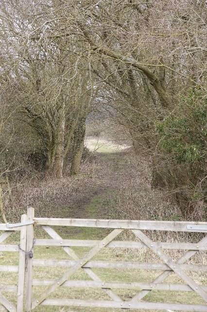
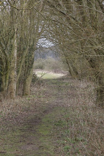
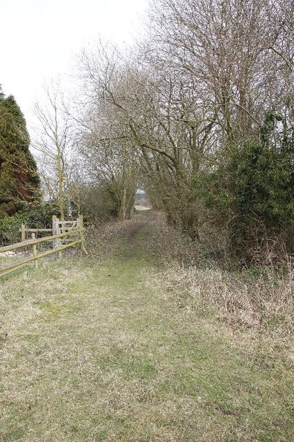
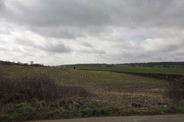
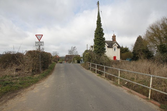
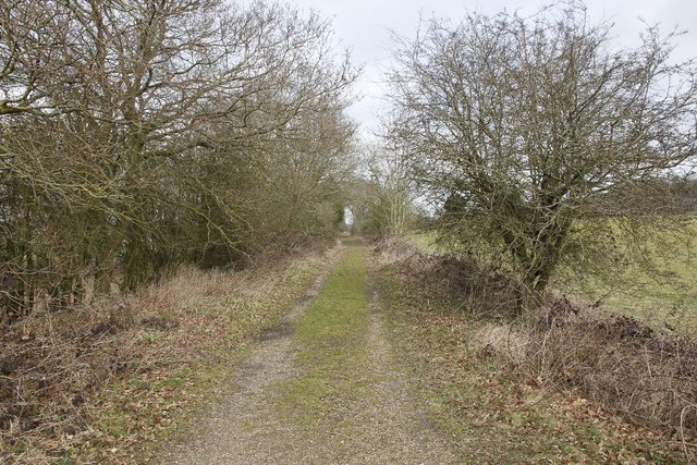
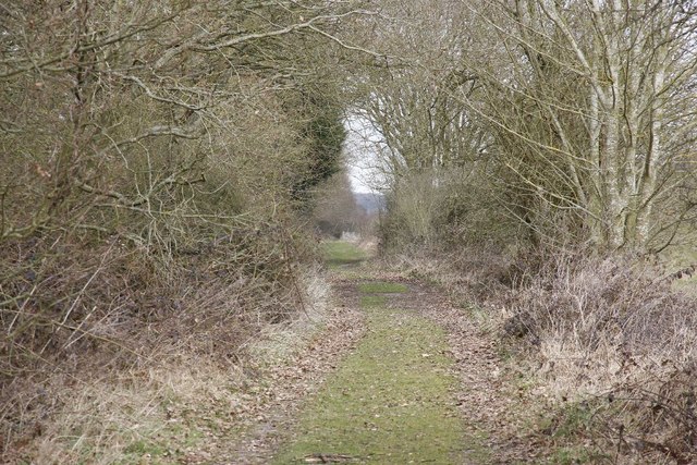
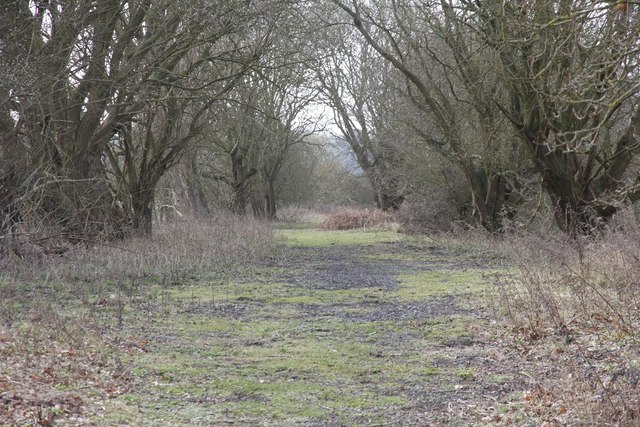
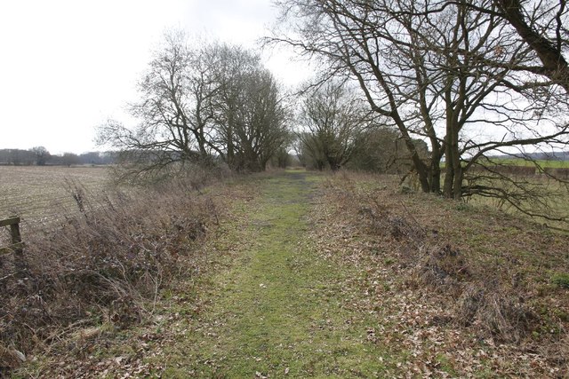
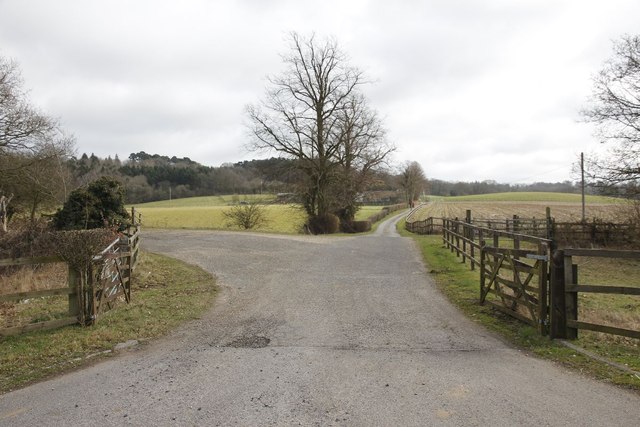
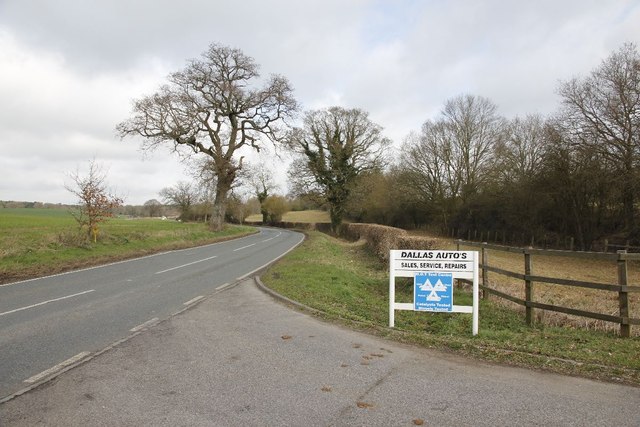
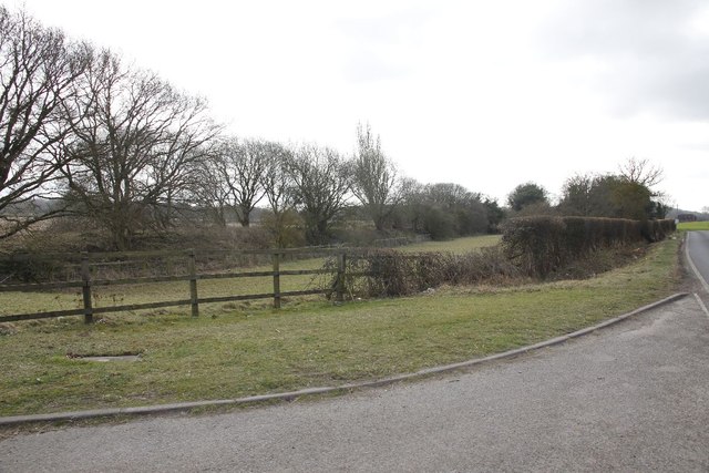
Westrop Gully is a picturesque valley located in Berkshire, England. Nestled amidst the rolling hills and lush greenery of the county, this gully stretches for approximately 1.5 kilometers in length. It is situated near the village of Westrop, which lends its name to the gully.

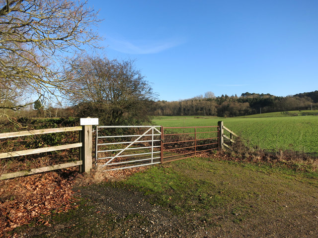
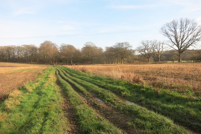
The gully is characterized by its steep-sided slopes and meandering stream, which flows through the heart of the valley. The stream is fed by natural springs and rainfall, ensuring a constant flow of water throughout the year. The crystal-clear waters of the stream are home to various species of fish and aquatic life, making it a popular spot for nature enthusiasts and anglers alike.

The surrounding landscape of Westrop Gully is abundant with diverse flora and fauna. The valley is adorned with a rich tapestry of trees, including oak, beech, and ash, which provide a vibrant canopy overhead. Wildflowers and ferns carpet the valley floor, adding to the area's natural beauty and biodiversity.

Westrop Gully offers a tranquil escape from the hustle and bustle of urban life, attracting visitors who seek solace in nature. It is a haven for hikers, walkers, and birdwatchers who can explore the many footpaths and trails that crisscross the valley. The gully also provides opportunities for picnicking and photography, allowing visitors to immerse themselves in the serene surroundings.

Overall, Westrop Gully in Berkshire is a hidden gem that showcases the stunning natural beauty of the county. Its idyllic setting, diverse wildlife, and peaceful ambiance make it a must-visit destination for nature lovers and outdoor enthusiasts.

If you have any feedback on the listing, please let us know in the comments section below.

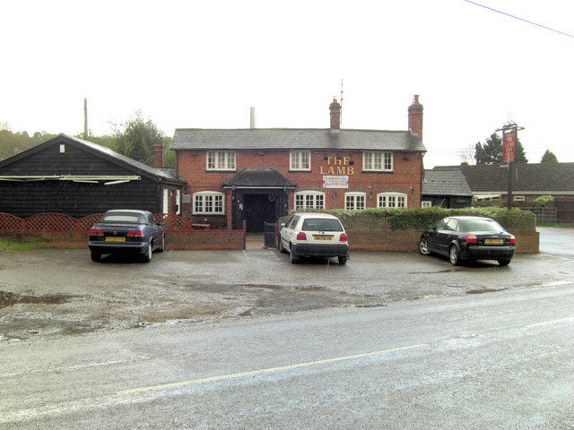
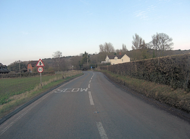
Westrop Gully Images

Images are sourced within 2km of 51.431708/-1.2616536 or Grid Reference SU5170. Thanks to Geograph Open Source API. All images are credited.

Gate at Fishers Lane This is where the Didcot Newbury and Southampton railway used to run at Fishers Lane crossing towards Hermitage, the land is now privately owned.
Gate at Fishers Lane
This is where the Didcot Newbury and Southampton railway used to run at Fishers Lane crossing towards Hermitage, the land is now privately owned.
Further down the track A zoomed shot of further along the track bed from the Didcot, Newbury and Southampton railway at Fishers Crossing.
Further down the track
A zoomed shot of further along the track bed from the Didcot, Newbury and Southampton railway at Fishers Crossing.
Gate in the fence The fence of a property bordering the old Didcot, Newbury and Southampton railway. The property was part of the gatekeeper's cottage.
Gate in the fence
The fence of a property bordering the old Didcot, Newbury and Southampton railway. The property was part of the gatekeeper's cottage.
Railway towards Newbury The view from Fishers lane crossing in the Newbury direction, looking here you would not realise the Didcot, Newbury and Southampton railway was here.
Railway towards Newbury
The view from Fishers lane crossing in the Newbury direction, looking here you would not realise the Didcot, Newbury and Southampton railway was here.
Towards the crossing View towards Fishers lane crossing, part of the old Didcot,Newbury and Southampton railway. The crossing is about where the rise is and to the right would have been the crossing signal box. The building in the distance was the crossing operatives house.
Towards the crossing
View towards Fishers lane crossing, part of the old Didcot,Newbury and Southampton railway. The crossing is about where the rise is and to the right would have been the crossing signal box. The building in the distance was the crossing operatives house.
In the hedge Had a quick look round for any signs of the railway and came across a piece of line, no doubt used in the fencing beside the crossing.
In the hedge
Had a quick look round for any signs of the railway and came across a piece of line, no doubt used in the fencing beside the crossing.
Line near Cold Ash Farm This is the remains of the line near Cold Ash Farm.
Line near Cold Ash Farm
This is the remains of the line near Cold Ash Farm.
Track at Cold Ash Farm Zooming in with the camera shows the track bed is still there and clear.
Track at Cold Ash Farm
Zooming in with the camera shows the track bed is still there and clear.
Towards Fishers lane Zoomed in view of the line looking towards Fishers Lane crossing from near Cold Ash farm
Towards Fishers lane
Zoomed in view of the line looking towards Fishers Lane crossing from near Cold Ash farm
Line towards Fishers lane Viewiof the trackbed looking towards Fishers Lane crossing from near Cold Ash Farm.
Line towards Fishers lane
Viewiof the trackbed looking towards Fishers Lane crossing from near Cold Ash Farm.
Cold Ash Farm Crossing Think this world have been a farm crossing for Cold Ash Farm along the former Didcot, Newbury and Southampton Railway.
Cold Ash Farm Crossing
Think this world have been a farm crossing for Cold Ash Farm along the former Didcot, Newbury and Southampton Railway.
Dallas Autos The sign stands at the entrance to Cold Ash Farm as we look towards Hermitage along the B4009.
Dallas Autos
The sign stands at the entrance to Cold Ash Farm as we look towards Hermitage along the B4009.
From the entrance View of the former Didcot, Newbury and Southampton railway as it heads off on the left towards Fishers Lane crossing. The B4009 can just be seen on the right.
From the entrance
View of the former Didcot, Newbury and Southampton railway as it heads off on the left towards Fishers Lane crossing. The B4009 can just be seen on the right.
The Lamb Inn Another country pub trying to curry favour.
The Lamb Inn
Another country pub trying to curry favour.
B4009 junction with Fisher's Lane
Land at Cold Ash Farm A mixture of farm and wood typical for this area.
The track beyond the gates is the bed of an old railway.
Land at Cold Ash Farm
A mixture of farm and wood typical for this area. The track beyond the gates is the bed of an old railway.
Bridleway to West Wood
Footpath near Cold Ash Common Between playing fields and the gardens of large houses in a woodland setting.
Footpath near Cold Ash Common
Between playing fields and the gardens of large houses in a woodland setting.
Show me another place!

Westrop Gully is located at Grid Ref: SU5170 (Lat: 51.431708, Lng: -1.2616536)

Unitary Authority: West Berkshire

Police Authority: Thames Valley

What 3 Words

///ordinary.towns.norms. Near Cold Ash, Berkshire

Related Wikis

Cold Ash

Cold Ash is a village and civil parish in West Berkshire centred 1 mile (1.6 km) from Thatcham and 2.5 miles (4 km) northeast of Newbury. == Geography... ==
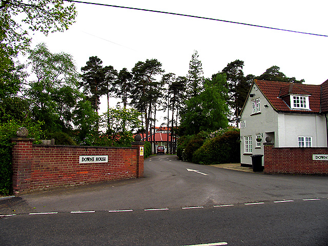
Downe House School

Downe House School is a selective independent girls' boarding and day school in Cold Ash, a village near Newbury, Berkshire, for girls aged 11–18.The Good...

Order of Silence

The Order of Silence (also known as The White Ladies) was a small Christian community based in Cold Ash, Berkshire between 1912 and 1921.Members of the...

Ashmore Green

Ashmore Green is a small hamlet in Berkshire, England. It is situated just to the west of the village of Cold Ash and to the north of Thatcham in the West...

Nearby Amenities

Located within 500m of 51.431708,-1.2616536
Turning Circle
Lat/Long: 51.4297057/-1.2670188
Entrance: yes
Wheelchair: yes
Lat/Long: 51.4300225/-1.2680761
The data included in this document is from www.openstreetmap.org. The data is made available under ODbL.

Have you been to Westrop Gully?

Leave your review of Westrop Gully below (or comments, questions and feedback).