Cherrytree Bottom
Valley in Oxfordshire West Oxfordshire
England
Cherrytree Bottom
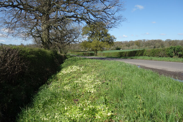
Cherrytree Bottom is a picturesque valley located in the county of Oxfordshire, England. Nestled amidst rolling hills and lush greenery, this idyllic landscape offers a serene retreat for nature enthusiasts and outdoor adventurers alike. The valley stretches over a vast area, encompassing several small villages and hamlets.
The name "Cherrytree Bottom" is derived from the abundance of cherry trees that line the valley, creating a stunning display of blossoms during the spring season. The area is also known for its diverse wildlife, with various bird species, deer, and other woodland creatures calling it home.
The valley is a haven for hikers and walkers, with numerous scenic trails crisscrossing the area. These trails offer breathtaking views of the surrounding countryside, and visitors can explore the meandering streams and babbling brooks that wind their way through the valley.
Cherrytree Bottom is also steeped in history, with several ancient landmarks and historic sites dotted throughout the area. The remains of a medieval castle can be found on one of the hillsides, offering a glimpse into the valley's rich past.
In terms of amenities, Cherrytree Bottom boasts a handful of charming country pubs and quaint tea rooms, where visitors can relax and enjoy a traditional English afternoon tea or sample locally brewed ales.
In essence, Cherrytree Bottom is a hidden gem in Oxfordshire, offering a perfect blend of natural beauty, tranquility, and historical charm. Whether it's exploring the scenic trails, immersing oneself in the local wildlife, or simply unwinding in a traditional pub, this valley has something to offer for everyone seeking an authentic English countryside experience.
If you have any feedback on the listing, please let us know in the comments section below.
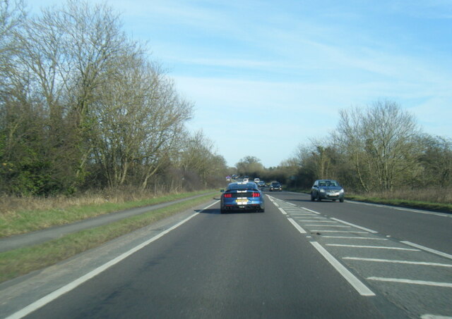
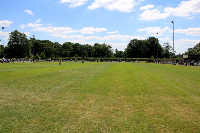
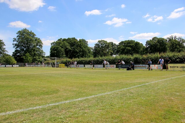
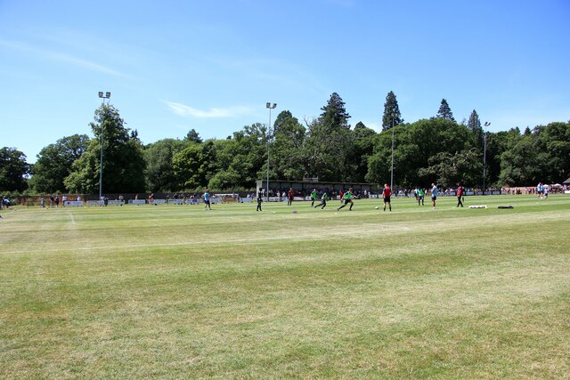
Cherrytree Bottom Images
Images are sourced within 2km of 51.802255/-1.4373346 or Grid Reference SP3811. Thanks to Geograph Open Source API. All images are credited.


Cherrytree Bottom is located at Grid Ref: SP3811 (Lat: 51.802255, Lng: -1.4373346)
Administrative County: Oxfordshire
District: West Oxfordshire
Police Authority: Thames Valley
What 3 Words
///slips.paddocks.agency. Near North Leigh, Oxfordshire
Nearby Locations
Related Wikis
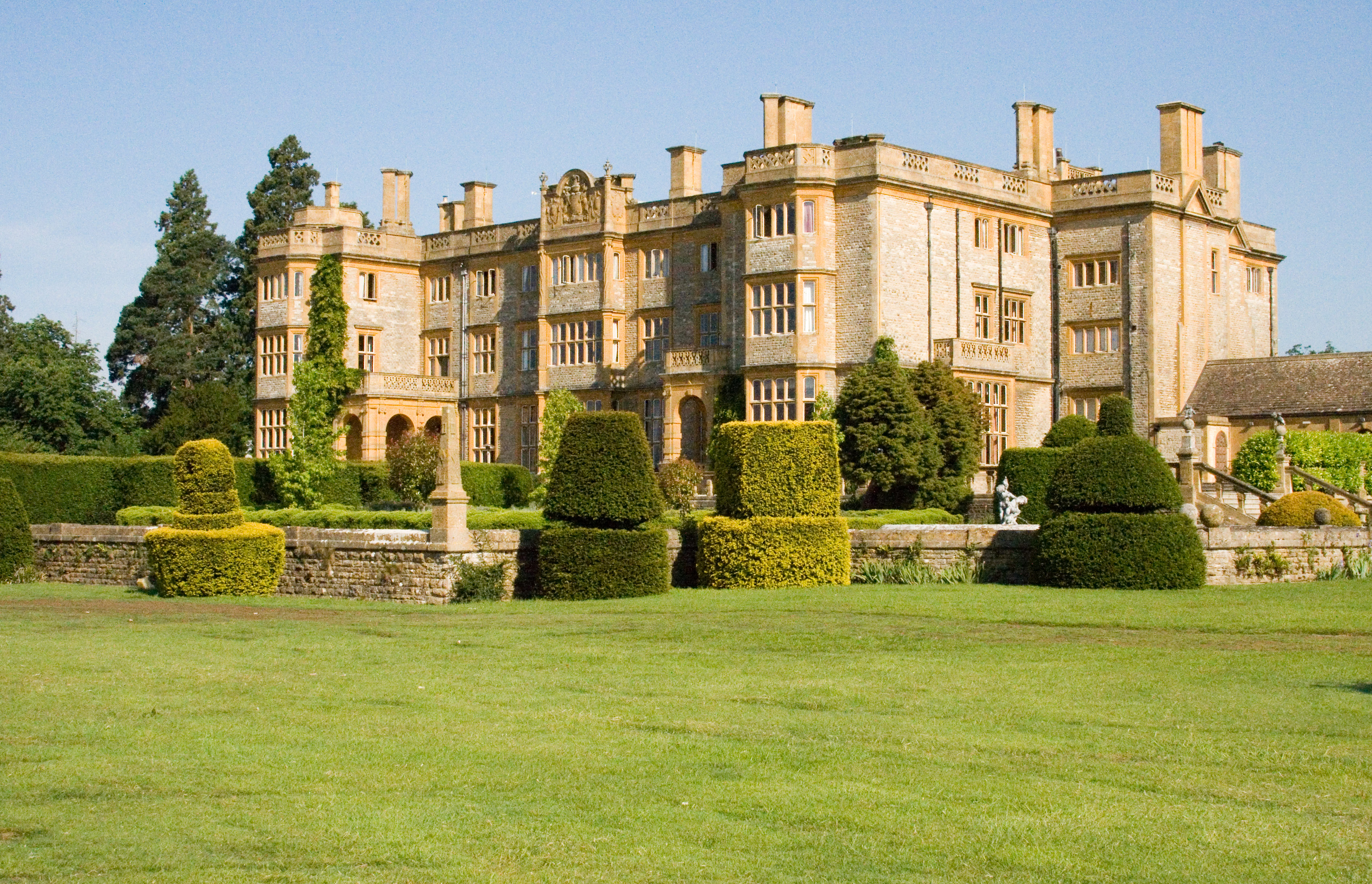
Eynsham Hall
Eynsham Hall (known commercially as Estelle Manor) is a Grade II listed mansion near North Leigh in Oxfordshire, England. The original house dating from...
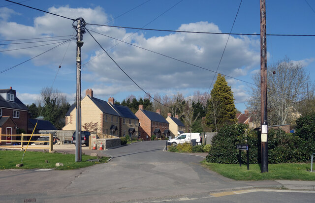
North Leigh
North Leigh is a village and civil parish about 3 miles (5 km) northeast of Witney in Oxfordshire. The parish includes the hamlet of East End and since...

North Leigh F.C.
North Leigh Football Club is a football club based in North Leigh, Oxfordshire, England. They are currently members of the Southern League Division One...
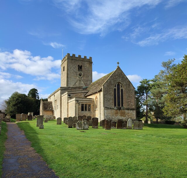
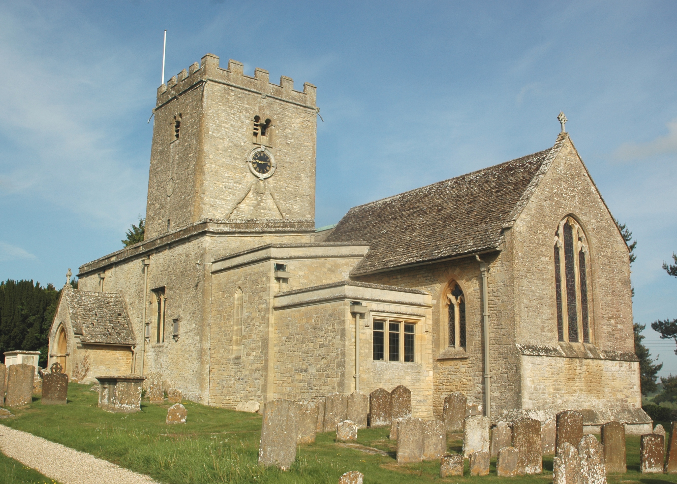
St Mary's Church, North Leigh
The Parish Church of Saint Mary, North Leigh is the Church of England parish church of North Leigh, a village about 3 miles (5 km) northeast of Witney...
Madley Park
Madley Park is a district on Madley Brook, a small tributary of the River Windrush in Witney, Oxfordshire. It comprises housing, schools and a community...
Tilgarsley
Tilgarsley was a village in Oxfordshire. It was recorded as existing in 1279 and was abandoned before 1350 as a result of the Black Death. It is thought...
King's School, Witney
The King's School is a co-educational independent Christian school in Witney, Oxfordshire, England that is part of Oxfordshire Community Churches (OCC...
Wood Green School
Wood Green School is a coeducational secondary school and sixth form located in Oxfordshire, England, which serves the traditional blanket making and historic...
Related Videos

Oxfordshire 4.3 mile circular walk: Holly Grove & Coneygar Copse
Holly Grove & Coneygar Copse - 4.3 mile circular walk Guided Walk: ...
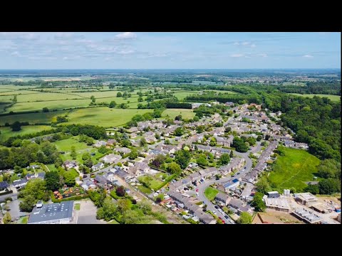
🇬🇧🏴 West Oxfordshire - North Leigh
North Leigh, West Oxfordshire, Oxfordshire, U.K..

🇬🇧🏴 West Oxfordshire - North Leigh
North Leigh, West Oxfordshire, Oxfordshire, U.K..

Post Match - James Keller - North Leigh 2-3 Aylesbury United
football #nonleague #interview.
Have you been to Cherrytree Bottom?
Leave your review of Cherrytree Bottom below (or comments, questions and feedback).