Newport Dene
Valley in Durham
England
Newport Dene

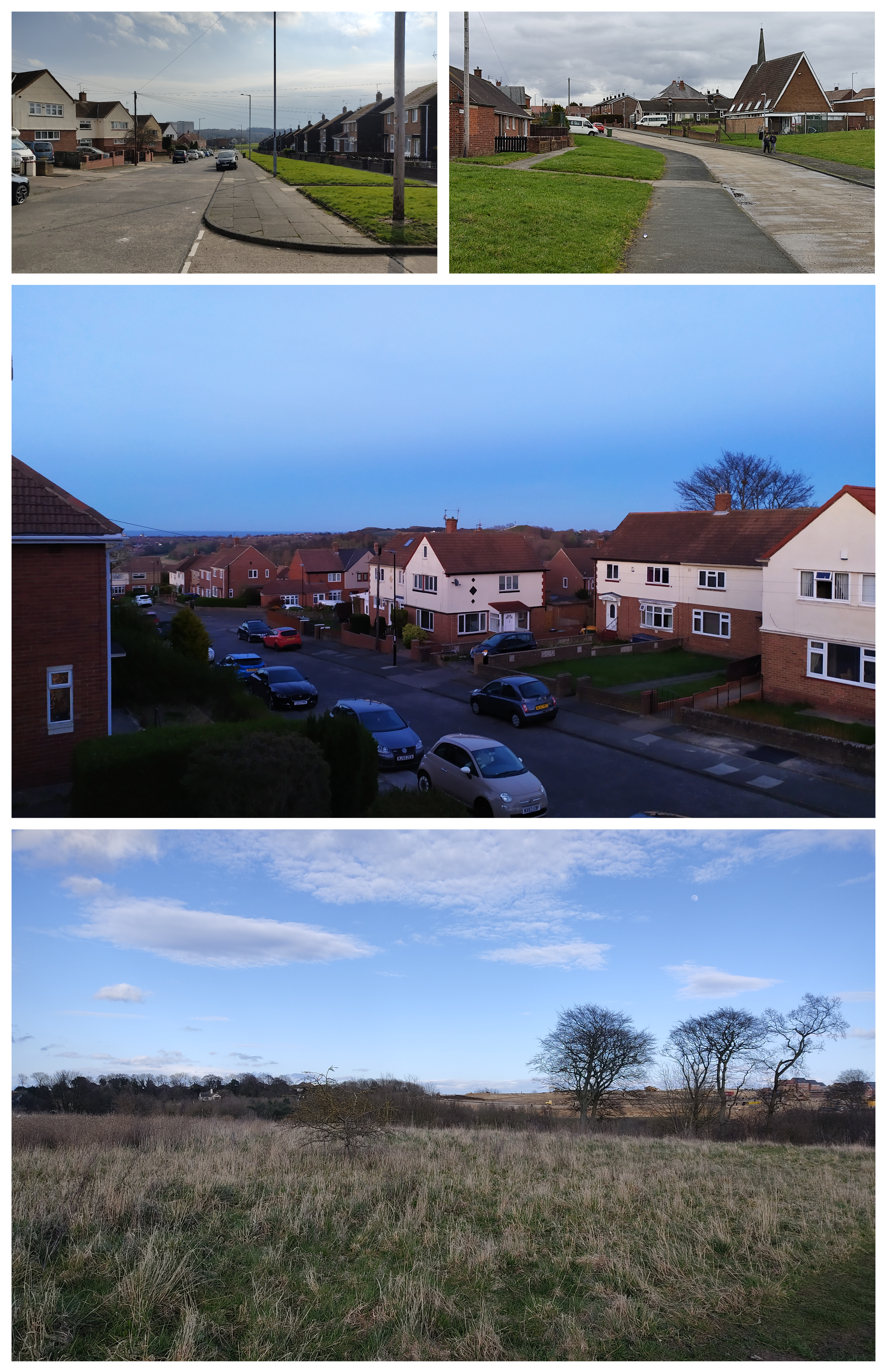
Newport Dene, also known as Durham Valley, is a small residential area located in Durham, a historic city in the northeastern part of England. Situated on the banks of the River Wear, Newport Dene offers picturesque views and a tranquil environment. The neighborhood is characterized by its natural beauty, with lush greenery, rolling hills, and charming cottages.
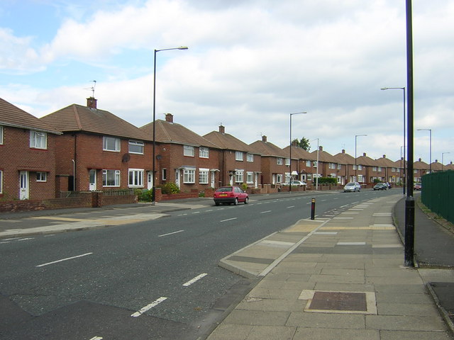
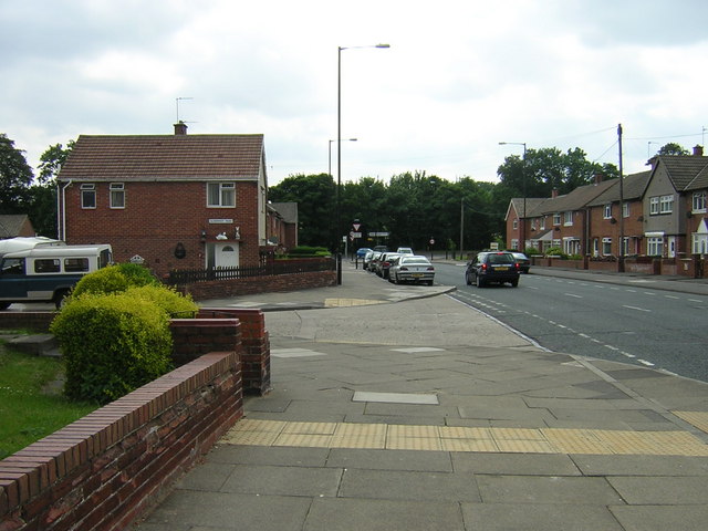
The community primarily consists of detached houses and semi-detached properties, making it an ideal location for families and professionals seeking a peaceful suburban lifestyle. The properties in Newport Dene are well-maintained and often feature spacious gardens, providing residents with ample outdoor space to enjoy.
In addition to its scenic surroundings, Newport Dene benefits from its proximity to a range of amenities and facilities. The nearby city center of Durham offers a wide selection of shops, restaurants, and entertainment venues, ensuring residents have easy access to all necessary conveniences. The area is also well-served by public transportation, with regular bus services connecting Newport Dene to other parts of Durham.
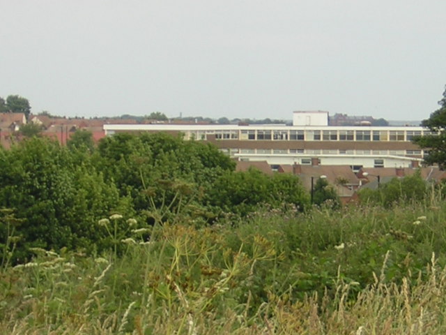
Newport Dene boasts excellent educational opportunities, with several highly regarded schools in the vicinity. Families with children can choose from a variety of primary and secondary schools, ensuring quality education is accessible.
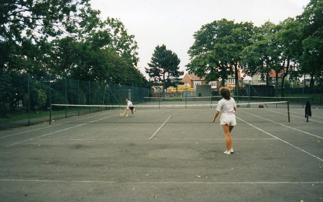
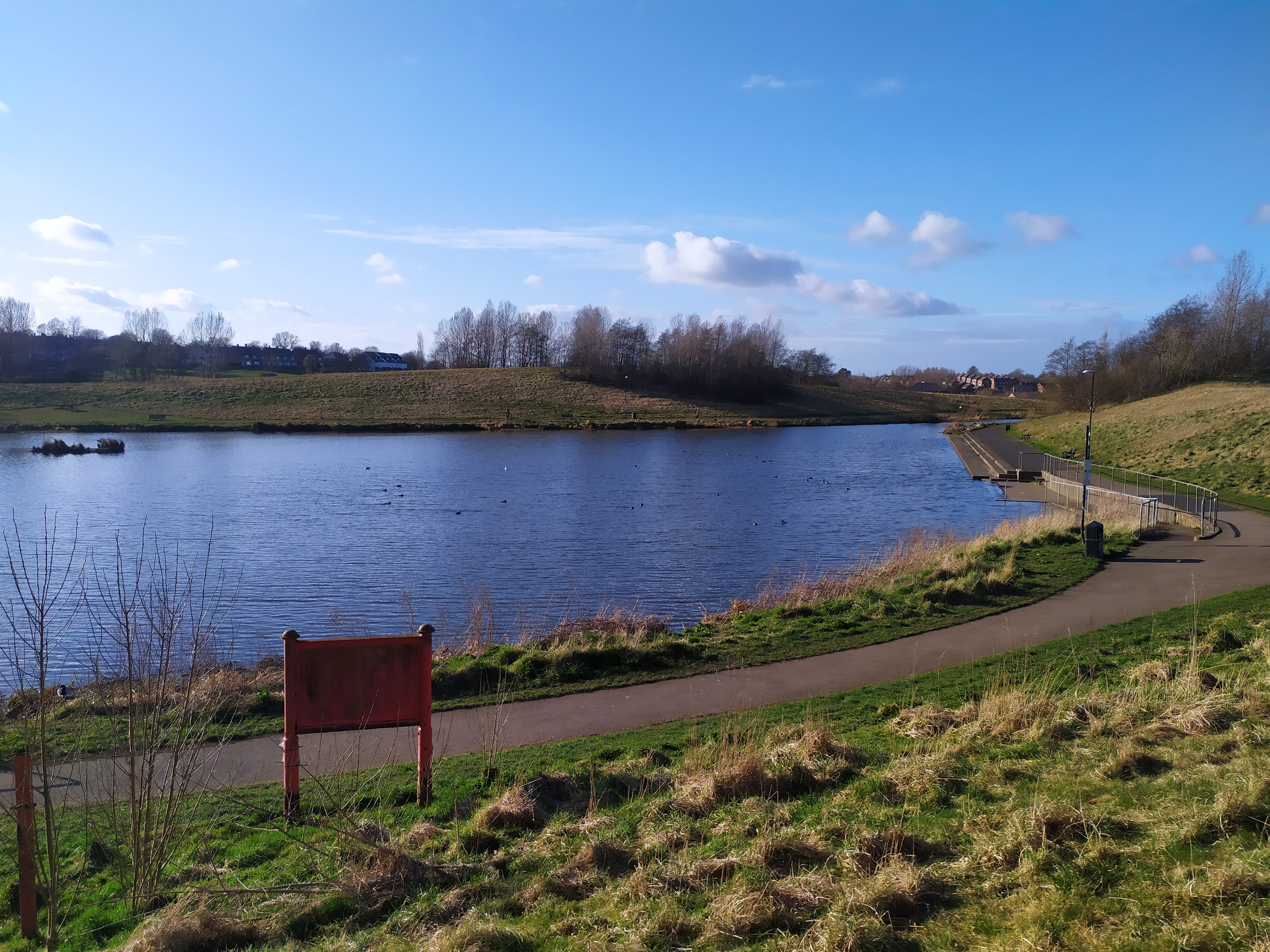
For those who enjoy outdoor activities, Newport Dene offers plenty of options. The area is situated close to the stunning Durham Heritage Coastline, providing opportunities for scenic walks, cycling, and picnics. Additionally, the nearby Durham Dales offer hiking trails, nature reserves, and historic landmarks to explore.
Overall, Newport Dene, Durham (Valley) offers residents a charming and peaceful place to call home, with its beautiful surroundings, convenient amenities, and access to outdoor recreational activities.
If you have any feedback on the listing, please let us know in the comments section below.
Newport Dene Images
Images are sourced within 2km of 54.880039/-1.4015814 or Grid Reference NZ3854. Thanks to Geograph Open Source API. All images are credited.


Newport Dene is located at Grid Ref: NZ3854 (Lat: 54.880039, Lng: -1.4015814)
Unitary Authority: Sunderland
Police Authority: Northumbria
What 3 Words
///ridge.jabs.dots. Near Ryhope, Tyne & Wear
Nearby Locations
Related Wikis
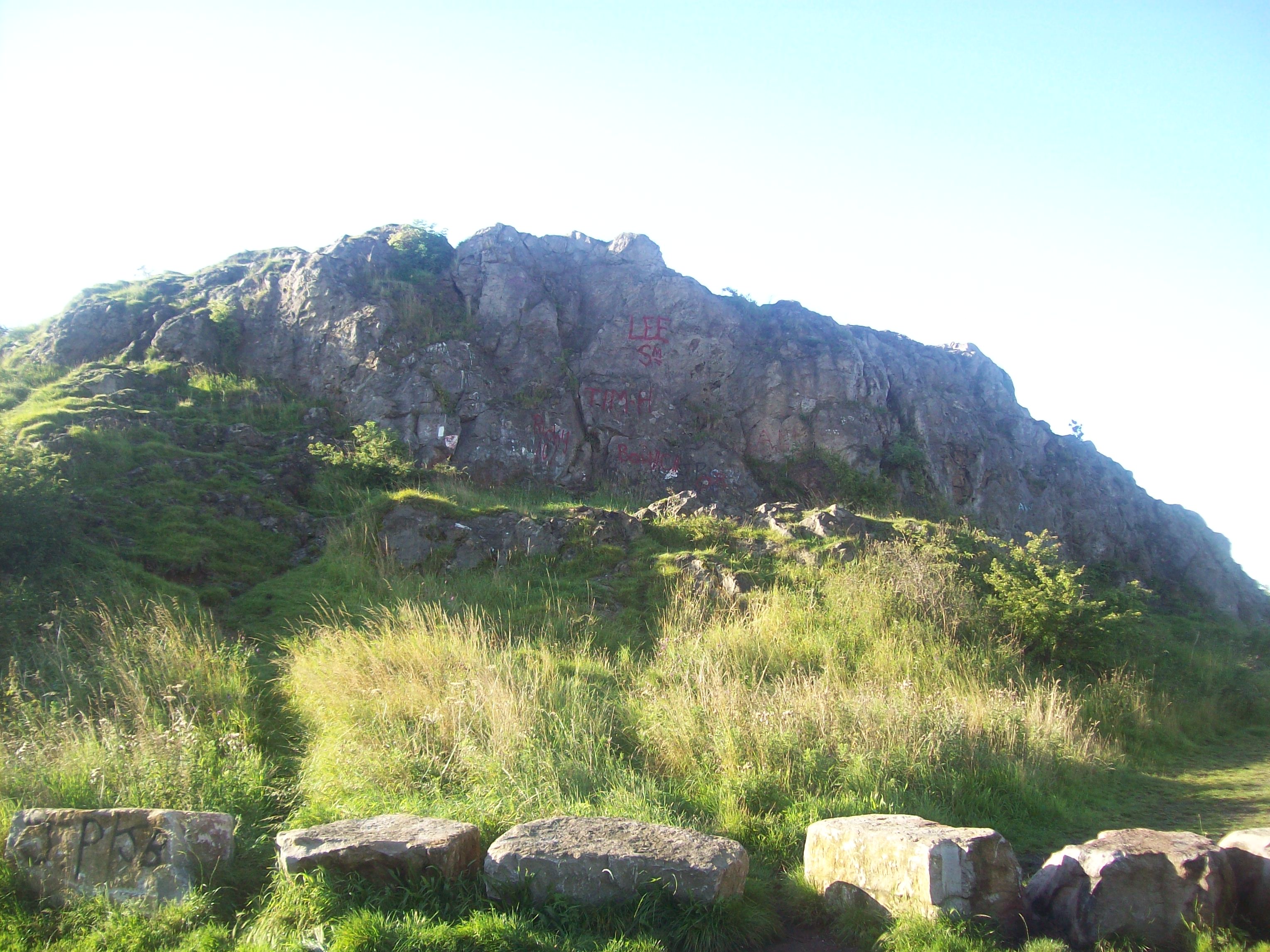
Tunstall Hills
Tunstall Hills is an area of open space in Sunderland, Tyne and Wear, England. It is a Local Nature Reserve and Tunstall Hills And Ryhope Cutting has been...

Tunstall, Sunderland
Tunstall is a suburb of Sunderland, Tyne and Wear, England which is mostly a privately purchased estate. It is located to the west of Ryhope, and east...
Plains Farm
Plains Farm (known locally as Plainsy) is a suburb of Sunderland, Tyne and Wear, England, and is a council-built housing estate, erected in the 1940s....
New Silksworth
Silksworth is a suburb of the City of Sunderland, Tyne and Wear. The area can be distinguished into two parts, old Silksworth, the original village and...
Sunderland College
Sunderland College, officially City of Sunderland College, is a further education and higher education college based in Sunderland, North East England...
Farringdon, Sunderland
Farringdon is a suburb of Sunderland, Tyne and Wear, England. Originally a Monastic grange and manor estate for hundreds of years, Farringdon was rebuilt...
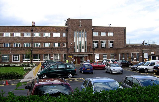
Sunderland Eye Infirmary
The Sunderland Eye Infirmary is a health facility in Sunderland, Tyne and Wear. It is managed by the South Tyneside and Sunderland NHS Foundation Trust...
St Aidan's Catholic Academy
St Aidan's Catholic Academy (formerly St Aidan's Catholic School) is a Roman Catholic boys' secondary school and sixth form with academy status, situated...
Nearby Amenities
Located within 500m of 54.880039,-1.4015814Have you been to Newport Dene?
Leave your review of Newport Dene below (or comments, questions and feedback).