Applehaigh Clough
Valley in Yorkshire
England
Applehaigh Clough

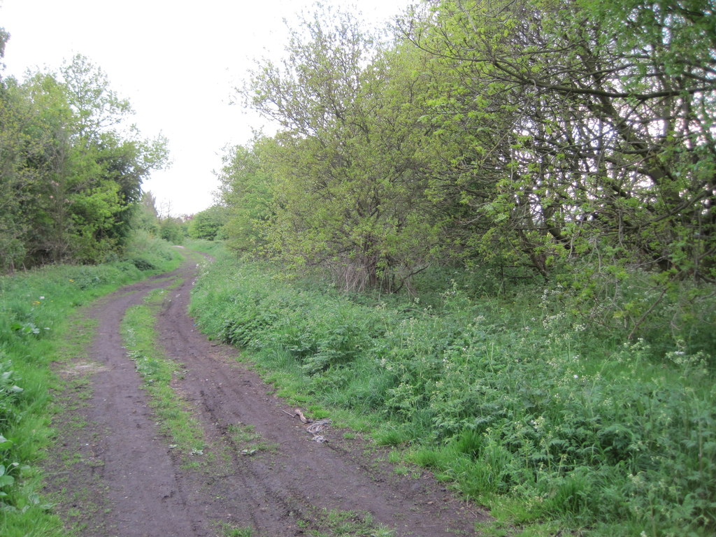
Applehaigh Clough is a picturesque valley located in the county of Yorkshire, England. Nestled in the heart of the countryside, this enchanting landscape offers a serene and tranquil retreat for nature lovers and hikers alike.
The valley is characterized by its lush greenery, rolling hills, and meandering streams. Applehaigh Clough is home to a diverse range of flora and fauna, with ancient woodlands and wildflower meadows dotting the landscape. The area is particularly renowned for its vibrant display of bluebells in the spring, attracting visitors from far and wide.
The valley is crisscrossed with a network of walking trails, making it a popular destination for outdoor enthusiasts. Hikers can explore the winding paths that lead through the valley, offering breathtaking views at every turn. The trails cater to all abilities, with options for leisurely strolls or more challenging hikes up the surrounding hills.
In addition to its natural beauty, Applehaigh Clough also boasts a rich history. The valley is dotted with remnants of its industrial past, including old mine shafts and abandoned mills. These historical artifacts provide a glimpse into the area's past and offer a fascinating insight into Yorkshire's industrial heritage.
Visitors to Applehaigh Clough can enjoy a range of activities, from picnicking by the babbling brooks to birdwatching in the woodlands. The valley is also a popular spot for wildlife enthusiasts, with the opportunity to spot deer, foxes, and a variety of bird species.
Overall, Applehaigh Clough is a hidden gem in Yorkshire, offering a peaceful escape from the bustling city life. With its natural beauty, rich history, and abundance of outdoor activities, it is a must-visit destination for those seeking to explore the beauty of the English countryside.
If you have any feedback on the listing, please let us know in the comments section below.
Applehaigh Clough Images
Images are sourced within 2km of 53.607163/-1.4737315 or Grid Reference SE3412. Thanks to Geograph Open Source API. All images are credited.


Applehaigh Clough is located at Grid Ref: SE3412 (Lat: 53.607163, Lng: -1.4737315)
Division: West Riding
Unitary Authority: Wakefield
Police Authority: West Yorkshire
What 3 Words
///vampire.decisions.producing. Near Notton, West Yorkshire
Nearby Locations
Related Wikis
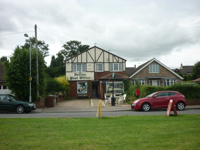
Notton
Notton is a village and civil parish in the City of Wakefield district of West Yorkshire, England. The village is approximately 1 mile (1.6 km) north...
Notton and Royston railway station
Notton and Royston railway station was a railway station that served the village of Royston, South Yorkshire, England. It was situated on the Barnsley...

Royston High School
Royston High School was a state school in Barnsley, South Yorkshire, England. Along with City School, Sheffield, Royston High School had links with Malealea...

Royston, South Yorkshire
Royston is a suburban village within the Metropolitan borough of Barnsley, in South Yorkshire, England. Historically, the village formed part of the West...
Nearby Amenities
Located within 500m of 53.607163,-1.4737315Have you been to Applehaigh Clough?
Leave your review of Applehaigh Clough below (or comments, questions and feedback).