Cuckoostone Dale

Valley in Derbyshire Derbyshire Dales

England

Cuckoostone Dale

Track down to Tansley A long-established track though it is not a public footpath.
Track down to Tansley Credit: Bill Boaden

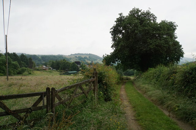
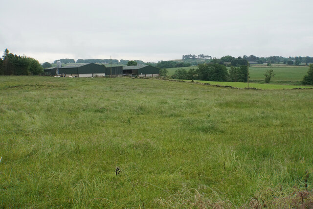
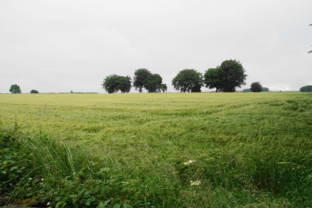
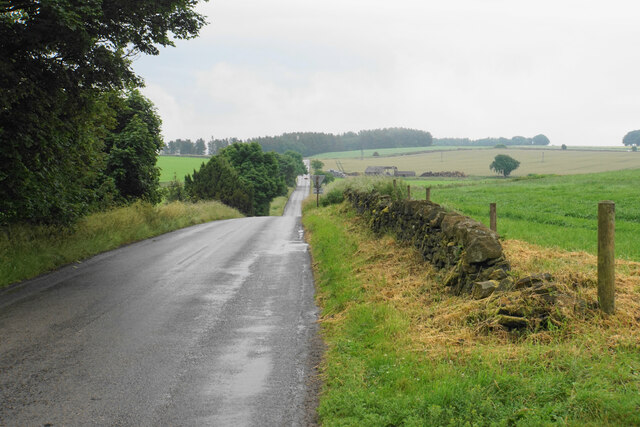
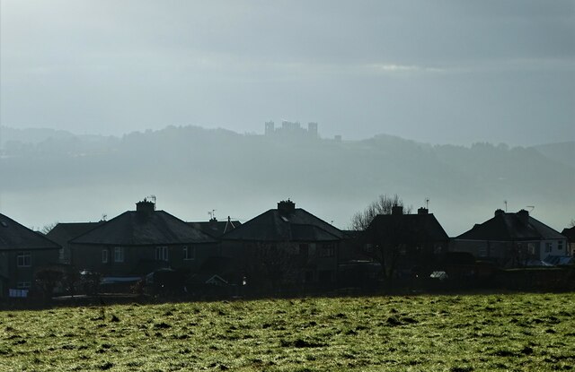
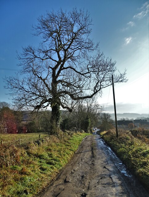
Cuckoostone Dale is a picturesque valley located in Derbyshire, England. This stunning dale is nestled within the Peak District National Park, renowned for its natural beauty and idyllic landscapes. The valley stretches for approximately 5 miles and is characterized by its rolling hills, lush green fields, and meandering streams.

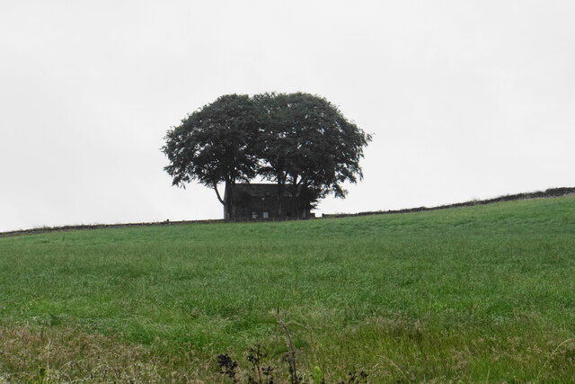
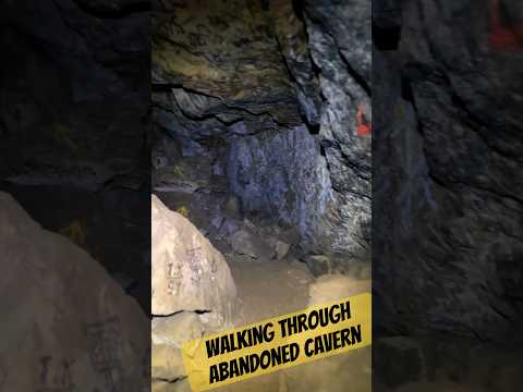
The name "Cuckoostone" originates from an intriguing large stone formation found in the dale. Legends suggest that the stone emits sounds resembling the call of a cuckoo bird, hence its name. This unique geological feature adds to the charm and mystique of the area.

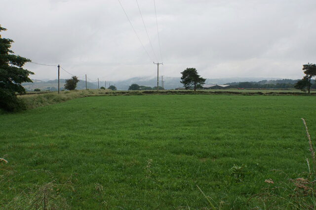
The dale is home to a diverse range of flora and fauna, making it an ideal spot for nature enthusiasts and wildlife lovers. Visitors can expect to encounter various species of birds, butterflies, and wildflowers during their explorations. The serene environment of Cuckoostone Dale also provides a tranquil escape for those seeking peace and relaxation.

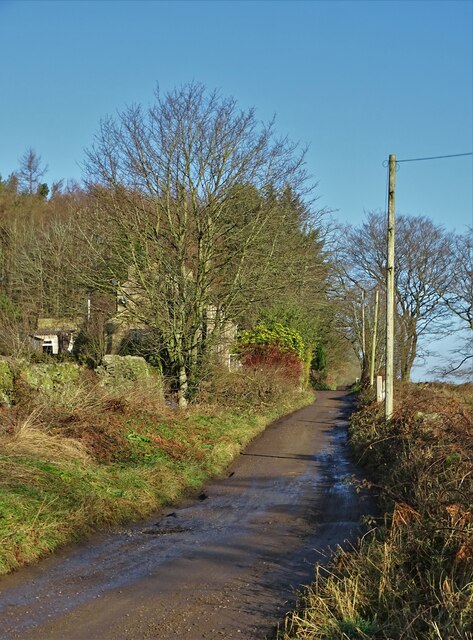
The valley offers numerous walking trails and hiking paths, allowing visitors to immerse themselves in the breathtaking surroundings. The picturesque views of the surrounding peaks and valleys are truly awe-inspiring, providing ample opportunities for photography and sightseeing.

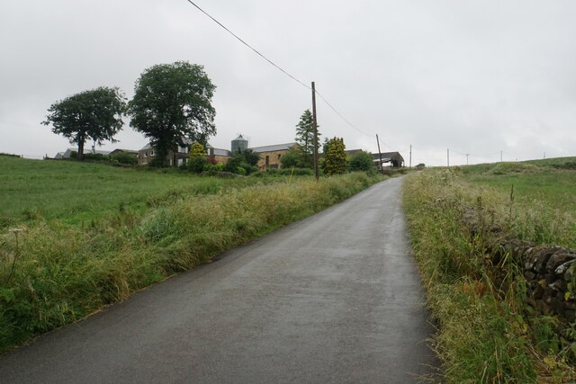
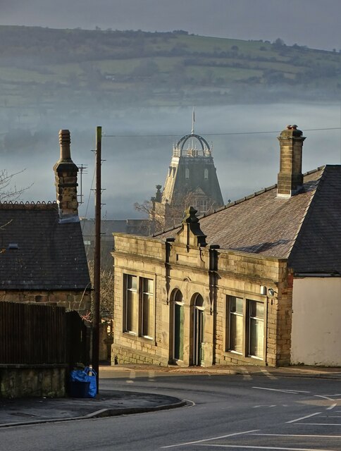
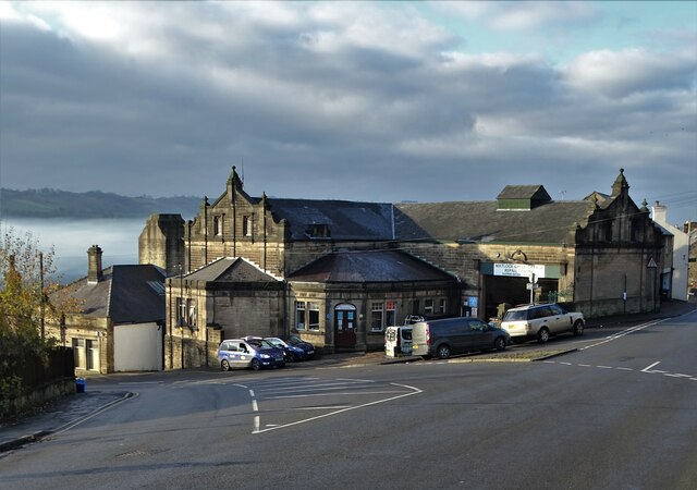
Cuckoostone Dale is also rich in cultural heritage, with several historical landmarks and ancient sites nearby. The area is dotted with traditional stone-built cottages and farmhouses, giving visitors a glimpse into the region's rural past.

Overall, Cuckoostone Dale is a hidden gem within Derbyshire, offering visitors a chance to connect with nature, explore its rich history, and experience the tranquility of the Peak District National Park.

If you have any feedback on the listing, please let us know in the comments section below.

Cuckoostone Dale Images

Images are sourced within 2km of 53.153843/-1.5336603 or Grid Reference SK3161. Thanks to Geograph Open Source API. All images are credited.

Track down to Tansley A long-established track though it is not a public footpath.
Track down to Tansley
A long-established track though it is not a public footpath.
Home Farm Viewed from further down the hill on Whitelea Lane.
Home Farm
Viewed from further down the hill on Whitelea Lane.
Barn above Tansley Knoll Seen in profile from down the hill on Whitelea Lane.
Barn above Tansley Knoll
Seen in profile from down the hill on Whitelea Lane.
Field on Tansley Moor Part of a plateau of farmland. The Derwent valley can be seen in the background though the view is still affected by recent rain.
Field on Tansley Moor
Part of a plateau of farmland. The Derwent valley can be seen in the background though the view is still affected by recent rain.
Field by North Carolina Farm A view from Lant Lane with Blakelow Hill in the background.
Field by North Carolina Farm
A view from Lant Lane with Blakelow Hill in the background.
Lant Lodge Farm Viewed from Lant Lane. There are Belted Galloways in the field, quite a common breed locally..
Lant Lodge Farm
Viewed from Lant Lane. There are Belted Galloways in the field, quite a common breed locally..
Barley field by Lant Lane Part of the plateau of farmland between the Amber and Derwent valleys.
Barley field by Lant Lane
Part of the plateau of farmland between the Amber and Derwent valleys.
Passing place on Lant Lane The passing place is marked by the lines on the road, but the road is in fact not any wider here at all.
Passing place on Lant Lane
The passing place is marked by the lines on the road, but the road is in fact not any wider here at all.
Fields below Amber Hill The Amber valley can be seen to the right. The fields slope down towards the valley. Eddlestow Hall Farm is seen straight ahead.
Fields below Amber Hill
The Amber valley can be seen to the right. The fields slope down towards the valley. Eddlestow Hall Farm is seen straight ahead.
Fields below Amber Hill Looking down the side of the A632 as it descends into the Amber valley. Further away you can see it as it begins to climb again through the village of Kelstedge.
Fields below Amber Hill
Looking down the side of the A632 as it descends into the Amber valley. Further away you can see it as it begins to climb again through the village of Kelstedge.
Top Slack Farm Now the site of a children's nursery.
Top Slack Farm
Now the site of a children's nursery.
Holestone Gate Road A fairly narrow and bumpy road that cuts through from the A632 to the A615 to miss out Matlock, but it is mostly straight.
Holestone Gate Road
A fairly narrow and bumpy road that cuts through from the A632 to the A615 to miss out Matlock, but it is mostly straight.
Sandy Lane heading to Sandy Lane Farm
View to Riber Castle Over the rooftops of Gritstone Road. Riber Castle can be seen through misty air as a high pressure weather system settles over England.
View to Riber Castle
Over the rooftops of Gritstone Road. Riber Castle can be seen through misty air as a high pressure weather system settles over England.
View to the tower of Smedley's Hydro Seen from Wellington Street. Smedley's Hydro was a hydropathic facility developed in the second half of the nineteenth century. In the 1950's the old building was taken over by Derbyshire County Council, becoming the organisations administrative hub. The mist in the valley was related to a high pressure weather system settling over the north of England. The illuminated building on the corner was part of the old Matlock tram depot.
View to the tower of Smedley's Hydro
Seen from Wellington Street. Smedley's Hydro was a hydropathic facility developed in the second half of the nineteenth century. In the 1950's the old building was taken over by Derbyshire County Council, becoming the organisations administrative hub. The mist in the valley was related to a high pressure weather system settling over the north of England. The illuminated building on the corner was part of the old Matlock tram depot.
Former tram depot on Matlock Bank
Sandy Lane heading to Chesterfield Road The surface of this lane is dreadful. Speaking from personal experience, it is inadvisable to drive low-slung saloon cars along it.
Sandy Lane heading to Chesterfield Road
The surface of this lane is dreadful. Speaking from personal experience, it is inadvisable to drive low-slung saloon cars along it.
A632, Lime Tree Rd The A632 is a non-primary A-road connecting the Peak District with the Dukeries. It runs 22 miles from Matlock to Cuckney, via Chesterfield.
<span class="nowrap"><a title="http://www.sabre-roads.org.uk/wiki/index.php?title=A632" rel="nofollow ugc noopener" href="http://www.sabre-roads.org.uk/wiki/index.php?title=A632">Link</a><img style="margin-left:2px;" alt="External link" title="External link - shift click to open in new window" src="https://s1.geograph.org.uk/img/external.png" width="10" height="10"/></span>
A632, Lime Tree Rd
The A632 is a non-primary A-road connecting the Peak District with the Dukeries. It runs 22 miles from Matlock to Cuckney, via Chesterfield. LinkExternal link
Show me another place!

Cuckoostone Dale is located at Grid Ref: SK3161 (Lat: 53.153843, Lng: -1.5336603)

Administrative County: Derbyshire

District: Derbyshire Dales

Police Authority: Derbyshire

What 3 Words

///list.grows.leader. Near Matlock, Derbyshire

Nearby Locations

Cuckoostone Dale

Related Wikis

Highfields School, Matlock

Highfields School is a coeducational secondary school and sixth form located in Matlock, Derbyshire, England. At the time of its September 2012 Ofsted...
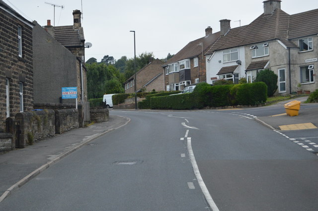
Bentley Brook

Bentley Brook is a stream in Derbyshire, England. It rises on Matlock Moor, flowing south through Cuckoostone Dale, under the A632, into Lumsdale, gathering...

Lumsdale Valley

Lumsdale Valley is a steep-sided wooded gorge in the Peak District near Matlock, Derbyshire, in England. It is the location of a series of historic water...

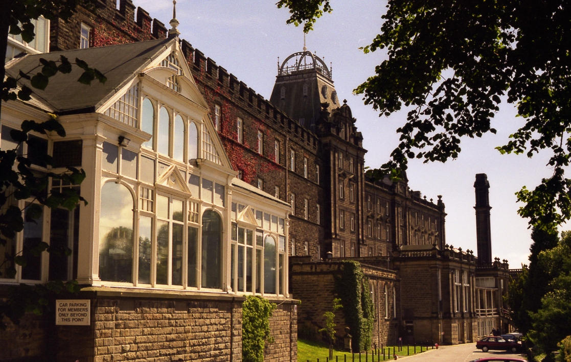
County Hall, Matlock

The County Hall is a municipal building in Matlock, Derbyshire, England. The building, which was originally a hydropathic establishment but is now the...

All Saints' Church, Matlock Bank

All Saints’ Church, Matlock Bank is a Grade II listed parish church in the Church of England in Matlock, Derbyshire. == History == A mission room and school...

Farley, Derbyshire

Farley is a hamlet in the Derbyshire Dales district, in the English county of Derbyshire. It is near the town of Matlock. The nearest main road is the...
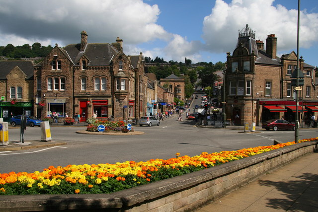
Matlock, Derbyshire

Matlock is the county town of Derbyshire, England. It is in the south-eastern part of the Peak District, with the National Park directly to the west....

Matlock Urban District

Matlock was an Urban District in Derbyshire, England from 1894 to 1974. It was created under the Local Government Act 1894. The district was abolished...

Related Videos

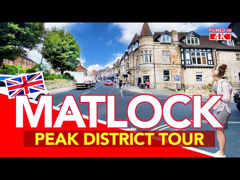
MATLOCK Derbyshire | Full walking tour of Matlock Town Centre in the Peak District, England.

Matlock Town is sits in the Derbyshire Peak District of the UK next to Matlock Bath and close to Sheffield, Chesterfield and Derby.

Nearby Amenities

Located within 500m of 53.153843,-1.5336603
Barrier: stile
Material: wood
Source: survey;gps
Stile: stepover
Lat/Long: 53.156332/-1.5345823
Ele: 243.0972900
Lat/Long: 53.1568996/-1.5379229
Bench
Lat/Long: 53.1518216/-1.5282159
Bus Stop
Quarry Lane
Bus: yes
Public Transport: platform
Lat/Long: 53.1499024/-1.5326623
Bus Stop
Golf Club
Bus: yes
Public Transport: platform
Lat/Long: 53.150911/-1.530066
Parking
Description: Layby
Lat/Long: 53.1502596/-1.5314661
Bus Stop
Golf Club
Bus: yes
Public Transport: platform
Lat/Long: 53.1510541/-1.5299158
Bus Stop
Quarry Lane
Bus: yes
Naptan AtcoCode: 100000008505
Naptan NaptanCode: dbsgajda
Public Transport: platform
Lat/Long: 53.1496636/-1.532972
Bench
Lat/Long: 53.1518892/-1.5391049
Cuckoostone
Historic: archaeological_site
Lat/Long: 53.1559372/-1.5334339
Golf Club
Bus: yes
Public Transport: stop_position
Lat/Long: 53.1510181/-1.5298761
Golf Club
Bus: yes
Public Transport: stop_position
Lat/Long: 53.150931/-1.5300851
Quarry Lane
Bus: yes
Public Transport: stop_position
Lat/Long: 53.1498685/-1.5326351
Quarry Lane
Bus: yes
Public Transport: stop_position
Lat/Long: 53.1497051/-1.5330182
The data included in this document is from www.openstreetmap.org. The data is made available under ODbL.

Have you been to Cuckoostone Dale?

Leave your review of Cuckoostone Dale below (or comments, questions and feedback).