Aulins Glen

Valley in Shetland

Scotland

Aulins Glen

Setter, Seli Voe, from the air
Setter, Seli Voe, from the air Credit: Mike Pennington

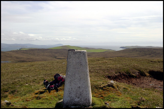
Aulins Glen is a picturesque valley located in the Shetland Islands, an archipelago off the northeast coast of Scotland. This valley is situated on the island of Mainland, which is the largest and most populous island in the Shetlands. Aulins Glen is nestled between rolling hills and surrounded by lush greenery, making it a haven for nature enthusiasts and hikers.

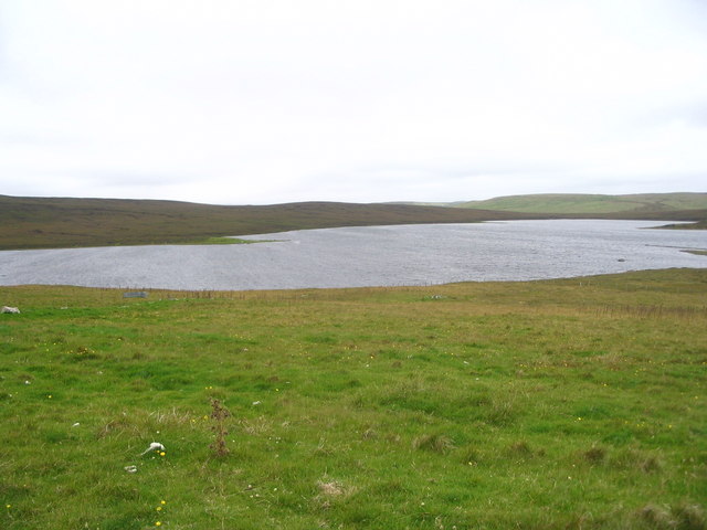
The glen is known for its tranquil atmosphere and stunning natural beauty. A crystal-clear stream flows through the valley, creating a soothing soundtrack as it cascades over rocks and boulders. The stream is home to a variety of wildlife, including otters and various species of fish.

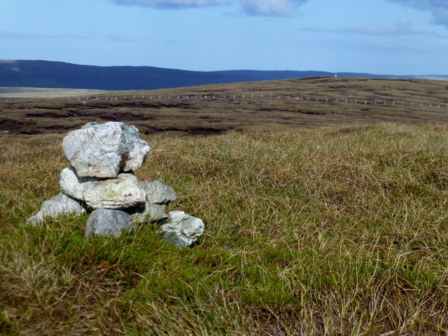
Visitors to Aulins Glen can explore the area by following a well-maintained footpath that winds its way through the valley. The path offers breathtaking views of the surrounding landscape, including the towering cliffs that enclose the glen. Along the way, hikers may encounter wildflowers in bloom, adding bursts of color to the already picturesque scenery.

The glen also boasts a diverse range of plant life, with ancient trees providing shade and shelter for a multitude of species. This makes it an ideal spot for birdwatching, with a chance to spot species such as red grouse and Eurasian wrens.

Overall, Aulins Glen is a hidden gem in the Shetland Islands, offering visitors a peaceful retreat and an opportunity to immerse themselves in the natural wonders of this remote and unspoiled corner of Scotland.

If you have any feedback on the listing, please let us know in the comments section below.
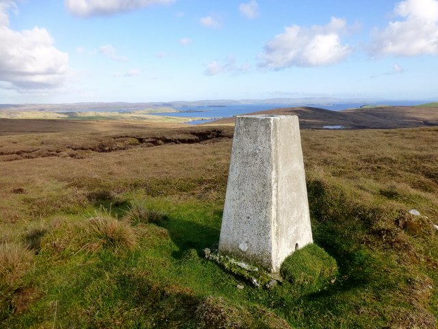
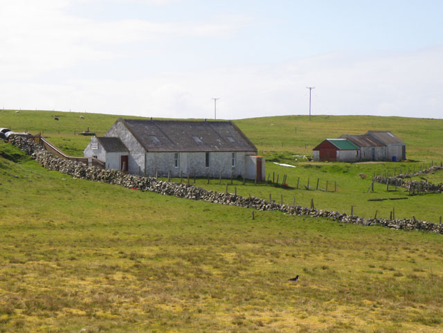
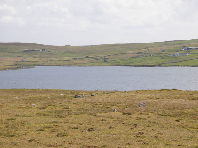
Aulins Glen Images

Images are sourced within 2km of 60.20973/-1.4433293 or Grid Reference HU3047. Thanks to Geograph Open Source API. All images are credited.

Setter, Seli Voe, from the air
Trig point Looking to the South down the West side of Shetland to Fitful Head in the distance.
Trig point
Looking to the South down the West side of Shetland to Fitful Head in the distance.
Gossa Water
Gossa Water
Hoganess road junction The head of Seli Voe is visible in the distance.
Hoganess road junction
The head of Seli Voe is visible in the distance.
View over head of Seli Voe
Setter, Sellivoe
Setter, Sellivoe
Sand Water The loch has lost a couple of feet of level when a bank at the outflow burn washed away. This has left a wide sterile zone all around the loch like this beach at the north end. The smaller southern section is basically dry. Still plenty of small and lively trout surviving here though.
Sand Water
The loch has lost a couple of feet of level when a bank at the outflow burn washed away. This has left a wide sterile zone all around the loch like this beach at the north end. The smaller southern section is basically dry. Still plenty of small and lively trout surviving here though.
Gossa Water South-east corner of Gossa Water. A long wall projects into the water.
Gossa Water
South-east corner of Gossa Water. A long wall projects into the water.
Burn of Scrooie Moorland scenery seen from the cheese works.
Burn of Scrooie
Moorland scenery seen from the cheese works.
Sand Field Track that starts at HU331477 is initially useful but turns into a ditch. Ditch the ditch and make a more direct line after the third gate. Bagged with Tricky Speirs, then on to collect the trig point.
Name: Sand Field
Hill number: 4917
Height: 136m / 446ft
Area: 22: Shetland Islands
Class: Hu
Grid ref: HU313485 (est)
Drop: 114m
Col: 22m  HU279527
Sand Field
Track that starts at HU331477 is initially useful but turns into a ditch. Ditch the ditch and make a more direct line after the third gate. Bagged with Tricky Speirs, then on to collect the trig point. Name: Sand Field Hill number: 4917 Height: 136m / 446ft Area: 22: Shetland Islands Class: Hu Grid ref: HU313485 (est) Drop: 114m Col: 22m HU279527
Sand Field Trig Point Bagged with Tricky Speirs after the HuMP summit further west.
Sand Field Trig Point
Bagged with Tricky Speirs after the HuMP summit further west.
Track Used To Access Sand Field Initial track from road before Summerside is usually damper than this as we make our way towards the HuMP Sand Field.
Track Used To Access Sand Field
Initial track from road before Summerside is usually damper than this as we make our way towards the HuMP Sand Field.
View West Over Sand Water A view west over Sand Water from the damp path on our way to bag the HuMP Sand Field with Tricky Speirs.
View West Over Sand Water
A view west over Sand Water from the damp path on our way to bag the HuMP Sand Field with Tricky Speirs.
Planticrub on a hillside above Seli Voe, near Gruting
Head of Seli Voe, near Gruting
Old peat workings Above Olas Voe.
Old peat workings
Above Olas Voe.
Burn of Selivoe Heading to Seli Voe.
Burn of Selivoe
Heading to Seli Voe.
Blackton: heading south towards Wester Skeld The minor road from Bridge of Walls starts descending from the latest hill and heads into the valley of Olas Voe before, in the distance, ascending again as it heads for Hestinsetter and, eventually, Wester Skeld.
Blackton: heading south towards Wester Skeld
The minor road from Bridge of Walls starts descending from the latest hill and heads into the valley of Olas Voe before, in the distance, ascending again as it heads for Hestinsetter and, eventually, Wester Skeld.
Show me another place!

Aulins Glen is located at Grid Ref: HU3047 (Lat: 60.20973, Lng: -1.4433293)

Unitary Authority: Shetland Islands

Police Authority: Highlands and Islands

What 3 Words

///neatly.isolating.clumped. Near Walls, Shetland Islands

Nearby Locations

Aulins Glen

Related Wikis

Skeld

Skeld (Old Norse: Skjolðr, Shield or shelter) refers to two villages on the south side of the West Mainland of Shetland, Scotland. The main village is...

Sandsting

Sandsting is a parish in the West Mainland of Shetland, Scotland, forming a southern arm of the Walls Peninsula. After the parish of Aithsting was annexed...

Gruting

Gruting is a hamlet on the island of Mainland, Shetland in Scotland. It is about 1 kilometre (0.62 mi) southwest of the archaeological site of Stanydale...

Stanydale Temple

Stanydale Temple is a Neolithic site on Mainland, Shetland, Scotland. It is located in a field to the south of the modern village of Stanydale, roughly...

Stanydale

Stanydale is a hamlet on the island of Mainland, Shetland, Scotland. The archaeological site of Stanydale Temple is less than 0.5 miles (0.80 km) to...

Silwick

Silwick, a once thriving community in the West Mainland, Shetland, Scotland about three miles from Skeld, is now almost deserted. The area has dramatic...

Browland

Browland is a village on Mainland in Shetland, Scotland situated about 1.9 miles (3 km) east north east of Walls. Browland is within the parish of Sandsting...

Westerwick

Westerwick is a settlement on Mainland in Shetland, Scotland. The settlement is within the parish of Sandsting. It faces south with high cliffs on both...

Have you been to Aulins Glen?

Leave your review of Aulins Glen below (or comments, questions and feedback).