Coneygeer Bottom

Valley in Hampshire New Forest

England

Coneygeer Bottom

Minstead : The A31 Looking along the A31.
Minstead : The A31 Credit: Lewis Clarke

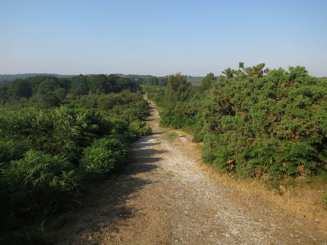
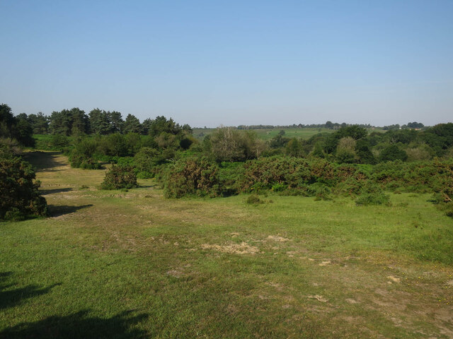
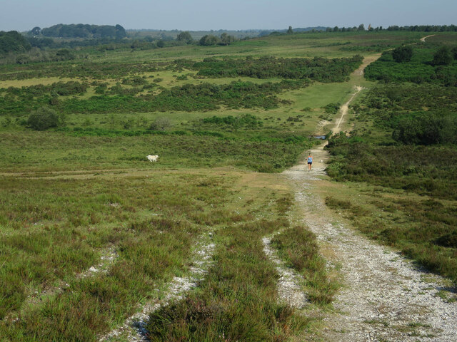
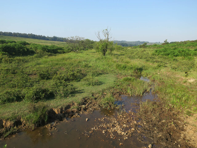
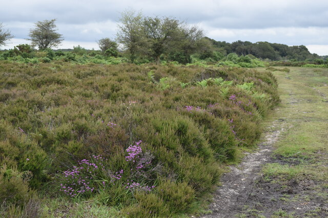
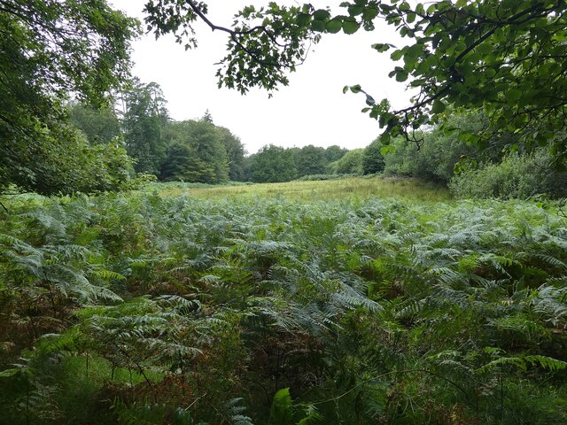
Coneygeer Bottom is a picturesque valley located in Hampshire, England. Situated in the heart of the South Downs National Park, this tranquil and unspoiled area is known for its natural beauty and stunning landscapes. The valley stretches over a mile and is surrounded by rolling hills, lush meadows, and ancient woodlands.

The name Coneygeer Bottom originates from the old English word "coney," meaning rabbit, and "geer," which refers to a triangular piece of land. This suggests that the valley was once a habitat for rabbits and had a distinctive triangular shape.

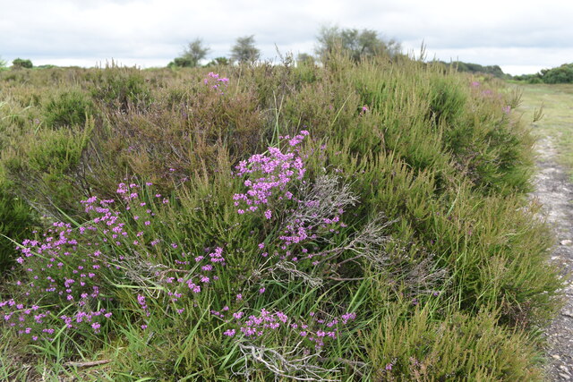
The valley is intersected by a charming stream that meanders through its center, creating a peaceful atmosphere. The stream is home to a variety of wildlife, including water voles, kingfishers, and trout, making it a popular spot for nature enthusiasts and birdwatchers.

Coneygeer Bottom is also rich in history and heritage. The area is dotted with archaeological sites, including Bronze Age barrows and Roman remains, giving visitors a glimpse into the past. Additionally, there are several walking and cycling trails that allow visitors to explore the valley and enjoy its natural wonders.

With its idyllic surroundings and abundant wildlife, Coneygeer Bottom offers a tranquil escape from the hustle and bustle of everyday life. Whether it's a leisurely stroll along the stream, a picnic in the meadows, or an exploration of its historical landmarks, this Hampshire valley provides a peaceful and scenic retreat for all who visit.

If you have any feedback on the listing, please let us know in the comments section below.

Coneygeer Bottom Images

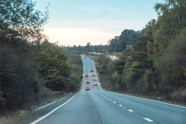
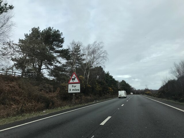
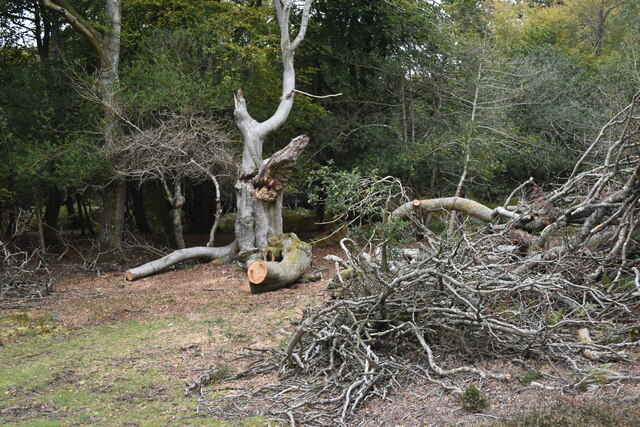
Images are sourced within 2km of 50.881355/-1.6533122 or Grid Reference SU2409. Thanks to Geograph Open Source API. All images are credited.

Minstead : The A31 Looking along the A31.
Minstead : The A31
Looking along the A31.
Track off Stoney Cross Plain A summer version of <a href="https://www.geograph.org.uk/photo/4285054">SU2510 : Newtown, track</a>
Track off Stoney Cross Plain
A summer version of SU2510 : Newtown, track
West of Stoney Cross Plain
Withybed Bottom With a dog off the lead running free. The combined effect of this creates a lot of extra disturbance for ground nesting birds.
Withybed Bottom
With a dog off the lead running free. The combined effect of this creates a lot of extra disturbance for ground nesting birds.
Signage - A31 northbound
Track in Slufters Inclosure
Cleared area, Slufters Inclosure
Path on Hart Hill
Path on Hart Hill
Fallen branches on edge of Stonards Wood
Long Brook, Withybed Bottom
Path and heather at Spreading Oak
Heather at Spreading Oak
Stream in Slufters Bottom
Minstead : The A31 Looking along the dual carriageway.
Minstead : The A31
Looking along the dual carriageway.
Bolderwood Deer Sanctuary - without any deer Bolderwood Deer Sanctuary in the New Forest was notably free of any signs of Cervidae on our visit. Perhaps we were just unlucky. 
The main 'viewing area' is a field with a viewing platform nearer to the road than the wood-fringed field seen in this photo.
The species which may be seen here are:
Red Deer (Cervus elaphus)
Roe Deer (Capreolus capreolus)
Fallow Deer (Dama dama)
Sika (Cervus nippon)
and occasionally Muntjac (Muntiacus reevesi)
Bolderwood Deer Sanctuary - without any deer
Bolderwood Deer Sanctuary in the New Forest was notably free of any signs of Cervidae on our visit. Perhaps we were just unlucky. The main 'viewing area' is a field with a viewing platform nearer to the road than the wood-fringed field seen in this photo. The species which may be seen here are: Red Deer (Cervus elaphus) Roe Deer (Capreolus capreolus) Fallow Deer (Dama dama) Sika (Cervus nippon) and occasionally Muntjac (Muntiacus reevesi)
Track from Puckpits Inclosure
Clearing near Puckpits Inclosure
Track towards Acres Down
Show me another place!

Coneygeer Bottom is located at Grid Ref: SU2409 (Lat: 50.881355, Lng: -1.6533122)

Administrative County: Hampshire

District: New Forest

Police Authority: Hampshire

What 3 Words

///elder.fermented.exhale. Near Lyndhurst, Hampshire

Nearby Locations

Coneygeer Bottom

Related Wikis

New Forest District

New Forest is a local government district in Hampshire, England. Its council is based in Lyndhurst, although the largest town is Totton. The district also...

Bolderwood, Hampshire

Bolderwood is an area of the New Forest in Hampshire. Bolderwood hosts a deer sanctuary with a public deer observation platform. As a result, the public...

Portuguese Fireplace

The Portuguese Fireplace is a war memorial in the New Forest National Park, near the village of Lyndhurst, Hampshire, England. It is located on the road...

Ocknell Plain

Ocknell Plain can be found in the New Forest near Southampton, England. The area was used in World War II for the Stoney Cross airfield and it is now very...

Nearby Amenities

Located within 500m of 50.881355,-1.6533122
Lcn Ref: 104
Lat/Long: 50.8817685/-1.6602402
Lcn Ref: 143
Lat/Long: 50.8770846/-1.6553799
Lcn Ref: 145
Lat/Long: 50.8796877/-1.6517605
Lcn Ref: 102
Lat/Long: 50.8831958/-1.6487318
Canadian Memorial
Historic: memorial
Memorial: war_memorial
Lat/Long: 50.8821695/-1.659987
Bolderwood Walk
Place: locality
Lat/Long: 50.8827999/-1.651993
Lcn Ref: 141
Lat/Long: 50.878902/-1.6583583
Information: guidepost
Operator: Forestry Commission
Ref: 104
Source: survey
Tourism: information
Lat/Long: 50.8817556/-1.6602907
Information: guidepost
Operator: Forestry Commission
Ref: 102
Source: survey
Lat/Long: 50.8832333/-1.6487079
Woolsmoor Meads
Place: locality
Lat/Long: 50.8808789/-1.6475395
The data included in this document is from www.openstreetmap.org. The data is made available under ODbL.

Have you been to Coneygeer Bottom?

Leave your review of Coneygeer Bottom below (or comments, questions and feedback).