Bradfield Dale
Valley in Yorkshire
England
Bradfield Dale
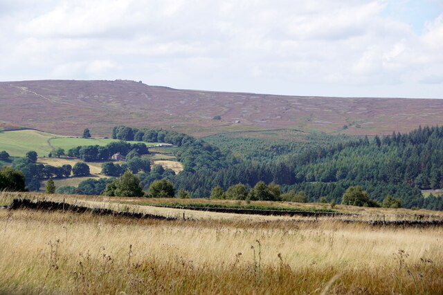
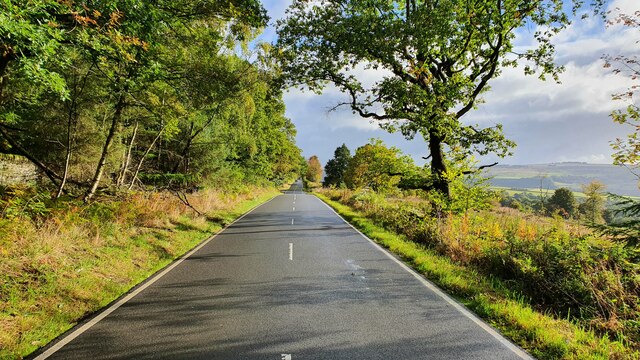
Bradfield Dale is a picturesque valley located in the heart of Yorkshire, England. Situated within the Peak District National Park, it offers breathtaking views and a tranquil atmosphere. The dale is nestled between the rolling hills of the Pennines, creating a stunning backdrop for visitors to enjoy.
The valley is known for its natural beauty, with lush green meadows, charming stone-built cottages, and meandering streams. The landscape is dotted with patches of woodland, adding to its idyllic charm. The dale is rich in wildlife, attracting nature enthusiasts and birdwatchers who can spot a variety of species such as red grouse, curlews, and lapwings.
Bradfield Dale is a haven for outdoor enthusiasts, offering a range of activities. Hiking and walking trails crisscross the valley, allowing visitors to explore the surrounding countryside at their own pace. The dale is also popular for cycling, with scenic routes that cater to all levels of ability. Anglers can enjoy fishing in the local rivers and lakes, while climbers can tackle the nearby gritstone edges.
The valley is home to a close-knit community that takes pride in its heritage and traditions. It is dotted with small villages, including Low Bradfield and High Bradfield, where visitors can find cozy pubs and local shops. The annual Bradfield Show, a traditional agricultural event, highlights the area's farming heritage and attracts visitors from near and far.
Bradfield Dale offers a peaceful retreat away from the hustle and bustle of city life, making it an ideal destination for those seeking relaxation and natural beauty. Whether it's exploring the countryside, immersing oneself in the local culture, or simply taking in the stunning views, this Yorkshire valley has something for everyone.
If you have any feedback on the listing, please let us know in the comments section below.
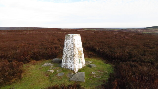
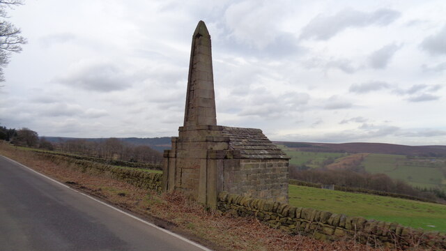
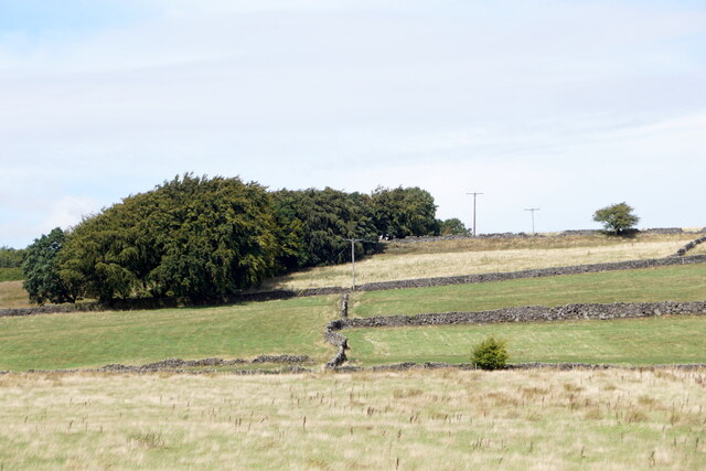
Bradfield Dale Images
Images are sourced within 2km of 53.418931/-1.6371157 or Grid Reference SK2491. Thanks to Geograph Open Source API. All images are credited.


Bradfield Dale is located at Grid Ref: SK2491 (Lat: 53.418931, Lng: -1.6371157)
Division: West Riding
Unitary Authority: Sheffield
Police Authority: South Yorkshire
What 3 Words
///slant.ascendant.panting. Near Bradfield, South Yorkshire
Nearby Locations
Related Wikis
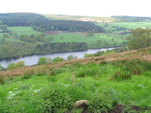
Dale Dike Reservoir
Dale Dike Reservoir or Dale Dyke Reservoir (grid reference SK240913) is a reservoir in the north-east Peak District, in the City of Sheffield, South Yorkshire...

Bradfield Dale
Bradfield Dale is a rural valley 12 kilometres (7.5 mi) west-northwest of the City of Sheffield in England. The valley stands within the north-eastern...

Hallfield House
Hallfield House is a Grade II listed building situated in Bradfield Dale, 1.7 miles (2.74 km) west of the village of Low Bradfield, near Sheffield in England...

Strines Reservoir
Strines Reservoir is a water storage reservoir situated at 53.4099°N 1.6557°W / 53.4099; -1.6557 (Strines_Reservoir), 8 miles (13 km) west of the centre...
Nearby Amenities
Located within 500m of 53.418931,-1.6371157Have you been to Bradfield Dale?
Leave your review of Bradfield Dale below (or comments, questions and feedback).