Levedale
Settlement in Staffordshire South Staffordshire
England
Levedale

Levedale is a small village located in the county of Staffordshire, England. Situated approximately 6 miles northeast of the town of Stafford, it falls within the Staffordshire Moorlands District. With a population of around 400 residents, Levedale enjoys a peaceful and rural setting, surrounded by picturesque countryside.
The village itself consists of a cluster of traditional stone cottages and houses, many of which date back to the 18th and 19th centuries, giving Levedale a charming and historic feel. The architecture reflects the area's agricultural heritage, with several former farm buildings converted into residential properties.
Levedale benefits from a close-knit community, with a village hall serving as a hub for local events and gatherings. It provides a space for various activities, including community meetings, classes, and social events. The village also has a traditional pub, which serves as a popular meeting spot for both locals and visitors.
The surrounding countryside offers ample opportunities for outdoor activities, such as walking, cycling, and horse riding. Levedale is located close to several nature reserves and green spaces, providing residents with access to beautiful landscapes and wildlife.
Although Levedale is a predominantly residential area, it is conveniently located near larger towns and cities. Stafford, with its range of amenities and transport links, is easily accessible, offering residents the convenience of urban facilities while enjoying the tranquility of village life.
Overall, Levedale is a charming and idyllic village, appealing to those seeking a peaceful rural lifestyle within close proximity to larger towns and cities.
If you have any feedback on the listing, please let us know in the comments section below.
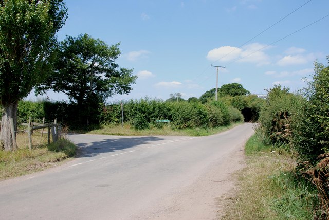
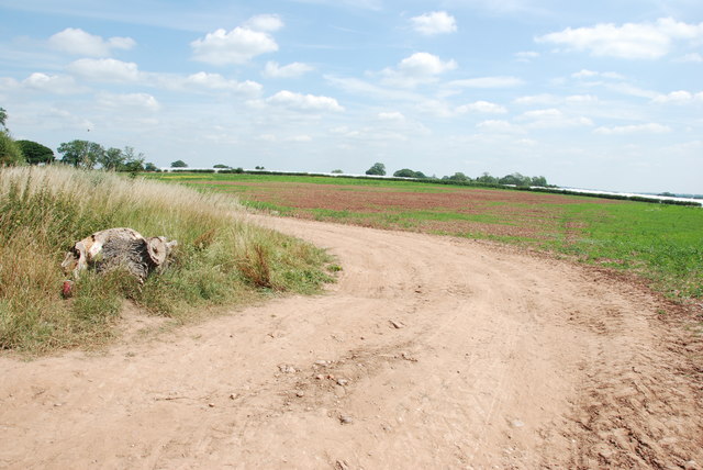
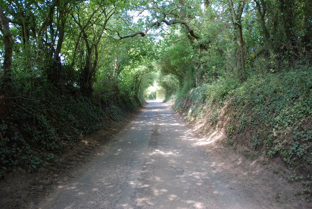
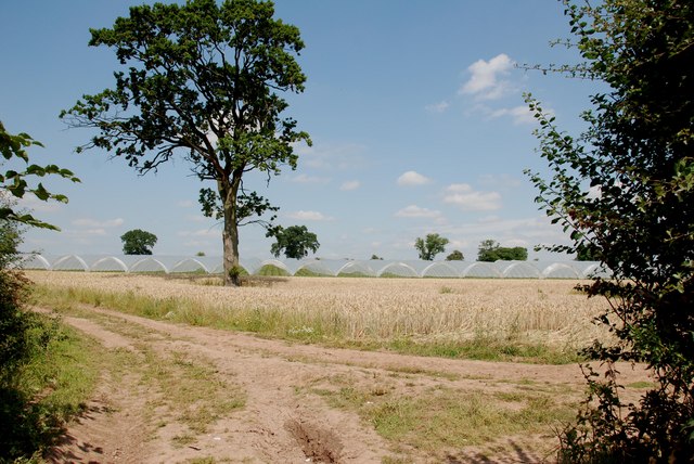
Levedale Images
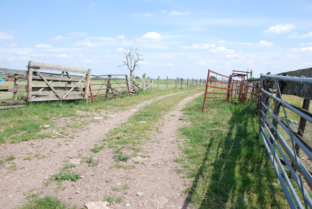
Images are sourced within 2km of 52.74663/-2.151812 or Grid Reference SJ8916. Thanks to Geograph Open Source API. All images are credited.


Levedale is located at Grid Ref: SJ8916 (Lat: 52.74663, Lng: -2.151812)
Administrative County: Staffordshire
District: South Staffordshire
Police Authority: Staffordshire
What 3 Words
///oven.slant.sizzled. Near Penkridge, Staffordshire
Nearby Locations
Related Wikis

Levedale
Levedale is a small somewhat elongated English village situated some 4 miles southwest of Stafford, 2 miles northwest of Penkridge and a mile west of Dunston...

Coppenhall
Coppenhall is a small settlement in Staffordshire, England. Coppenhall lies 2 kilometres (1 mi) southwest of Stafford and 4 miles (6.4 km) NNW of Penkridge...

Bradley, Staffordshire
Bradley is a village and civil parish in Staffordshire, England. The population of the civil parish at the 2011 census was 513. It is located close to...
Whiston, South Staffordshire
Whiston is a hamlet in the South Staffordshire district of Staffordshire, England. Population details taken at the 2011 census can be found under Penkridge...
Nearby Amenities
Located within 500m of 52.74663,-2.151812Have you been to Levedale?
Leave your review of Levedale below (or comments, questions and feedback).