Ashley Bottom
Valley in Hampshire New Forest
England
Ashley Bottom

Ashley Bottom, Hampshire (Valley) is a small rural area located in the county of Hampshire, England. Nestled within the South Downs National Park, this picturesque valley is renowned for its natural beauty and tranquil surroundings.
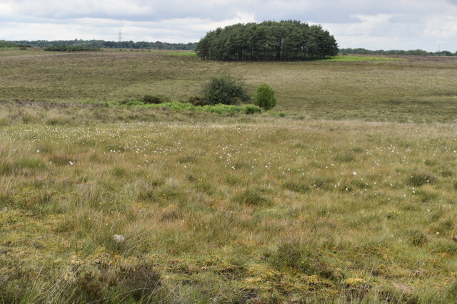
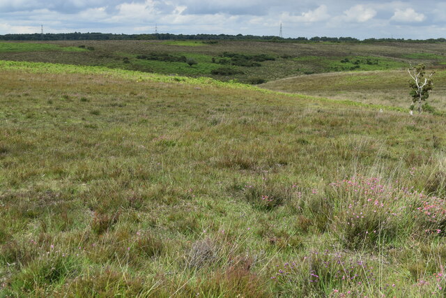
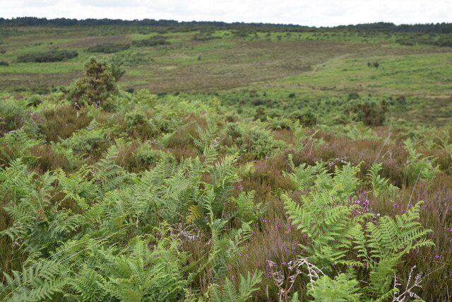
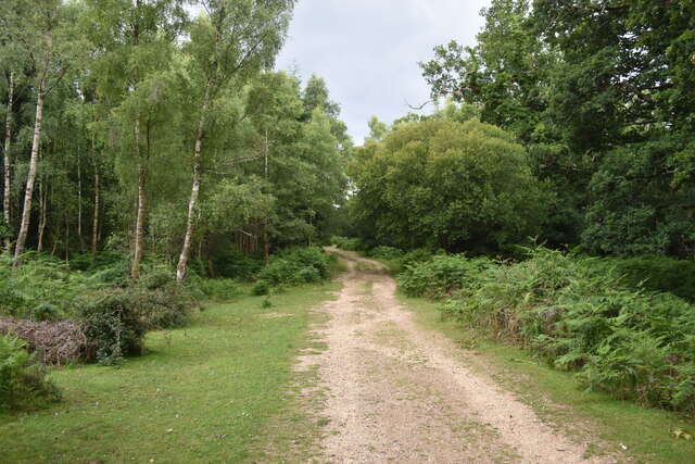
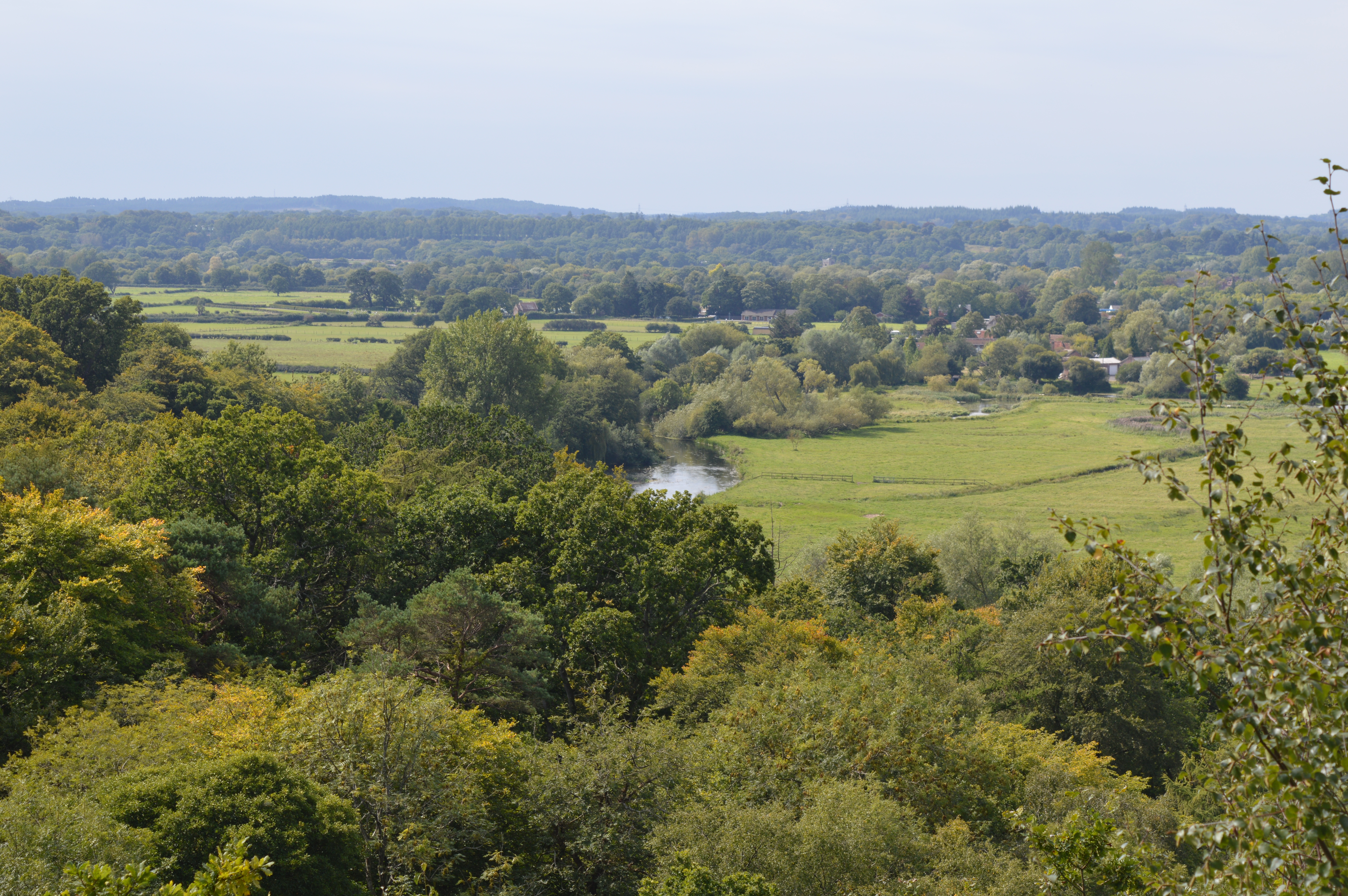
The valley is flanked by rolling hills covered in lush greenery, creating a stunning backdrop for visitors and residents alike. The area is known for its diverse wildlife, with various species of birds, mammals, and plants calling Ashley Bottom home. The valley is also intersected by a meandering river, adding to its charm and providing opportunities for recreational activities such as fishing and boating.
The local community in Ashley Bottom is small and close-knit, with a population of around 200 residents. The area primarily consists of traditional cottages and farmhouses, giving it a charming and idyllic feel. The residents take great pride in maintaining the area's natural beauty and preserving its rural character.
Despite its rural setting, Ashley Bottom is conveniently located within close proximity to several amenities and attractions. The nearby town of Winchester offers a range of shops, restaurants, and cultural attractions, while the city of Southampton is just a short drive away. The valley is also a popular destination for hikers and nature enthusiasts, with several walking trails and viewpoints providing breathtaking vistas of the surrounding countryside.
Overall, Ashley Bottom, Hampshire (Valley) is a hidden gem in the heart of Hampshire, offering a peaceful and picturesque setting for those seeking a rural escape.
If you have any feedback on the listing, please let us know in the comments section below.
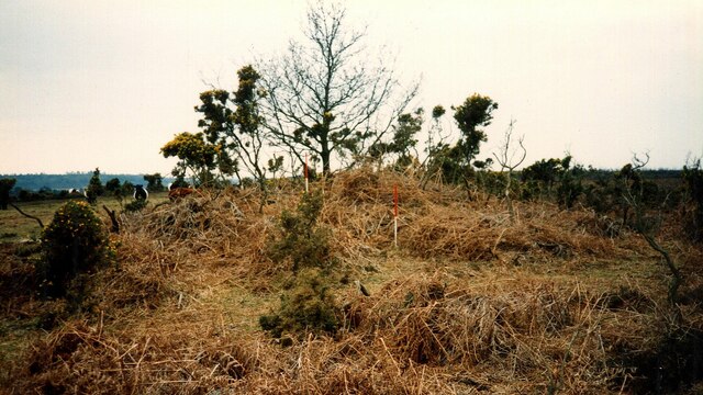
Ashley Bottom Images
Images are sourced within 2km of 50.930069/-1.7103093 or Grid Reference SU2014. Thanks to Geograph Open Source API. All images are credited.


Ashley Bottom is located at Grid Ref: SU2014 (Lat: 50.930069, Lng: -1.7103093)
Administrative County: Hampshire
District: New Forest
Police Authority: Hampshire
What 3 Words
///escapades.stuff.rising. Near Fordingbridge, Hampshire
Nearby Locations
Related Wikis

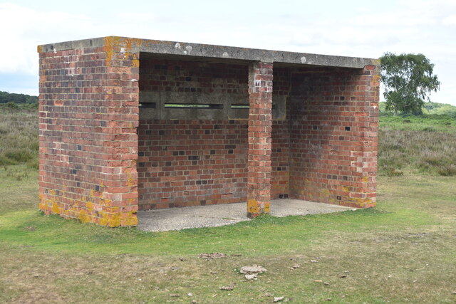
Ashley Range
Ashley Range is a former World War II bombing range in the New Forest, Hampshire, England. The range is approximately 5 mi (8.0 km) north-west of Lyndhurst...
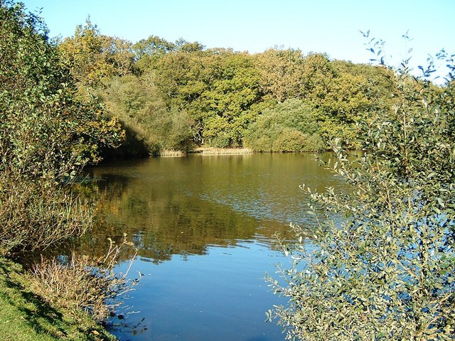
Eyeworth Pond
Eyeworth Pond is a pond located near Fritham in the New Forest, in Hampshire, England. The pond was created in 1871 by damming Latchmore Brook, with the...
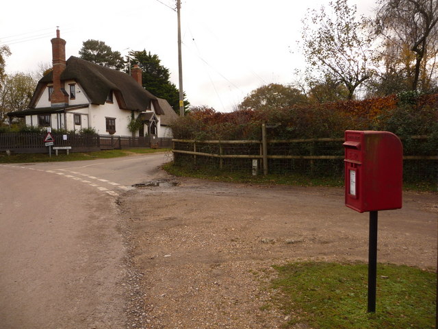
Blissford
Blissford is a hamlet in the civil parish of Hyde situated in the New Forest National Park in Hampshire, England. Its nearest town is Fordingbridge, which...
Sandy Balls
Sandy Balls is 120 acres (0.49 km2) of woods and parkland near the New Forest in Hampshire, England. Located between the village of Godshill and the town...

Ogdens
Ogdens is a small hamlet south of Hyde Common near Frogham in the New Forest area of Hampshire, England. Ogdens is a hamlet in the civil parish of Hyde...

Godshill, Hampshire
Godshill is a village and civil parish and in New Forest National Park in Hampshire, England. It is about 1+1⁄2 miles (2.4 km) east of the town of Fordingbridge...

Fritham
Fritham is a small village in Hampshire, England. It lies in the north of the New Forest, near the Wiltshire border. It is in the civil parish of Bramshaw...

Frogham, Hampshire
Frogham is a small village in the New Forest National Park of Hampshire, England. It is in the civil parish of Hyde. Its nearest town is Fordingbridge...
Nearby Amenities
Located within 500m of 50.930069,-1.7103093Have you been to Ashley Bottom?
Leave your review of Ashley Bottom below (or comments, questions and feedback).