Amberslade Bottom

Valley in Hampshire New Forest

England

Amberslade Bottom

Bowl Barrow on Ocknell Plain (Scales 1m) <span class="nowrap"><a title="https://historicengland.org.uk/listing/the-list/list-entry/1010085?section=official-listing" rel="nofollow ugc noopener" href="https://historicengland.org.uk/listing/the-list/list-entry/1010085?section=official-listing">Link</a><img style="margin-left:2px;" alt="External link" title="External link - shift click to open in new window" src="https://s1.geograph.org.uk/img/external.png" width="10" height="10"/></span>
Bowl Barrow on Ocknell Plain Credit: Sandy Gerrard

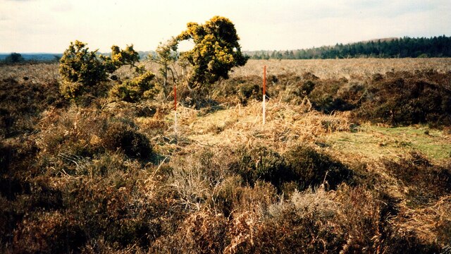
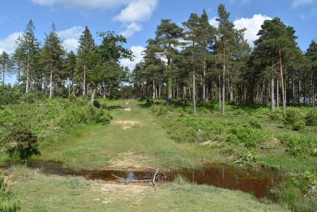
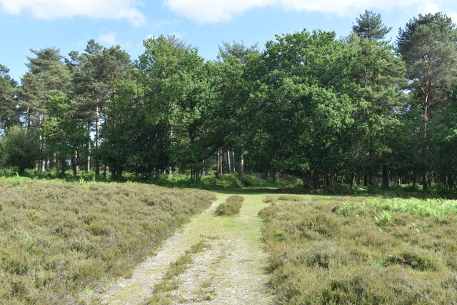
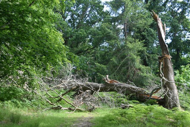
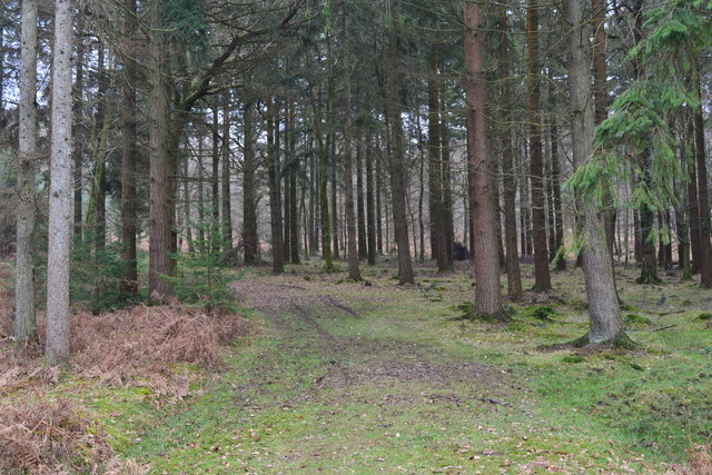
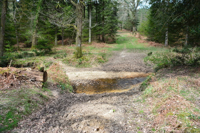
Amberslade Bottom, located in Hampshire, England, is a picturesque valley nestled within the South Downs National Park. This idyllic natural setting is known for its breathtaking beauty, making it a popular destination for nature enthusiasts and hikers alike.

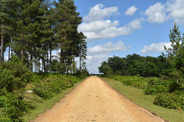
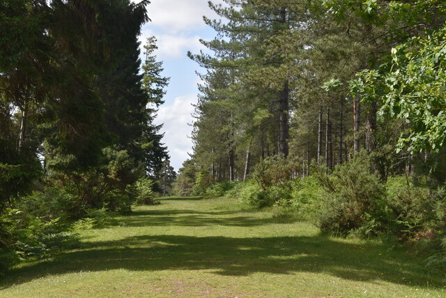
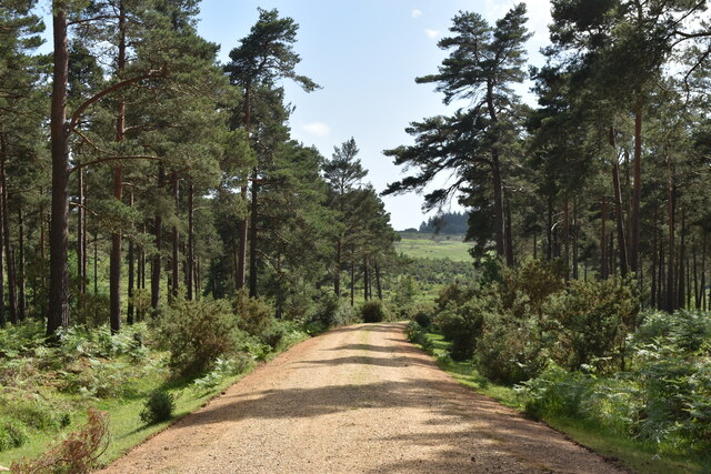
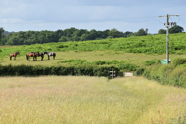
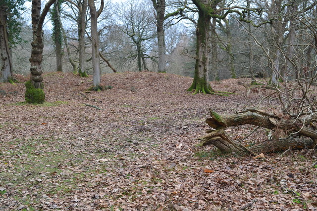
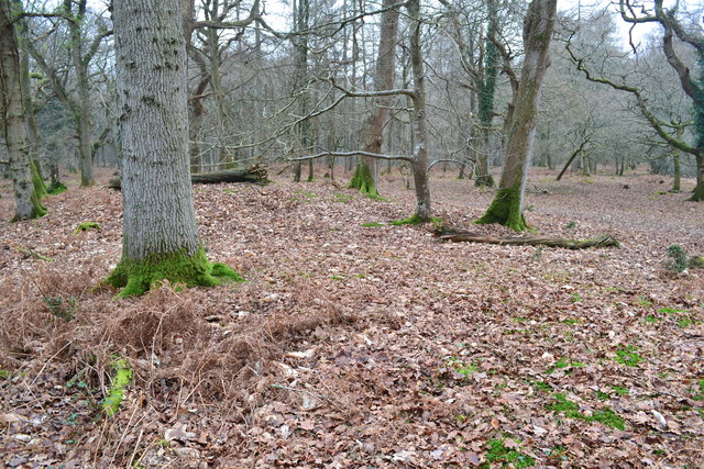
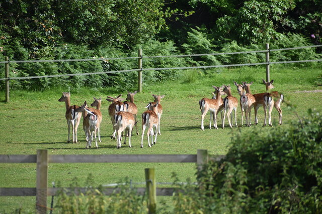
The valley is characterized by its rolling hills, lush green meadows, and meandering streams, creating a serene and tranquil atmosphere. It is home to a diverse range of flora and fauna, including wildflowers, oak trees, and various species of birds.

Amberslade Bottom offers numerous walking trails, allowing visitors to explore its scenic landscapes and enjoy panoramic views of the surrounding countryside. The valley also boasts several picnic areas, providing an ideal spot for a leisurely lunch amidst the peaceful surroundings.

In addition to its natural beauty, Amberslade Bottom holds historical significance. The remains of ancient settlements and archaeological sites can be found within the valley, offering a glimpse into Hampshire's rich past.

The peacefulness and beauty of Amberslade Bottom make it an ideal location for relaxation and rejuvenation. Visitors can immerse themselves in nature, taking in the fresh air and enjoying the tranquility that this hidden gem has to offer.

Overall, Amberslade Bottom is a true haven for those seeking solace in nature. Its stunning landscapes, abundant wildlife, and historical significance make it a must-visit destination for anyone exploring the Hampshire region.

If you have any feedback on the listing, please let us know in the comments section below.

Amberslade Bottom Images

Images are sourced within 2km of 50.896469/-1.7120959 or Grid Reference SU2010. Thanks to Geograph Open Source API. All images are credited.

Bowl Barrow on Ocknell Plain (Scales 1m) <span class="nowrap"><a title="https://historicengland.org.uk/listing/the-list/list-entry/1010085?section=official-listing" rel="nofollow ugc noopener" href="https://historicengland.org.uk/listing/the-list/list-entry/1010085?section=official-listing">Link</a><img style="margin-left:2px;" alt="External link" title="External link - shift click to open in new window" src="https://s1.geograph.org.uk/img/external.png" width="10" height="10"/></span>
Bowl Barrow on Ocknell Plain
(Scales 1m) LinkExternal link
Track towards the eastern car park, Milkham Inclosure
Grassy ride in Milkham Inclosure
Cycle track descending through Milkham Inclosure
Ford on path in Milkham Inclosure
Path into Milkham Inclosure
Track past Forest View Farm
Field edge at Linwood The ponies are grazing on an area of access land known as Black Heath.
Field edge at Linwood
The ponies are grazing on an area of access land known as Black Heath.
Fallen tree at Castle Piece This large fallen tree is within the embankment of the iron age hillfort at Castle Piece.
Fallen tree at Castle Piece
This large fallen tree is within the embankment of the iron age hillfort at Castle Piece.
Grassy track in the forest, Roe Inclosure
Castle Piece hill fort, Roe Inclosure A fairly complete circular earth embankment, believed to be an iron age hill fort <span class="nowrap"><a title="http://www.megalithic.co.uk/article.php?sid=11605" rel="nofollow ugc noopener" href="http://www.megalithic.co.uk/article.php?sid=11605">Link</a><img style="margin-left:2px;" alt="External link" title="External link - shift click to open in new window" src="https://s1.geograph.org.uk/img/external.png" width="10" height="10"/></span>
Castle Piece hill fort, Roe Inclosure
A fairly complete circular earth embankment, believed to be an iron age hill fort LinkExternal link
Castle Piece hill fort, Roe Inclosure Here, standing on the earth embankment in the centre of <a href="https://www.geograph.org.uk/photo/5279273">SU1908 : Castle Piece hill fort, Roe Inclosure</a>, the outline is much harder to see than from a distance.
Castle Piece hill fort, Roe Inclosure
Here, standing on the earth embankment in the centre of SU1908 : Castle Piece hill fort, Roe Inclosure, the outline is much harder to see than from a distance.
Ford at Linwood This is one of five fords at Linwood.
Ford at Linwood
This is one of five fords at Linwood.
Fallow deer at Linwood
Fallow deer at Linwood This group had been sitting drowsing in the afternoon sunshine, but became alert at our approach on the adjacent footpath.
Fallow deer at Linwood
This group had been sitting drowsing in the afternoon sunshine, but became alert at our approach on the adjacent footpath.
Fields and woodland south of High Corner Inn
High Corner Inn
High Corner Inn
Conifer copse outside southwest corner of Hasley Inclosure
Show me another place!

Amberslade Bottom is located at Grid Ref: SU2010 (Lat: 50.896469, Lng: -1.7120959)

Administrative County: Hampshire

District: New Forest

Police Authority: Hampshire

What 3 Words

///decanter.support.funded. Near Fordingbridge, Hampshire

Related Wikis

Linwood, Hampshire

Linwood is a hamlet in the New Forest National Park of Hampshire, England. Its nearest town is Ringwood, which lies approximately 4.2 miles (5.9 km) south...

Ogdens

Ogdens is a small hamlet south of Hyde Common near Frogham in the New Forest area of Hampshire, England. Ogdens is a hamlet in the civil parish of Hyde...

Gorley Lynch

Gorley Lynch is a hamlet in the civil parish of Gorley in the New Forest National Park of Hampshire, England. It is in the civil parish of Hyde. Its nearest...

Furze Hill

Furze Hill (or Furzehill) is a hamlet situated in the New Forest National Park of Hampshire, England. It is in the civil parish of Ellingham, Harbridge...

Ocknell Plain

Ocknell Plain can be found in the New Forest near Southampton, England. The area was used in World War II for the Stoney Cross airfield and it is now very...

Hyde, Hampshire

Hyde is a village and civil parish in the New Forest near Fordingbridge in Hampshire, England. == Overview == The parish of Hyde is mostly within the boundary...

Frogham, Hampshire

Frogham is a small village in the New Forest National Park of Hampshire, England. It is in the civil parish of Hyde. Its nearest town is Fordingbridge...

Gorley Hill

Gorley Hill is the site of a former Iron Age promontory hillfort located in Hampshire in the United Kingdom. The fort once occupied the southwestern corner...

Nearby Amenities

Located within 500m of 50.896469,-1.7120959
Broomy Walk
Place: locality
Lat/Long: 50.8931267/-1.711254
Amberslade Bottom
Place: locality
Lat/Long: 50.8964457/-1.7118463
High Corner
Place: locality
Lat/Long: 50.8943459/-1.7182927
Passing Place
Lat/Long: 50.8921074/-1.7103618
Ford: yes
Lat/Long: 50.8982826/-1.7159399
The data included in this document is from www.openstreetmap.org. The data is made available under ODbL.

Have you been to Amberslade Bottom?

Leave your review of Amberslade Bottom below (or comments, questions and feedback).