Gratton Dale
Valley in Derbyshire Derbyshire Dales
England
Gratton Dale
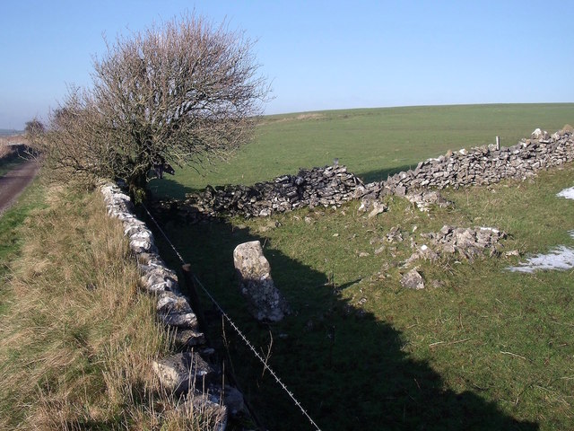
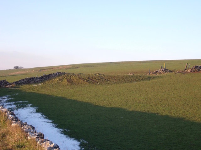
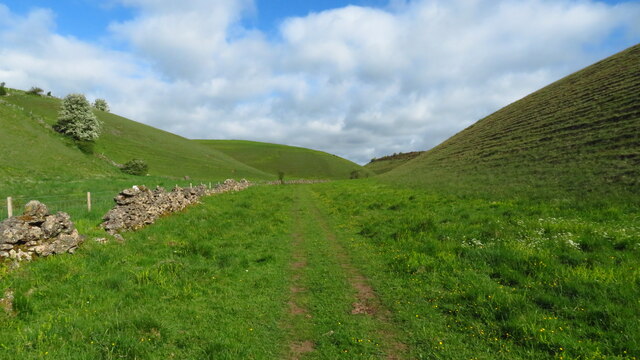
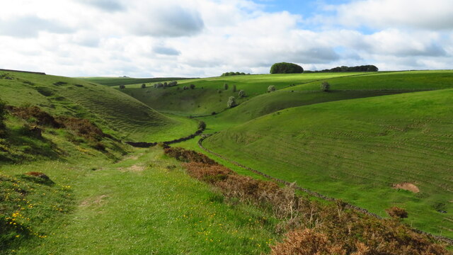
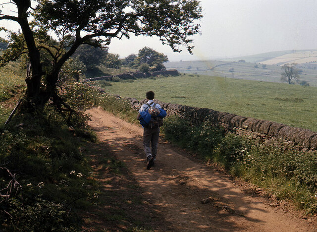
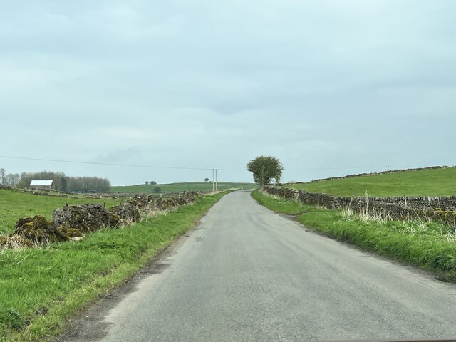
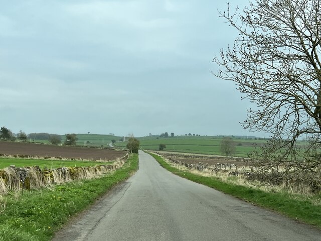
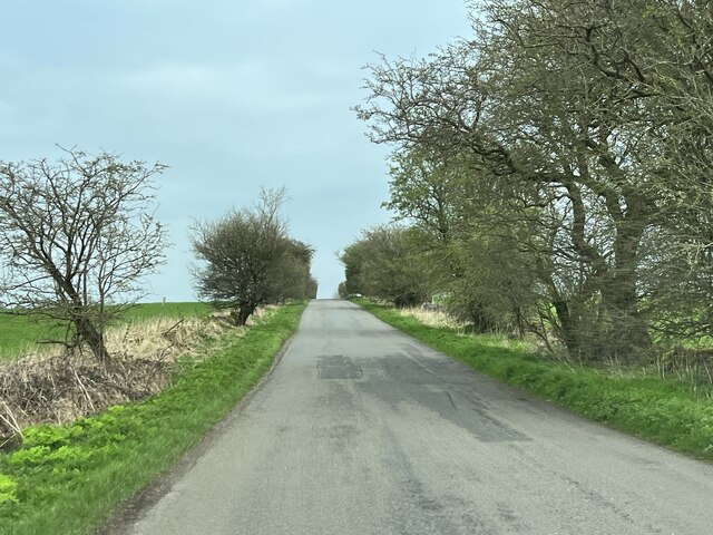
Gratton Dale is a picturesque valley located in the county of Derbyshire, in the East Midlands region of England. It is situated within the Peak District National Park, renowned for its stunning natural beauty and diverse wildlife. The valley is nestled between the limestone hills of the White Peak, offering visitors breathtaking views and a tranquil atmosphere.
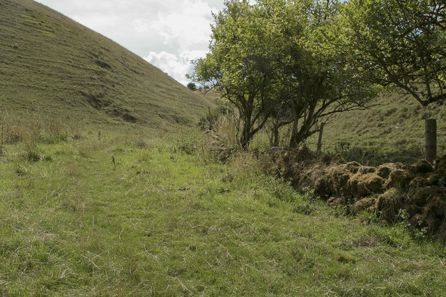
Gratton Dale is known for its lush green meadows, rolling hills, and meandering streams. The valley is particularly famous for its abundance of wildflowers, which create a vibrant display of colors during the spring and summer months. The area is also home to a wide variety of bird species, making it a popular destination for birdwatchers.
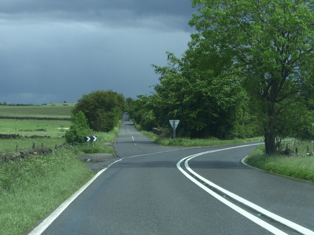
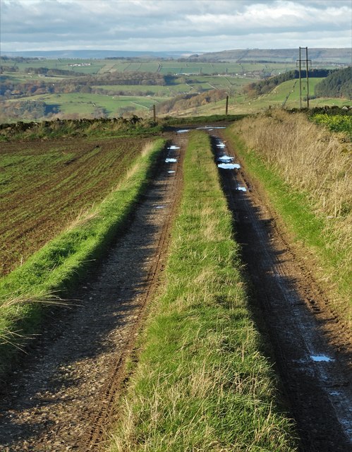
The valley is crisscrossed by several footpaths and trails, allowing visitors to explore its natural wonders at their own pace. One of the most popular routes is the Gratton Dale Circular Walk, which takes hikers through the heart of the valley, offering panoramic views of the surrounding countryside.
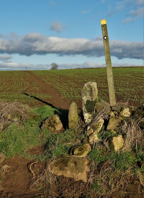
In addition to its natural beauty, Gratton Dale boasts a rich history. The area has evidence of prehistoric settlements, and there are several ancient burial mounds and standing stones scattered throughout the valley. The nearby Gratton Grange Farmhouse, a Grade II listed building, also adds to the historical charm of the area.
Overall, Gratton Dale offers a peaceful escape from the hustle and bustle of modern life, allowing visitors to immerse themselves in the beauty of the Peak District and experience the tranquility of the English countryside.
If you have any feedback on the listing, please let us know in the comments section below.
Gratton Dale Images
Images are sourced within 2km of 53.137465/-1.6983403 or Grid Reference SK2060. Thanks to Geograph Open Source API. All images are credited.


Gratton Dale is located at Grid Ref: SK2060 (Lat: 53.137465, Lng: -1.6983403)
Administrative County: Derbyshire
District: Derbyshire Dales
Police Authority: Derbyshire
What 3 Words
///downs.divider.unpainted. Near Newhaven, Derbyshire
Nearby Locations
Related Wikis

Gratton, Derbyshire
Gratton is a civil parish in the Derbyshire Dales district of central Derbyshire, half a mile west of the neighbouring village, Elton. == See also... ==

Long Dale
Long Dale is a carboniferous limestone valley near the village of Elton, Derbyshire, in the Peak District of England. The dale is cut into the plateau...

Pikehall
Pikehall is a small village in the Derbyshire Dales consisting of a few dozen households and a handful of farms. The population of the village is included...

Dale End, Derbyshire
Dale End is a hamlet in Derbyshire, England to the west of Elton. == References ==

Elton, Derbyshire
Elton is a village and civil parish in the Derbyshire Dales district of Derbyshire, England, and lies within the Peak District. Its nearest towns are Bakewell...

All Saints' Church, Elton
All Saints’ Church, Elton is a Grade II listed Church of England church in Elton, Derbyshire. == History == Elton was originally one of the chapelries...

Gotham Curve
The Gotham Curve was once the sharpest curve on any standard gauge railway line in the UK. The curve, which was situated in the sparsely populated, exposed...

Duke of York Inn, Elton
The Duke of York Inn is a Grade II listed public house at Main Street, Elton, Derbyshire DE4 2BW.It is on the Campaign for Real Ale's National Inventory...
Nearby Amenities
Located within 500m of 53.137465,-1.6983403Have you been to Gratton Dale?
Leave your review of Gratton Dale below (or comments, questions and feedback).