Millersford Bottom
Valley in Hampshire New Forest
England
Millersford Bottom
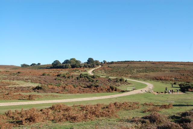
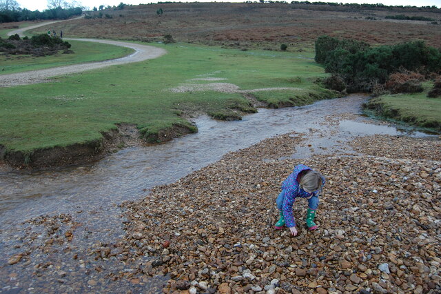
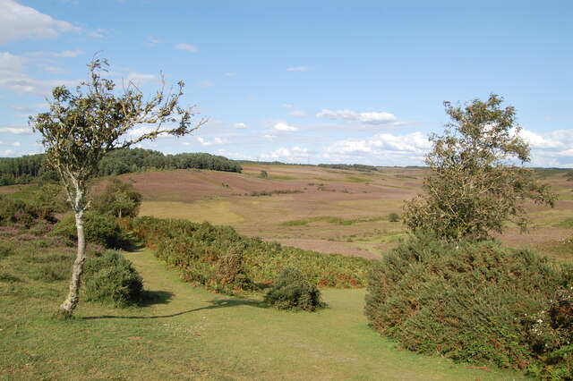
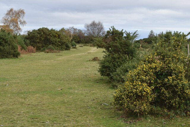
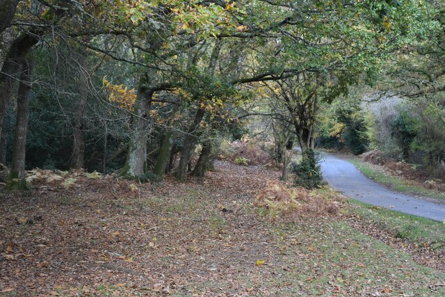
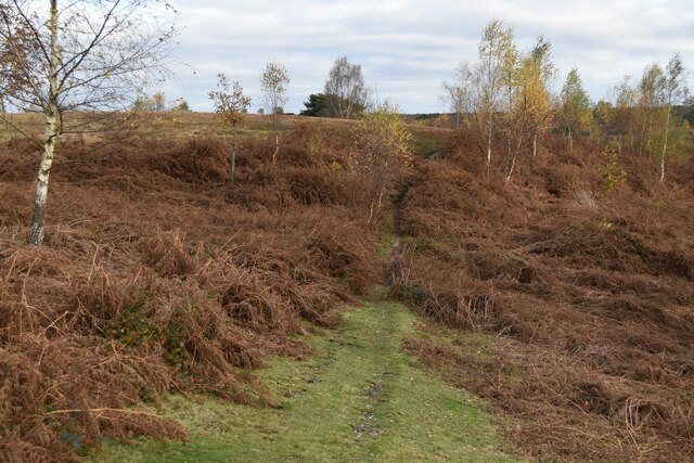
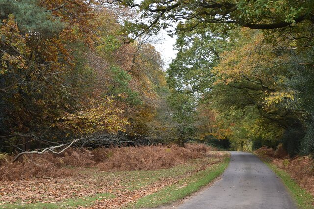
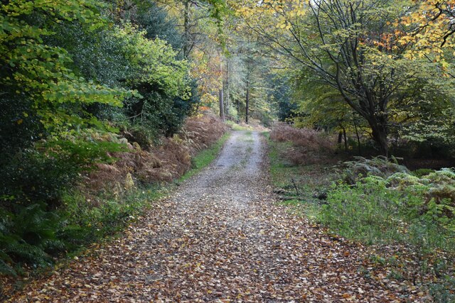
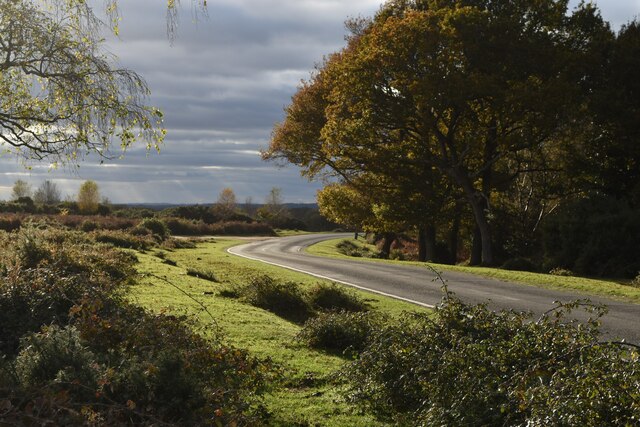
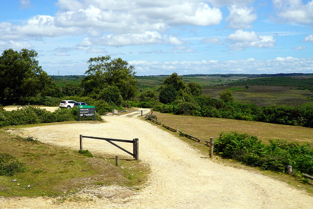
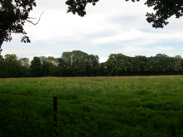
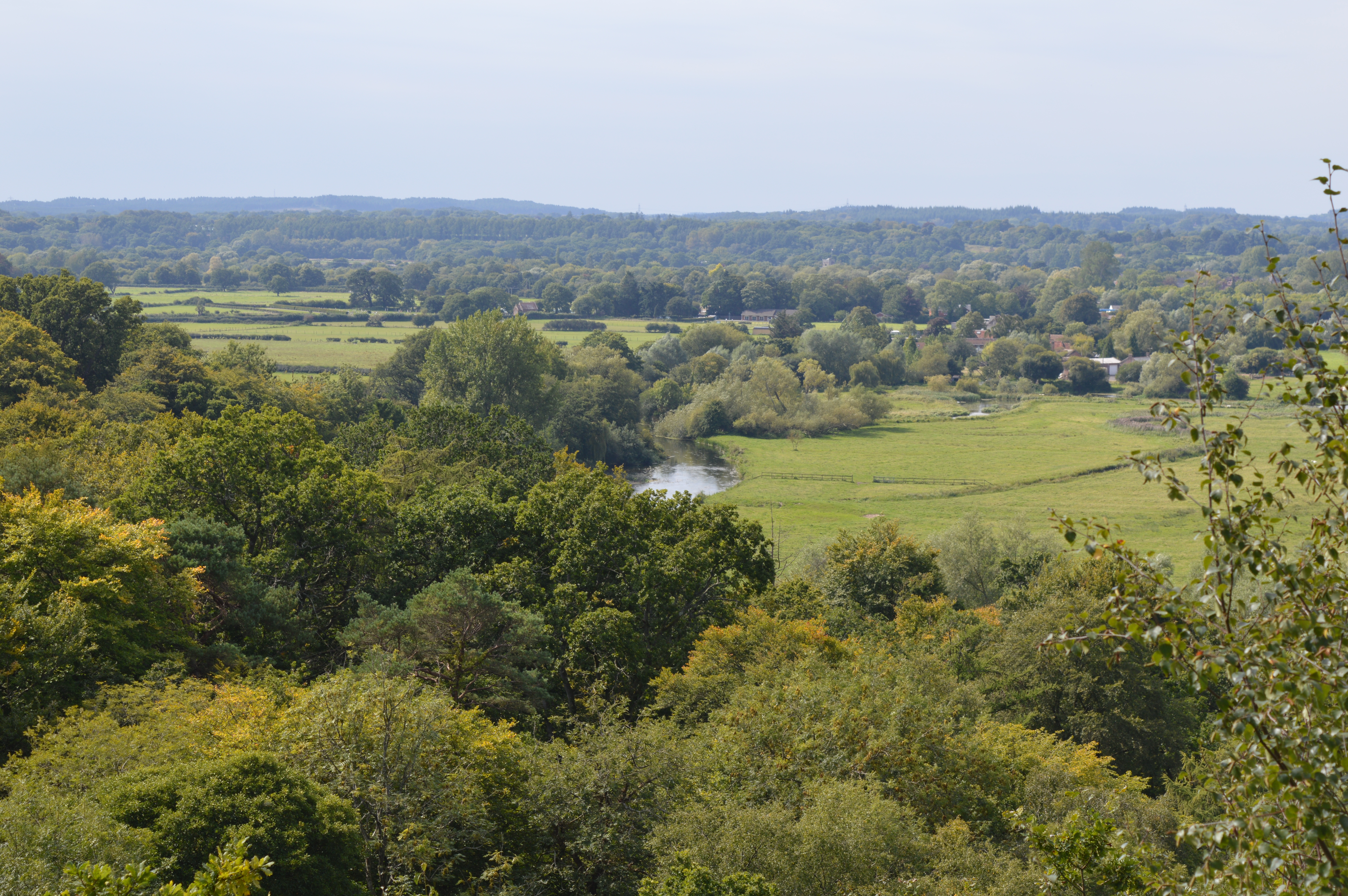
Millersford Bottom, Hampshire, is a picturesque valley located in the southern region of England. Nestled between rolling hills and bordered by a meandering river, this idyllic countryside setting offers a serene and tranquil escape from the bustling city life.
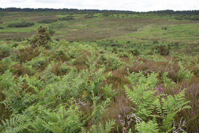
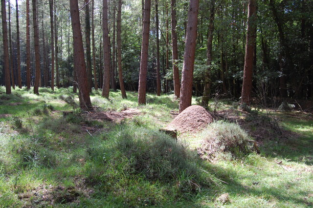
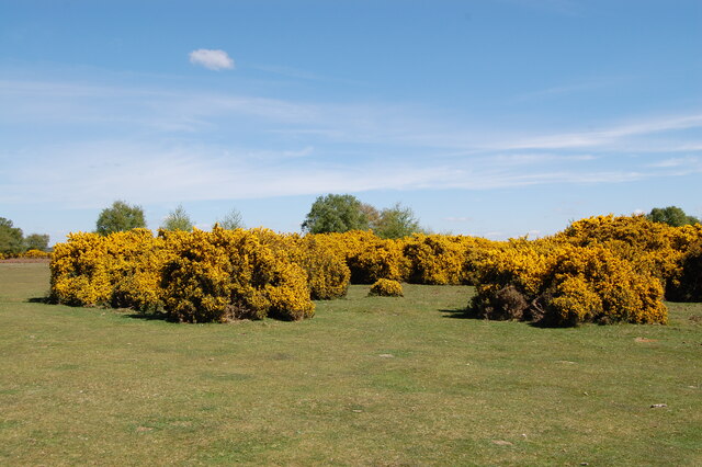
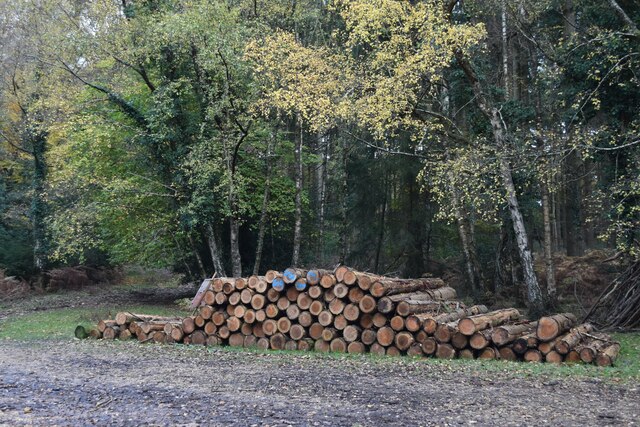
The valley is known for its lush greenery and breathtaking natural beauty. It is home to a diverse range of flora and fauna, making it a popular destination for nature enthusiasts and wildlife photographers. Visitors can expect to encounter a variety of bird species, including kingfishers and herons, as well as small mammals such as rabbits and squirrels.
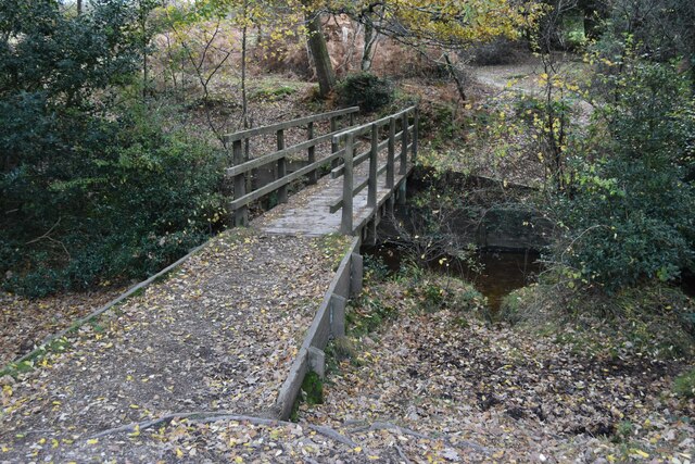
The river that runs through Millersford Bottom adds to the charm of the landscape. Its crystal-clear waters provide a soothing soundtrack as they flow gently along, inviting visitors to take leisurely walks along its banks or even try their hand at fishing. The river is also a popular spot for boating and kayaking, offering opportunities for both relaxation and adventure.
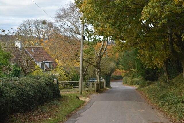
The valley is dotted with quaint villages and hamlets, each exuding their own unique character and charm. These settlements offer a glimpse into the region's rich history, with their well-preserved architecture and historic landmarks. Visitors can explore centuries-old churches, charming cottages, and traditional pubs that serve hearty local cuisine.
Millersford Bottom, Hampshire, truly embodies the essence of rural England. Its natural beauty, peaceful ambiance, and close-knit communities make it a sought-after destination for those seeking a retreat from the fast-paced modern world. Whether one wishes to immerse themselves in nature, explore the region's history, or simply unwind in a picturesque setting, Millersford Bottom offers a slice of quintessential English countryside life.
If you have any feedback on the listing, please let us know in the comments section below.
Millersford Bottom Images
Images are sourced within 2km of 50.949394/-1.7331651 or Grid Reference SU1816. Thanks to Geograph Open Source API. All images are credited.

Millersford Bottom is located at Grid Ref: SU1816 (Lat: 50.949394, Lng: -1.7331651)
Administrative County: Hampshire
District: New Forest
Police Authority: Hampshire
What 3 Words
///riskiest.upholds.irrigate. Near Fordingbridge, Hampshire
Nearby Locations
Related Wikis

Ashley Range
Ashley Range is a former World War II bombing range in the New Forest, Hampshire, England. The range is approximately 5 mi (8.0 km) north-west of Lyndhurst...

Woodgreen
Woodgreen is a village and civil parish within the New Forest district of Hampshire in England. == Overview == Woodgreen lies between Breamore and Hale...
Frankenbury Camp
Frankenbury Camp is the site of an Iron Age univallate hillfort located in Hampshire. The site is on a very slight promontory overlooking the Avon Valley...
Sandy Balls
Sandy Balls is 120 acres (0.49 km2) of woods and parkland near the New Forest in Hampshire, England. Located between the village of Godshill and the town...

Hale, Hampshire
Hale is a small village and civil parish in Hampshire, England. It lies on the border of the New Forest, overlooking the valley of the River Avon. The...

Godshill, Hampshire
Godshill is a village and civil parish and in New Forest National Park in Hampshire, England. It is about 1+1⁄2 miles (2.4 km) east of the town of Fordingbridge...
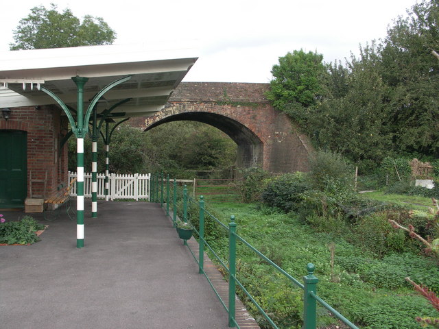
Breamore railway station
Breamore railway station was a railway station in the Avon Valley at the village of Breamore, Hampshire, England. The station was built for the Salisbury...

South Charford
South Charford is a hamlet in the New Forest district, in Hampshire, England. It is in the civil parish of Breamore on the west bank of the River Avon...
Nearby Amenities
Located within 500m of 50.949394,-1.7331651Have you been to Millersford Bottom?
Leave your review of Millersford Bottom below (or comments, questions and feedback).