Cogman Clough
Valley in Yorkshire
England
Cogman Clough
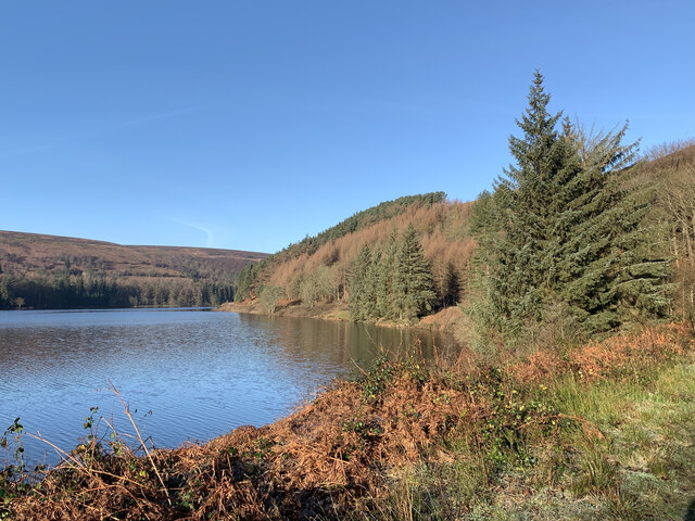
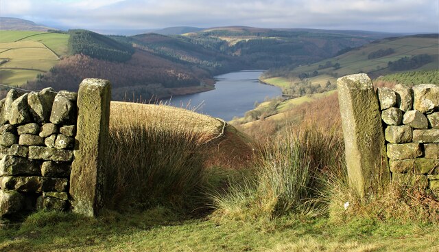
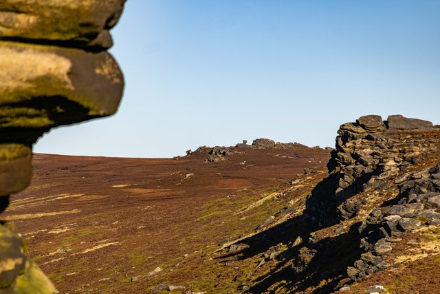
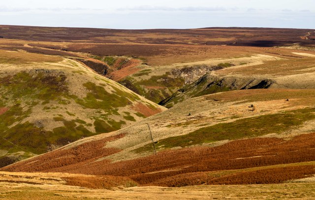
Cogman Clough is a picturesque valley located in Yorkshire, England. Nestled amidst the rolling hills and verdant landscapes, it is a haven for nature enthusiasts and hikers alike. The valley is situated in the heart of the Yorkshire Dales National Park, renowned for its outstanding natural beauty and diverse wildlife.
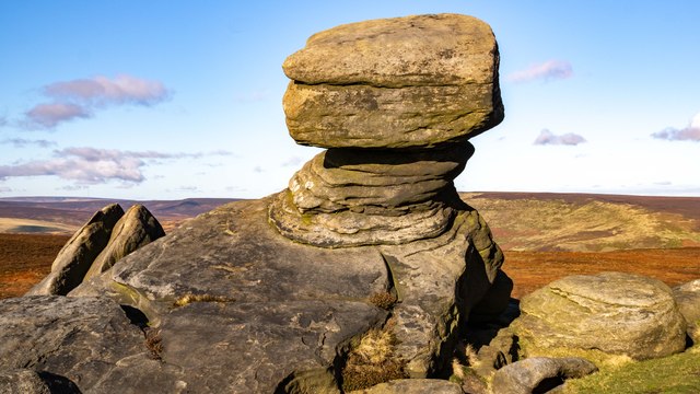
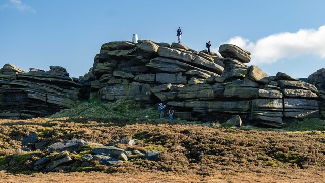
The scenic beauty of Cogman Clough is unparalleled. Lush greenery, punctuated by meandering streams and cascading waterfalls, dominates the landscape. The valley is adorned with a variety of flora and fauna, including wildflowers, mosses, and ferns, creating a vibrant and enchanting atmosphere.
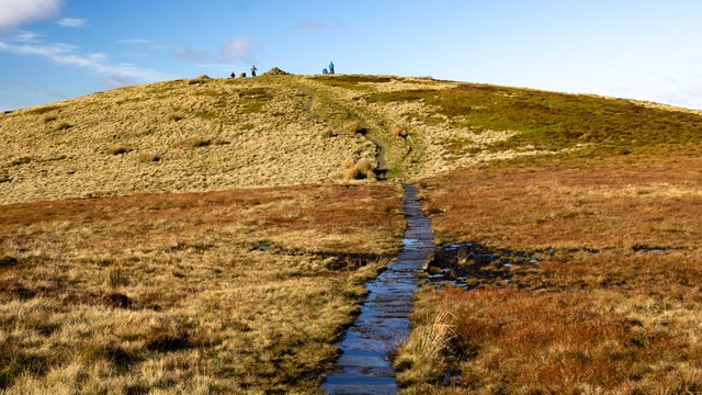
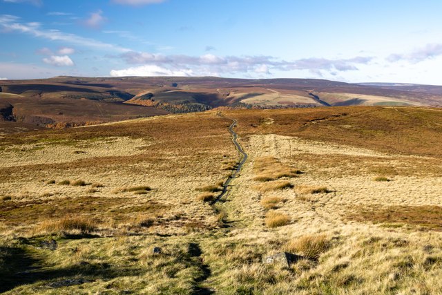
Hiking trails crisscross the valley, allowing visitors to explore its hidden gems. The trails cater to all levels of hikers, from leisurely strolls to more challenging treks. Along these paths, hikers are treated to panoramic views of the valley, with its rolling hills and meadows stretching as far as the eye can see.
Wildlife enthusiasts will also find Cogman Clough a haven for spotting various animal species. The valley is home to a diverse range of creatures, including red deer, rabbits, squirrels, and a plethora of bird species. Birdwatchers can delight in the sight of kestrels, owls, and songbirds, among others.
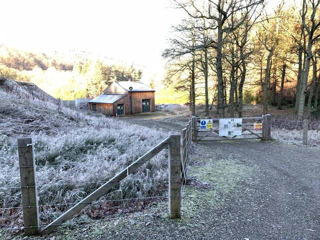
Cogman Clough is not only an oasis of natural beauty but also a place of historical significance. The valley boasts ancient ruins and remnants of its industrial past, such as old mills and quarry sites. These remnants provide a glimpse into the area's rich heritage and add an intriguing dimension to any visit.
Overall, Cogman Clough is a destination that captivates visitors with its stunning landscapes, abundant wildlife, and historical charm. Whether exploring its trails, observing its wildlife, or simply immersing oneself in its peaceful ambiance, this Yorkshire valley offers a truly unforgettable experience for all who venture into its embrace.
If you have any feedback on the listing, please let us know in the comments section below.
Cogman Clough Images
Images are sourced within 2km of 53.425313/-1.7207324 or Grid Reference SK1892. Thanks to Geograph Open Source API. All images are credited.


Cogman Clough is located at Grid Ref: SK1892 (Lat: 53.425313, Lng: -1.7207324)
Division: West Riding
Unitary Authority: Sheffield
Police Authority: South Yorkshire
What 3 Words
///imported.unlimited.offstage. Near Bradfield, South Yorkshire
Nearby Locations
Related Wikis

Lost Lad
Lost Lad is a hill, 518 metres (1,699 ft) high on the Derwent Edge in the Peak District in the county of Derbyshire in England. It is a subpeak of Back...

River Westend
The River Westend flows through the Dark Peak of the Derbyshire Peak District in England. Its source is at Bleaklow Stones on Bleaklow, from where it...

Derwent Reservoir (Derbyshire)
Derwent Reservoir is the middle of three reservoirs in the Upper Derwent Valley in the north of Derbyshire, England. It lies approximately 10 mi (16 km...

Howden Reservoir
The Howden Reservoir is a Y-shaped reservoir, the uppermost of the three in the Upper Derwent Valley, England. The western half of the reservoir lies in...

Howden Edge
Howden Edge (grid reference SK187943) is a peak in the north-east of the Upper Derwent Valley area of the Peak District National Park in England. At 545...

High Stones
High Stones, at 548 metres (1,798 ft), is the highest point within the boundaries of both the City of Sheffield and South Yorkshire, England.High Stones...

Derwent Edge
Derwent Edge is a Millstone Grit escarpment that lies above the Upper Derwent Valley in the Peak District National Park in the English county of Derbyshire...

Margery Hill
Margery Hill is a 546-metre (1,791 ft) hill on the Howden Moors in South Yorkshire, England. It lies towards the northern boundary of the Peak District...
Nearby Amenities
Located within 500m of 53.425313,-1.7207324Have you been to Cogman Clough?
Leave your review of Cogman Clough below (or comments, questions and feedback).