Ashton Clough

Valley in Derbyshire High Peak

England

Ashton Clough

Rising ground on Rowlee Pasture
Rising ground on Rowlee Pasture Credit: Neil Theasby

Ashton Clough is a picturesque valley located in the Derbyshire Dales area of the East Midlands region in England. The valley is set within the Peak District National Park, known for its outstanding natural beauty and stunning landscapes. Ashton Clough is situated near the village of Ashton under Hill, which is about 10 miles south of the city of Derby.

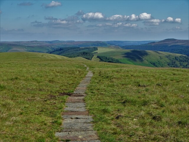
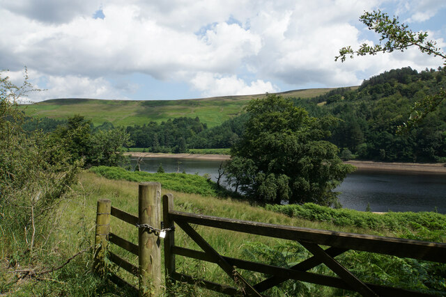
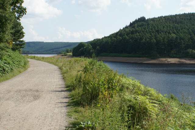
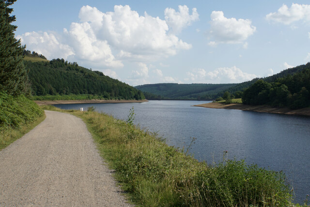
The valley is characterized by its rolling hills, lush green meadows, and charming woodland areas. It is traversed by the Clough Brook, a small river that adds to the overall charm and tranquility of the area. The valley is dotted with traditional stone-built cottages and farmhouses, adding to its rural and idyllic atmosphere.

Ashton Clough is a popular destination for outdoor enthusiasts, offering a wide range of activities such as hiking, cycling, and wildlife spotting. The valley is home to a variety of plant and animal species, including rare orchids and birds of prey. Nature lovers can explore the numerous walking trails that wind through the valley, providing breathtaking views of the surrounding countryside.

Visitors to Ashton Clough can also visit nearby attractions such as Chatsworth House, a grand stately home with beautiful gardens, and the Heights of Abraham, a hilltop park offering stunning views and a cable car ride. The valley is also within close proximity to the charming towns of Bakewell and Matlock, where visitors can enjoy local shops, cafes, and historical landmarks.

Overall, Ashton Clough is a hidden gem within the Derbyshire Dales, offering a peaceful and picturesque retreat for nature lovers and those seeking a break from the hustle and bustle of city life.

If you have any feedback on the listing, please let us know in the comments section below.

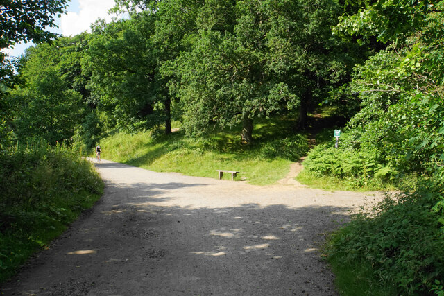
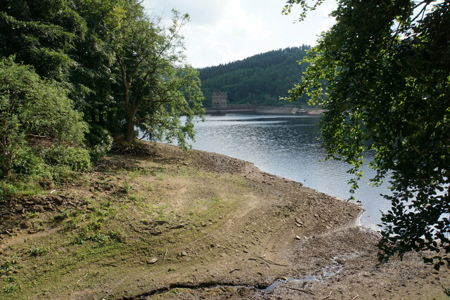
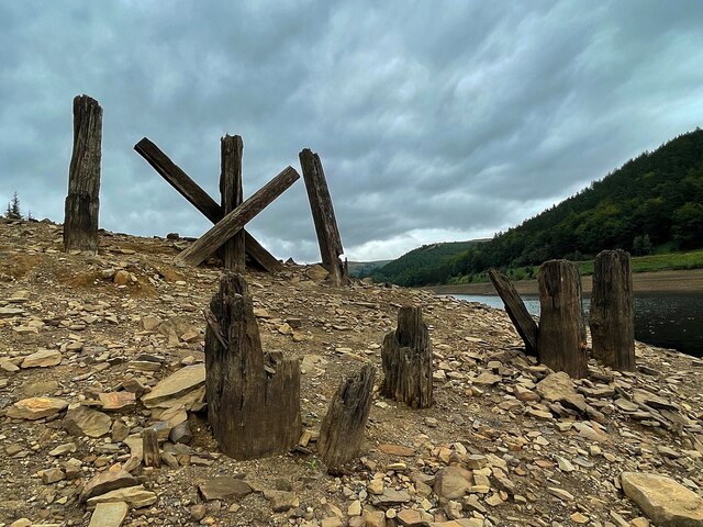
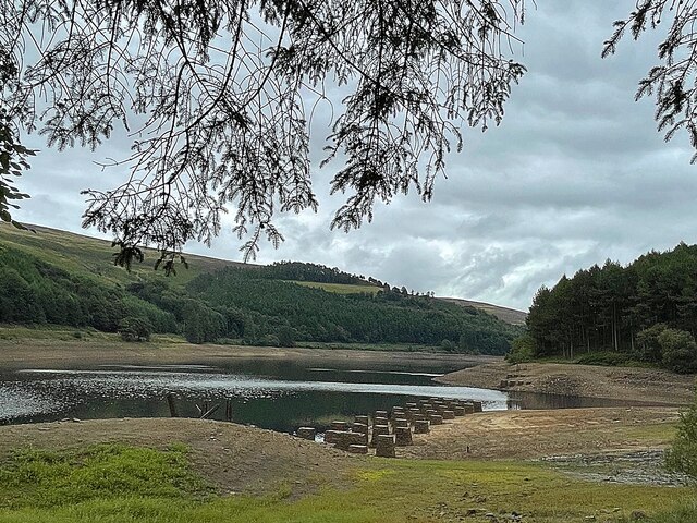
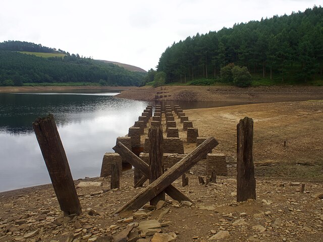
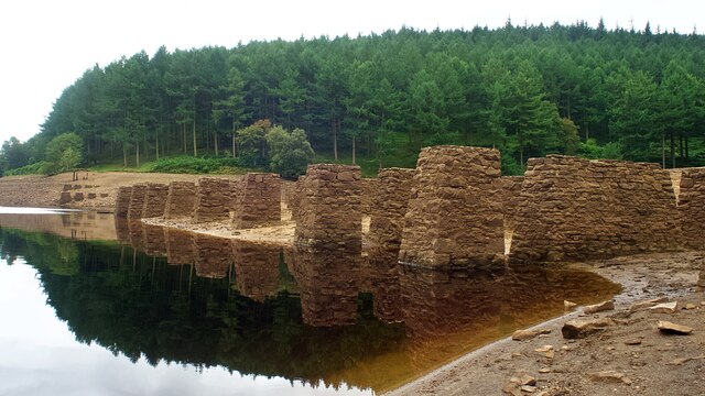
Ashton Clough Images

Images are sourced within 2km of 53.405834/-1.7487324 or Grid Reference SK1689. Thanks to Geograph Open Source API. All images are credited.

Rising ground on Rowlee Pasture
Paved path over Rowlee Pasture Looking towards The Hope Valley
Paved path over Rowlee Pasture
Looking towards The Hope Valley
Paved path to the south of Rowlee Pasture
Path by the road There are worse paths. You don't have to walk on the road and the forest does allow views over the reservoir. On a baking hot day, the trees provide welcome shade.
Path by the road
There are worse paths. You don't have to walk on the road and the forest does allow views over the reservoir. On a baking hot day, the trees provide welcome shade.
Land above Upper Derwent Reservoir Mostly scrub, and there is not much you can do with it.
Land above Upper Derwent Reservoir
Mostly scrub, and there is not much you can do with it.
Gores Farm A rare habitation in this valley. There isn't much scope for farming any more.
Gores Farm
A rare habitation in this valley. There isn't much scope for farming any more.
Inlet on Upper Derwent Reservoir Originally the lower end of Ouzelden Clough.
Inlet on Upper Derwent Reservoir
Originally the lower end of Ouzelden Clough.
Woodland track towards Ouzelden Clough Not a formal footpath but this is access land.
Woodland track towards Ouzelden Clough
Not a formal footpath but this is access land.
Upper Derwent Reservoir I think the stone blocks in the water may be former footings of a railway bridge across Ouzelden Brook.
Upper Derwent Reservoir
I think the stone blocks in the water may be former footings of a railway bridge across Ouzelden Brook.
Path through Birchinlee East Plantation The nettles and mounds suggest former habitation, and this was probably part of the former village of Birchinlee.
Path through Birchinlee East Plantation
The nettles and mounds suggest former habitation, and this was probably part of the former village of Birchinlee.
Cycle path by Upper Derwent Reservoir This is the first view of Derwent Dam when coming down the eastern side of the reservoir.
Cycle path by Upper Derwent Reservoir
This is the first view of Derwent Dam when coming down the eastern side of the reservoir.
Cycle path by Upper Derwent Reservoir Derwent Dam is now visible straight ahead.
Cycle path by Upper Derwent Reservoir
Derwent Dam is now visible straight ahead.
Path junction at the bottom of Walker's Clough The path up the clough is marked by Peak & Northern Footpaths Society sign no. 191.
Path junction at the bottom of Walker's Clough
The path up the clough is marked by Peak & Northern Footpaths Society sign no. 191.
The bottom of Hollin Clough Where it enters Upper Derwent Reservoir.
The bottom of Hollin Clough
Where it enters Upper Derwent Reservoir.
Remains of Birchinlee Viaduct The viaduct carried the railway used in the construction of the Derwent dams over Ouzelden Clough. The water level was low with capacity below 50% on the day of the visit. The low water level has exposed the stone foundations <a href="https://www.geograph.org.uk/photo/6943062">SK1691 : Foundations of Birchinlee Viaduct</a> but these fragments of wooden beams have survived over 100 years as they are usually above the water level.
Remains of Birchinlee Viaduct
The viaduct carried the railway used in the construction of the Derwent dams over Ouzelden Clough. The water level was low with capacity below 50% on the day of the visit. The low water level has exposed the stone foundations SK1691 : Foundations of Birchinlee Viaduct but these fragments of wooden beams have survived over 100 years as they are usually above the water level.
Upper Derwent Reservoir The stone foundations of the railway bridge over Ouzelden Clough can be seen in the foreground. The railway was built for the construction of the Derwent and Howden dams and the foundations have been exposed due to the low water level.
Upper Derwent Reservoir
The stone foundations of the railway bridge over Ouzelden Clough can be seen in the foreground. The railway was built for the construction of the Derwent and Howden dams and the foundations have been exposed due to the low water level.
Foundations of Birchinlee Viaduct The viaduct carried the railway used in the construction of the Derwent and Howden dams over Ouzelden Clough. The water level was low with capacity at 50% on the day of the visit.
Foundations of Birchinlee Viaduct
The viaduct carried the railway used in the construction of the Derwent and Howden dams over Ouzelden Clough. The water level was low with capacity at 50% on the day of the visit.
Show me another place!

Ashton Clough is located at Grid Ref: SK1689 (Lat: 53.405834, Lng: -1.7487324)

Administrative County: Derbyshire

District: High Peak

Police Authority: Derbyshire

What 3 Words

///earmarked.spark.portable. Near Hope Valley, Derbyshire

Related Wikis

Nearby Amenities

Located within 500m of 53.405834,-1.7487324
Monument to the Dambusters
Historic: monument
Wikidata: Q119789118
Lat/Long: 53.4051126/-1.744474
Tip the Faithful Sheepdog
Historic: memorial
Inscription: In commemoration of the devotion of Tip. The sheepdog which stayed by the body of her dead master Mr. Joseph Tagg on the Howden Moors for fifteen weeks from 12th December 1953 to 27th March 1954.
Memorial: stone
Website: https://www.atlasobscura.com/places/the-memorial-to-tip-the-faithful-sheepdog-derbyshire-england
Wikidata: Q119788983
Lat/Long: 53.4053405/-1.7447647
Barrier: cattle_grid
Source: gps
Lat/Long: 53.4059234/-1.7456428
Ashton Clough
Place: locality
Lat/Long: 53.4058955/-1.7506883
Lockerbrook Heights
Place: locality
Lat/Long: 53.4049485/-1.7556708
Bicycle Parking
Bicycle Parking: stands
Capacity: 8
Capacity Note: 4 stands; per_capacity=2
Lat/Long: 53.4042122/-1.7441212
Hiking: yes
Horse: yes
Information: guidepost
Material: wood
Tourism: information
Lat/Long: 53.4032963/-1.7523492
Bench
Backrest: no
Lat/Long: 53.4053375/-1.7448285
Bench
Backrest: no
Lat/Long: 53.405312/-1.7447984
Bench
Backrest: yes
Lat/Long: 53.4050966/-1.7445446
Man Made: survey_point
Lat/Long: 53.4056034/-1.7449668
The data included in this document is from www.openstreetmap.org. The data is made available under ODbL.

Have you been to Ashton Clough?

Leave your review of Ashton Clough below (or comments, questions and feedback).