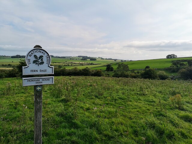
Fern Dale

Valley in Derbyshire Derbyshire Dales

England

Fern Dale

Old Guide Stone by track, Derby Lane, South of Manor House Farm The Guide Stone is located South East of Summerhill Farm, used as a gatepost on the East of the road.  Parish of Monyash (Derbyshire Dales District). Carved stone post, Moorland Guidestoop design, erected by the parish in the 18th Century, old chips. 

Inscription reads:- 
BAKE / WEL / RO : : DARBY / RO : : CHE / DEL / RO : : BVXTON / BP / RO 

Milestone Society National ID: DE_XMON
Old Guide Stone by track, Derby Lane, South of Manor House Farm Credit: Mike Parsons

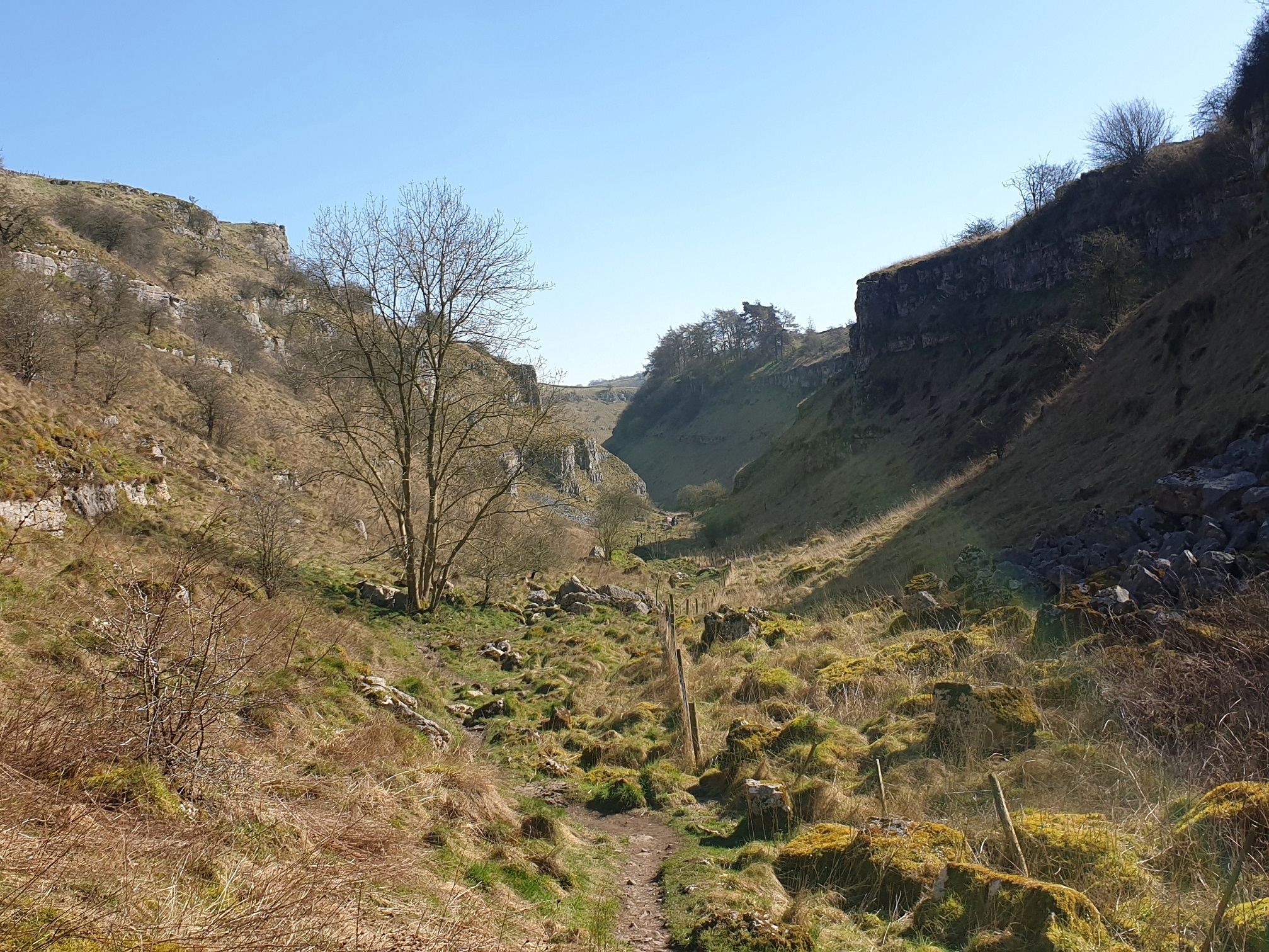
Fern Dale is a picturesque valley located in Derbyshire, England. Nestled amidst the rolling hills of the Peak District, this idyllic spot offers visitors a tranquil escape from the hustle and bustle of urban life.

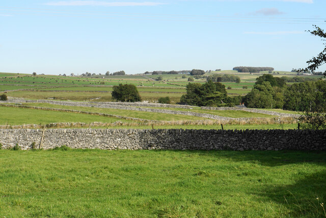
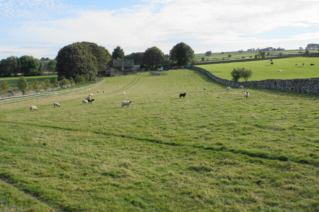
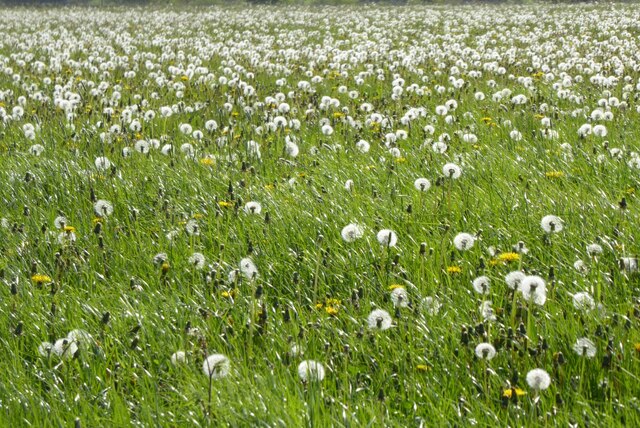
The valley is renowned for its stunning natural beauty, characterized by lush green meadows, dense woodlands, and meandering streams. The diverse flora and fauna found in Fern Dale make it a haven for nature lovers and wildlife enthusiasts. Visitors can spot a variety of bird species, including the elusive kingfisher, as well as rabbits, squirrels, and other small mammals.

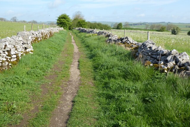
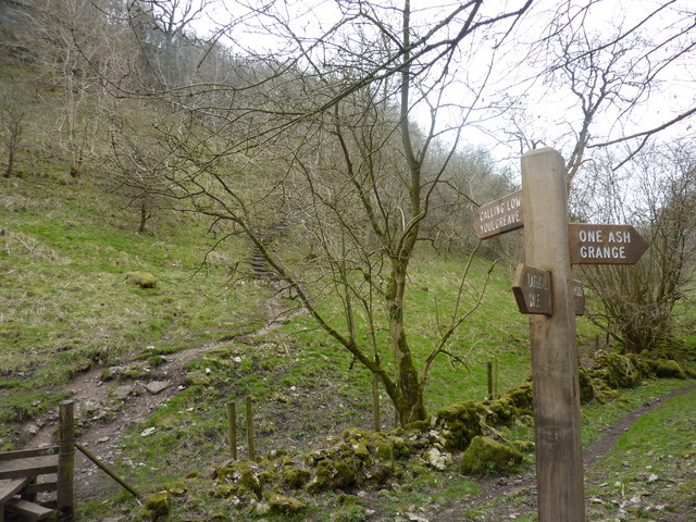
Walking trails crisscross the valley, providing ample opportunities for hikers and ramblers to explore the area. The trails meander through ancient woodlands, offering glimpses of enchanting wildflowers that bloom during the spring and summer months. The valley also boasts several viewpoints that provide panoramic vistas of the surrounding landscape, making it a popular spot for photographers.

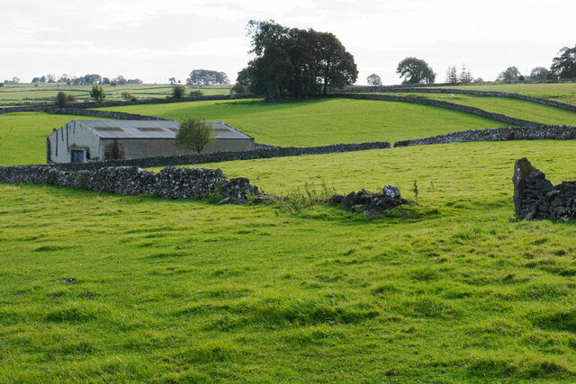
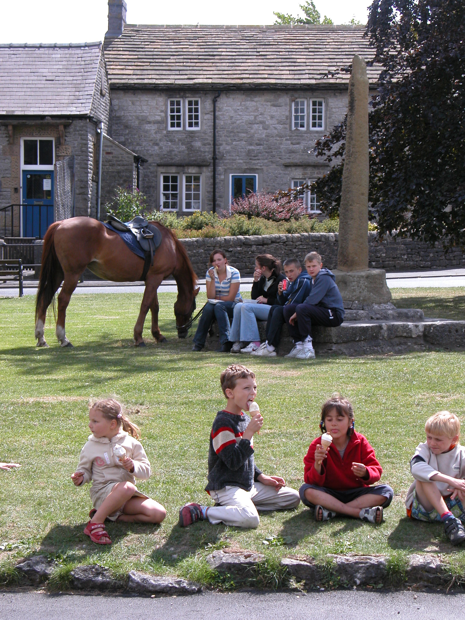
Fern Dale is home to a small, close-knit community, with a handful of charming cottages dotted along its meandering lanes. The residents take pride in preserving the valley's natural beauty and work together to maintain its pristine environment.

Visitors to Fern Dale can enjoy a range of recreational activities, including picnicking, wildlife spotting, and photography. Local authorities have also set up designated areas for camping and barbecues, allowing visitors to fully immerse themselves in this scenic retreat.

In conclusion, Fern Dale, Derbyshire is a hidden gem, offering visitors a chance to reconnect with nature and enjoy the tranquility of the English countryside.

If you have any feedback on the listing, please let us know in the comments section below.
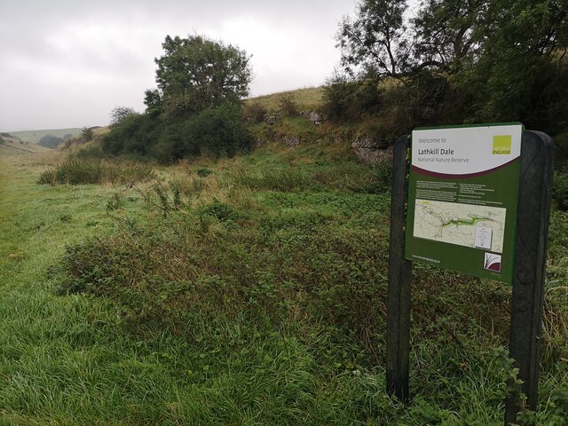
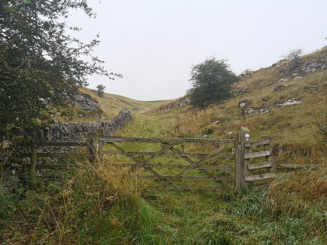
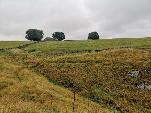
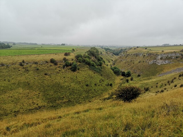
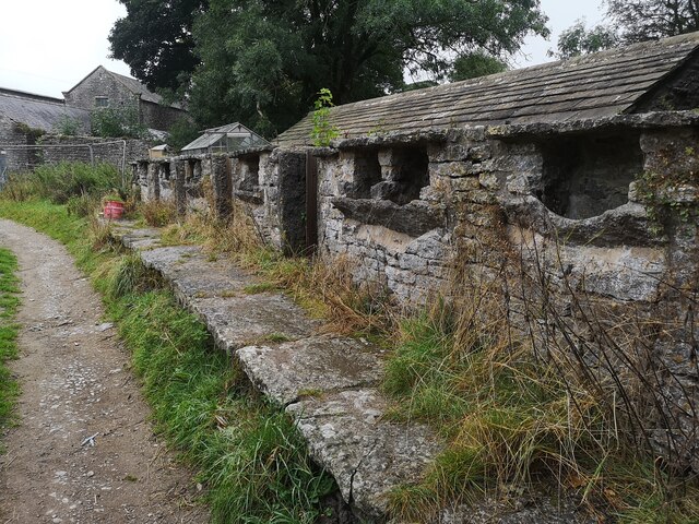
Fern Dale Images

Images are sourced within 2km of 53.189208/-1.7630046 or Grid Reference SK1565. Thanks to Geograph Open Source API. All images are credited.

Old Guide Stone by track, Derby Lane, South of Manor House Farm The Guide Stone is located South East of Summerhill Farm, used as a gatepost on the East of the road.  Parish of Monyash (Derbyshire Dales District). Carved stone post, Moorland Guidestoop design, erected by the parish in the 18th Century, old chips. 

Inscription reads:- 
BAKE / WEL / RO : : DARBY / RO : : CHE / DEL / RO : : BVXTON / BP / RO 

Milestone Society National ID: DE_XMON
Old Guide Stone by track, Derby Lane, South of Manor House Farm
The Guide Stone is located South East of Summerhill Farm, used as a gatepost on the East of the road. Parish of Monyash (Derbyshire Dales District). Carved stone post, Moorland Guidestoop design, erected by the parish in the 18th Century, old chips. Inscription reads:- BAKE / WEL / RO : : DARBY / RO : : CHE / DEL / RO : : BVXTON / BP / RO Milestone Society National ID: DE_XMON
Signs to Arbor Low and Upper Oldhams A beef farm close to Arbor Low henge. There is no public right of way through this farm or its surrounding fields, but visitors are invited to contribute £1 by way of purchasing a temporary right of passage to the henge, and the English Heritage car park is part way up this track.
Signs to Arbor Low and Upper Oldhams
A beef farm close to Arbor Low henge. There is no public right of way through this farm or its surrounding fields, but visitors are invited to contribute £1 by way of purchasing a temporary right of passage to the henge, and the English Heritage car park is part way up this track.
Minor road below Arbor Low Note the rosebay-willowherb growing in the verge.  This plant seems to be generally less abundant than it was when I was young, but we saw quite a bit of it in Derbyshire on this occasion.
Minor road below Arbor Low
Note the rosebay-willowherb growing in the verge. This plant seems to be generally less abundant than it was when I was young, but we saw quite a bit of it in Derbyshire on this occasion.
A long wall This dry stone wall continues for 280 metres in a straight line, not unusual for this part of Derbyshire.
A long wall
This dry stone wall continues for 280 metres in a straight line, not unusual for this part of Derbyshire.
Welcome to Lathkill Dale Entrance just off B5055 near Monyash
Welcome to Lathkill Dale
Entrance just off B5055 near Monyash
Ricklow Dale Path leaving Ricklow Quarry
Ricklow Dale
Path leaving Ricklow Quarry
Farm Buildings near Haddon Grove Farm Taken from footpath on northern edge of Lathkill Dale
Farm Buildings near Haddon Grove Farm
Taken from footpath on northern edge of Lathkill Dale
Lathkill Dale Looking west from the northern edge of Lathkill Dale
Lathkill Dale
Looking west from the northern edge of Lathkill Dale
One Ash Grange Farm Not sure what these are for. Some old cattle feeders?
One Ash Grange Farm
Not sure what these are for. Some old cattle feeders?
Fern Dale Near Monyash
Fern Dale
Near Monyash
Fields by Cross Lane Looking up towards the top of the ridge along which the A515 runs.
Fields by Cross Lane
Looking up towards the top of the ridge along which the A515 runs.
Barn by Cross Lane Farm Assisting sheep farming.
Barn by Cross Lane Farm
Assisting sheep farming.
Sheep by Cross Lane Farm Sheep are the predominant farming activity, but there are some nearby cattle.
Sheep by Cross Lane Farm
Sheep are the predominant farming activity, but there are some nearby cattle.
Dandelion clocks Dandelion clocks are in an abundance in these fields beside the Limestone Way near Monyash.
Dandelion clocks
Dandelion clocks are in an abundance in these fields beside the Limestone Way near Monyash.
The Limestone Way The Limestone Way following a footpath to the south-east of Monyash.
The Limestone Way
The Limestone Way following a footpath to the south-east of Monyash.
A clump of trees A clump of trees on a mound in a field beside the Limestone Way near Monyash.
A clump of trees
A clump of trees on a mound in a field beside the Limestone Way near Monyash.
Ochids in Fern Dale Ochids in Fern Dale beside the Limestone Way.
Ochids in Fern Dale
Ochids in Fern Dale beside the Limestone Way.
Orchid in flower Orchid in flower in a field in Fern Dale.
Orchid in flower
Orchid in flower in a field in Fern Dale.
Show me another place!

Fern Dale is located at Grid Ref: SK1565 (Lat: 53.189208, Lng: -1.7630046)

Administrative County: Derbyshire

District: Derbyshire Dales

Police Authority: Derbyshire

What 3 Words

///yappy.talkers.brotherly. Near Youlgreave, Derbyshire

Nearby Locations

Monyash Fern Dale

Related Wikis

Lathkill Dale

Lathkill Dale is the valley of the River Lathkill near Bakewell, Derbyshire in the Peak District of England. The river emerges into the dale from springs...

Monyash

Monyash (/muhn-ee-ash/ munyash) is a village and civil parish in the Peak District, Derbyshire, England, 5 miles (8.0 km) west of the market town Bakewell...

Cales Dale

Cales Dale is a short valley towards the head of Lathkill Dale near Monyash, Derbyshire in the Peak District of England. Cales Dale is included within...

Limey Way

The Limey Way is a 65-kilometre (40 mi) challenge walk through Derbyshire, England. It starts at Castleton and progresses through 15 major and 5 minor...

Nearby Amenities

Located within 500m of 53.189208,-1.7630046
Barrier: stile
Material: stone
Stile: stepover
Lat/Long: 53.1858708/-1.7590906
Barrier: stile
Lat/Long: 53.1919693/-1.7594697
Lathkill Dale
Description: Lathkill Dale
Ele: 234.9260254
Information: board
Tourism: information
Lat/Long: 53.1933378/-1.7626287
Power: pole
Source: Bing
Lat/Long: 53.1865583/-1.7643683
Power: pole
Source: Bing
Lat/Long: 53.1868882/-1.7657228
Power: pole
Source: Bing
Lat/Long: 53.1872425/-1.7671273
Power: pole
Source: Bing
Lat/Long: 53.1853964/-1.7596122
Power: pole
Source: Bing
Lat/Long: 53.1857875/-1.7612214
Power: pole
Source: Bing
Lat/Long: 53.187726/-1.7691137
Power: pole
Source: Bing
Lat/Long: 53.1861741/-1.7627824
Barrier: stile
Material: stone
Stile: squeezer
Lat/Long: 53.1878225/-1.7649001
Barrier: kissing_gate
Source: survey;gps
Lat/Long: 53.1934107/-1.7626329
Bench
Lat/Long: 53.1878149/-1.7648068
The data included in this document is from www.openstreetmap.org. The data is made available under ODbL.

Have you been to Fern Dale?

Leave your review of Fern Dale below (or comments, questions and feedback).