High Dale

Valley in Derbyshire Derbyshire Dales

England

High Dale

Taddington Telephone Exchange (2) Taken in Horse Mill Lane, this photo shows the TE, built of limestone, with what I think is a generator in front of it. Presumably, this is to supply power to the TE in an emergency. A ventilation louvre can just be seen on the side of the TE. The numbering range of this TE is (01298) 85xxx, the (01298) referring to the Buxton group of TEs, and its postcode is SK17 9TR.
Taddington Telephone Exchange (2) Credit: David Hillas

High Dale is a picturesque valley located in the county of Derbyshire, England. Nestled within the stunning Peak District National Park, it is renowned for its natural beauty and tranquil surroundings. The valley is situated between two peaks, providing visitors with breathtaking panoramic views of rolling hills, lush green meadows, and dense woodlands.

The river Dale gracefully meanders through the valley, adding to its charm and creating a thriving ecosystem for various species of flora and fauna. The river is a popular spot for fishing enthusiasts, who can try their luck at catching brown trout and grayling. Additionally, the river offers a serene setting for leisurely walks or picnics along its banks.

High Dale is a haven for outdoor enthusiasts, offering an extensive network of footpaths and trails, perfect for hiking, cycling, and horse riding. The valley is home to several well-marked routes, catering to different abilities and interests. One such trail is the High Dale Circular Walk, which takes visitors on a 10-mile journey through the valley, showcasing its natural wonders and historical landmarks.

For those seeking a taste of history, High Dale boasts several notable landmarks. The ruins of High Dale Hall, a medieval manor house, provide a glimpse into the valley's past. The hall was once home to wealthy landowners and played a significant role in the local community.

In conclusion, High Dale offers visitors a peaceful retreat in the heart of Derbyshire's stunning countryside. With its captivating landscapes, outdoor activities, and historical attractions, it is a destination that caters to nature lovers, history enthusiasts, and those seeking an escape from the hustle and bustle of city life.

If you have any feedback on the listing, please let us know in the comments section below.
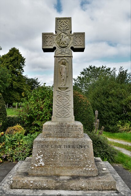
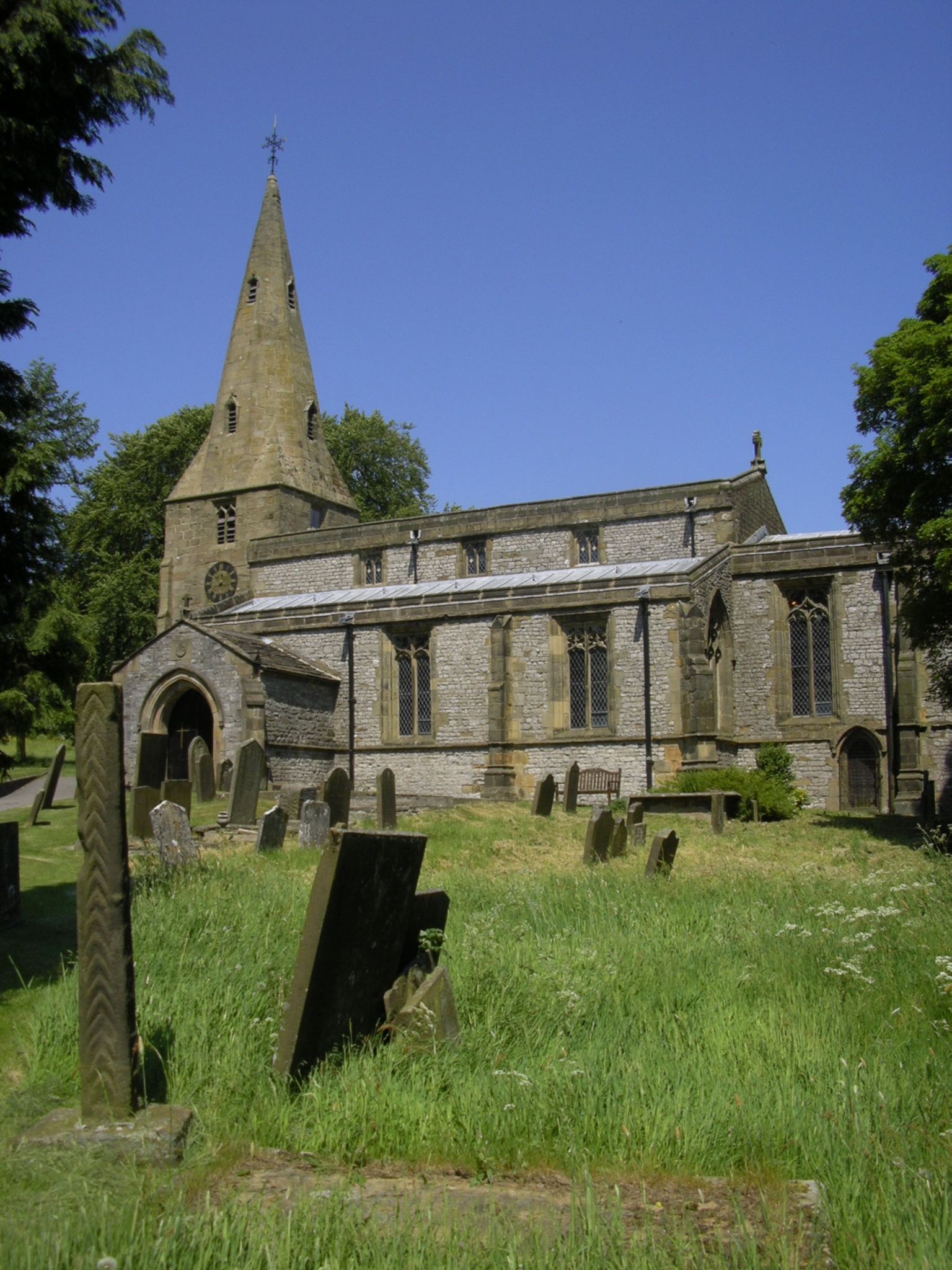
High Dale Images

Images are sourced within 2km of 53.242994/-1.7703951 or Grid Reference SK1571. Thanks to Geograph Open Source API. All images are credited.

Taddington Telephone Exchange (2) Taken in Horse Mill Lane, this photo shows the TE, built of limestone, with what I think is a generator in front of it. Presumably, this is to supply power to the TE in an emergency. A ventilation louvre can just be seen on the side of the TE. The numbering range of this TE is (01298) 85xxx, the (01298) referring to the Buxton group of TEs, and its postcode is SK17 9TR.
Taddington Telephone Exchange (2)
Taken in Horse Mill Lane, this photo shows the TE, built of limestone, with what I think is a generator in front of it. Presumably, this is to supply power to the TE in an emergency. A ventilation louvre can just be seen on the side of the TE. The numbering range of this TE is (01298) 85xxx, the (01298) referring to the Buxton group of TEs, and its postcode is SK17 9TR.
Taddington, St. Michael and All Saints Church
Taddington, St. Michael and All Saints Church: The churchyard
Taddington, St. Michael and All Saints Church: Southern aspect
Taddington, St. Michael and All Saints Church: Niched sculpture in the north wall
Taddington, St. Michael and All Saints Church: Northern aspect
Taddington, St. Michael and All Saints Church: The churchyard
Taddington, St. Michael and All Saints Church: Ancient cross shaft
Taddington War Memorial
Litton, Bottomhill Road Gatepost BM BM on gatepost, E side of road
Litton, Bottomhill Road Gatepost BM
BM on gatepost, E side of road
Cressbrook, Bottomhill Road BM on roadside wall
Cressbrook, Bottomhill Road
BM on roadside wall
Path in Monsal Dale Looking up the dale. The River Wye is off to the right.
Path in Monsal Dale
Looking up the dale. The River Wye is off to the right.
Path by the River Wye Heading down Monsal Dale.
Path by the River Wye
Heading down Monsal Dale.
Autumn on the Monsal Trail Section of the former railway track that once connected Manchester to Matlock, opened in 1865.
Closed in 1968, the Monsal Trail has taken 8.5 miles of this link as a leisure facility for walkers, cyclists and the horse fraternity.
Autumn on the Monsal Trail
Section of the former railway track that once connected Manchester to Matlock, opened in 1865. Closed in 1968, the Monsal Trail has taken 8.5 miles of this link as a leisure facility for walkers, cyclists and the horse fraternity.
On the Monsal Trail Section of the former Manchester/Matlock railway that closed in 1968. Now a very popular 8.5 mile leisure trail.
On the Monsal Trail
Section of the former Manchester/Matlock railway that closed in 1968. Now a very popular 8.5 mile leisure trail.
Cutting on the Monsal Trail Section of the former Manchester to Matlock line, built by the Midland Railway in 1865.
It closed in 1968, with 8.5 miles converted to leisure use - populated by cyclists, walkers and the odd horse rider.
Cutting on the Monsal Trail
Section of the former Manchester to Matlock line, built by the Midland Railway in 1865. It closed in 1968, with 8.5 miles converted to leisure use - populated by cyclists, walkers and the odd horse rider.
Footbridge over the River Wye
Show me another place!

High Dale is located at Grid Ref: SK1571 (Lat: 53.242994, Lng: -1.7703951)

Administrative County: Derbyshire

District: Derbyshire Dales

Police Authority: Derbyshire

What 3 Words

///escalates.lies.crispier. Near Tideswell, Derbyshire

Nearby Locations

Brushfield High Dale

Related Wikis

Brushfield

Brushfield is a hamlet and civil parish in the Derbyshire Dales district of Derbyshire, England, in the Peak District National Park. It is about 8 miles...

Litton Mill

Litton Mill is a textile mill at Millers Dale, near Tideswell in Derbyshire. The original 19th-century mill became notorious during the Industrial Revolution...

Hubble (climb)

Hubble is a short 10-metre (33 ft) bolted sport climb at the limestone crag of Raven Tor in Miller's Dale, in the Peak District in Derbyshire, England...

Priestcliffe

Priestcliffe is a hamlet in Derbyshire, England. The hamlet falls within the civil parish of Taddington. It is about 1.2 km (or 0.75 miles) north of Taddington...

Taddington

Taddington is a village and civil parish in Derbyshire, England. The population of the civil parish, together with neighbouring Blackwell in the Peak and...

Cressbrook

Cressbrook is a village in the Peak District National Park in Derbyshire. It lies in Water-cum-Jolly Dale at the foot of Cressbrook Dale. Population details...

Millers Dale

Millers Dale (Ordnance Survey: Miller's Dale) is a valley on the River Wye in Derbyshire, England, where there is also a hamlet of the same name. It is...

Millers Dale railway station

Millers Dale railway station was situated in Millers Dale, near Tideswell, in the Peak District. == History == It was built in 1863 by the Midland Railway...

Nearby Amenities

Located within 500m of 53.242994,-1.7703951
Brushfield
Place: hamlet
Wikidata: Q2596285
Lat/Long: 53.2406411/-1.7648075
Barrier: stile
Material: stone
Source: survey;gps
Stile: squeezer
Lat/Long: 53.2425437/-1.776981
Barrier: stile
Material: stone
Source: survey;gps
Stile: squeezer
Lat/Long: 53.2428104/-1.7765235
Barrier: stile
Material: stone
Source: survey;gps
Stile: squeezer
Lat/Long: 53.2437245/-1.7751943
Barrier: stile
Material: stone
Source: survey;gps
Stile: squeezer
Lat/Long: 53.2441144/-1.7747994
Barrier: entrance
Source: survey;gps
Lat/Long: 53.2455938/-1.773295
Barrier: entrance
Source: survey;gps
Lat/Long: 53.24631/-1.7729405
Power: pole
Lat/Long: 53.2412213/-1.763704
Power: pole
Lat/Long: 53.2413897/-1.7651597
Power: pole
Lat/Long: 53.24124/-1.7652464
Power: pole
Lat/Long: 53.2414776/-1.7664158
The data included in this document is from www.openstreetmap.org. The data is made available under ODbL.

Have you been to High Dale?

Leave your review of High Dale below (or comments, questions and feedback).