Brooms Dene
Valley in Durham
England
Brooms Dene

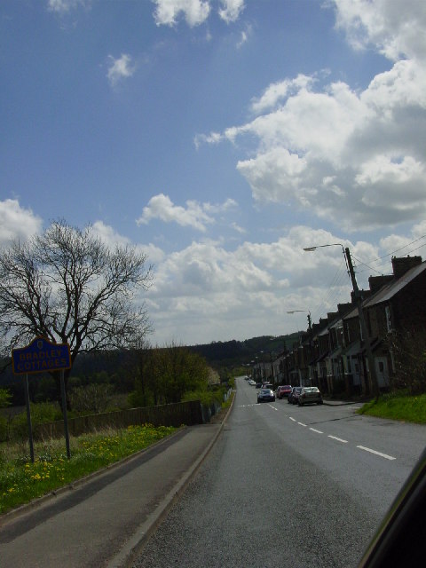
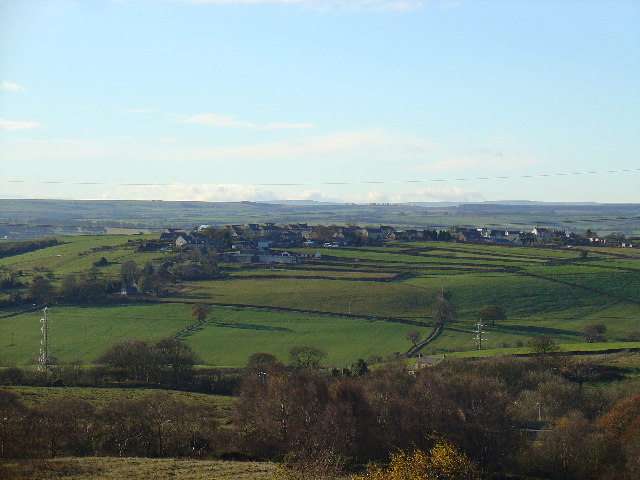
Brooms Dene, Durham, also known as Broomside, is a small valley located in County Durham, England. It is situated near the city of Durham and lies between the neighborhoods of Belmont and Gilesgate Moor. The name "Brooms Dene" refers to the wooded valley that runs through the area, which is known for its natural beauty and tranquility.
The valley is dominated by Broomside Park, a public park that covers a significant portion of the dene. The park offers various amenities for visitors, including walking and cycling paths, picnic areas, and a children's play area. With its lush greenery and well-maintained grounds, Brooms Dene is a popular destination for both locals and tourists seeking a peaceful escape from the city.
The dene features a diverse range of flora and fauna, with a variety of wildflowers, trees, and bird species inhabiting the area. It is also home to a small stream that meanders through the valley, adding to its picturesque charm. Alongside the park, there are some residential properties in the vicinity, providing a tranquil living environment for those fortunate enough to call Brooms Dene home.
Brooms Dene benefits from its close proximity to Durham city center, which offers a wide range of amenities, including shops, restaurants, and cultural attractions. The valley is well-connected to the surrounding areas by road and public transportation, making it easily accessible for both residents and visitors alike.
In summary, Brooms Dene, Durham, is a picturesque valley in County Durham, offering a peaceful retreat from the bustling city. With its beautiful park, diverse wildlife, and convenient location, it is a highly desirable place to live or visit for those seeking natural beauty and tranquility.
If you have any feedback on the listing, please let us know in the comments section below.
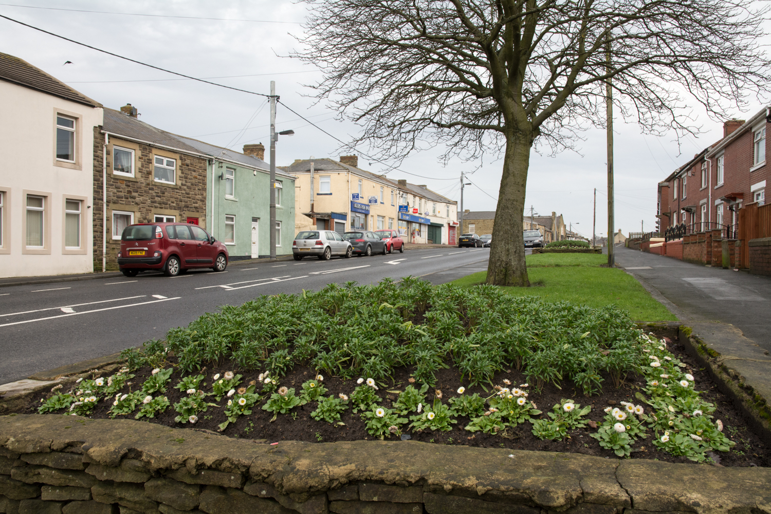
Brooms Dene Images
Images are sourced within 2km of 54.859799/-1.7898689 or Grid Reference NZ1351. Thanks to Geograph Open Source API. All images are credited.


Brooms Dene is located at Grid Ref: NZ1351 (Lat: 54.859799, Lng: -1.7898689)
Unitary Authority: County Durham
Police Authority: Durham
What 3 Words
///bitter.backers.dwarves. Near Consett, Co. Durham
Nearby Locations
Related Wikis

Leadgate railway station
Leadgate railway station served the village of Leadgate, County Durham, England, from 1896 to 1964 on the Stanhope and Tyne Railway. == History == The...
Stony Heap
Stony Heap is a hamlet in County Durham, in England. It is situated between Leadgate and Annfield Plain. There used to be 6 houses and 2 farms plus the...
Leadgate, County Durham
Leadgate is a village in County Durham, in England. It is situated to the north-east of Consett. The Roman road Dere Street runs straight through the middle...
Carrhouse railway station
Carrhouse railway station, also known as Carr House railway station, served the area of Carrhouse, County Durham, England, from 1858 to 1868 on the Stanhope...
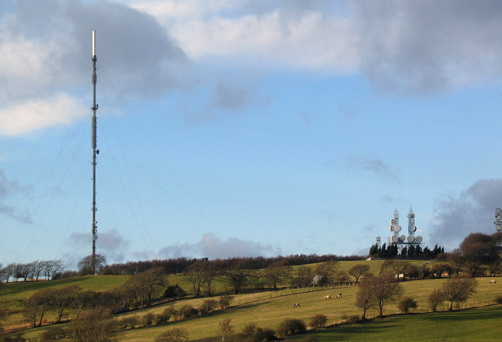
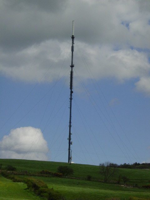
Pontop Pike transmitting station
The Pontop Pike transmitting station is a facility for telecommunications and broadcasting situated on a 312-metre (1,024-ft) high hill of the same name...
Crook Hall
Crook Hall, sited near Lanchester, County Durham, some 8 miles (13 km) north west of the city of Durham, was the seat of the Baker family and one of two...

Derwentside
Derwentside was, from 1974 to 2009, a local government district in County Durham, England. The district took its name from the River Derwent, which made...
Crookhall
Crookhall is a village in County Durham, in England. It is situated between Consett and Delves Lane. It is named after, and intimately connected to, Crook...
Nearby Amenities
Located within 500m of 54.859799,-1.7898689Have you been to Brooms Dene?
Leave your review of Brooms Dene below (or comments, questions and feedback).