Vale of Pewsey
Valley in Wiltshire
England
Vale of Pewsey
The Vale of Pewsey is a beautiful valley located in the county of Wiltshire, England. Situated between the Marlborough Downs to the east and the Salisbury Plain to the west, this picturesque area covers approximately 15 miles in length. The valley is named after the village of Pewsey, which lies at its heart.
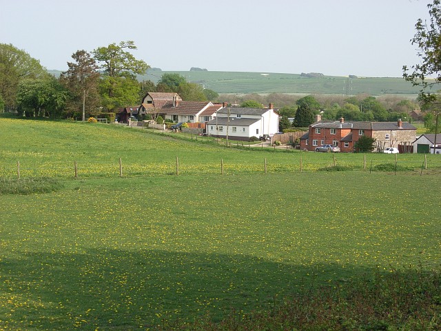
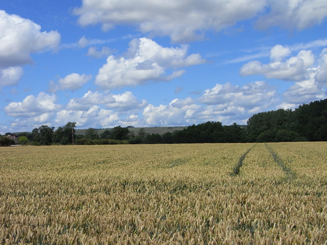
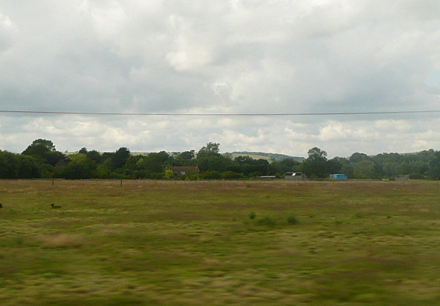
The Vale of Pewsey is known for its stunning natural beauty, with rolling hills, open fields, and charming rural landscapes. The River Avon flows through the valley, adding to its scenic appeal. The valley is also home to a number of small villages and hamlets, each with its own unique character and charm.
The area is steeped in history, with evidence of human habitation dating back thousands of years. The ancient landscape is dotted with archaeological sites, including burial mounds, hill forts, and stone circles. One of the most notable landmarks in the valley is the ancient mound known as Tan Hill, which offers panoramic views of the surrounding countryside.
The Vale of Pewsey is a haven for nature lovers and outdoor enthusiasts. The valley is crisscrossed with footpaths and bridleways, offering ample opportunities for walking, cycling, and horse riding. The area is also a popular destination for birdwatching, with a wide variety of species to be spotted in the fields, woodlands, and wetlands of the valley.
Overall, the Vale of Pewsey is a truly idyllic and tranquil location, providing a perfect escape from the hustle and bustle of modern life. Its natural beauty, rich history, and peaceful atmosphere make it a hidden gem in the heart of Wiltshire.
If you have any feedback on the listing, please let us know in the comments section below.
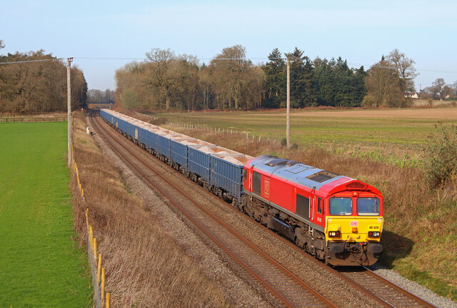
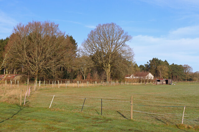
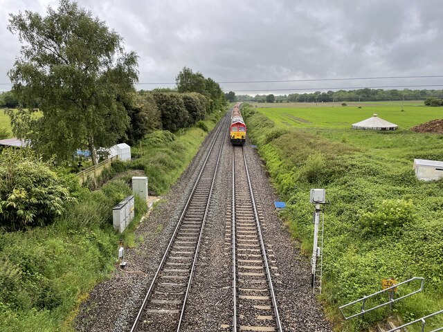
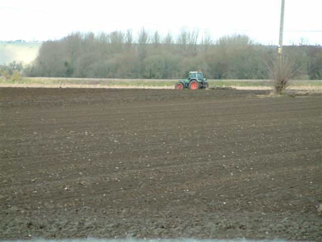
Vale of Pewsey Images
Images are sourced within 2km of 51.34787/-1.8085531 or Grid Reference SU1360. Thanks to Geograph Open Source API. All images are credited.


Vale of Pewsey is located at Grid Ref: SU1360 (Lat: 51.34787, Lng: -1.8085531)
Unitary Authority: Wiltshire
Police Authority: Wiltshire
What 3 Words
///wires.clattered.shops. Near Woodborough, Wiltshire
Nearby Locations
Related Wikis

Wilcot
Wilcot is a village and former civil parish, now in the parish of Wilcot, Huish and Oare, in Wiltshire, England, in the Vale of Pewsey about 6 miles (10...

Swanborough Tump
Swanborough Tump is a mound of earth in Manningford parish, Wiltshire, England. It has been considered to be a bowl barrow dating from the Bronze Age and...

Stanchester Hoard
The Stanchester Hoard is a hoard of 1,166 Roman coins dating from the fourth to early fifth century found in 2000 at Wilcot, in the Vale of Pewsey, Wiltshire...
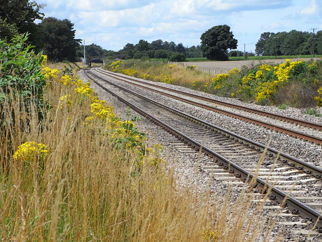
Manningford Halt railway station
Manningford Halt is a former railway station which opened in 1932 in Manningford parish, Wiltshire, England on the Berks and Hants Extension Railway between...

All Saints' Church, Manningford Bohune
All Saints' Church is a former Church of England church in Manningford Bohune, Wiltshire, England. Designed by Whitley C. Clacy, the church was built in...
Battle of Woden's Burg (592)
The Anglo-Saxon Chronicle records a battle fought in the year 592 at Woden's Barrow (Old English "Wōdnesbeorġ"), the neolithic long barrow now known as...
Battle of Woden's Burg (715)
The Anglo-Saxon Chronicle records a battle fought in the year 715 at Woden's Burg, the neolithic long barrow now known as Adam's Grave, near Marlborough...
Pewsey Vale School
Pewsey Vale School is a small, mixed secondary school in Pewsey, Wiltshire, England, for children aged 11 to 16. It became an academy in July 2011. The...
Have you been to Vale of Pewsey?
Leave your review of Vale of Pewsey below (or comments, questions and feedback).