Netherhead Clough
Valley in Cheshire High Peak
England
Netherhead Clough

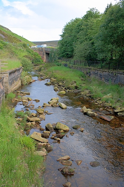
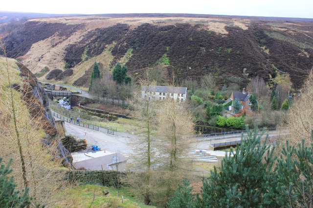
Netherhead Clough is a picturesque valley located in Cheshire, England. Nestled amidst the rolling hills of the county, this tranquil natural wonder is a haven for nature enthusiasts and avid hikers alike. The clough, or valley, is known for its stunning beauty and diverse wildlife, making it a popular destination for those seeking to explore the great outdoors.
The valley is characterized by its lush greenery, with a carpet of vibrant wildflowers that bloom during the spring and summer months. As visitors venture deeper into the clough, they will be greeted by a meandering stream that runs through the heart of the valley, adding to its serenity and charm.
The area is home to a wide variety of flora and fauna, from ancient oak trees and ferns to a rich assortment of bird species. Visitors may catch a glimpse of red kites soaring above, or hear the melodic songs of woodland birds as they traverse the well-maintained footpaths that wind their way through the clough.
Netherhead Clough also boasts several picturesque picnic spots, allowing visitors to relax and take in the breathtaking views. The valley is a popular spot for families, as children can explore the surrounding woodlands and learn about the local wildlife.
Overall, Netherhead Clough is a hidden gem in Cheshire, offering a peaceful retreat from the hustle and bustle of everyday life. With its natural beauty, diverse wildlife, and tranquil atmosphere, this valley is a must-visit destination for nature lovers and those seeking solace in the great outdoors.
If you have any feedback on the listing, please let us know in the comments section below.
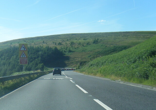
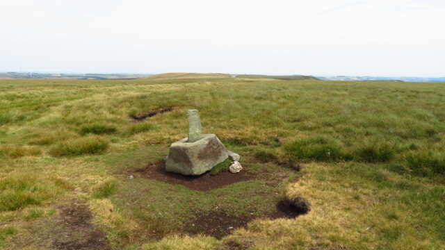
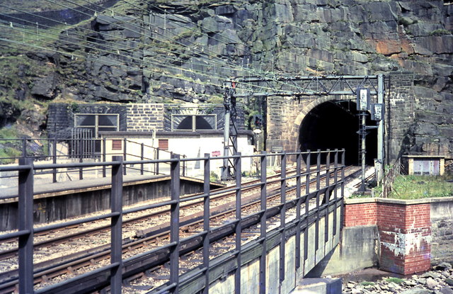
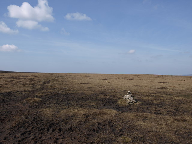
Netherhead Clough Images
Images are sourced within 2km of 53.499269/-1.8012747 or Grid Reference SE1300. Thanks to Geograph Open Source API. All images are credited.


Netherhead Clough is located at Grid Ref: SE1300 (Lat: 53.499269, Lng: -1.8012747)
Administrative County: Derbyshire
District: High Peak
Police Authority: Derbyshire
What 3 Words
///tables.cheater.simulator. Near Holmfirth, West Yorkshire
Nearby Locations
Related Wikis

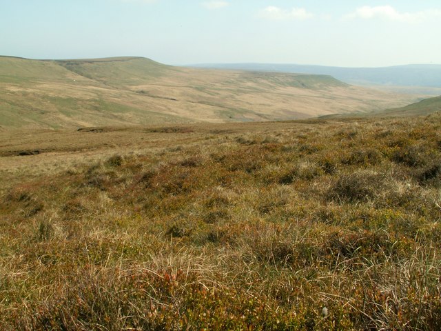
Longdendale
Longdendale is a valley in the Peak District of England, north of Glossop and southwest of Holmfirth. The name means "long wooded valley" and the valley...
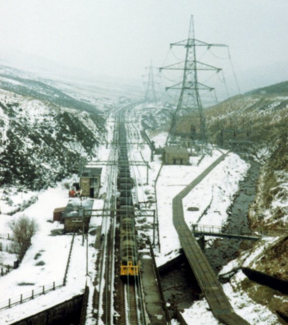
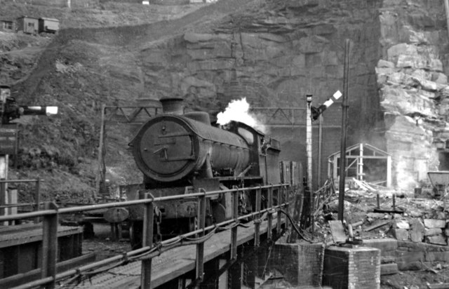
Woodhead railway station
Woodhead railway station was a railway station that served the hamlet of Woodhead on the Woodhead Line. == History == The station was opened on 8 April...
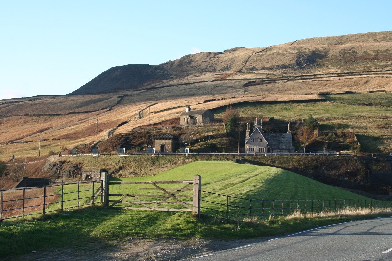
Woodhead, Derbyshire
Woodhead is a small and scattered settlement at the head of the Longdendale valley in Derbyshire, England. It lies on the trans-Pennine A628 road connecting...

Winscar Reservoir
Winscar Reservoir (also known as Winscar dam), is a compensation reservoir on the headwaters of the River Don in South Yorkshire, England. The reservoir...

Dunford Bridge railway station
Dunford Bridge railway station was a railway station that served the village of Dunford Bridge on the Sheffield, Ashton-under-Lyne and Manchester Railway...
Britland Edge Hill
Britland Edge Hill is a hill, 523 metres (1,716 ft) high, in the Peak District in England. It is located on the border of Derbyshire and West Yorkshire...

Dunford Bridge
Dunford Bridge is a remote hamlet in the civil parish of Dunford, lying northwest of Sheffield in South Yorkshire, England, 1.3 miles (2 km) from the...
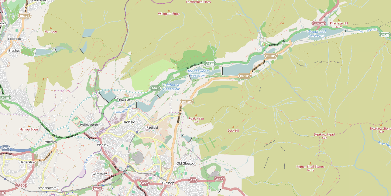
Longdendale Chain
The Longdendale Chain is a sequence of six reservoirs on the River Etherow in the Longdendale Valley, in northern Derbyshire. They were constructed between...
Nearby Amenities
Located within 500m of 53.499269,-1.8012747Have you been to Netherhead Clough?
Leave your review of Netherhead Clough below (or comments, questions and feedback).