Vale of Edale
Valley in Derbyshire High Peak
England
Vale of Edale

The Vale of Edale is a picturesque valley located in the county of Derbyshire, England. Situated in the heart of the Peak District National Park, it is renowned for its stunning natural beauty and serves as a popular destination for outdoor enthusiasts and nature lovers alike.
At approximately 300 meters above sea level, the valley is surrounded by rolling hills and magnificent moorland, providing visitors with breathtaking panoramic views. The River Noe flows through the valley, adding to its charm and creating a peaceful atmosphere. The valley is also home to the village of Edale, which serves as a gateway to the surrounding peaks and is a starting point for the famous Pennine Way long-distance trail.
The Vale of Edale offers a wide range of activities for visitors to enjoy. Hiking and walking are particularly popular, with numerous trails and paths catering to all levels of experience. The area is also renowned for its rock climbing opportunities, attracting climbers from across the country. Additionally, the valley boasts excellent conditions for mountain biking, horse riding, and birdwatching.
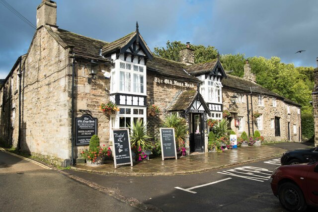
For those seeking a more relaxed experience, the Vale of Edale offers a tranquil environment for picnicking and simply taking in the breathtaking scenery. Visitors can also explore the village of Edale itself, which is home to charming cottages, a welcoming pub, and a small train station.
Overall, the Vale of Edale is a haven for nature enthusiasts, offering a diverse range of activities and stunning landscapes that showcase the beauty of the Peak District National Park.
If you have any feedback on the listing, please let us know in the comments section below.
Vale of Edale Images
Images are sourced within 2km of 53.366713/-1.8221941 or Grid Reference SK1185. Thanks to Geograph Open Source API. All images are credited.


Vale of Edale is located at Grid Ref: SK1185 (Lat: 53.366713, Lng: -1.8221941)
Administrative County: Derbyshire
District: High Peak
Police Authority: Derbyshire
What 3 Words
///broadens.town.successor. Near High Peak, Derbyshire
Nearby Locations
Related Wikis

Edale
Edale is a village and civil parish in the Peak District, Derbyshire, England, whose population was 353 at the 2011 Census. Edale, with an area of 7,030...
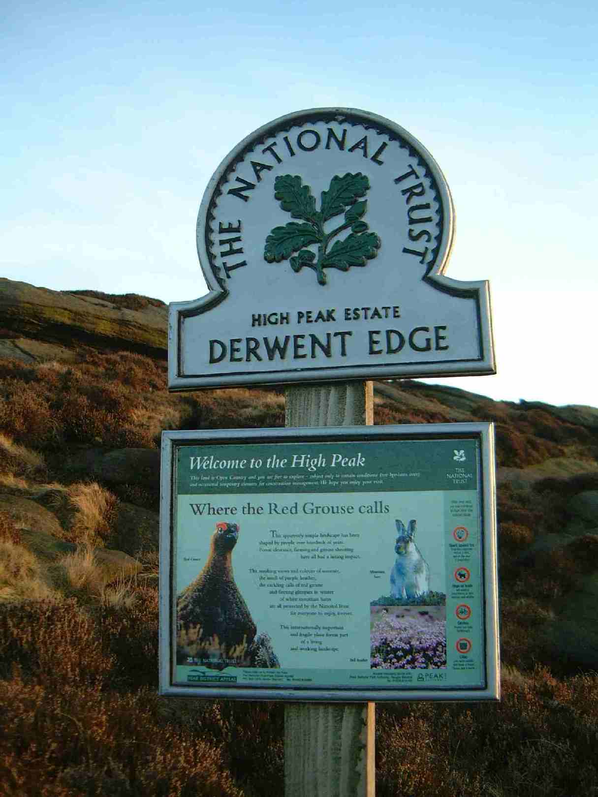
High Peak Estate
The High Peak Estate is an area of Pennine moorland in the ownership of the National Trust in the Dark Peak area of Derbyshire, England. The National...
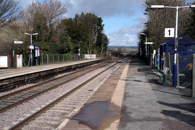
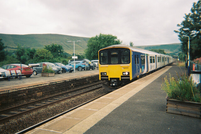
Edale railway station
Edale railway station serves the rural village of Edale in the Derbyshire Peak District, in England. It is located 20 miles (32 km) west of Sheffield and...

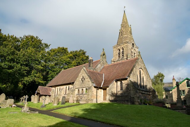
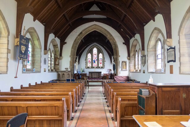
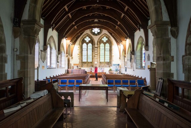
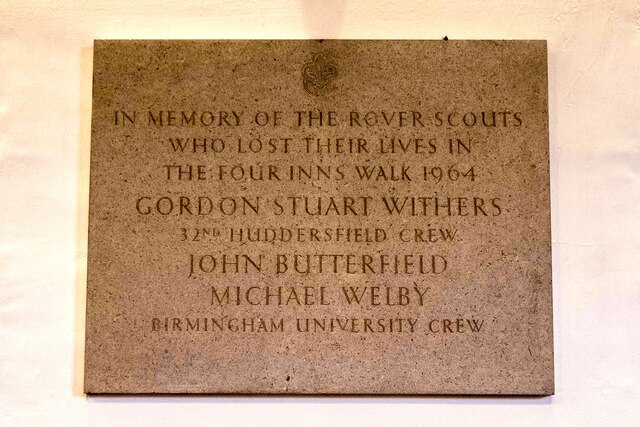
The Church of the Holy and Undivided Trinity, Edale
The Church of the Holy and Undivided Trinity, Edale, is a Grade II listed parish church in the Church of England in Edale, Derbyshire. == History == The...
Nearby Amenities
Located within 500m of 53.366713,-1.8221941Have you been to Vale of Edale?
Leave your review of Vale of Edale below (or comments, questions and feedback).