Hillsdale
Valley in Staffordshire Staffordshire Moorlands
England
Hillsdale
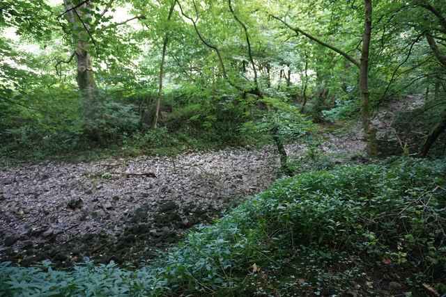
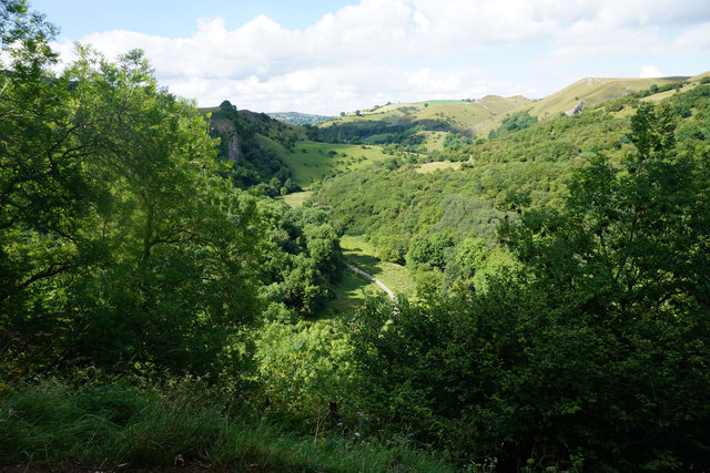
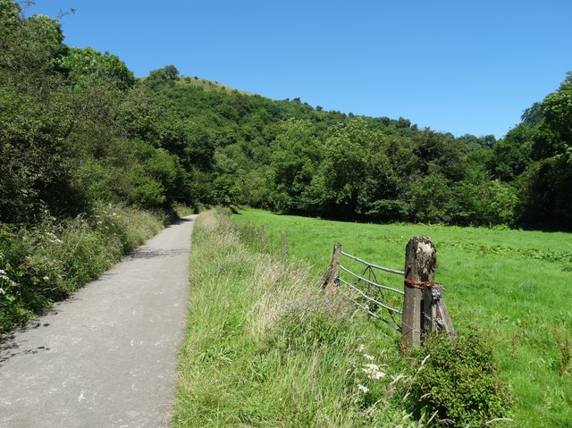
Hillsdale, Staffordshire (Valley) is a charming village nestled in the Staffordshire Moorlands district of England. With a population of approximately 1,200 residents, it offers a tranquil and picturesque setting for its inhabitants. The village is located in a valley, surrounded by stunning rolling hills and lush greenery, which provides a breathtaking backdrop for outdoor enthusiasts.
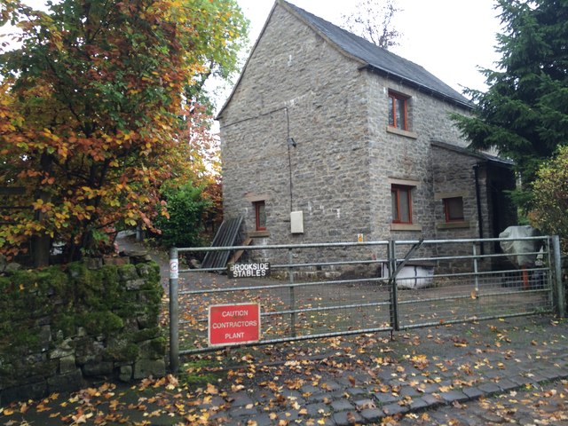
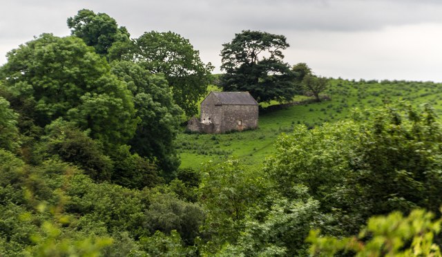
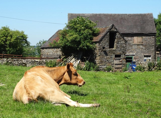
Hillsdale boasts a rich history, with evidence of settlements dating back to the Bronze Age. The village is known for its well-preserved traditional architecture, featuring quaint stone cottages, historic churches, and a charming village square. The community takes great pride in maintaining its heritage, evident in the well-tended gardens and meticulously maintained historical buildings.
Despite its small size, Hillsdale offers a range of amenities to its residents. The village has a small but thriving local economy, with independent shops, cafes, and pubs that cater to both locals and visitors. Additionally, there is a primary school, a community center, and a playing field, providing essential facilities for residents of all ages.
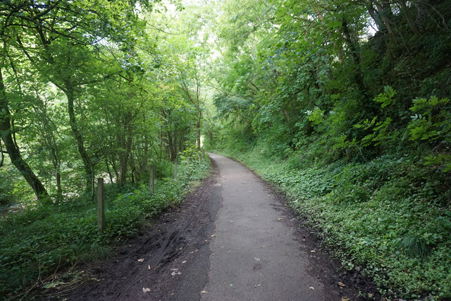
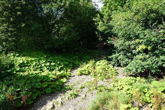
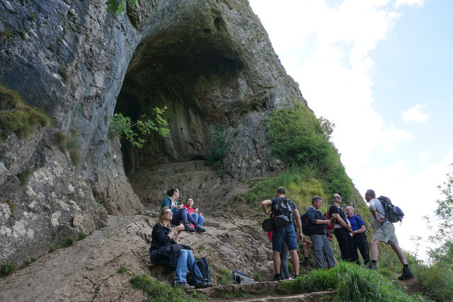
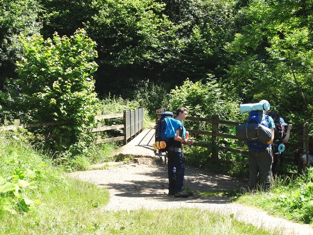
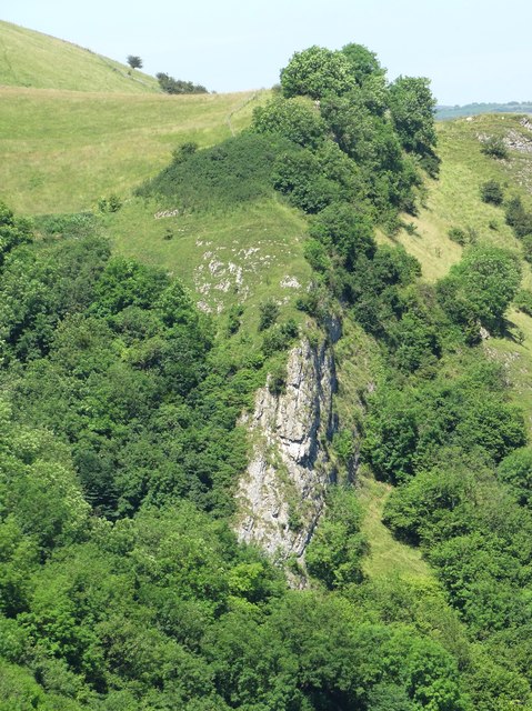
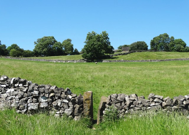
The natural landscape surrounding Hillsdale provides ample opportunities for outdoor activities. The village is a popular destination for hikers and nature enthusiasts, with numerous walking trails and scenic picnic spots to explore. The nearby hills offer stunning panoramic views of the surrounding countryside, making it an ideal location for photographers and nature lovers.
Overall, Hillsdale, Staffordshire (Valley) offers a peaceful and idyllic setting, combining natural beauty with a strong sense of community and heritage. It is a place where residents can enjoy a serene rural lifestyle while still having access to essential amenities and recreational opportunities.
If you have any feedback on the listing, please let us know in the comments section below.
Hillsdale Images
Images are sourced within 2km of 53.096301/-1.8790566 or Grid Reference SK0855. Thanks to Geograph Open Source API. All images are credited.


Hillsdale is located at Grid Ref: SK0855 (Lat: 53.096301, Lng: -1.8790566)
Administrative County: Staffordshire
District: Staffordshire Moorlands
Police Authority: Staffordshire
What 3 Words
///stump.respected.scrub. Near Newhaven, Derbyshire
Nearby Locations
Related Wikis

Grindon, Staffordshire
Grindon is a small village in the Staffordshire Peak District of England. == Geography == Grindon is situated near the southern end of the Peak District...

St Bartholomew's Church, Butterton
St Bartholomew's Church, Butterton is a Grade II listed parish church in the Church of England in Butterton. == History == St Bartholomew's Church was...

Wetton Mill railway station
Wetton Mill railway station was a minor station on the Leek and Manifold Light Railway serving the nearby Wetton Mill in Wetton, Staffordshire. The site...
Manifold Way
The Manifold Way is a footpath and cycle way in Staffordshire, England. Some 8 miles (13 km) in length, it runs from Hulme End (53.1307°N 1.8480°W / 53...

Butterton
Butterton is a small village in the Staffordshire Peak District of England (grid reference SK075565). It overlooks the Manifold Valley and Ecton Hill,...
Thor's Cave railway station
Thor's Cave railway station was a station on the Leek and Manifold Light Railway. Serving the landmark Thor's Cave in Grindon and Wetton. The station site...
Redhurst Crossing railway station
Redhurst Crossing railway station was a minor station on the Leek and Manifold Light Railway, located between Wetton Mill railway station, Staffordshire...
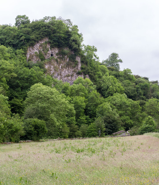
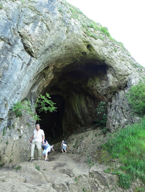
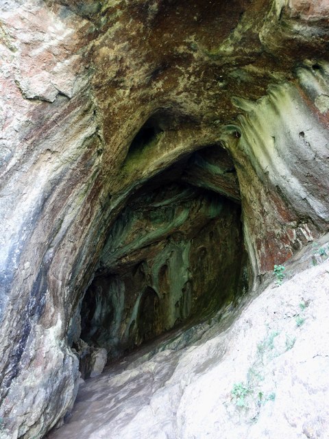
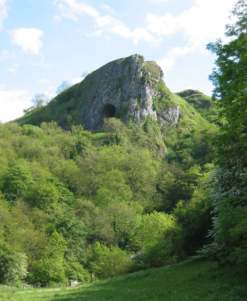
Thor's Cave
Thor's Cave (also known as Thor's House Cavern and Thyrsis's Cave) is a natural cavern located at SK09865496 in the Manifold Valley of the White Peak in...
Nearby Amenities
Located within 500m of 53.096301,-1.8790566Have you been to Hillsdale?
Leave your review of Hillsdale below (or comments, questions and feedback).