Barmoor Clough
Valley in Derbyshire High Peak
England
Barmoor Clough
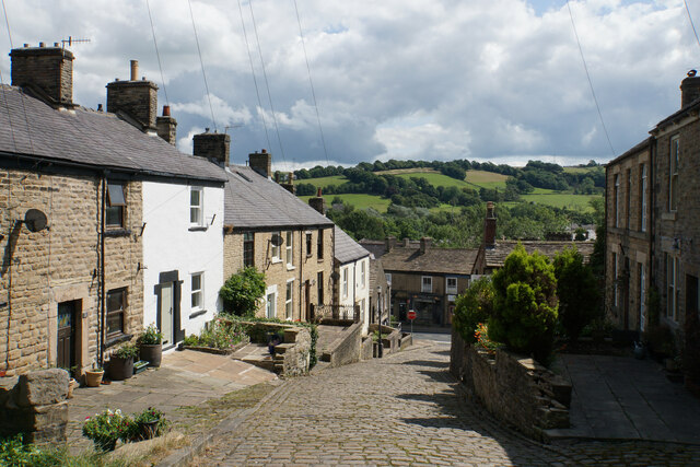
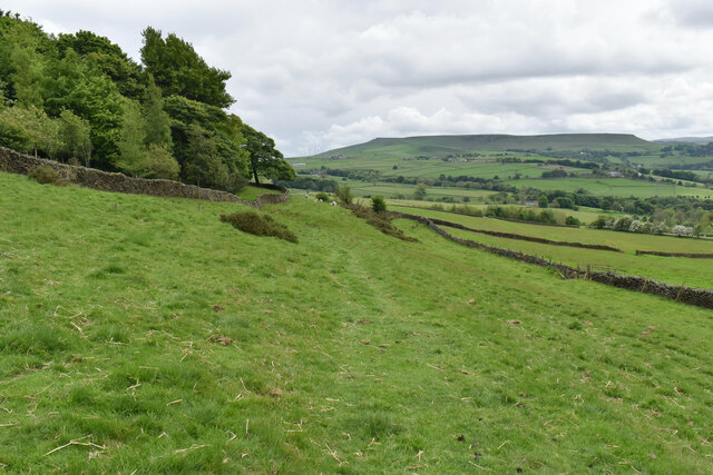
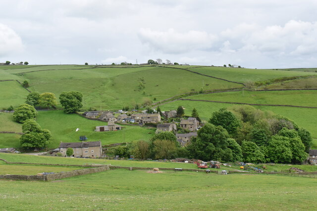
Barmoor Clough is a picturesque valley located in Derbyshire, England. Situated in the Peak District National Park, it offers visitors a stunning natural landscape with rolling hills, dense woodlands, and a meandering river. The valley is nestled between the towns of Glossop and Hayfield, making it easily accessible to both locals and tourists.
The geography of Barmoor Clough is characterized by its steep slopes, which provide breathtaking views of the surrounding countryside. The area is known for its rich biodiversity, with an abundance of plant and animal species. The river that runs through the valley adds to its charm, creating a tranquil atmosphere and providing a habitat for various aquatic creatures.
The valley is a popular destination for outdoor enthusiasts, offering a range of activities such as hiking, cycling, and wildlife spotting. There are numerous well-marked trails that cater to all skill levels, allowing visitors to explore the valley's beauty at their own pace.
In addition to its natural wonders, Barmoor Clough also boasts historical significance. The valley is dotted with remnants of its industrial past, including old mill buildings and abandoned quarries. These relics offer a glimpse into the region's history and add an intriguing element to the landscape.
Overall, Barmoor Clough is a hidden gem in Derbyshire, offering visitors a chance to immerse themselves in the beauty of nature while also exploring the area's rich history. Whether seeking adventure or simply a peaceful retreat, this valley has something to offer for everyone.
If you have any feedback on the listing, please let us know in the comments section below.
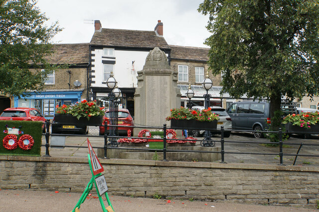
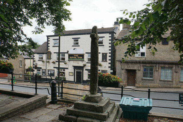
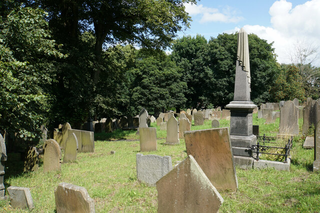
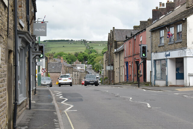
Barmoor Clough Images
Images are sourced within 2km of 53.313699/-1.8909021 or Grid Reference SK0779. Thanks to Geograph Open Source API. All images are credited.


Barmoor Clough is located at Grid Ref: SK0779 (Lat: 53.313699, Lng: -1.8909021)
Administrative County: Derbyshire
District: High Peak
Police Authority: Derbyshire
What 3 Words
///objective.comb.roosts. Near Dove Holes, Derbyshire
Nearby Locations
Related Wikis

Dove Holes Tunnel
Dove Holes Tunnel is a tunnel built by the Midland Railway between Peak Forest Signal Box and Chapel-en-le-Frith in Derbyshire in 1860–64, now carrying...

Chapel inclined plane
The Chapel Inclined Plane is an inclined plane immediately to the south of Chapel-en-le-Frith, High Peak, Derbyshire. The ground here rises sharply and...

The Bull Ring
The Bull Ring is a Class II henge that was built in the late Neolithic period near Dove Holes in Derbyshire, England.It has coordinates 53.300695°N 1.884423...

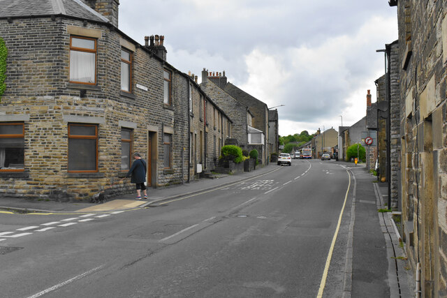
Dove Holes
Dove Holes is a village in the High Peak district of Derbyshire, England. It has a population of about 1,200 (2001), shown in the 2011 Census as being...
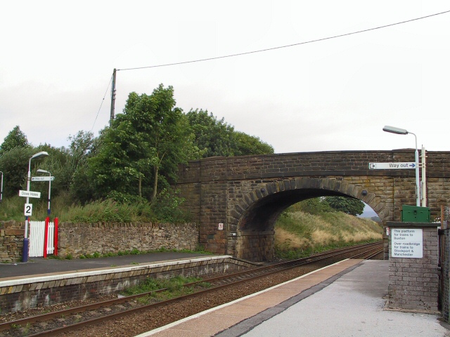
Dove Holes railway station
Dove Holes railway station serves the village of Dove Holes, Derbyshire, England. The station is on the Buxton line between Manchester Piccadilly and Buxton...

Bagshaw
Bagshaw is a hamlet in Derbyshire, England. The hamlet falls within the civil parish of Chapel-en-le-Frith. It is about 1.2 km or 0.75 miles east of Chapel...

High Peak Radio
High Peak Radio was an Independent Local Radio station broadcasting to the Peak District, Derbyshire, from studios in Chapel-en-le-Frith. It broadcast...

Chapel-en-le-Frith Town Hall
Chapel-en-le-Frith Town Hall is a municipal building in Market Street, Chapel-en-le-Frith, Derbyshire, England. The structure operates as a community events...
Nearby Amenities
Located within 500m of 53.313699,-1.8909021Have you been to Barmoor Clough?
Leave your review of Barmoor Clough below (or comments, questions and feedback).