Hog Holes Clough
Valley in Yorkshire
England
Hog Holes Clough

Hog Holes Clough is a picturesque valley located in the county of Yorkshire, England. Nestled in the heart of the Yorkshire Dales National Park, this stunning landscape offers visitors a unique blend of natural beauty and cultural heritage.
The valley gets its name from the numerous small holes or caves, known as "hog holes," that are scattered throughout the area. These holes were historically used as shelters by wild boars that roamed the region centuries ago. Today, the hog holes serve as an intriguing reminder of the valley's past.
Hog Holes Clough is characterized by its rolling hills, lush meadows, and meandering streams. The valley is home to a diverse range of flora and fauna, making it a haven for nature enthusiasts and wildlife lovers. Visitors can expect to see a variety of bird species, including peregrine falcons and red kites, as well as the occasional glimpse of deer or foxes.
In addition to its natural beauty, Hog Holes Clough also boasts a rich cultural history. The valley is dotted with remnants of old stone buildings, abandoned mills, and ancient stone circles, providing a glimpse into the area's past. The nearby village of Upper Wensleydale offers visitors a chance to explore charming traditional cottages, enjoy local cuisine, and learn about the region's agricultural heritage.
Hog Holes Clough is a haven for outdoor activities such as hiking, cycling, and birdwatching. The valley offers an extensive network of scenic trails, allowing visitors to explore the area at their own pace. Whether it's admiring the breathtaking views, immersing oneself in nature, or delving into the valley's history, Hog Holes Clough promises an unforgettable experience for all who visit.
If you have any feedback on the listing, please let us know in the comments section below.
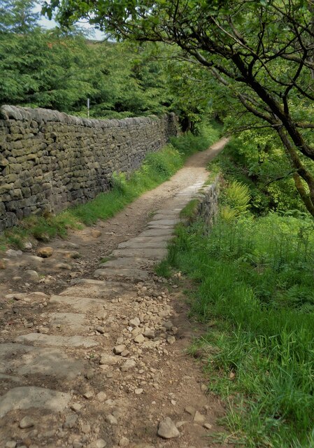
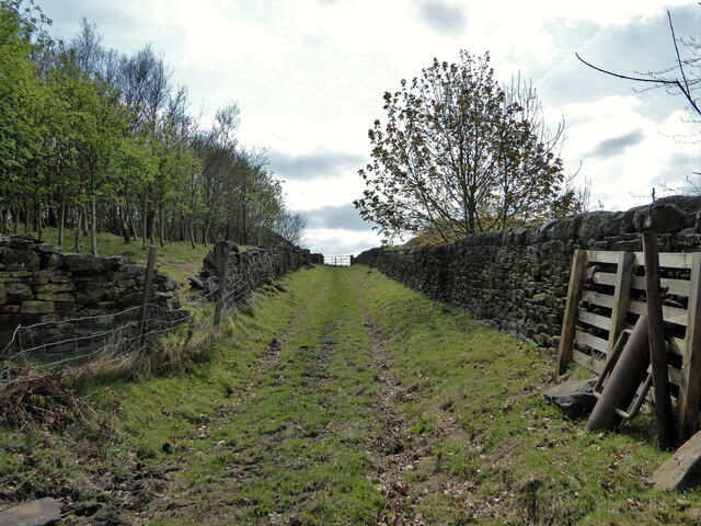
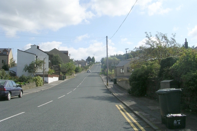
Hog Holes Clough Images
Images are sourced within 2km of 53.858145/-1.8994375 or Grid Reference SE0640. Thanks to Geograph Open Source API. All images are credited.


Hog Holes Clough is located at Grid Ref: SE0640 (Lat: 53.858145, Lng: -1.8994375)
Division: West Riding
Unitary Authority: Bradford
Police Authority: West Yorkshire
What 3 Words
///pops.shack.proven. Near Keighley, West Yorkshire
Nearby Locations
Related Wikis
Long Lee
Long Lee and Thwaites Brow is a suburb about one mile to the south east of the centre of the town of Keighley, West Yorkshire, England. == Features... ==

Low Mill
Low Mill is a former textile mill in Keighley, West Yorkshire, England. It was the first industrial building in Keighley, and the first mill in Yorkshire...

Keighley Central
Keighley Central is a ward in City of Bradford Metropolitan District Council in the county of West Yorkshire, England. Its population is 16,276 as per...

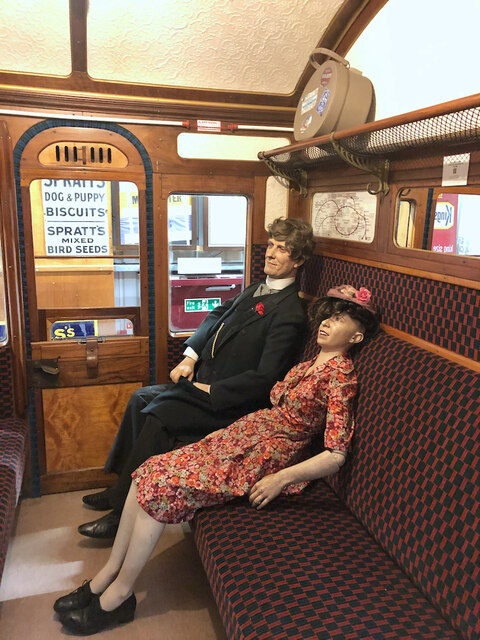
Museum of Rail Travel
The Museum of Rail Travel at Ingrow, England is operated by the Vintage Carriages Trust (VCT), a charity based just north of Ingrow (West) railway station...
Nearby Amenities
Located within 500m of 53.858145,-1.8994375Have you been to Hog Holes Clough?
Leave your review of Hog Holes Clough below (or comments, questions and feedback).