An Leth-Pheighinn

Settlement in Inverness-shire

Scotland

An Leth-Pheighinn

Water utility in Glendale Operated by Scottish Water, this installation is beside the B884 road and just below the summit of the pass between Colbost and the village of Glendale, over the shoulder of Beinn Tobhtaig (Ben Totaig).  Water to supply the local communities is normally in sufficient supply from the local hills, but in dry spells it has to be supplemented by road tankers which discharge to an intake at the summit.
Water utility in Glendale Credit: Tiger

An Leth-Pheighinn, also known as Inverness-shire, is a historic county located in the Scottish Highlands of Scotland. With a diverse landscape encompassing mountains, lochs, and rugged coastlines, it is a picturesque region that attracts both nature enthusiasts and history buffs.

The county is centered around the city of Inverness, which serves as its administrative center and is known as the "Capital of the Highlands." Inverness boasts a rich heritage, with its origins dating back to prehistoric times. The city is home to several notable landmarks, including the imposing Inverness Castle, which overlooks the River Ness, and St. Andrews Cathedral, a magnificent 19th-century structure.

Outside of Inverness, An Leth-Pheighinn offers a wealth of natural beauty. The county is dominated by the majestic Cairngorms National Park, a vast wilderness ideal for hiking, skiing, and wildlife spotting. Loch Ness, one of Scotland's most famous lochs, is also located within the county's boundaries. Renowned for its mythical monster, Nessie, the loch draws thousands of tourists each year.

In addition to its natural attractions, An Leth-Pheighinn is steeped in history. The area is scattered with ancient castles, such as Cawdor Castle and Urquhart Castle, which provide a glimpse into Scotland's turbulent past. The county also has a strong Gaelic heritage, with many residents still speaking the language and traditional Highland games being held annually.

Overall, An Leth-Pheighinn, Inverness-shire, offers a unique blend of stunning landscapes, historical sites, and cultural experiences, making it a must-visit destination for travelers seeking an authentic Scottish experience.

If you have any feedback on the listing, please let us know in the comments section below.

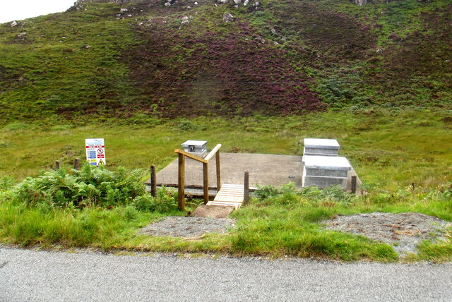
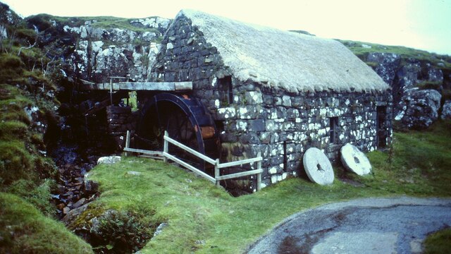
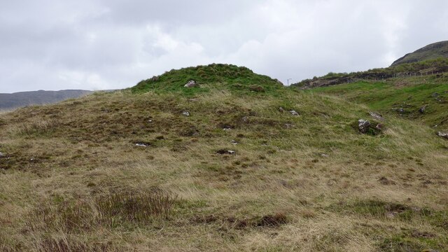
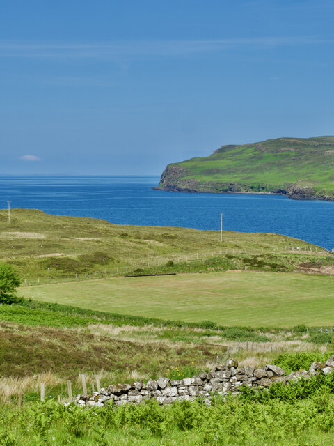
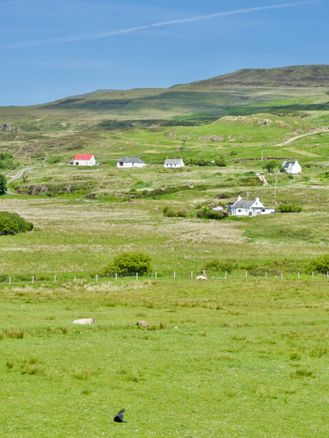
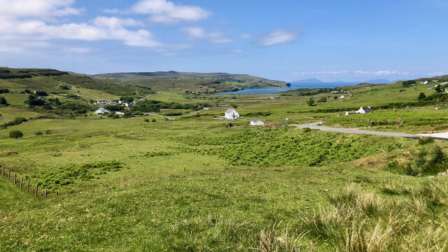
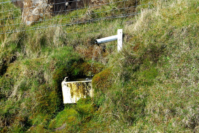
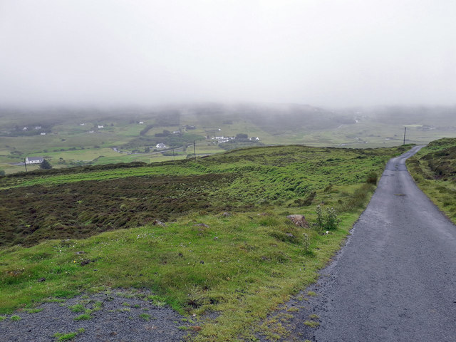
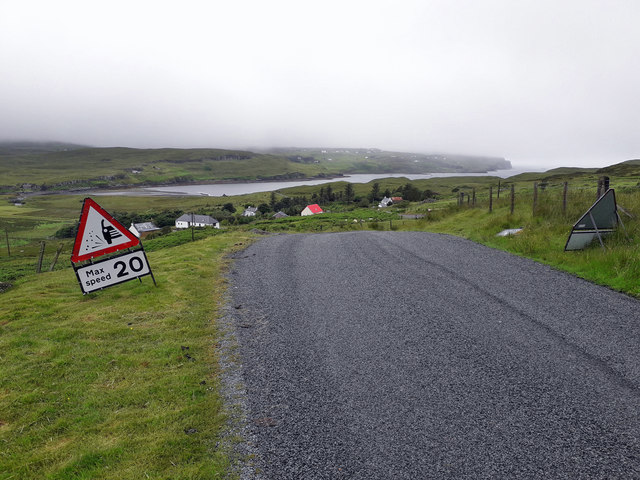
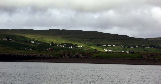
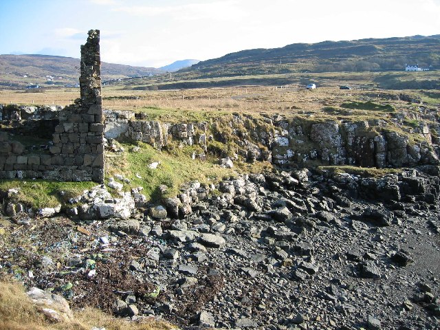
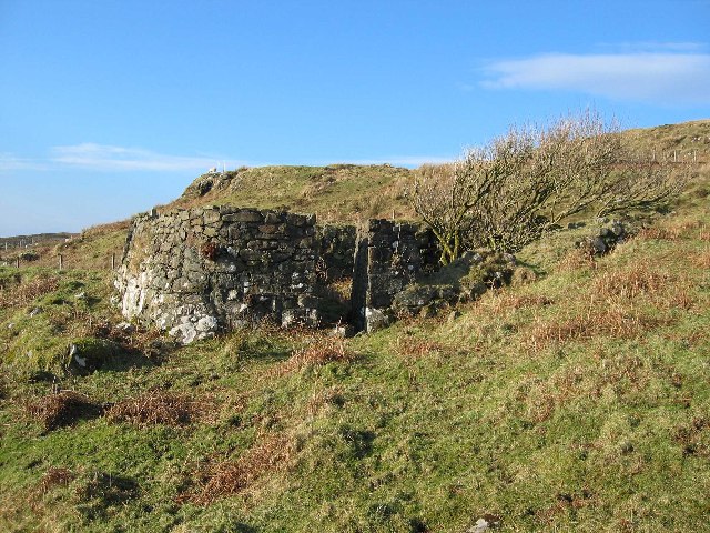
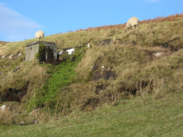
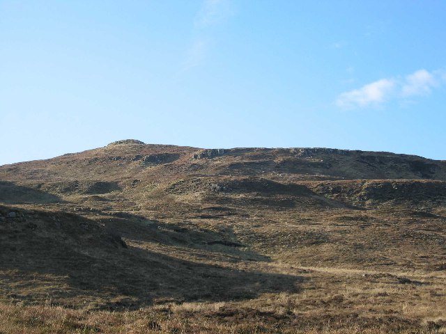
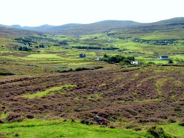
An Leth-Pheighinn Images

Images are sourced within 2km of 57.447895/-6.7072552 or Grid Reference NG1749. Thanks to Geograph Open Source API. All images are credited.

Water utility in Glendale Operated by Scottish Water, this installation is beside the B884 road and just below the summit of the pass between Colbost and the village of Glendale, over the shoulder of Beinn Tobhtaig (Ben Totaig).  Water to supply the local communities is normally in sufficient supply from the local hills, but in dry spells it has to be supplemented by road tankers which discharge to an intake at the summit.
Water utility in Glendale
Operated by Scottish Water, this installation is beside the B884 road and just below the summit of the pass between Colbost and the village of Glendale, over the shoulder of Beinn Tobhtaig (Ben Totaig). Water to supply the local communities is normally in sufficient supply from the local hills, but in dry spells it has to be supplemented by road tankers which discharge to an intake at the summit.
Glendale Water Mill An 18th century corn mill <span class="nowrap"><a title="https://canmore.org.uk/site/173200/skye-glendale-glendale-mill-and-kiln" rel="nofollow ugc noopener" href="https://canmore.org.uk/site/173200/skye-glendale-glendale-mill-and-kiln">Link</a><img style="margin-left:2px;" alt="External link" title="External link - shift click to open in new window" src="https://s1.geograph.org.uk/img/external.png" width="10" height="10"/></span>
Glendale Water Mill
An 18th century corn mill LinkExternal link
Prehistoric cairn at Glendale <span class="nowrap"><a title="https://canmore.org.uk/site/10580/skye-hamaramore" rel="nofollow ugc noopener" href="https://canmore.org.uk/site/10580/skye-hamaramore">Link</a><img style="margin-left:2px;" alt="External link" title="External link - shift click to open in new window" src="https://s1.geograph.org.uk/img/external.png" width="10" height="10"/></span>
Prehistoric cairn at Glendale
Awe-inspiring—A mown field near Hamaramore in all its glory
A' Glas Pheighinn—A hillside harmony of white houses with a splash of red
Scenic serenity—Glendale township and Loch Pooltiel in the distance
Impromptu drinking fountain Beside the minor road at Glasphein / A' Ghlas Pheighinn, and perhaps catering mainly for wandering animals, it is fed by a small burn running off the hillside.
Impromptu drinking fountain
Beside the minor road at Glasphein / A' Ghlas Pheighinn, and perhaps catering mainly for wandering animals, it is fed by a small burn running off the hillside.
Descending into Glendale Coming down off the moor, with mist thick over the hills on the far side of the valley.
Descending into Glendale
Coming down off the moor, with mist thick over the hills on the far side of the valley.
Recently resurfaced road The condition of nearly all of the roads in Glendale had become very poor in the last year or so. The council have recently resurfaced some of the roads, and topped them with a generous coating of small stone chippings.
Recently resurfaced road
The condition of nearly all of the roads in Glendale had become very poor in the last year or so. The council have recently resurfaced some of the roads, and topped them with a generous coating of small stone chippings.
The head of Loch Pooltiel on Skye
Ruin by Loch Pooltiel The gable of an old building right on the beach.
Ruin by Loch Pooltiel
The gable of an old building right on the beach.
Ruined House in Feriniquarrie
Private Water Supply Above the community at Glasphein, this tank collects and supplies water to one of the houses below.
Private Water Supply
Above the community at Glasphein, this tank collects and supplies water to one of the houses below.
Boineid an Fheidh Viewed looking west from above Totaig.
Boineid an Fheidh
Viewed looking west from above Totaig.
Croftland at Feriniquarrie Overlooking Glendale.
Croftland at Feriniquarrie
Overlooking Glendale.
Loch Pooltiel Looking towards Glendale along the loch
Loch Pooltiel
Looking towards Glendale along the loch
Croftland at Glasphein Looking towards Glen Dale.
Croftland at Glasphein
Looking towards Glen Dale.
Croftland at Glasphein With a view to Glendale village.
Croftland at Glasphein
With a view to Glendale village.
Show me another place!

An Leth-Pheighinn is located at Grid Ref: NG1749 (Lat: 57.447895, Lng: -6.7072552)

Unitary Authority: Highland

Police Authority: Highlands and Islands

Also known as: Lephin

What 3 Words

///uttering.spot.noticing. Near Glendale, Highland

Related Wikis

Glendale, Skye

Glendale (Scottish Gaelic: Gleann Dail) is a community-owned estate on the north-western coastline of the Duirinish peninsula on the island of Skye and...

Feriniquarrie

Feriniquarrie (Scottish Gaelic: Fearann MhicGuaire) is a remote scattered crofting township, situated close to Glendale, on the Duirinish peninsula, in...

Fasach

Fasach (Scottish Gaelic: Fàsach) is a crofting settlement in Glendale on the Duirinish peninsula of the Isle of Skye, Scottish Highlands and is in the...

Milovaig

Milovaig (Scottish Gaelic: Mìolabhaig), comprises two small scattered, mixed crofting and residential townships, consisting of Lower Milovaig to the North...

Nearby Amenities

Located within 500m of 57.447895,-6.7072552
Bus Stop
Post Office
Naptan AtcoCode: 6700712723
Naptan Bearing: E
Naptan CommonName: Post Office
Naptan Indicator: o/s Post Office
Naptan Landmark: Post Office
Naptan NaptanCode: 45328262
Naptan Street: B884
Naptan Verified: no
Shelter: yes
Source: naptan_import
Survey: yes
Lat/Long: 57.4485057/-6.70791
Glendale War Memorial
Historic: memorial
Lat/Long: 57.4501947/-6.7045337
An Leth-Pheighinn
Name En: Lephin
Name Gd: An Leth-Pheighinn
Place: hamlet
Source: OS_OpenData_StreetView
Lat/Long: 57.4461859/-6.7050489
Bicycle Parking
Bicycle Parking: stands
Capacity: 10
Covered: no
Lat/Long: 57.4484954/-6.7046403
General Stores
Shop: convenience
Lat/Long: 57.4481808/-6.7079183
Glendale
Description: Glendale is a string of hamlets and countryside which is commonly used to identify the general area and estate
Name Gd: Gleann Dail
Place: village
Wikidata: Q1979975
Wikipedia: en:Glendale, Skye
Lat/Long: 57.4482863/-6.7093848
Post Box
Collection Times: Mo-Sa 07:45
Operator: Royal Mail
Post Box Mounting: pole
Post Box Type: lamp
Ref: IV55 56
Royal Cypher: scottish_crown
Lat/Long: 57.4482242/-6.7079072
Telephone
Booth: KX100
Covered: booth
Source: survey
Lat/Long: 57.4485463/-6.7086068
Power: pole
Lat/Long: 57.4478191/-6.7150699
Power: pole
Lat/Long: 57.4480704/-6.7136024
Power: pole
Lat/Long: 57.4483173/-6.7121209
Power: pole
Lat/Long: 57.4481635/-6.7106514
Power: pole
Lat/Long: 57.4480173/-6.7093691
Power: pole
Lat/Long: 57.4478473/-6.7077245
Power: pole
Lat/Long: 57.4476805/-6.7062128
Power: pole
Lat/Long: 57.4474779/-6.7042743
Power: pole
Lat/Long: 57.4472721/-6.7023217
Power: pole
Lat/Long: 57.4470598/-6.7003933
Defibrillator
Defibrillator Location: outside main door of Glendale Community Centre
Emergency: defibrillator
Opening Hours: 24/7
Ref GB The Circuit: F3540A43-6871-4C98-8D0A-ADF700B87C89
Lat/Long: 57.4485501/-6.7044041
Entrance: main
Lat/Long: 57.4485448/-6.7044203
Toilets
Lat/Long: 57.4485248/-6.7043343
The data included in this document is from www.openstreetmap.org. The data is made available under ODbL.

Have you been to An Leth-Pheighinn?

Leave your review of An Leth-Pheighinn below (or comments, questions and feedback).