West Dean
Valley in Northumberland
England
West Dean

West Dean is a charming village located in the picturesque Northumberland Valley, nestled between rolling hills and picturesque landscapes. Situated in the northernmost county of England, it is part of the larger Northumberland region. With a population of around 500 residents, West Dean maintains a close-knit community atmosphere.
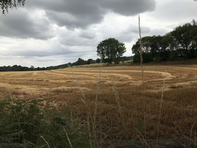
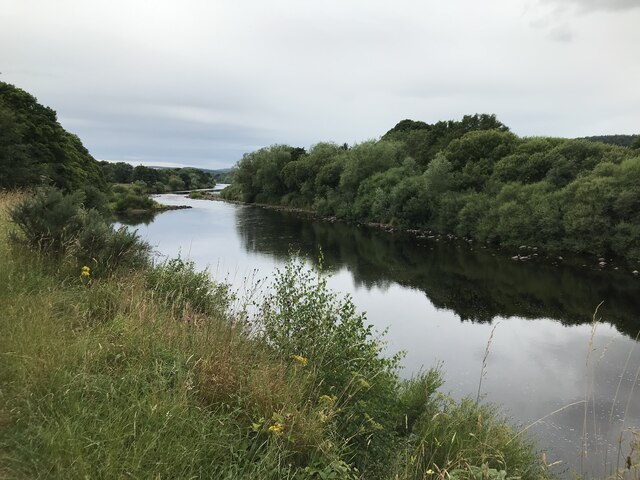
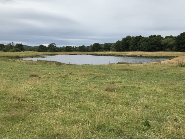
The village is known for its idyllic countryside setting, offering breathtaking views of the surrounding Northumberland National Park. The area is a haven for nature enthusiasts, with ample opportunities for hiking, cycling, and exploring the nearby Cheviot Hills. The tranquil River Coquet meanders through the village, providing a serene backdrop for leisurely walks or picnics by the water.
West Dean boasts a rich history, with several historic landmarks that attract visitors from far and wide. The iconic West Dean Church, dating back to the 12th century, is a focal point of the village and a testament to its long-standing heritage. The village also features traditional stone-built houses and quaint cottages, adding to its timeless charm.
While West Dean is predominantly a residential village, it offers a range of amenities and services to cater to the needs of its residents. These include a local pub, a community center, a primary school, and a small grocery store. For more extensive shopping and entertainment options, the nearby town of Alnwick is easily accessible.
Overall, West Dean, Northumberland (Valley) is a peaceful and scenic village that offers a tranquil escape from the hustle and bustle of city life. Whether visitors seek outdoor adventures, a glimpse into history, or simply a place to unwind, this charming village has something to offer to everyone.
If you have any feedback on the listing, please let us know in the comments section below.
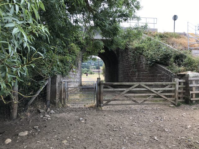
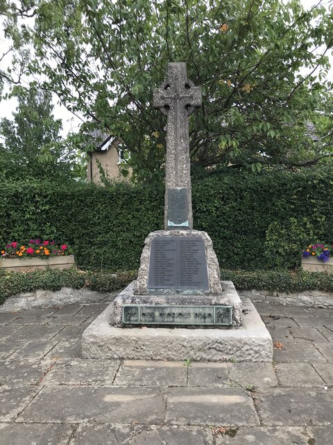
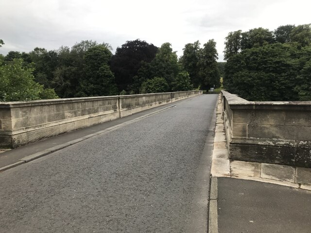
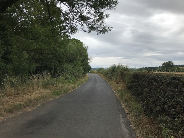
West Dean Images
Images are sourced within 2km of 54.964175/-1.9047759 or Grid Reference NZ0663. Thanks to Geograph Open Source API. All images are credited.


West Dean is located at Grid Ref: NZ0663 (Lat: 54.964175, Lng: -1.9047759)
Unitary Authority: Northumberland
Police Authority: Northumbria
What 3 Words
///magnitude.lands.wound. Near Stocksfield, Northumberland
Related Wikis

Ovington, Northumberland
The civil parish of Ovington lies in southern Northumberland, on the north bank of the River Tyne. It is one of the smallest parishes in the county....

Cherryburn
Cherryburn is a cottage in Mickley, Northumberland, England. It was the birthplace of Thomas Bewick, an English wood engraver and ornithologist. The cottage...

Bywell Bridge
Bywell Bridge is a 19th-century stone bridge across the River Tyne. It is a Grade II listed building. == History == The bridge was opened in 1838. It was...

Branch End
Branch End is part of the village of Stocksfield in Northumberland, England. It is situated at the junction of the A695 Main Road with New Ridley Road...
Nearby Amenities
Located within 500m of 54.964175,-1.9047759Have you been to West Dean?
Leave your review of West Dean below (or comments, questions and feedback).